Loading...
Browse every satellite we provide imagery from. Search by name or filter by vendor, resolution, spectral bands and status to find the right source, then open any satellite for full specifications.
27 / 27

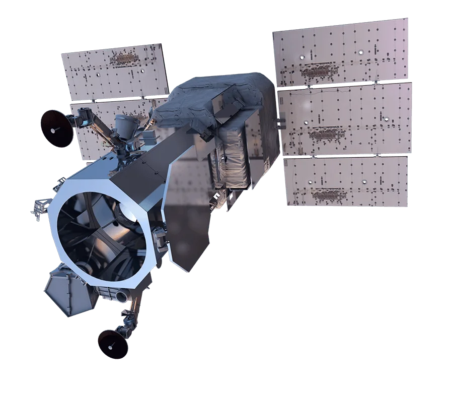
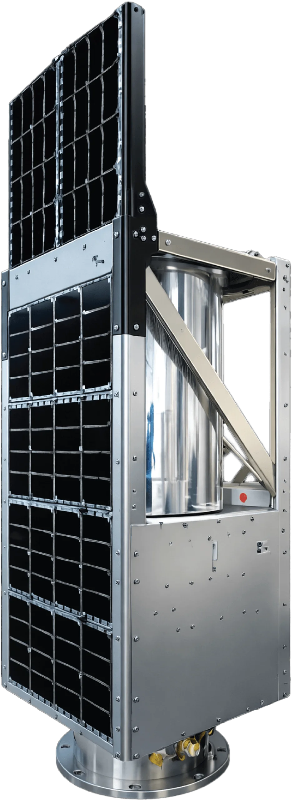
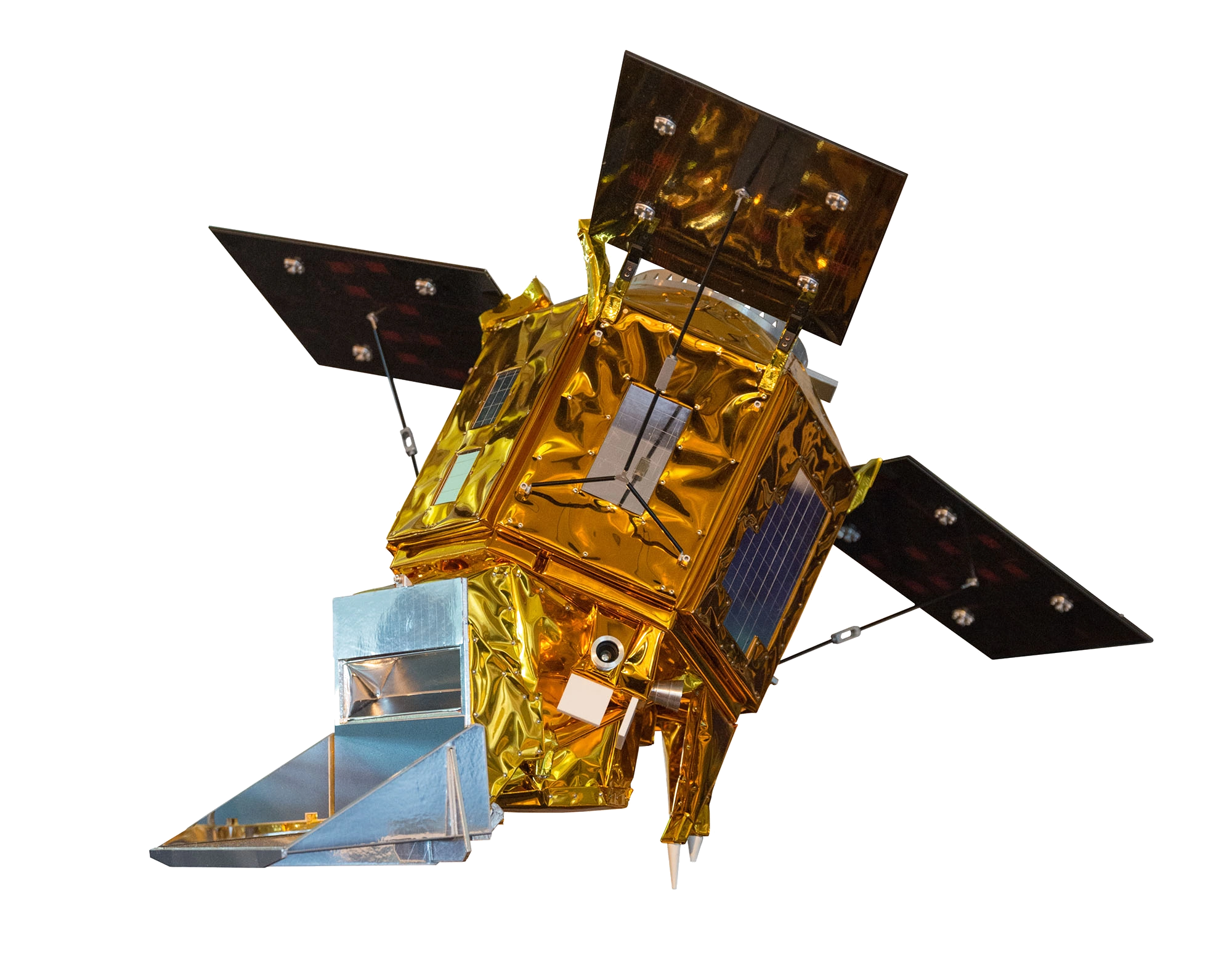
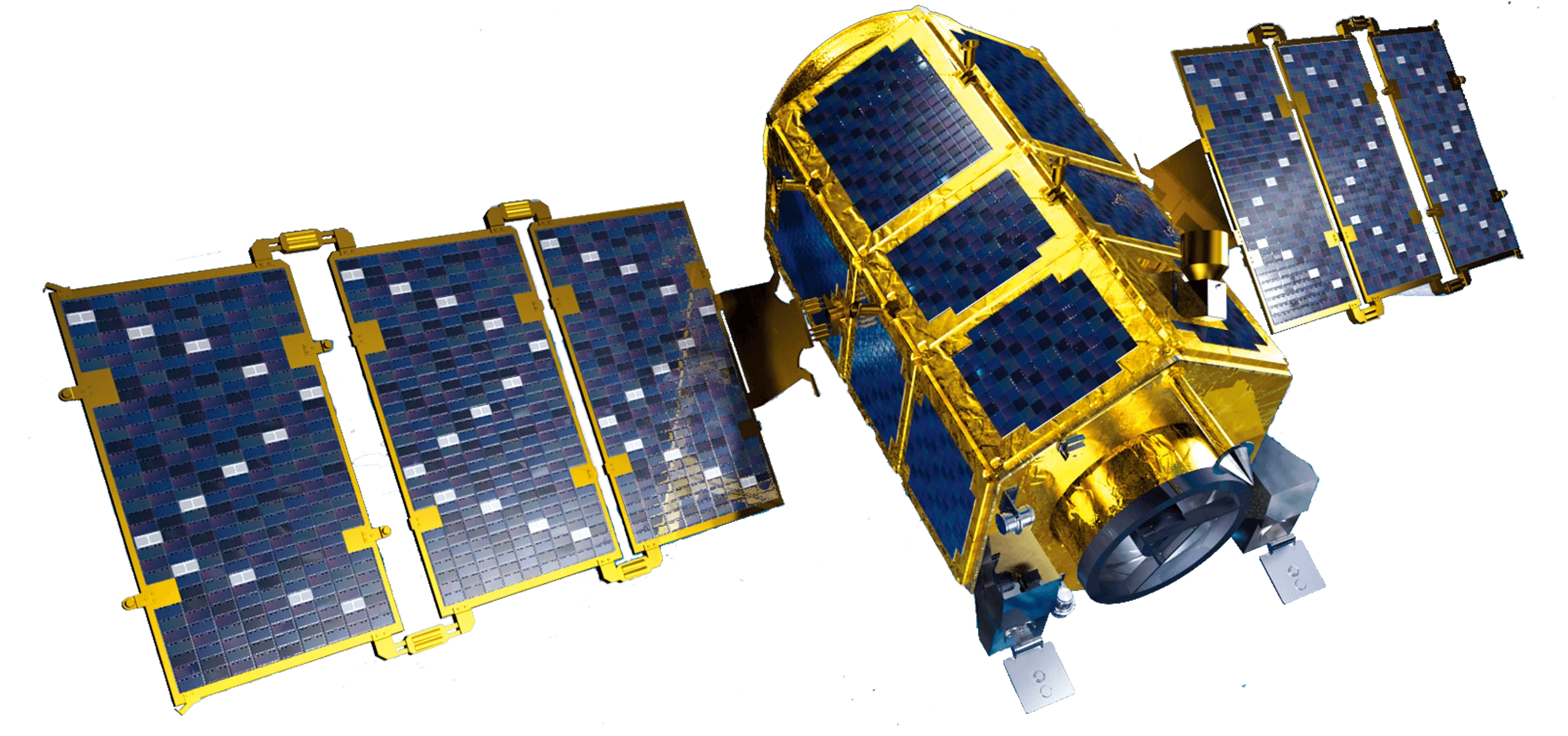
South Korean very high resolution optical satellite from KARI, delivering roughly 30 cm panchromatic imagery and distributed commercially by SI Imaging Services (SIIS).
Resolution
30cm
Bands
4
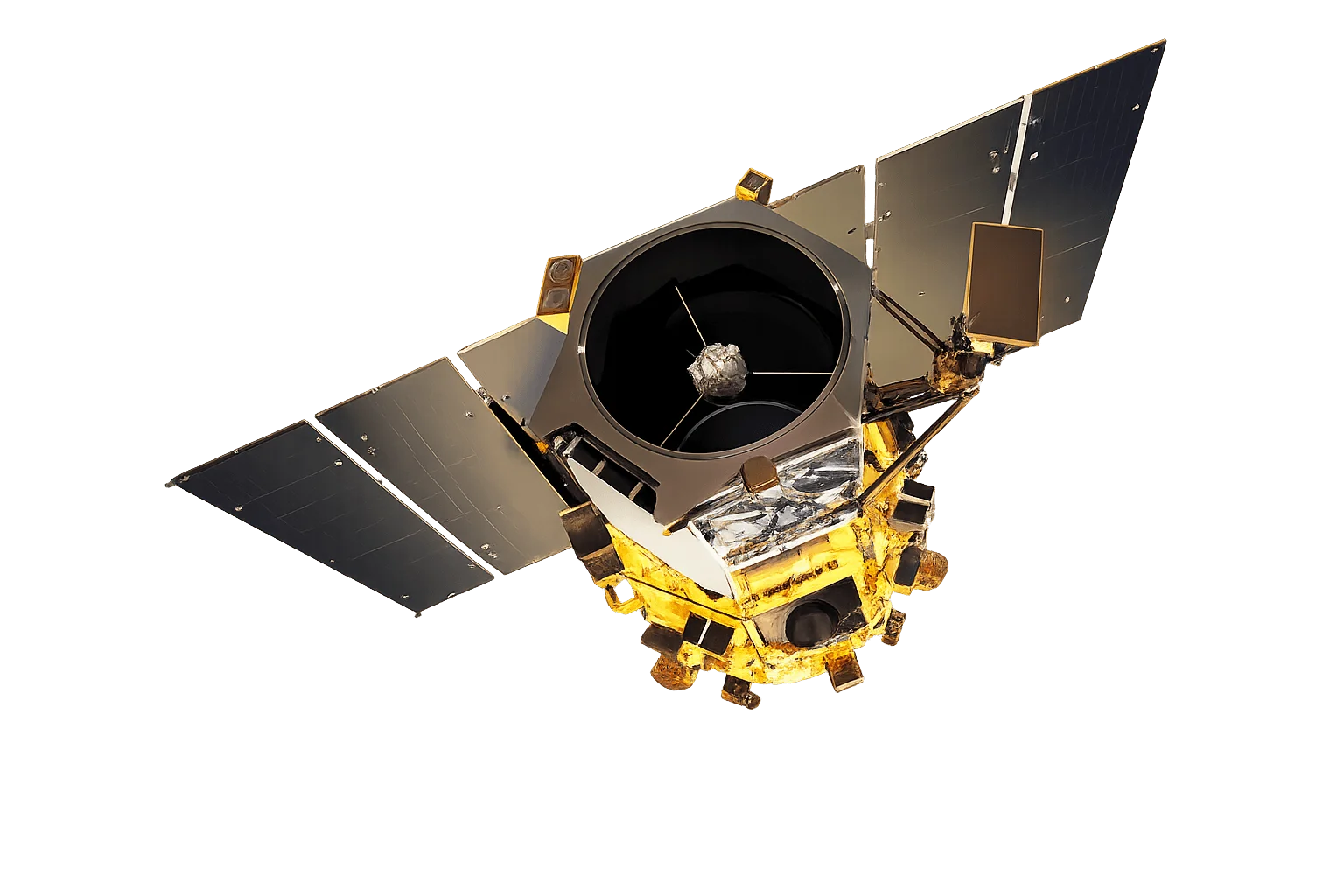
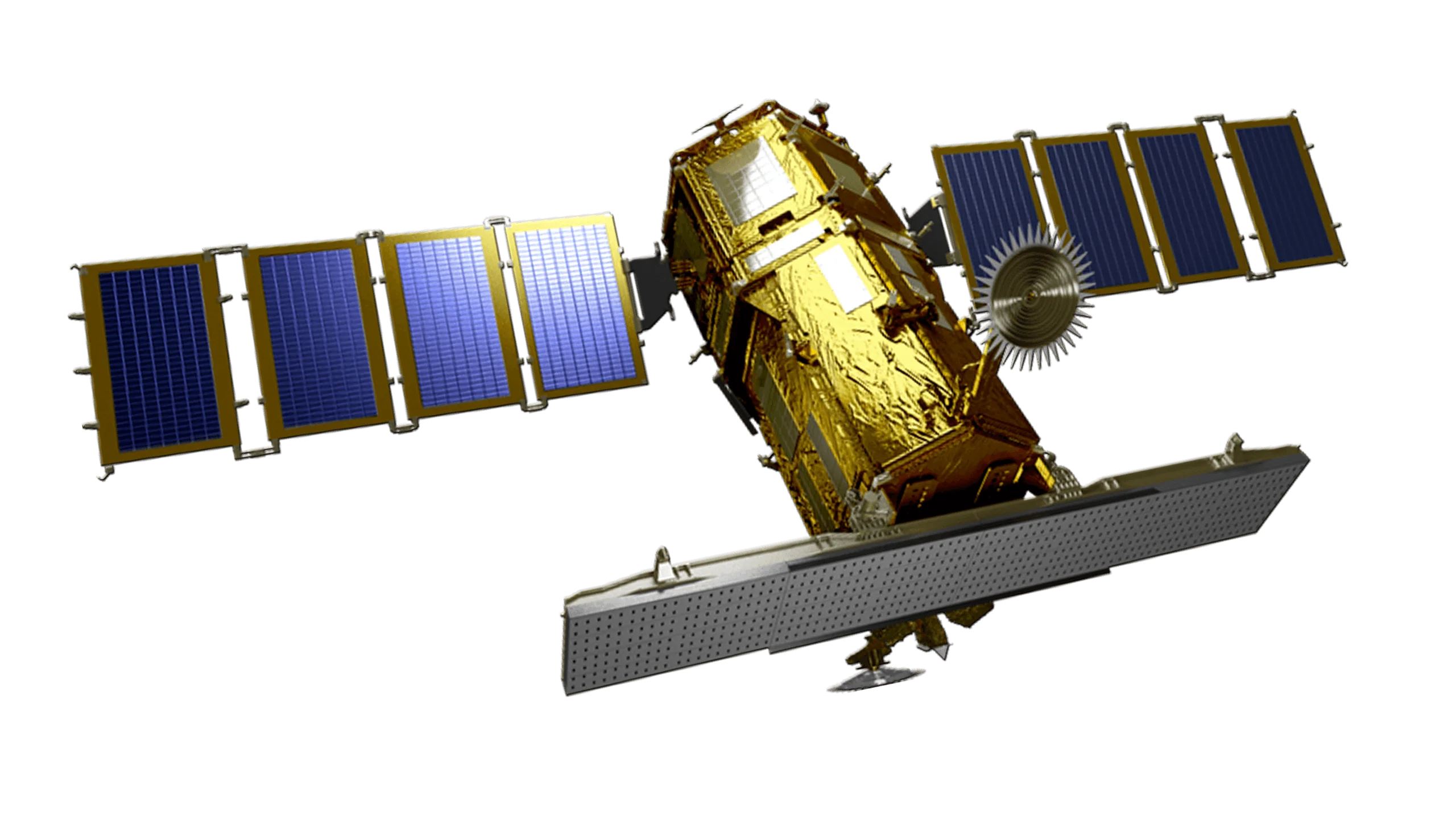
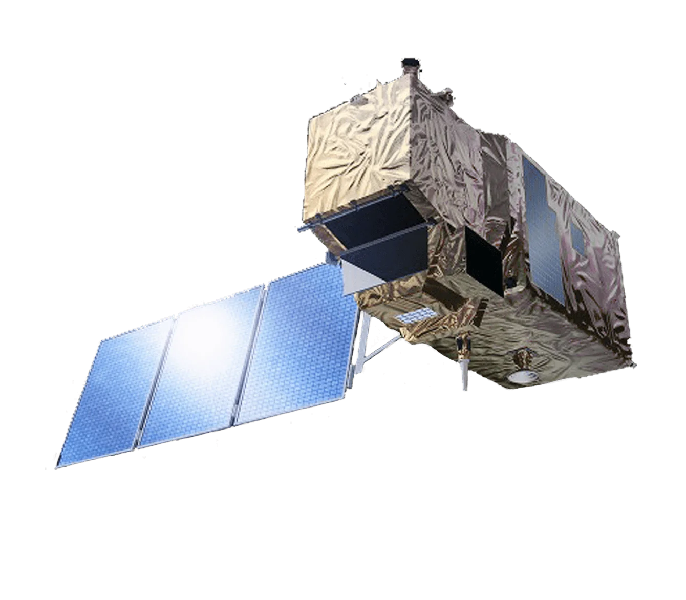
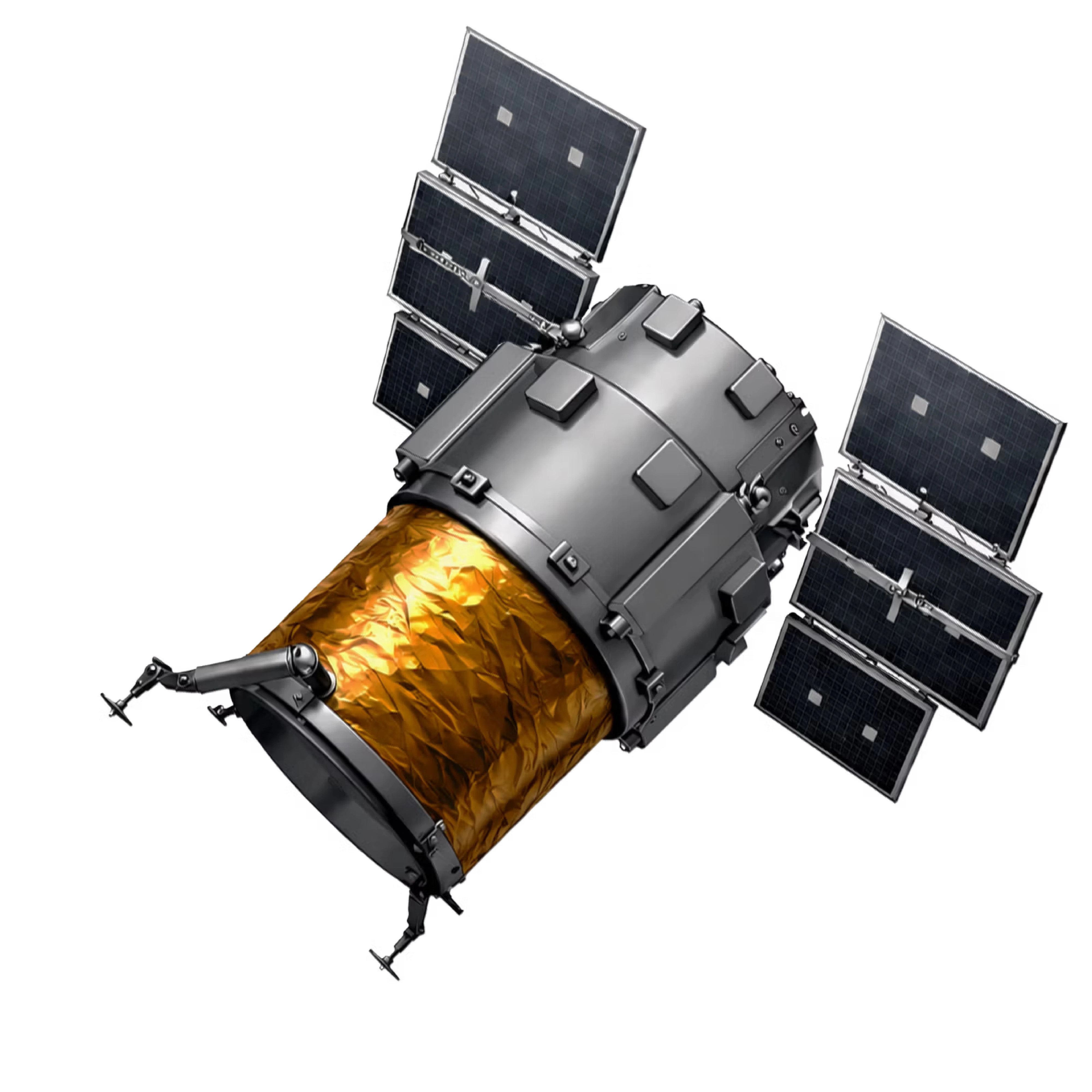
The world first commercial satellite with SWIR capabilities, delivering up to 31 cm resolution imagery with 16 spectral bands for advanced material analysis.
Resolution
31cm
Bands
16
Six-satellite constellation delivering industry-leading revisit rates with 30 cm class imagery for rapid change detection and time-sensitive applications.
Resolution
34cm
Bands
8
Next-generation BlackSky constellation delivering 35cm resolution with SWIR capability, targeting 30 satellites for unprecedented revisit frequency.
Resolution
35cm
Bands
4
Advanced Korean imaging satellite with 40cm resolution and infrared capability for day and night Earth observation.
Resolution
40cm
Bands
5
High-agility commercial imaging satellite delivering 41cm resolution with exceptional pointing accuracy for precise geolocation.
Resolution
41cm
Bands
4
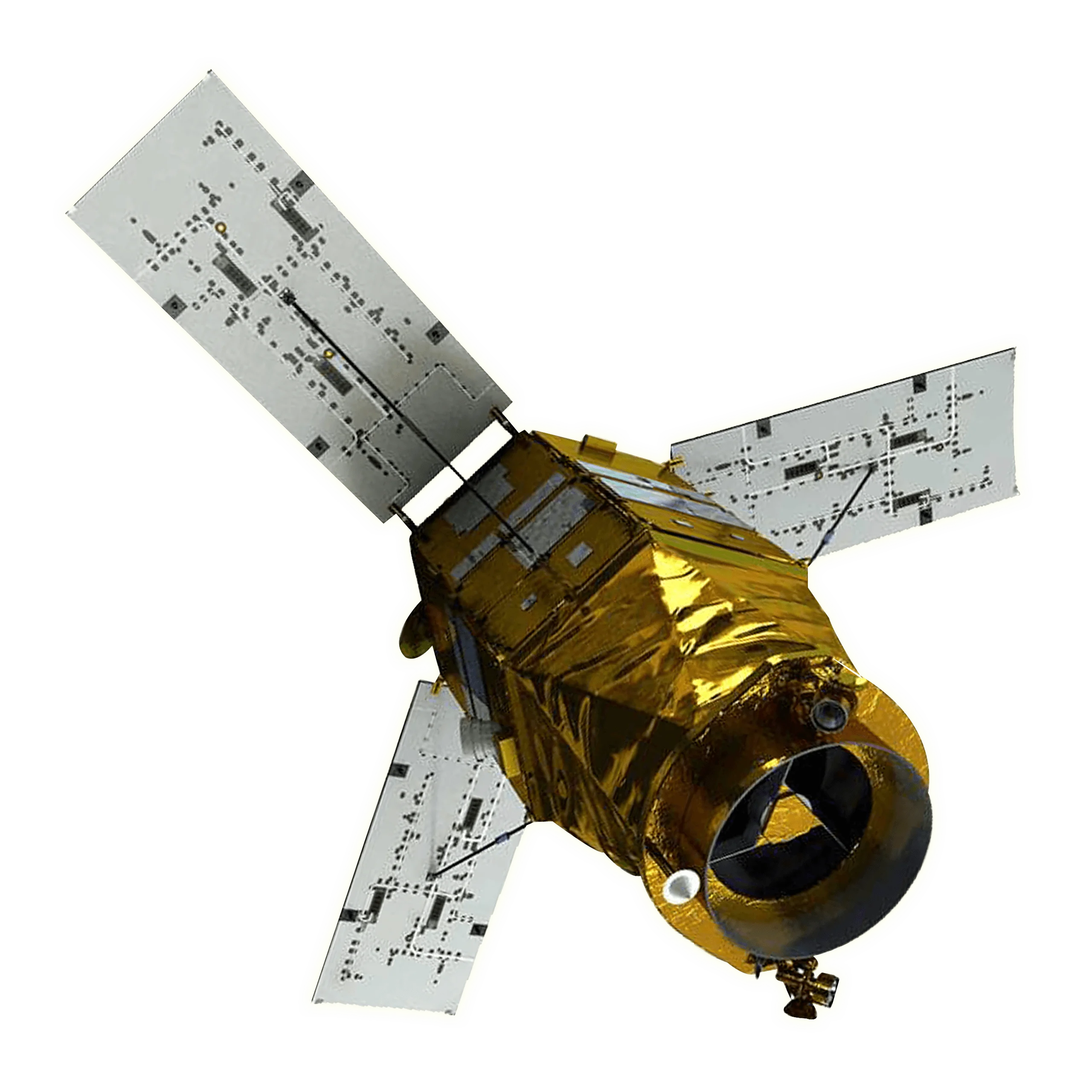
First commercial satellite with 8-band multispectral capability, delivering consistent high-resolution imagery since 2009.
Resolution
46cm
Bands
8
High-resolution Korean imaging satellite delivering 50cm imagery for detailed mapping, urban monitoring, and environmental applications.
Resolution
50cm
Bands
4
High-resolution panchromatic imaging satellite optimized for mapping and stereo collection with exceptional geometric accuracy.
Resolution
50cm
Bands
1
High-revisit constellation of 12 satellites delivering 80cm resolution imagery with multiple daily passes for real-time monitoring and change detection.
Resolution
80cm
Bands
3
Korean X-band Synthetic Aperture Radar (SAR) satellite providing all-weather, day-night imaging with up to 1-meter resolution for maritime and land monitoring.
Resolution
85cm
Bands
1

ESA C-band Synthetic Aperture Radar (SAR) mission providing all-weather, day-night imaging for land and ocean monitoring under the Copernicus programme.
Resolution
5m
Bands
1
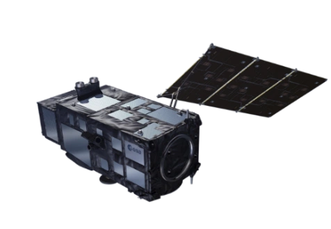
Wyvern operational hyperspectral constellation delivering 31-band VNIR imagery at 5.3m resolution for precision agriculture, forestry, and environmental monitoring.
Resolution
5.3m
Bands
31
First-generation Wyvern hyperspectral satellite delivering 23-band VNIR imagery at 5.3m resolution for precision agriculture and environmental monitoring.
Resolution
5.3m
Bands
23
ESA high-resolution multispectral mission providing 13-band imagery at 10-60m resolution for land monitoring under the Copernicus programme.
Resolution
10m
Bands
13
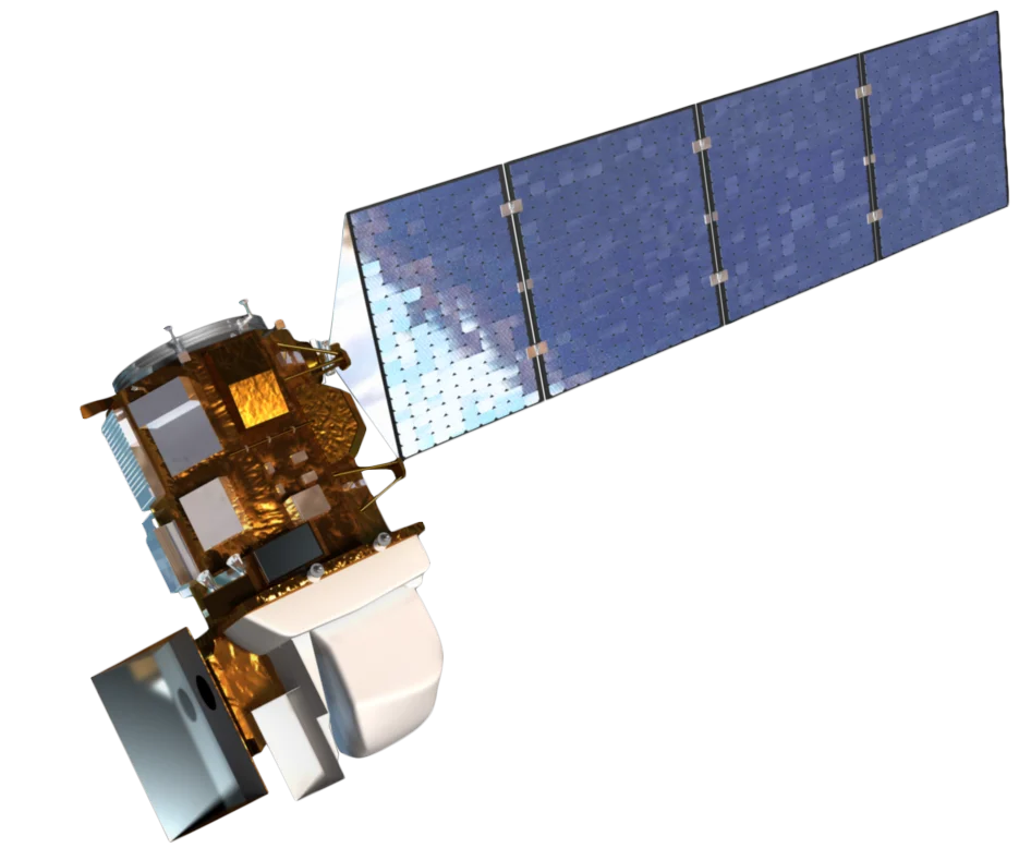
NASA/USGS flagship Earth observation satellite providing 11-band imagery including thermal bands for comprehensive land and water monitoring.
Resolution
15m
Bands
11
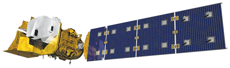
Latest NASA/USGS Landsat mission continuing 50+ years of Earth observation with improved radiometric performance and 8-day combined revisit with Landsat-8.
Resolution
15m
Bands
11
ESA ocean and land monitoring mission whose OLCI imager delivers 21-band optical coverage at 300 m, supporting near-daily global observation of sea and land surfaces under the Copernicus programme.
Resolution
300m
Bands
21
ESA Copernicus atmospheric composition mission carrying the TROPOMI spectrometer to map air quality and trace gases such as NO2, O3, SO2, CO, CH4 and HCHO. It delivers daily global coverage rather than optical surface imagery.
Resolution
5500m
Bands
7
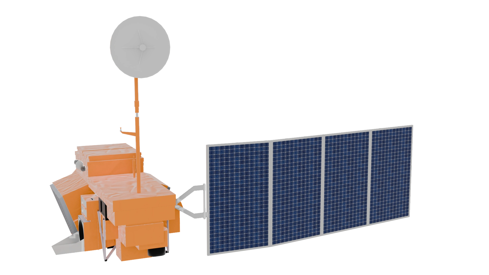
 Planned
Vantage is a planned class of 20 cm-class electro-optical satellites from Vantor, billed as the first 20 cm-class satellites on orbit and delivering industry-leading geolocation accuracy, with first launches planned as early as 2029.
Resolution
20cm
Bands
8
 Planned
Pulse is a planned proliferated fleet of high-revisit satellites delivering 40 cm-class imagery of any location as frequently as every 15 minutes, with the first satellites planned to launch as early as 2027.
Resolution
40cm
Bands
8
 Decommissioned
Former high-resolution commercial satellite decommissioned in 2019. Archive imagery remains available for historical analysis.
Resolution
31cm
Bands
4
 Decommissioned
Pioneering commercial high-resolution satellite that operated from 2001 to 2015. Extensive archive available for historical analysis.
Resolution
61cm
Bands
4
 Decommissioned
The first sub-meter commercial imaging satellite, operational from 1999 to 2015. Now decommissioned, with its global archive still available for historical analysis.
Resolution
80cm
Bands
4
 Decommissioned
Long-serving Korean Earth observation satellite delivering 1-meter resolution imagery since 2006 for mapping and environmental monitoring.
Resolution
1m
Bands
4
DecommissionedLong-serving NASA/USGS Earth observation satellite providing continuous medium-resolution imagery since 1999 for land change monitoring.
Resolution
15m
Bands
7
 Decommissioned
Holder of the Guinness World Record for the longest-operating Earth observation satellite, Landsat 5 carried the Thematic Mapper and Multispectral Scanner instruments for nearly three decades. Its multi-decade archive remains freely available through the USGS.
Resolution
30m
Bands
7