Loading...
Whether you're monitoring infrastructure, tracking environmental change, or assessing remote assets - understanding the earth is key. At Terrabit, we deliver high quality satellite imagery and analysis-ready geospatial products, and we work with you to shape the right remote sensing solution for the decisions you need to make.
What we offer
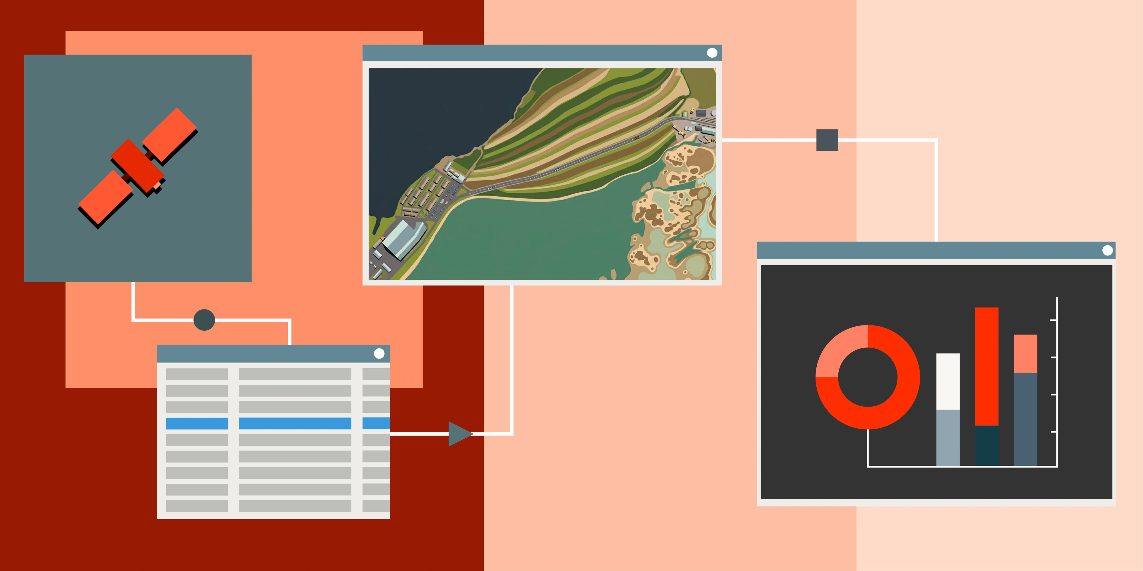
Satellite data, elevation models and analytics. Three product layers connected by one workflow, so teams can move from raw imagery to confident decisions without juggling vendors or stitching tools together.
The Albatross platform
From tasking to analytics, Albatross ties every step of the workflow together.
Data Acquisition
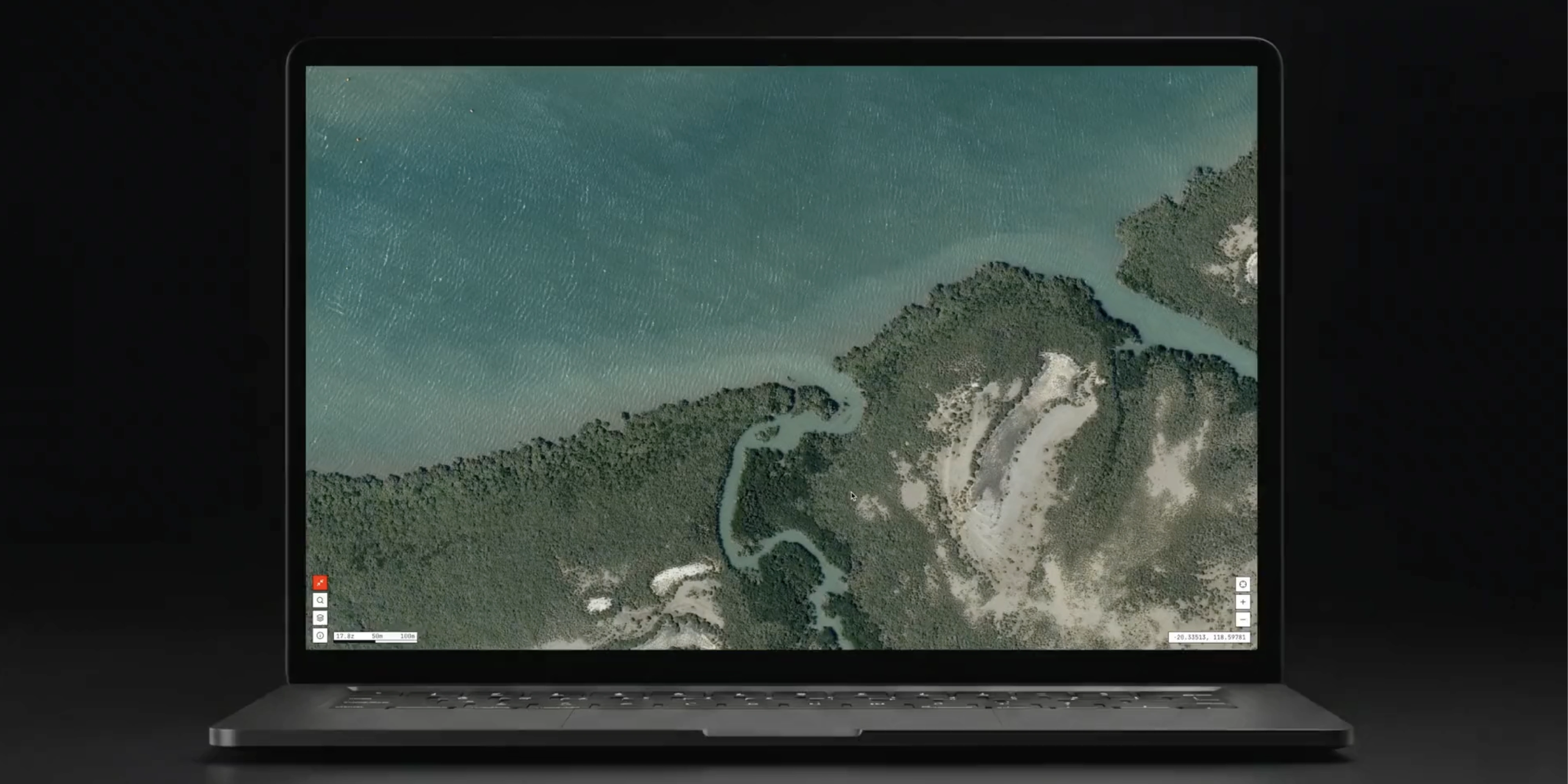
Order imagery across a wide range of satellite sources through one agnostic interface.
Data Processing
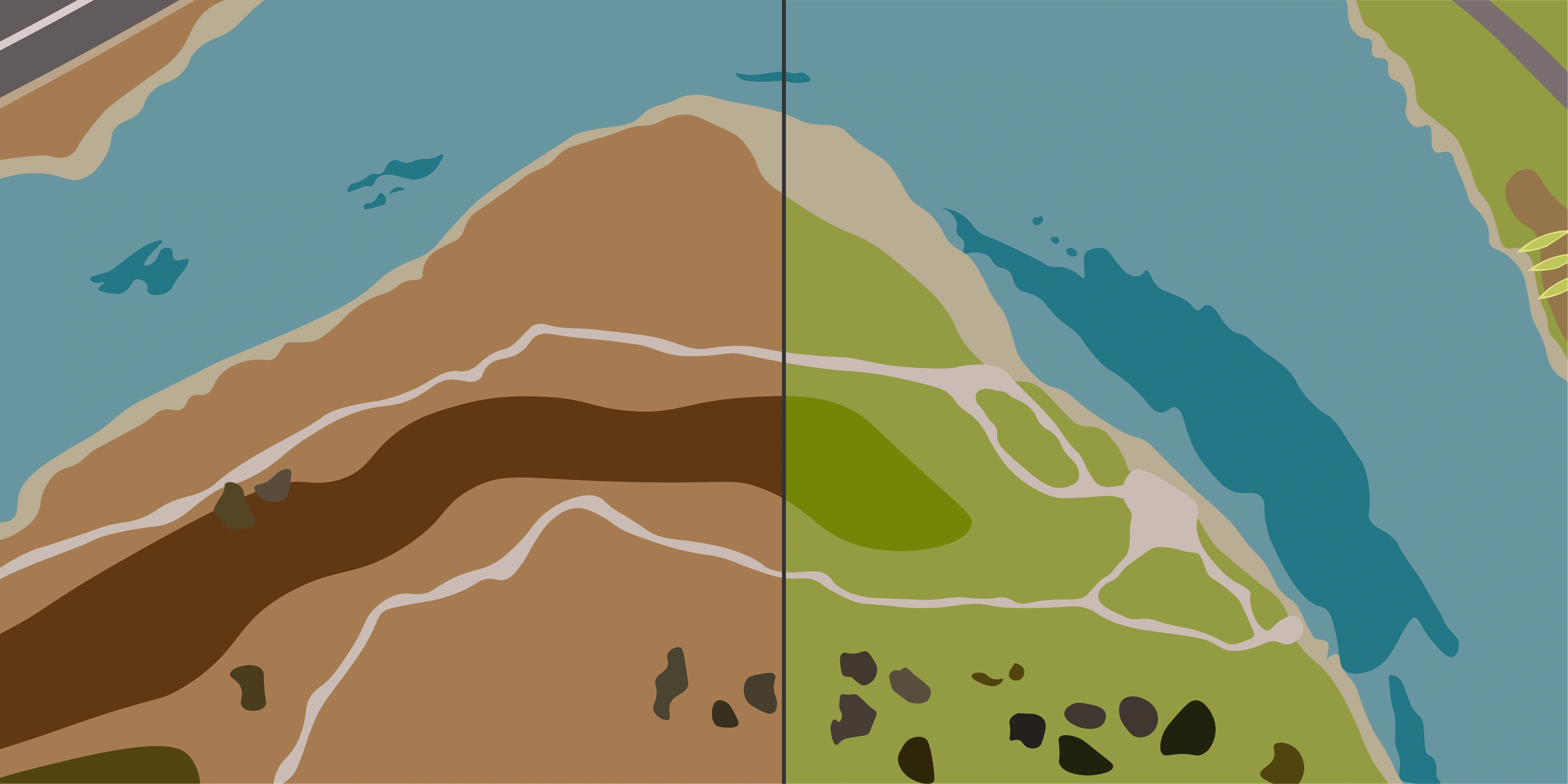
Standardised, analysis-ready outputs that slot straight into your pipelines.
Data Catalog
A living archive where every product is stored and queryable by location and time.
Analytics
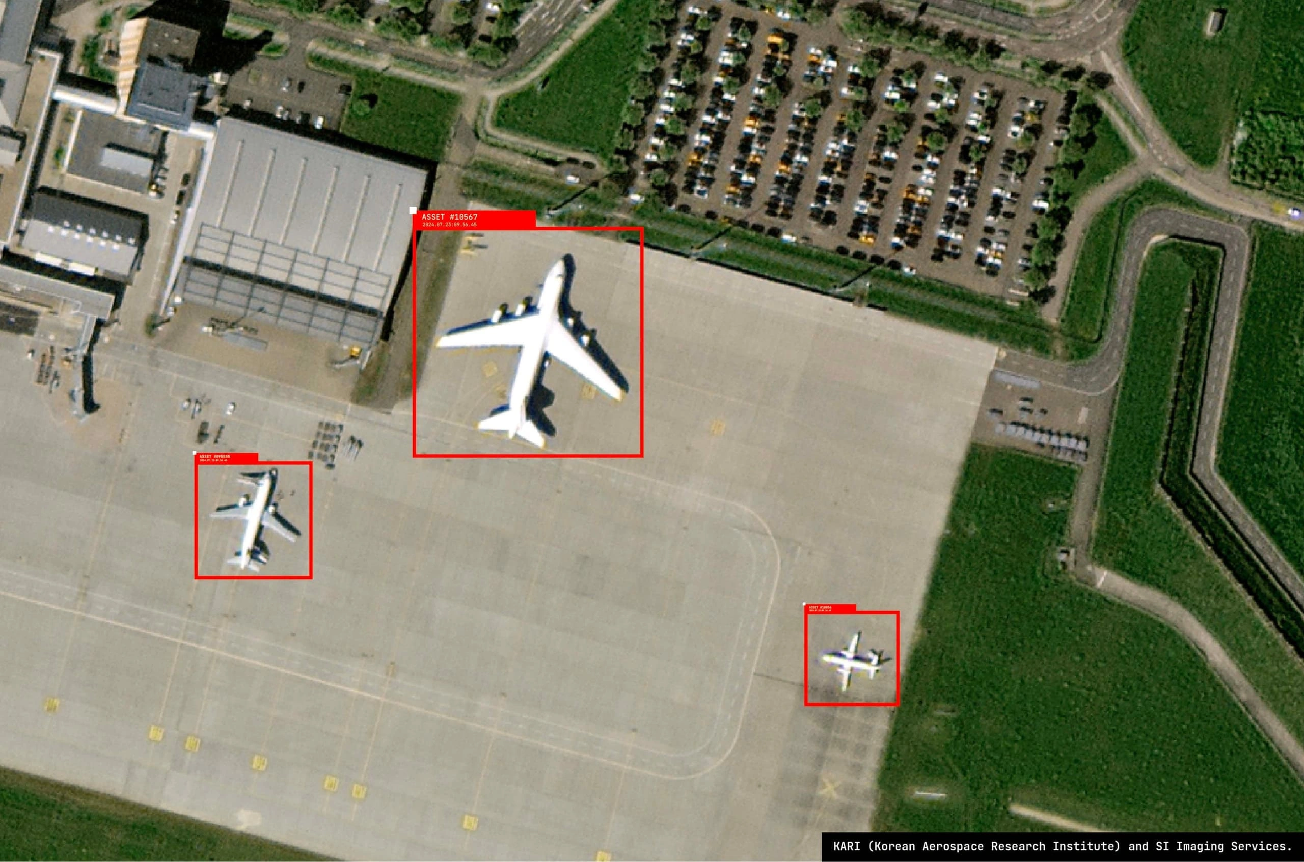
ML-assisted digitisation, change detection and prediction built on top of the catalog.
Stage 01
Data Acquisition
Stage 03
Stage 02
Stage 04
Platform
Albatross
What we solve
From remote monitoring to rapid response, we help teams across every industry turn satellite data into decisions they can act on. Tell us what you're working on and we'll show you how we can help.


From tasking satellites to delivering analysis-ready data, we build every step so your team gets powerful earth observation that is genuinely easy to use.
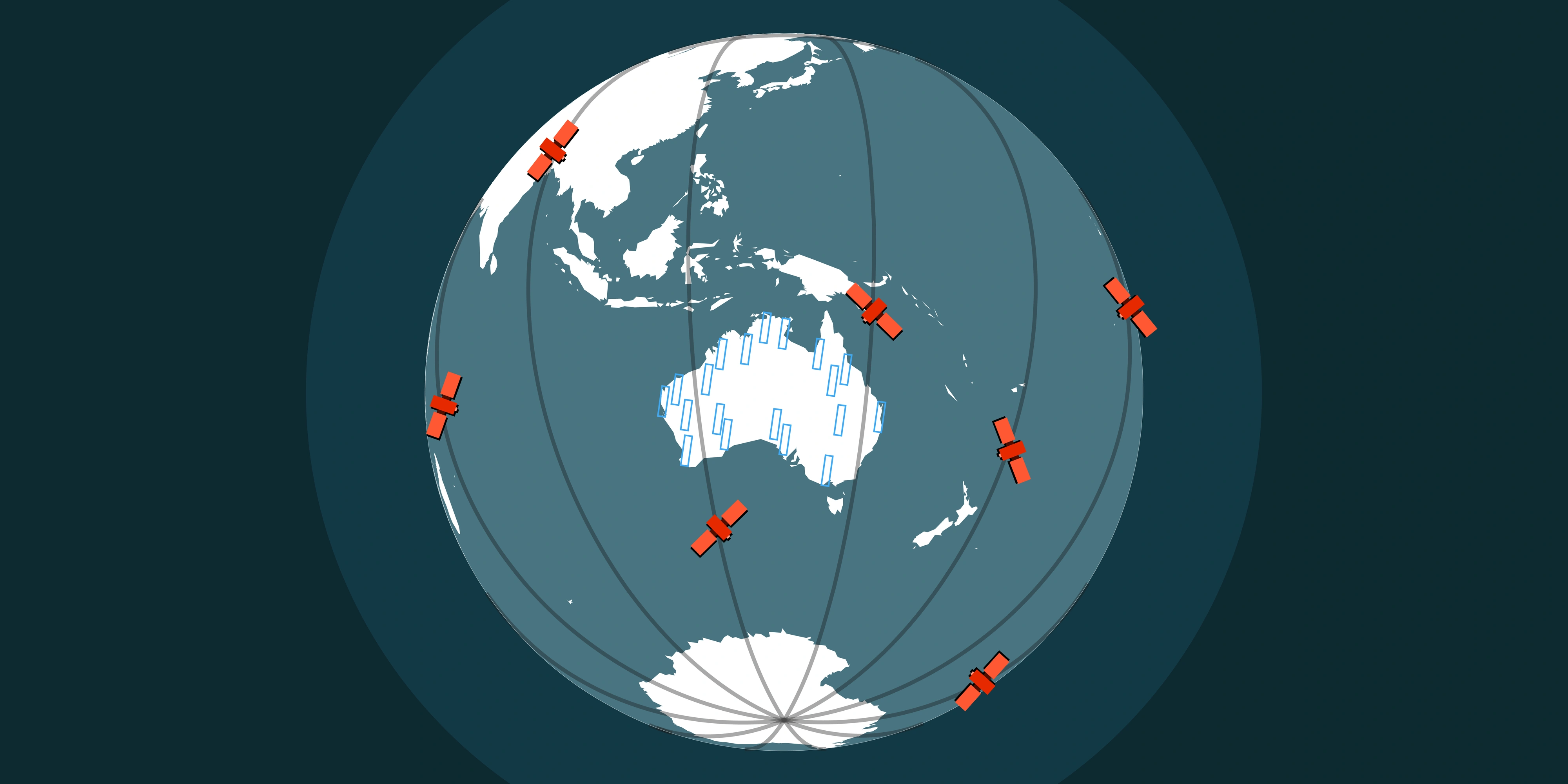
Terrabit is an Australian company working with a satellite network that captures imagery anywhere on Earth. Imagery collected across the globe is processed, analysed and delivered from right here in Australia.
Access a comprehensive satellite network tailored to your project requirements through our unified platform.