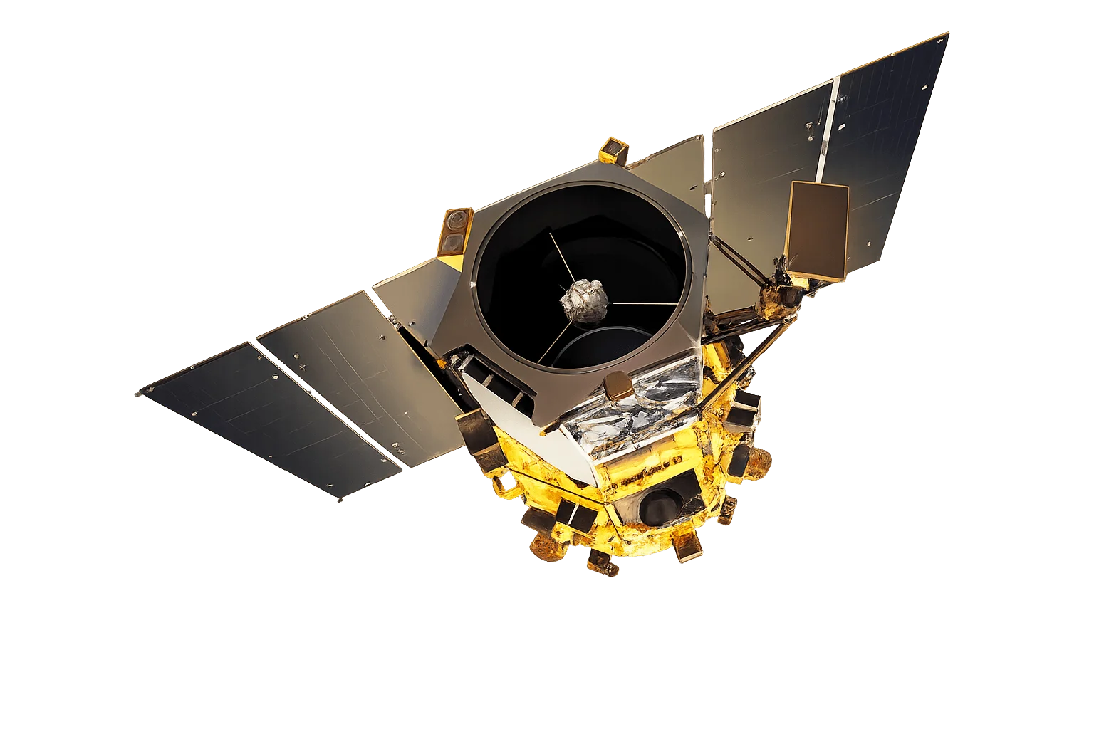
Overview
WorldView-2 was the first commercial satellite to offer 8-band multispectral imaging, revolutionizing Earth observation capabilities when it launched in 2009. Part of the Vantor constellation, its innovative sensor design introduced four new spectral bands-coastal, yellow, red edge, and NIR-2-that have since become standard for advanced remote sensing applications.
8-Band Multispectral Pioneer
The additional bands enable capabilities not possible with traditional 4-band sensors:
- Coastal band - Bathymetric mapping and coastal zone analysis
- Yellow band - Improved vegetation discrimination and senescence detection
- Red Edge band - Plant health and chlorophyll content analysis
- NIR-2 band - Atmospheric correction and improved vegetation indices
Extensive Archive
With over 15 years of consistent operations, WorldView-2 has built one of the most comprehensive commercial satellite imagery archives. This extensive historical record is invaluable for long-term change detection and trend analysis.
Applications
WorldView-2's balanced combination of resolution and spectral capability makes it ideal for:
- Agriculture - Crop type classification and health monitoring
- Forestry - Species mapping and biomass estimation
- Coastal management - Shallow water bathymetry and habitat mapping
- Urban planning - Land use classification and infrastructure mapping