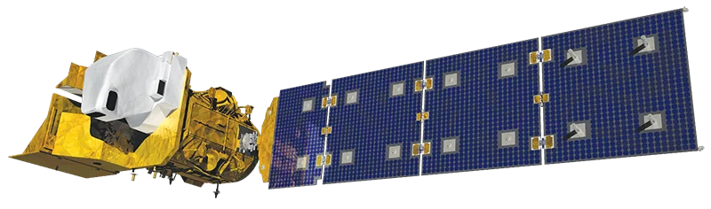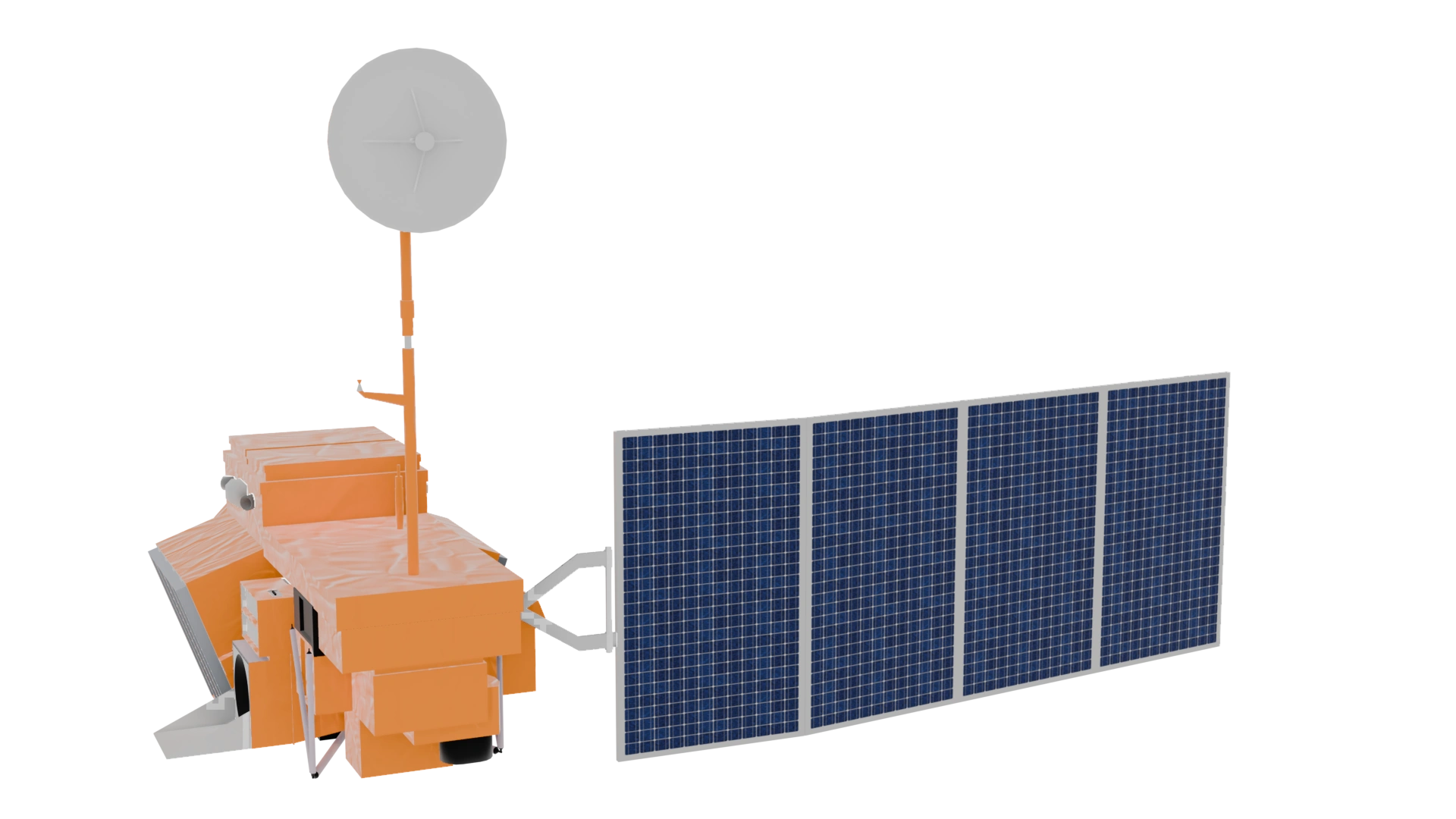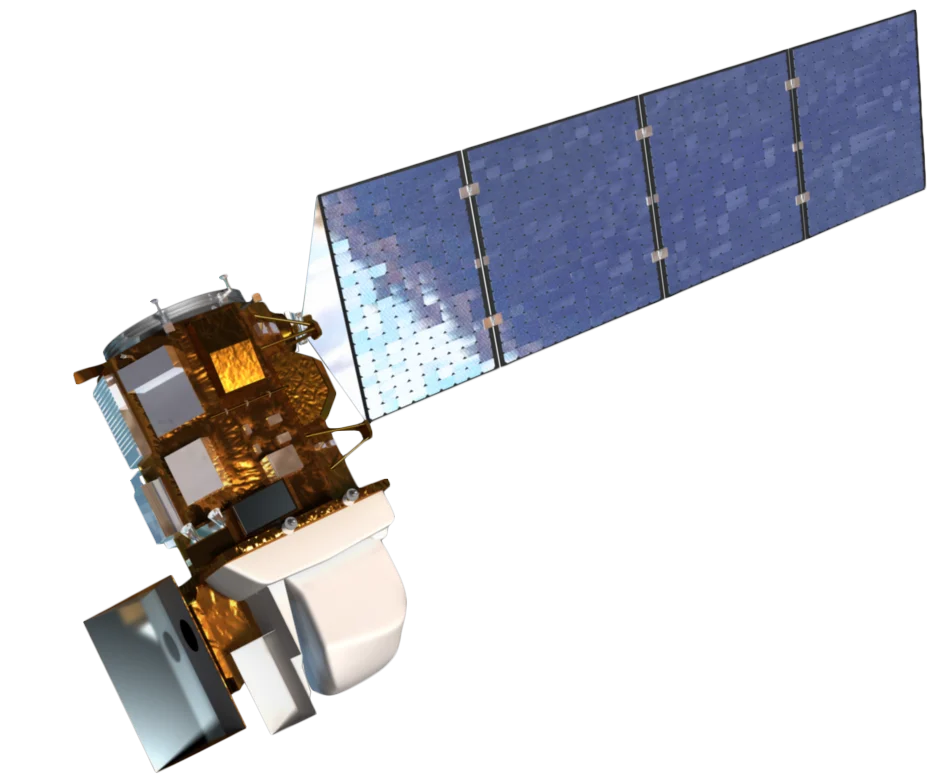
Overview
Landsat 8 is a joint NASA/USGS mission launched in 2013, continuing the Landsat program's 50+ year legacy of Earth observation. It carries two instruments-the Operational Land Imager (OLI) and the Thermal Infrared Sensor (TIRS)-providing comprehensive spectral coverage.
Enhanced Capabilities
Landsat 8 introduced significant improvements over previous Landsat missions:
- 12-bit radiometric resolution - Improved dynamic range (vs. 8-bit on Landsat 7)
- Coastal aerosol band - Enhanced atmospheric correction and coastal studies
- Cirrus band - Cloud detection and atmospheric monitoring
- Dual thermal bands - Improved surface temperature accuracy
Thermal Imaging
The Thermal Infrared Sensor (TIRS) provides two thermal bands for:
- Surface temperature - Land and water temperature mapping
- Evapotranspiration - Water use and drought monitoring
- Urban heat islands - City temperature analysis
- Volcanic monitoring - Thermal anomaly detection
Landsat Continuity
Landsat 8 ensures continuity with the historic Landsat archive:
- Cross-calibrated with Landsat 7 and 9
- Consistent data products for time series analysis
- 8-day combined revisit when paired with Landsat 9
Applications
Landsat 8 data supports diverse applications:
- Agriculture - Crop health, irrigation monitoring, yield estimation
- Forestry - Forest inventory, fire mapping, deforestation
- Water resources - Lake extent, water quality, snow cover
- Urban - Urban growth, heat islands, impervious surfaces
- Climate - Land surface temperature, vegetation phenology
Open Data Policy
All Landsat 8 data is freely available through USGS Earth Explorer, supporting global research, commercial applications, and operational services.