Loading...

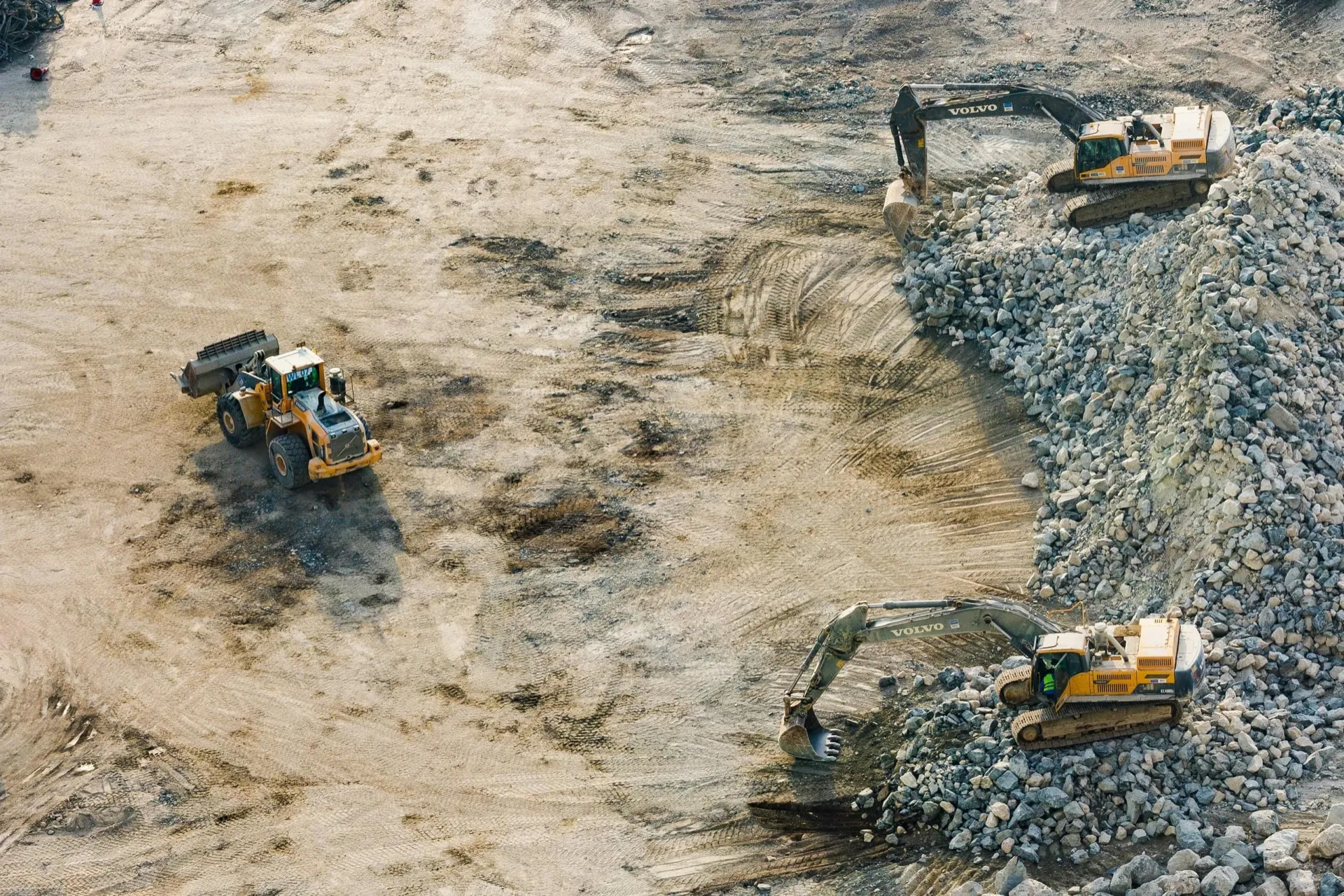
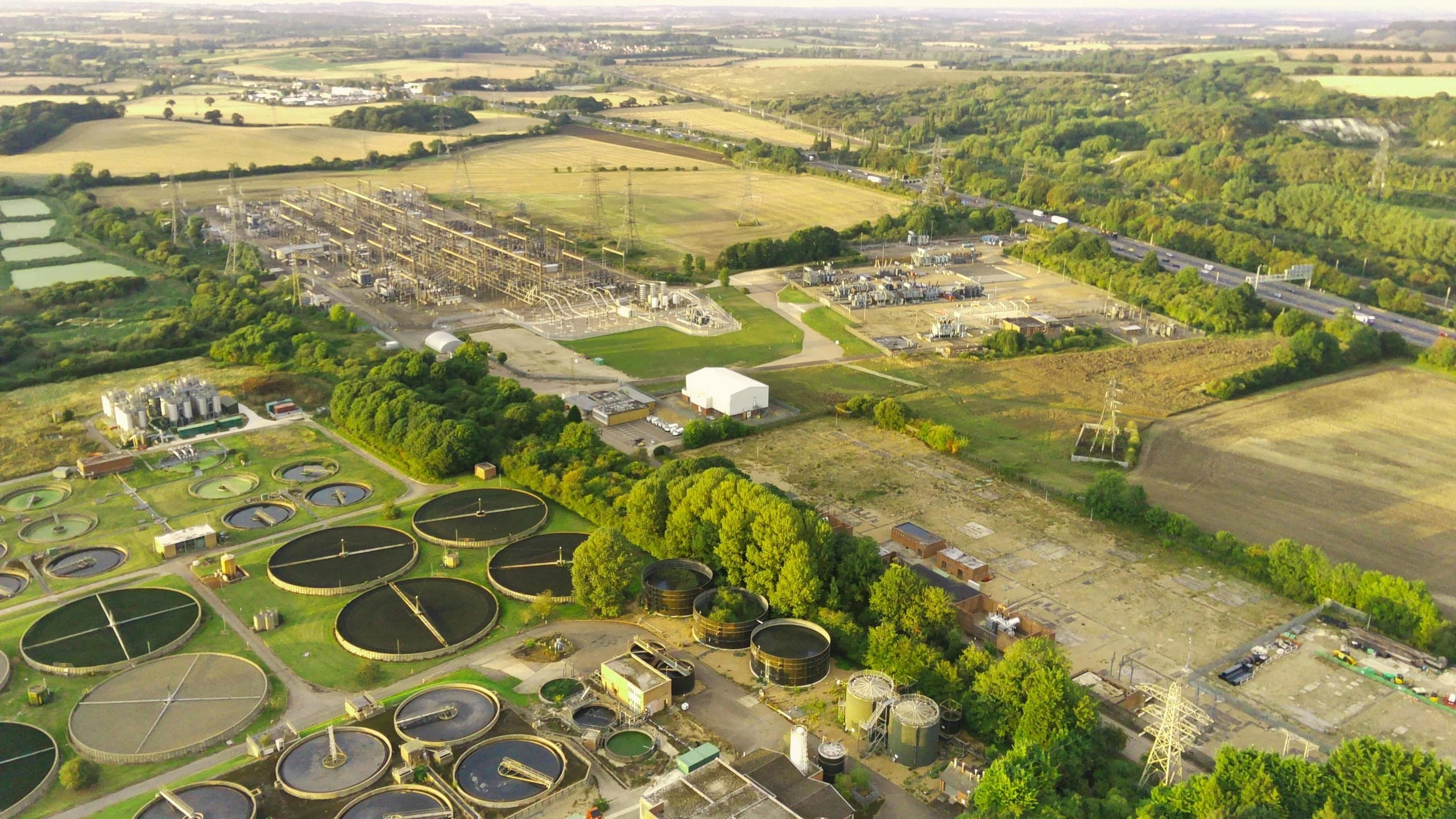
We use the power of geospatial data to unlock actionable intelligence for mining, energy and government.
We simplify access to geospatial data and actionable intelligence - enabling organisations to monitor project progress, fulfil rapid ad-hoc requests and delivering geospatial data they can rely on.
Discover moreTo make geospatial data a simple, accessible asset every operation can depend on. Combining decades of industry experience with deep technical expertise, we deliver high-quality data our clients can build on - paired with personalised service shaped around the specific needs, workflows and outcomes each one cares about most.
To become the end-to-end geospatial backbone our clients rely on - building integrated tools, automated workflows and dependable data pipelines that fold geospatial intelligence into existing operations. As sensors, satellites and analytic capabilities advance, our clients evolve with them - without ever having to manage the underlying complexity themselves.
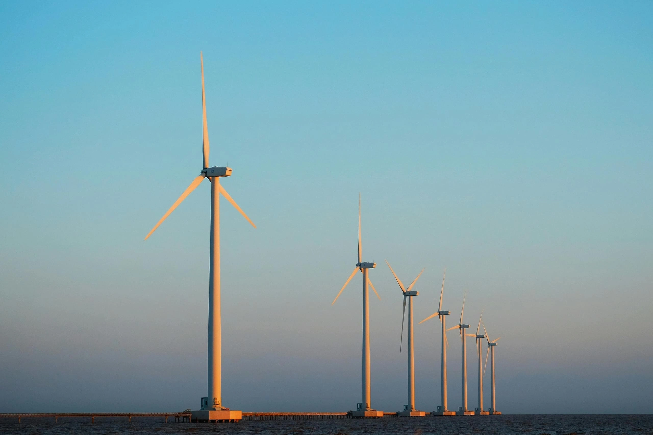
Our work goes beyond individual projects. We provide the tools and data organisations need to make smarter, faster decisions - protecting assets, optimising operations and supporting sustainable growth across key industries
High-resolution, analysis-ready data, locally processed in Australia with rigorous quality assurance. The dataset behind every decision is something you can trust and build operations on - never a question mark.
Decades of hands-on experience across mining, energy, government and environmental work, translated into practical guidance. We are not just a data provider - we help our clients ask better questions of their imagery and get more out of every dataset.

Personalised service from a dedicated account and technical manager, with workflows shaped to fit each client’s stack, scale and outcomes. We adapt to how you work - not the other way around.
Industry-leading turnaround from tasking through to delivery. Whether it is a planned program or a rapid ad-hoc request, we get analysis-ready data into our clients’ hands quickly - so they can act on insights, not wait for them.
Continuous investment in our portal, automation, sensor coverage and data pipelines - so our clients are never left behind as the industry advances. We build for tomorrow while delivering on today.

Real-world impact. Cutting-edge geospatial work. The chance to shape how companies uses Earth observation data. If that sounds like you, we would love to hear from you.