Vantor (formerly Maxar)

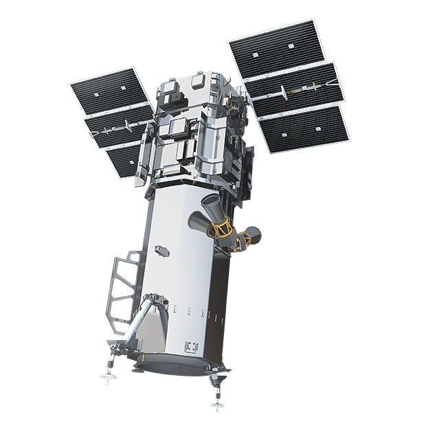
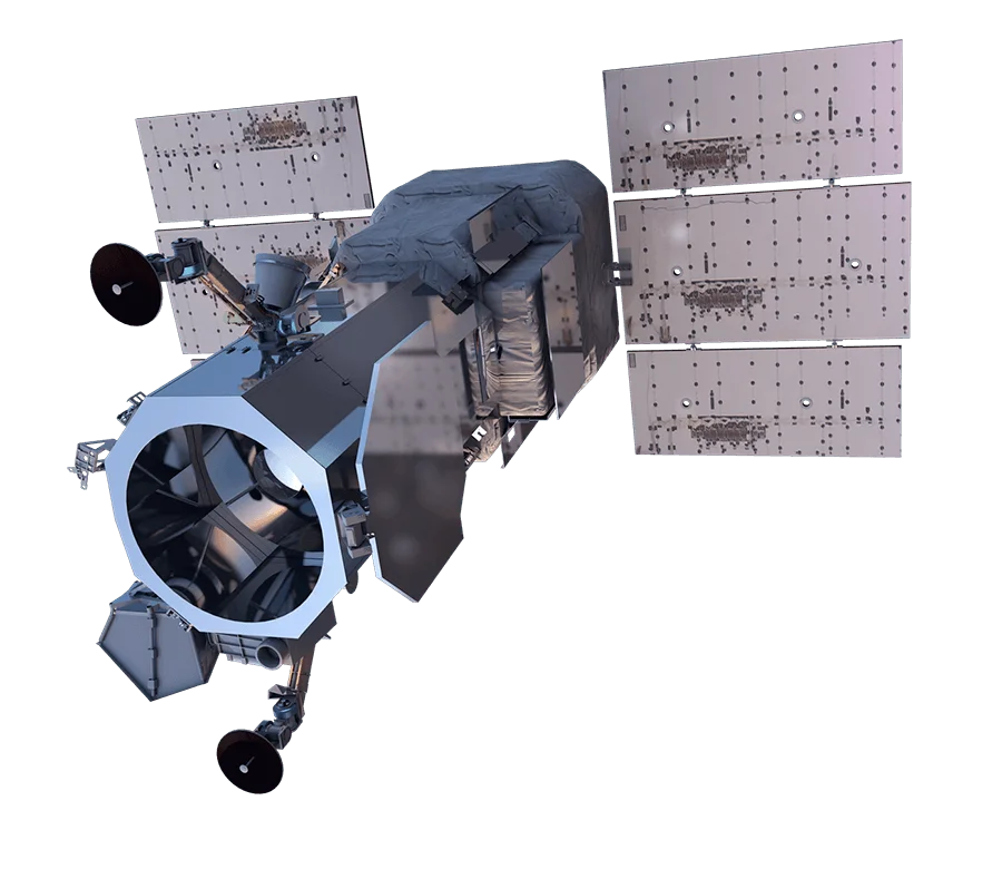
The world first commercial satellite with SWIR capabilities, delivering up to 31 cm resolution imagery with 16 spectral bands for advanced material analysis.

Resolution
31 cm panchromatic, 1.24 m multispectral, 3.7 m SWIR
Bands
16
Revisit Rate
4-5 overpasses per week
WorldView-3

Satellite specifications

Data Availability

Both archive imagery and new tasking are available for this constellation.

Archive: Available
Tasking: Available

Bands

Panchromatic450 to 800 nm
Coastal397 to 454 nm
Blue445 to 517 nm
Green507 to 586 nm
Yellow580 to 629 nm
Red626 to 696 nm
Red Edge698 to 749 nm
NIR-1765 to 899 nm
NIR-2857 to 1039 nm
SWIR-11184 to 1235 nm
SWIR-21546 to 1598 nm
SWIR-31636 to 1686 nm
SWIR-41702 to 1759 nm
SWIR-52137 to 2191 nm
SWIR-62174 to 2232 nm
SWIR-72228 to 2292 nm
SWIR-82285 to 2373 nm

Track satellites live

View real-time orbital positions

Satellites in Constellation1
Ground Sample Distance31 cm panchromatic, 1.24 m multispectral, 3.7 m SWIR
Bands16
Revisit Rate4-5 overpasses per week
Orbital Altitude617 km
Orbit TypeSun-synchronous orbit
Inclination98°
Equatorial Crossing Time10:30 AM local time (approximate)
Sensor Resolution31 cm panchromatic, 1.24 m multispectral, and 3.7 m SWIR at nadir
Dynamic Range11-bit
Swath Width13.1 km at nadir
Retargeting Ability12 seconds to slew 200 km
Single Pass Collection Size7,280 sqkm - 5 swaths
Daily CapacityUp to 680,000 sqkm
Geolocation Accuracy3.5 m CE90; less than 60 cm CE90 with control
Launch DateAugust 13, 2014, 18:30 UTC
Launch SiteSpace Launch Complex-4E, Vandenberg Space Force Base, California, USA
Launch VehicleAtlas V 401
Mission LifeAt least 10 years

Overview

WorldView-3 is a groundbreaking commercial satellite that introduced short-wave infrared (SWIR) imaging capabilities to the commercial market. Launched in 2014, it remains one of the most capable Earth observation satellites in orbit, combining super-spectral imaging with industry-leading resolution.

SWIR Capabilities

The eight SWIR bands enable unique applications not possible with traditional visible and near-infrared sensors:

  • Mineral identification - Distinguish between different rock types and mineral compositions
  • Vegetation health - Detect plant stress before visible symptoms appear
  • Moisture mapping - Identify water content in soil and vegetation
  • Material classification - Differentiate between natural and man-made surfaces

Multispectral Excellence

Beyond SWIR, WorldView-3's eight multispectral bands provide comprehensive spectral coverage for:

  • Coastal and bathymetric analysis
  • Vegetation indices and crop monitoring
  • Land cover classification
  • Change detection

Applications

WorldView-3's unique spectral capabilities make it essential for:

  • Mining and exploration - Mineral mapping and resource assessment
  • Agriculture - Advanced crop analysis and yield prediction
  • Environmental monitoring - Ecosystem health and change detection
  • Defense and intelligence - Material identification and site characterization
Order Imagery

Interested in imagery from this constellation? Contact our team to discuss your requirements.