Overview
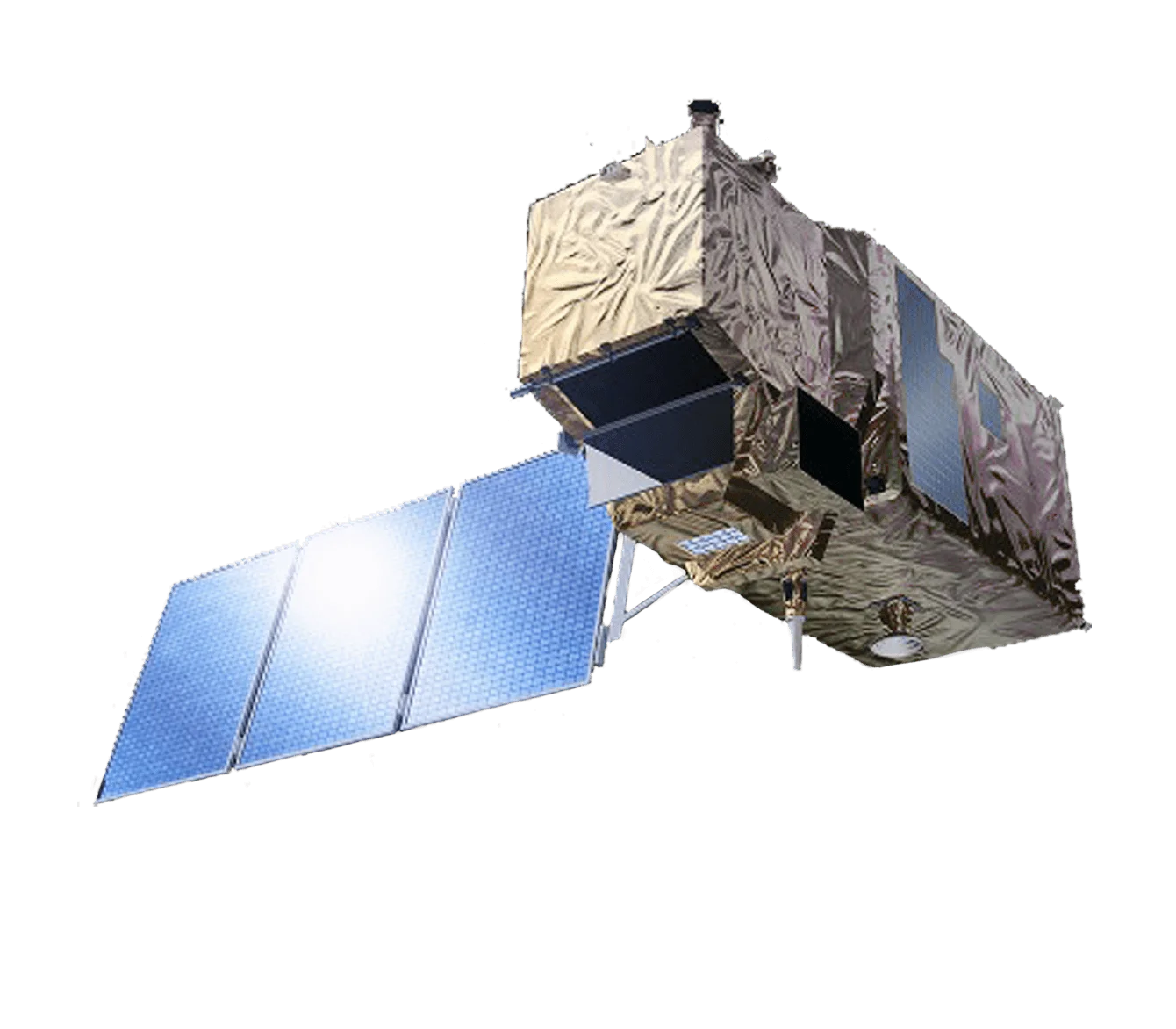
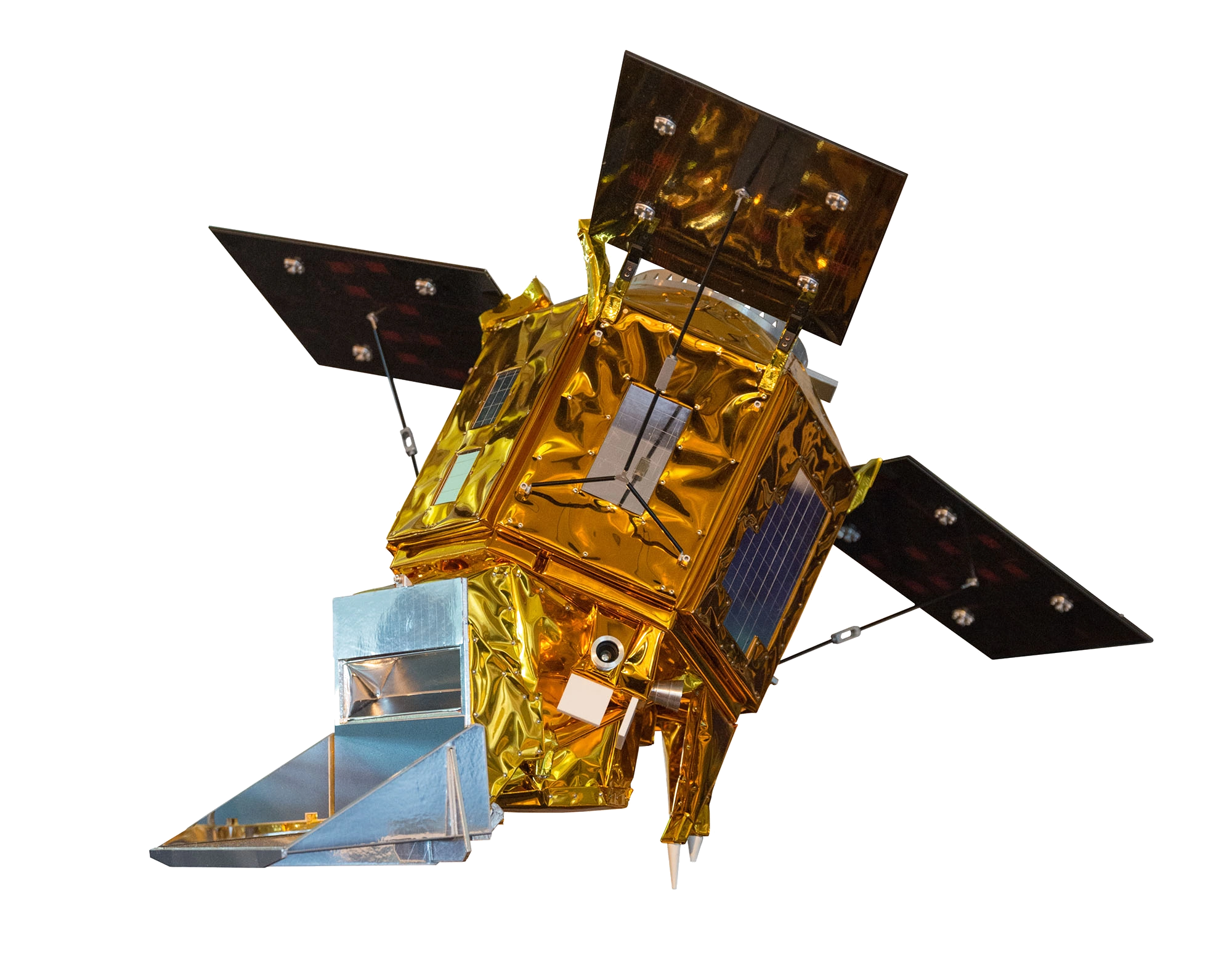
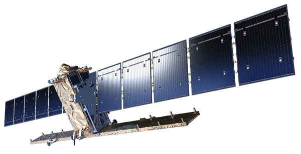
Sentinel-1 is the European Space Agency's C-band Synthetic Aperture Radar (SAR) mission, developed as part of the Copernicus programme. It provides all-weather, day-and-night radar imaging capability for land and ocean monitoring applications.
SAR Capabilities
As a radar imaging mission, Sentinel-1 offers unique advantages:
- All-weather imaging - Penetrates clouds and operates in any atmospheric conditions
- Day and night operation - Active radar illumination enables 24/7 collection
- Surface deformation - Interferometric capability for subsidence and uplift monitoring
- Polarimetric analysis - Multiple polarisation modes for surface characterisation
Imaging Modes
Sentinel-1 provides four distinct imaging modes:
- Stripmap (SM) - 5m resolution, 80km swath for detailed regional mapping
- Interferometric Wide Swath (IW) - Primary mode over land, 5x20m resolution, 250km swath
- Extra Wide Swath (EW) - 20x40m resolution, 400km swath for maritime and ice monitoring
- Wave Mode - Ocean wave spectra measurement
Applications
Sentinel-1 data supports critical applications:
- Maritime surveillance - Ship detection, oil spill monitoring, sea ice mapping
- Land monitoring - Deforestation, agriculture, urban change detection
- Emergency response - Flood mapping, earthquake damage assessment
- Infrastructure - Ground subsidence monitoring, pipeline surveillance
- Glaciology - Ice sheet dynamics and glacier flow
Open Data Policy
Sentinel-1 data is freely available through the Copernicus Open Access Hub, supporting scientific research and operational services worldwide.