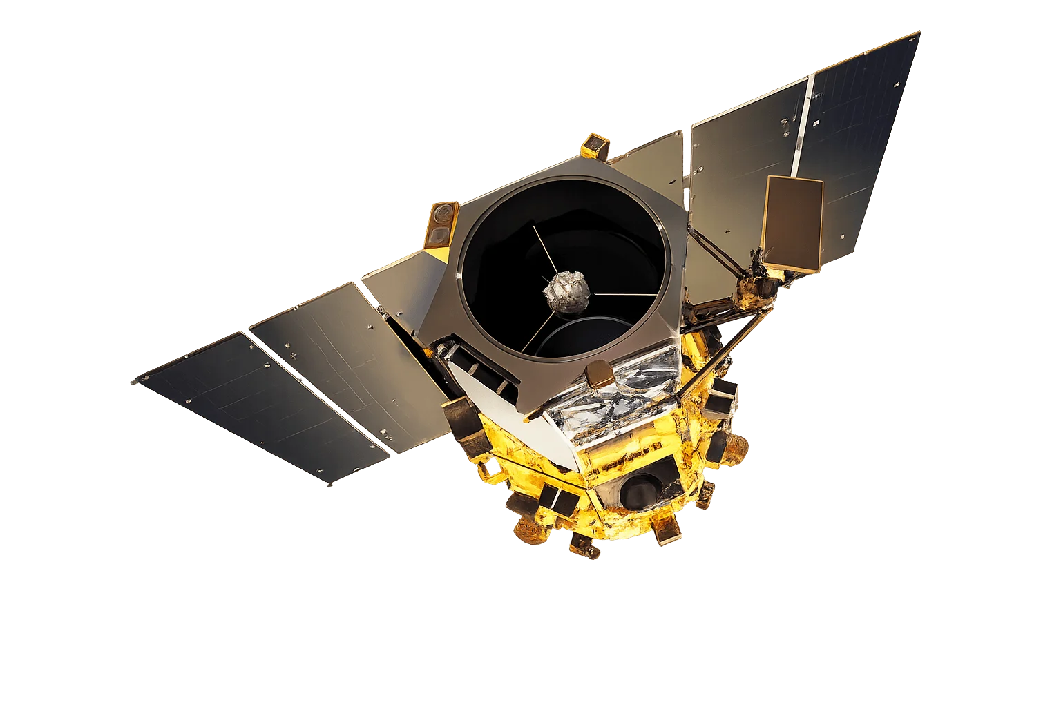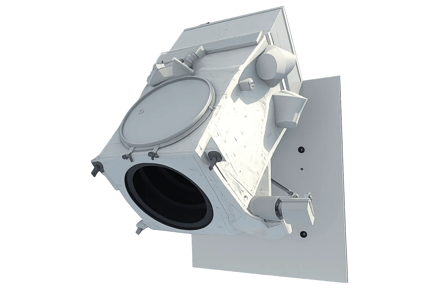
Overview
IKONOS-2 was the first sub-meter commercial Earth imaging satellite, opening high-resolution satellite imagery to commercial and government customers. Launched in September 1999 and operated successively by Space Imaging, GeoEye and DigitalGlobe (now part of Vantor), it far exceeded its 7-year design life, operating for more than 15 years before being decommissioned on March 31, 2015. Its imagery archive remains available for historical analysis.
Historical Significance
IKONOS-2 marked the start of the modern commercial high-resolution imagery industry. As the first commercial system to deliver sub-meter panchromatic detail, it established the market and many of the product standards later carried forward by QuickBird, GeoEye-1 and the WorldView series. Over its lifetime it collected hundreds of thousands of scenes, building one of the longest commercial high-resolution archives available.
Archive Availability
IKONOS-2 is decommissioned and no longer collects new imagery, so tasking is not available. Its global archive, spanning 1999 to early 2015, remains accessible and is valuable as an early sub-meter baseline for long-term change studies.
Applications for Archive Data
IKONOS-2 archive imagery supports:
- Long-term change detection - Compare conditions from the early 2000s to today using an early sub-meter record
- Baseline studies - Establish pre-development or pre-impact conditions for sites of interest
- Historical documentation - Capture how landscapes, urban areas and infrastructure appeared during the satellite's operational years
- Academic research - Support longitudinal and time-series analysis with a foundational high-resolution dataset