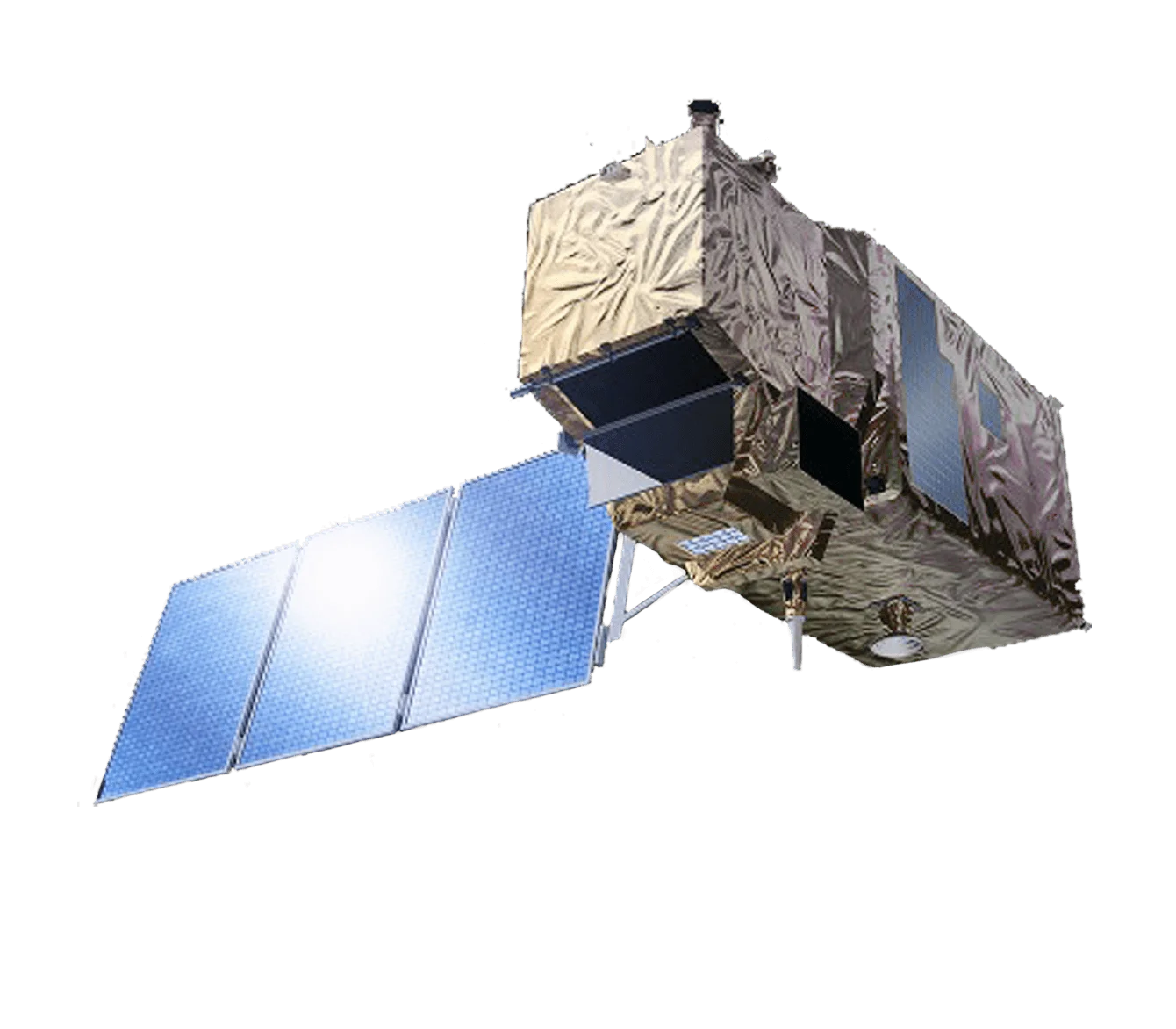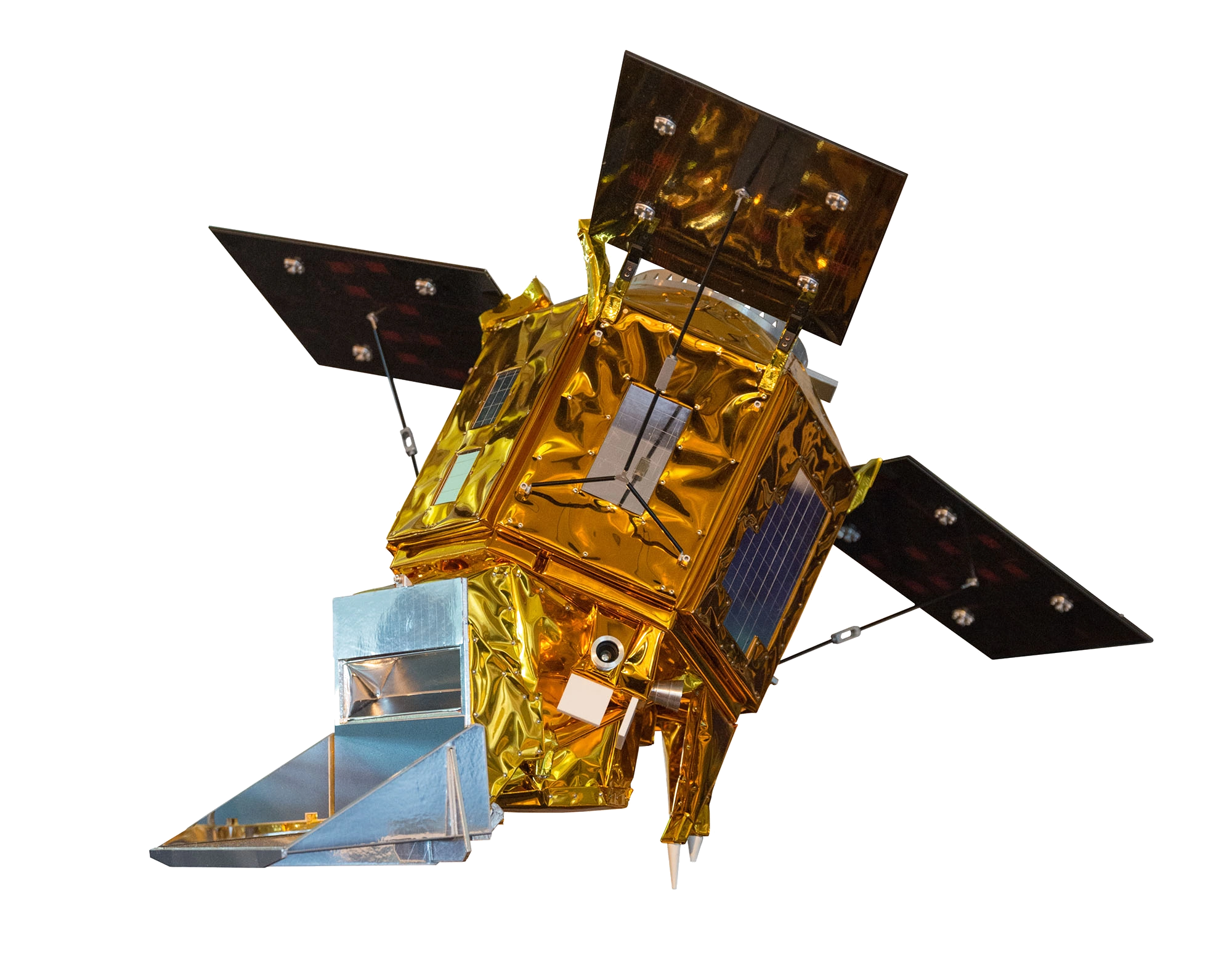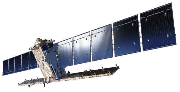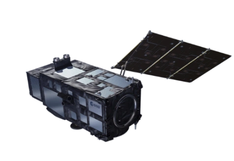
Overview
Sentinel-3 is a European Space Agency ocean and land monitoring mission developed under the Copernicus programme and operated jointly with EUMETSAT. The two-satellite constellation, Sentinel-3A launched in 2016 and Sentinel-3B in 2018, carries a suite of optical, radiometric and altimetry instruments designed to measure sea surface topography, sea and land surface temperature, and ocean and land colour. Sentinel-3B flies in the same orbit as Sentinel-3A but is phased to optimise joint coverage and shorten revisit times.
OLCI Imaging
The Ocean and Land Colour Instrument (OLCI) is the mission's primary multispectral imager, observing in 21 bands from the visible to the near infrared (400 nm to 1020 nm).
- 300 m spatial resolution - Full-resolution imagery across all 21 bands for detailed ocean and land colour mapping
- 1270 km swath - A wide field of view that enables near-daily global revisit with the constellation
- MERIS heritage - OLCI extends and improves on the Envisat MERIS instrument with additional bands and an enhanced signal-to-noise ratio
- Tilted camera design - The instrument field of view is tilted away from the Sun to reduce sun-glint contamination over water
SLSTR, SRAL and MWR
Sentinel-3 complements OLCI with a thermal radiometer, a radar altimeter and a microwave radiometer.
- SLSTR - The Sea and Land Surface Temperature Radiometer measures in the visible, shortwave infrared, mid infrared and thermal infrared at 500 m (VNIR/SWIR) and 1 km (MWIR/TIR) resolution
- SRAL - The SAR Radar Altimeter operates in Ku-band and C-band to measure sea surface height, significant wave height and surface topography
- MWR - The Microwave Radiometer works in K-band and Ka-band to correct altimeter measurements for atmospheric water vapour
- Combined products - Co-registered measurements from the instruments support integrated ocean, land and cryosphere monitoring
Revisit and Coverage
The dual-satellite constellation delivers frequent, systematic global observation.
- Ocean colour - Revisit of less than 1.9 days at the equator with both satellites
- Surface temperature - Revisit of less than 0.9 days at the equator with both satellites
- Sun-synchronous orbit - A frozen sun-synchronous orbit near 814 km altitude with a 10:00 AM descending-node crossing time
- Wide-swath synergy - The broad OLCI and SLSTR swaths combine to provide near-daily global land and ocean coverage
Applications
Sentinel-3 data supports a wide range of operational and scientific uses.
- Ocean monitoring - Sea surface temperature, ocean colour, chlorophyll and water quality observation
- Marine forecasting - Inputs to ocean and weather prediction services and maritime safety
- Land monitoring - Vegetation status, land surface temperature and fire detection
- Climate - Long-term records of sea surface height, sea and land surface temperature and ocean colour
- Cryosphere - Sea-ice and ice-sheet surface elevation and topography from the radar altimeter
Open Data Policy
Sentinel-3 products are distributed freely under the Copernicus open data policy through ESA and EUMETSAT data services, supporting marine, atmospheric, land and climate applications worldwide.