SI Imaging Services

Decommissioned

Long-serving Korean Earth observation satellite delivering 1-meter resolution imagery since 2006 for mapping and environmental monitoring.

Resolution
1.0 m panchromatic, 4.0 m multispectral
Bands
4
Revisit Rate
4-5 overpasses per week
KOMPSAT-2

Satellite specifications

Data Availability

Both archive imagery and new tasking are available for this constellation.

Archive: Available
Tasking: Available

Bands

Panchromatic500 to 900 nm
Blue450 to 520 nm
Green520 to 600 nm
Red630 to 690 nm
Near-Infrared (NIR)760 to 900 nm

Track satellites live

View real-time orbital positions

Satellites in Constellation1
Ground Sample Distance1.0 m panchromatic, 4.0 m multispectral
Bands4
Revisit Rate4-5 overpasses per week
Orbital Altitude685 km
Orbit TypeSun-synchronous orbit
Inclination98.1°
Equatorial Crossing Time10:30 AM local time (approximate)
Sensor Resolution1.0 m panchromatic and 4.0 m multispectral at nadir
Dynamic Range10-bit
Swath Width15 km at nadir
Retargeting Ability20 seconds to slew 300 km
Single Pass Collection Size2,000 sq km (at 30° off-nadir); 3,000 sq km (at 45° off-nadir)
Daily CapacityUp to 300,000 sq km
Geolocation Accuracy12 m CE90; less than 2 m CE90 with control
Launch DateJuly 28, 2006, 15:52 UTC
Launch SiteVandenberg Space Force Base, California, USA
Launch VehicleTaurus-XL rocket
Mission LifeAt least 5 years (still operational as of 2025)

Overview

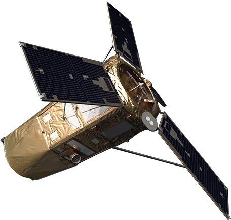
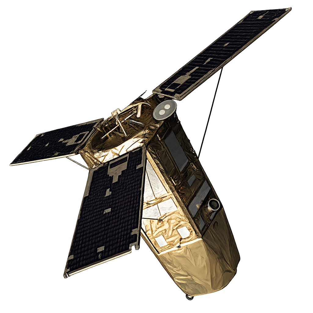
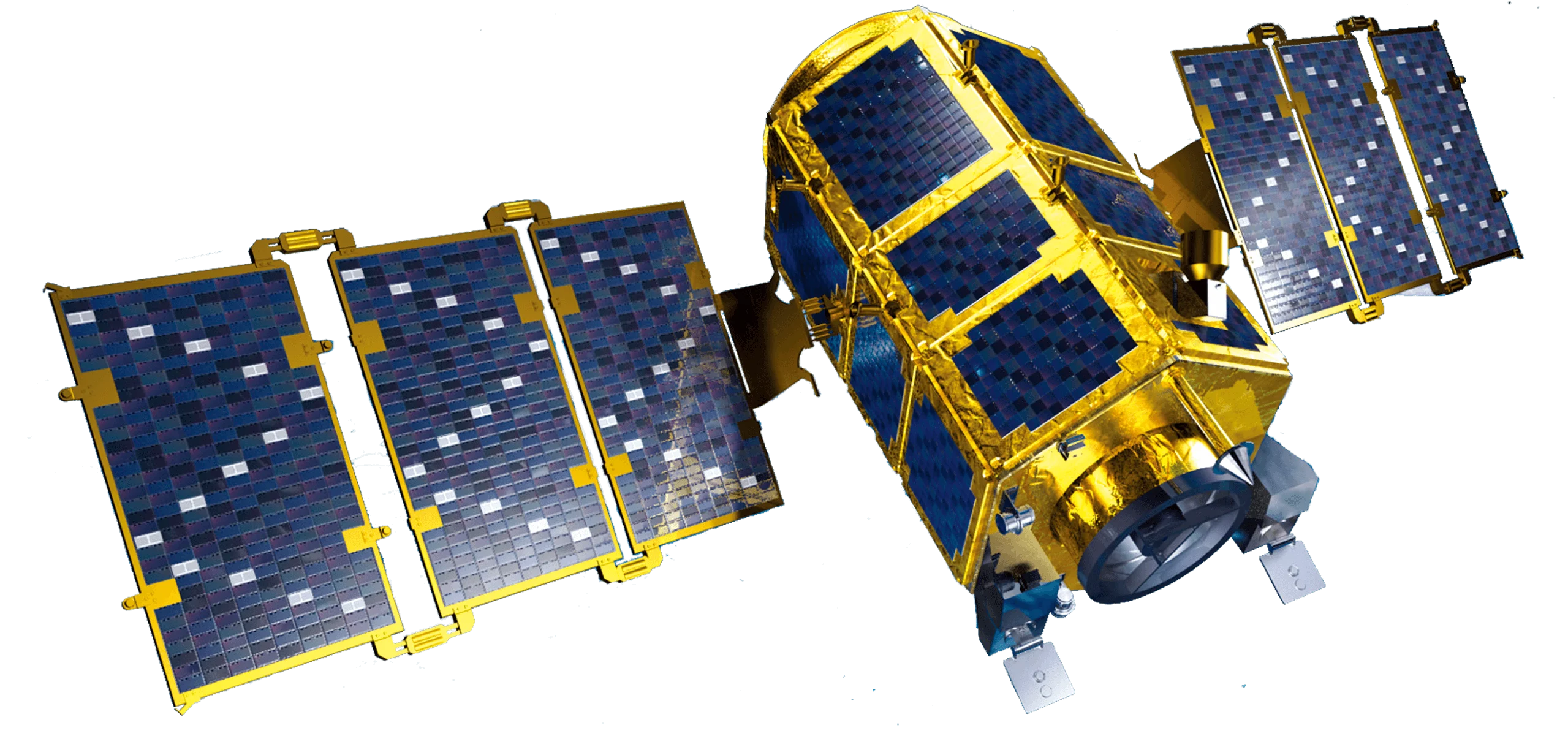
KOMPSAT-2 (Korea Multi-Purpose Satellite 2) is a South Korean Earth observation satellite operated by SI Imaging Services (SIIS). Launched in 2006 with an expected 5-year mission life, it has far exceeded expectations and continues to provide valuable imagery nearly two decades later.

Extended Mission Success

Originally designed for a 5-year mission, KOMPSAT-2 has demonstrated exceptional reliability and remains operational as of 2025. This longevity has provided an extensive archive of consistent imagery for long-term change detection and monitoring applications.

Multispectral Capability

The four-band multispectral sensor provides essential spectral information for:

  • Natural color - True color visualization for interpretation
  • Color infrared - Vegetation health and land cover analysis
  • Pan-sharpening - Enhanced resolution multispectral products

Applications

KOMPSAT-2's combination of resolution and reliability supports:

  • Mapping - Base map production and cartographic applications
  • Environmental monitoring - Land use change and ecosystem assessment
  • Agriculture - Crop monitoring and agricultural planning
  • Urban planning - Development tracking and infrastructure mapping
Order Imagery

Interested in imagery from this constellation? Contact our team to discuss your requirements.