Overview
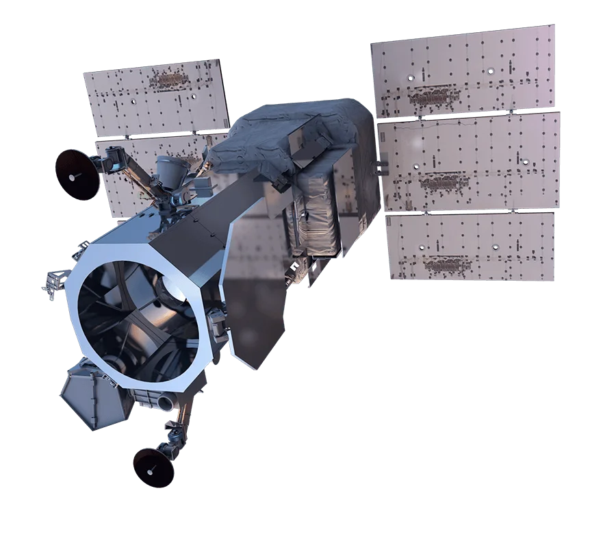
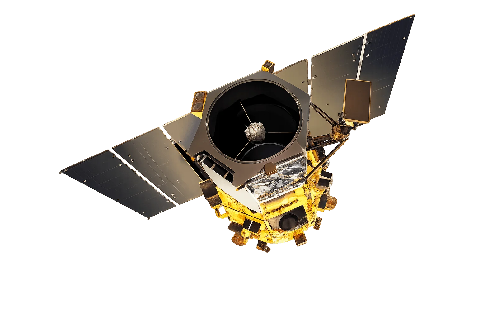
GeoEye-1 is a high-resolution commercial imaging satellite known for its exceptional pointing accuracy and agility. It is part of the Vantor constellation and continues to provide reliable high-resolution imagery.
Precision Geolocation
GeoEye-1 was designed with an emphasis on geometric accuracy, featuring:
- Advanced star trackers for precise attitude determination
- High-accuracy GPS for orbit determination
- Rapid retargeting capability for efficient collection
Multispectral Capability
The four-band multispectral sensor provides essential spectral information for:
- Natural color - True color visualization for interpretation
- Color infrared - Vegetation health and land cover analysis
- Pan-sharpening - High-resolution multispectral products
Applications
GeoEye-1's combination of resolution and accuracy supports:
- Intelligence - Precise geolocation for situational awareness
- Mapping - Accurate base map production
- Engineering - Site planning and infrastructure assessment
- Insurance - Property assessment and damage documentation