Overview
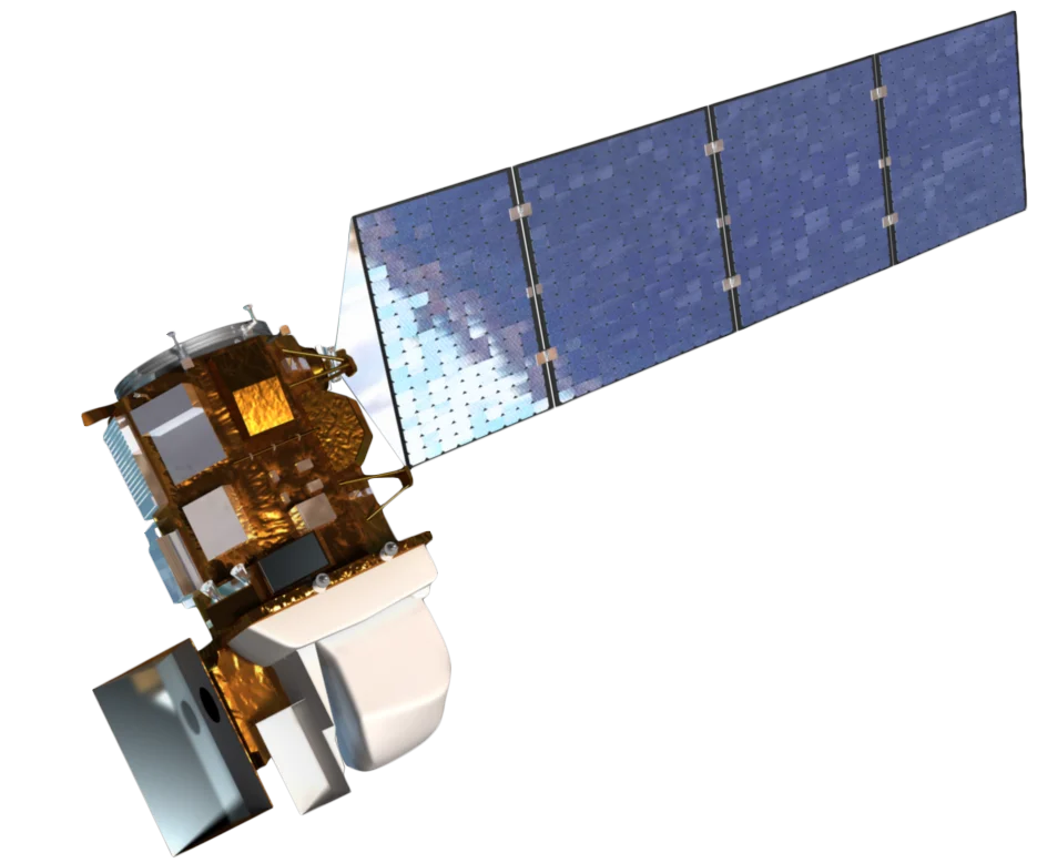
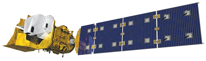
Landsat 5 was a NASA and USGS Earth observation satellite launched on March 1, 1984. Built as a near-identical backup to Landsat 4, it carried two instruments: the Thematic Mapper (TM), a seven-band multispectral sensor delivering 30 m resolution across the visible, near-infrared and shortwave-infrared bands plus a 120 m thermal band, and the Multispectral Scanner (MSS), an earlier four-band instrument at 80 m resolution that preserved continuity with the original Landsat series.
Designed for a three-year mission, Landsat 5 instead operated for nearly 29 years. It holds the Guinness World Record as the longest-operating Earth observation satellite, orbiting the planet more than 150,000 times and returning over 2.5 million images before it was decommissioned on June 5, 2013. Its unusual longevity was helped by extra onboard fuel, originally provisioned for a planned Space Shuttle retrieval that never took place.
Instruments
Landsat 5 flew two sensors, giving the mission both a high-quality multispectral instrument and backward compatibility with the earliest Landsat data.
- Thematic Mapper (TM) - A seven-band scanner with 30 m resolution in the six reflective bands and 120 m resolution in the thermal-infrared band, quantized at 8 bits
- Multispectral Scanner (MSS) - A four-band instrument at 80 m resolution, carried to maintain continuity with Landsat 1 through 4
- 185 km swath - Both instruments imaged a 185 km wide ground swath, supporting consistent wide-area land surface mapping
The Landsat Archive and Continuity
Landsat 5 was a central pillar of the multi-decade Landsat record, the longest continuous space-based record of Earth's land surface.
- Decades of overlap - Its long lifetime bridged Landsat 4, 7 and 8, helping cross-calibrate sensors and maintain a consistent record across missions
- Historic events captured - Landsat 5 documented tropical deforestation, urban growth and major natural disasters across almost three decades
- Standardized data - TM imagery shares band definitions and 30 m resolution with later Landsat missions, allowing direct comparison across decades
Archive Availability
All Landsat 5 imagery is part of the freely available USGS Landsat archive. Because the satellite is decommissioned, no new collection or tasking is possible, but the full historical record remains accessible.
- Free and open access - Landsat 5 scenes can be searched and downloaded at no cost through USGS distribution platforms such as EarthExplorer
- Long temporal baseline - The archive spans 1984 to early 2013, supporting change-detection studies over almost three decades
- No new tasking - As a retired mission, Landsat 5 offers archive data only
Applications for Archive Data
The Landsat 5 archive supports a wide range of land and water monitoring tasks using its long, consistent multispectral record.
- Land cover change - Multi-decade imagery enables mapping of urban growth, deforestation and agricultural expansion
- Vegetation monitoring - The green, red, near-infrared and shortwave-infrared bands support vegetation vigour, biomass and moisture analysis
- Geology and soils - The two shortwave-infrared bands aid mineral and hydrothermal alteration mapping
- Water and coastal mapping - The blue band assists with coastal and shallow water studies, and the thermal band supports surface temperature analysis
- Historical baselines - The early-1980s start date provides reference imagery for long-term environmental and climate-related studies