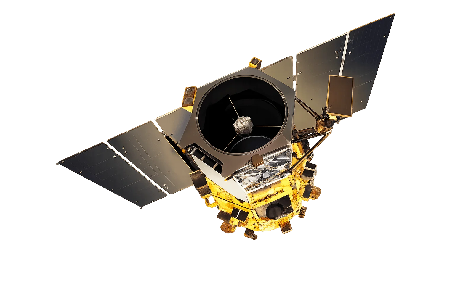
Overview
WorldView-1 was the first of Vantor's WorldView series, establishing the standard for commercial high-resolution satellite imagery when it launched in 2007. As a panchromatic-only satellite, it is optimized for applications requiring maximum spatial resolution and geometric accuracy.
Mapping Excellence
WorldView-1's design prioritizes geometric accuracy and collection efficiency, making it the preferred choice for:
- Stereo collection - Rapid acquisition of stereo pairs for 3D modeling
- Large-area mapping - Consistent, high-accuracy base mapping
- Digital elevation models - Source imagery for terrain extraction
Extended Mission Success
Operating well beyond its original 10-year design life, WorldView-1 demonstrates exceptional reliability and continues to provide valuable imagery for the global mapping community.
Applications
WorldView-1's panchromatic focus makes it ideal for:
- Cartography - Base map production and updates
- Infrastructure - Road networks, building footprints, and facility mapping
- Defense - High-resolution reconnaissance and situational awareness
- 3D modeling - Urban reconstruction and terrain analysis