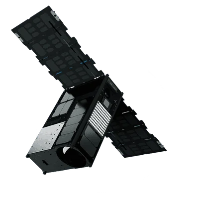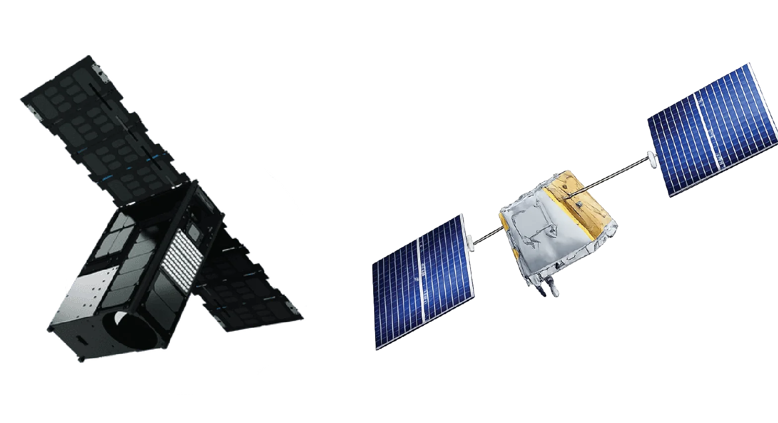
Overview
The Dragonette constellation (Dragonette-2, 3, 4 and 5) represents Wyvern's operational hyperspectral imaging capability. Building on lessons learned from Dragonette-1, these satellites feature an enhanced 31-band sensor with extended spectral coverage into the blue wavelengths (445-770nm).
Enhanced Hyperspectral Capability
With 31 contiguous spectral bands spanning the visible to near-infrared range, the Dragonette constellation provides comprehensive spectral signatures for:
- Precision agriculture - Detailed crop health, nutrient status, and stress detection
- Water quality monitoring - Chlorophyll, suspended sediments, and dissolved organics
- Vegetation analysis - Species identification and ecosystem health assessment
- Mineral exploration - Surface mineralogy and geological mapping
Extended Blue Coverage
The addition of blue wavelength bands (445-495nm) enables:
- Coastal and bathymetric analysis - Shallow water depth estimation
- Atmospheric correction - Improved data quality through aerosol characterization
- Water constituent analysis - Enhanced detection of phytoplankton and water quality parameters
Spectral Resolution
The 31 VNIR bands provide continuous spectral coverage with narrow bandwidths (~18-31nm FWHM), enabling:
- Spectral unmixing - Decompose mixed pixels into component materials
- Red edge analysis - Multiple bands capturing the vegetation red edge (680-750nm)
- Derivative spectroscopy - Fine spectral features for material identification
Applications
The Dragonette constellation's hyperspectral capabilities support:
- Agriculture - Variable rate application, yield prediction, and crop monitoring
- Forestry - Forest inventory, health assessment, and fire risk mapping
- Environment - Wetland mapping, invasive species detection, and habitat assessment
- Mining - Exploration targeting and environmental monitoring
- Water resources - Lake and reservoir monitoring, algal bloom detection