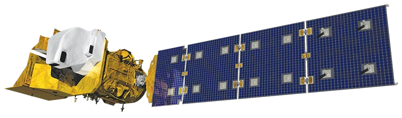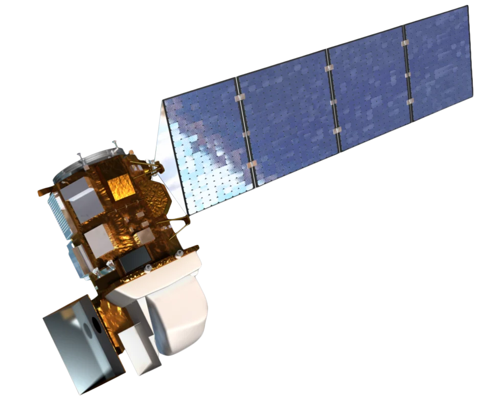
Overview
Landsat 7, launched in 1999, is a joint NASA/USGS mission that continues the Landsat program's legacy of providing consistent, calibrated Earth observation data. Despite a Scan Line Corrector (SLC) failure in 2003, it remained operational until 2025 when it was decommissioned.
Extended Mission Success
Originally designed for a 5-year mission, Landsat 7 has operated for over 25 years, demonstrating exceptional reliability and providing an unbroken record of Earth observation data.
Scan Line Corrector Issue
Since May 2003, the Scan Line Corrector has been non-functional, resulting in data gaps at the edges of each scene. However:
- Center of scene - Full data quality maintained
- Gap-filling techniques - Algorithms available to interpolate missing data
- Continued value - Data remains useful for many applications
Landsat Archive
Landsat 7 contributes to the world's longest continuous satellite record of Earth's land surface:
- 25+ years of consistent observations
- Free and open data policy since 2008
- Calibrated to match other Landsat sensors
Applications
Landsat 7 data supports:
- Land cover change - Track deforestation, urbanization, and land use
- Water resources - Monitor lakes, reservoirs, and irrigation
- Agriculture - Crop monitoring and drought assessment
- Climate research - Long-term environmental change studies
- Disaster response - Fire mapping and flood extent
Open Data Policy
All Landsat 7 data is freely available through USGS Earth Explorer and the Landsat archive, supporting global research and operational applications.