Wyvern

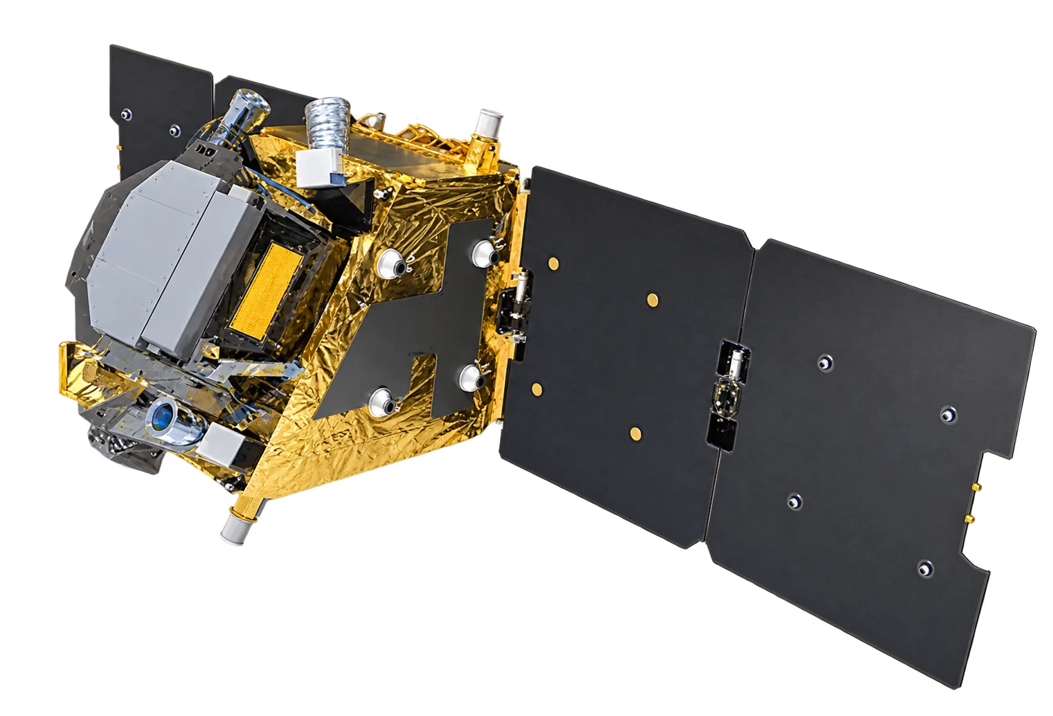
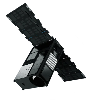
First-generation Wyvern hyperspectral satellite delivering 23-band VNIR imagery at 5.3m resolution for precision agriculture and environmental monitoring.

Resolution
5.3 m hyperspectral
Bands
23
Revisit Rate
Every 2 days
Dragonette-1

Satellite specifications

Data Availability

Both archive imagery and new tasking are available for this constellation.

Archive: Available
Tasking: Available

Bands

Band 1503 nm (20.1 FWHM)
Band 2510 nm (20.4 FWHM)
Band 3519 nm (20.8 FWHM)
Band 4535 nm (21.4 FWHM)
Band 5549 nm (22.0 FWHM)
Band 6570 nm (22.8 FWHM)
Band 7584 nm (23.4 FWHM)
Band 8600 nm (24.0 FWHM)
Band 9614 nm (24.6 FWHM)
Band 10635 nm (25.4 FWHM)
Band 11649 nm (26.0 FWHM)
Band 12660 nm (26.4 FWHM)
Band 13669 nm (26.8 FWHM)
Band 14679 nm (27.2 FWHM)
Band 15690 nm (27.6 FWHM)
Band 16699 nm (28.0 FWHM)
Band 17711 nm (28.4 FWHM)
Band 18722 nm (28.9 FWHM)
Band 19734 nm (29.4 FWHM)
Band 20750 nm (30.0 FWHM)
Band 21764 nm (30.6 FWHM)
Band 22782 nm (31.3 FWHM)
Band 23799 nm (32.0 FWHM)

Track satellites live

View real-time orbital positions

Satellites in Constellation1
Ground Sample Distance5.3 m hyperspectral
Bands23
Revisit RateEvery 2 days
Orbital Altitude500 km
Orbit TypeSun-synchronous orbit
Inclination97.4°
Sensor Resolution5.3 m at nadir
Dynamic Range12-bit
Swath Width20 km at nadir
Geolocation Accuracy25 m CE90; less than 10 m CE90 with control
Launch DateApril 2023
Launch SiteVandenberg Space Force Base, California, USA
Launch VehicleSpaceX Falcon 9
Mission Life5 to 7 years

Overview

Dragonette-1 is the first satellite in Wyvern's hyperspectral constellation, launched in April 2023. As a pathfinder mission, it demonstrated Wyvern's innovative approach to affordable hyperspectral imaging from space, delivering 23-band VNIR data at 5.3-meter resolution.

Hyperspectral Capability

With 23 contiguous spectral bands spanning the visible to near-infrared range (500-800nm), Dragonette-1 provides detailed spectral signatures for:

  • Crop health analysis - Detect plant stress before visible symptoms appear
  • Species identification - Distinguish between vegetation types and crop varieties
  • Water quality - Monitor chlorophyll, sediment, and pollutant levels
  • Mineral mapping - Identify surface mineralogy and soil composition

Spectral Resolution

The 23 VNIR bands provide continuous spectral coverage with narrow bandwidths (~20-32nm FWHM), enabling:

  • Spectral unmixing - Decompose mixed pixels into component materials
  • Red edge analysis - Precise vegetation health metrics from the 690-750nm region
  • Chlorophyll estimation - Multiple bands targeting absorption features

Applications

Dragonette-1's hyperspectral capabilities support:

  • Precision agriculture - Variable rate application and yield optimization
  • Forestry - Forest health monitoring and species mapping
  • Environmental monitoring - Ecosystem assessment and change detection
  • Mining - Exploration support and environmental compliance
Order Imagery

Interested in imagery from this constellation? Contact our team to discuss your requirements.