Loading...
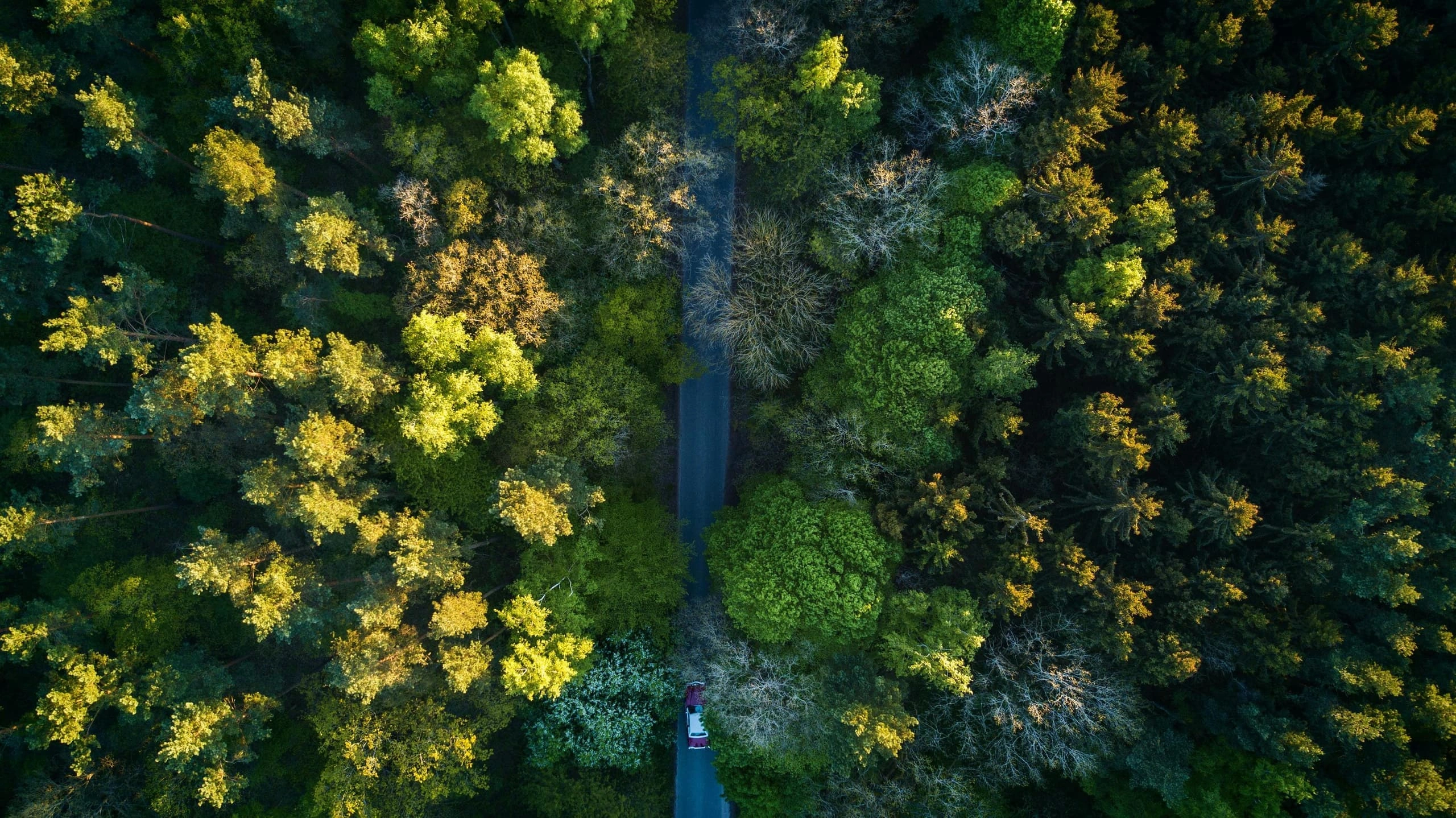
Turning satellite imagery into clear, actionable intelligence for the operations that shape industries - across Australia and beyond.
Terrabit pairs the world's leading satellite imagery with deep local expertise and software craftsmanship. We take the noise out of geospatial data - sourcing it, processing it and integrating it into the systems clients already use - so the people responsible for assets, operations and policy, in Australia and around the world, can act on information they trust.
From the moment a tasking request goes out to the moment data lands in your decision-making workflow, our team handles every step of the chain - and continuously refines the tooling that runs it.
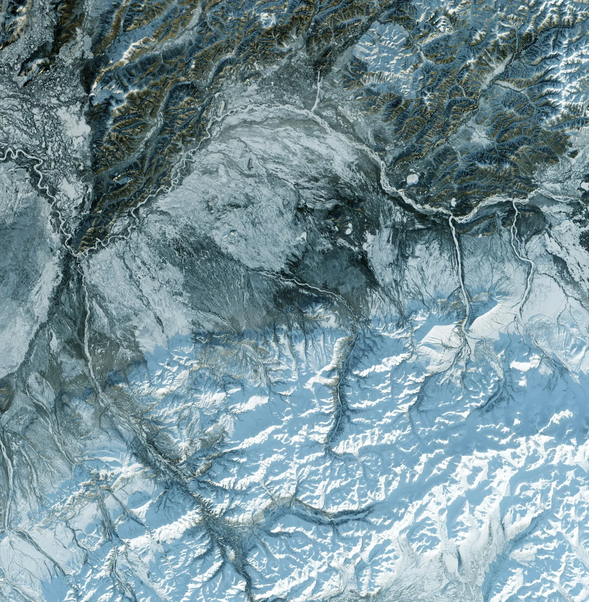
Ad-hoc, scheduled and recurring tasking across optical, SAR and hyperspectral sensors, via partnerships with the world’s leading imagery vendors.
Sovereign processing in Australia - orthorectification, calibration and rigorous quality assurance - so every dataset is analysis-ready before it reaches you.
Custom-built pipelines and connectors that fold geospatial data into the GIS, CAD and operational systems your team already runs on.
Ongoing change-detection, alerting and tracking programs designed for active sites, assets and environmental areas of interest.
Raw imagery is just the starting point. Our process is built around turning every dataset into something operationally useful - calibrated, validated, integrated and surfaced where decisions actually get made.
That means working with clients before the first image is captured to understand the questions they need answered, then continuously refining the workflow as priorities evolve.
The result: less time spent sourcing and managing data, fewer surprises in the field and faster, more confident decisions across the entire project life cycle.
In the planning phase we help clients establish baselines, plan tasking schedules and build the integration plumbing that will carry data once a project is live.
During operations we deliver continuous monitoring, change detection and on-demand ad-hoc imagery, so teams can respond to events as they unfold.
After a project closes - through rehabilitation, decommissioning or long-term compliance reporting - we keep watching, ensuring obligations are met and outcomes are documented.
Our work isn't just about the next dataset. We are investing in Australia's long-term geospatial capability - local processing, in-house engineering and the kind of partnerships that compound in value over time.