Overview
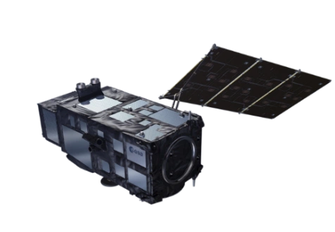
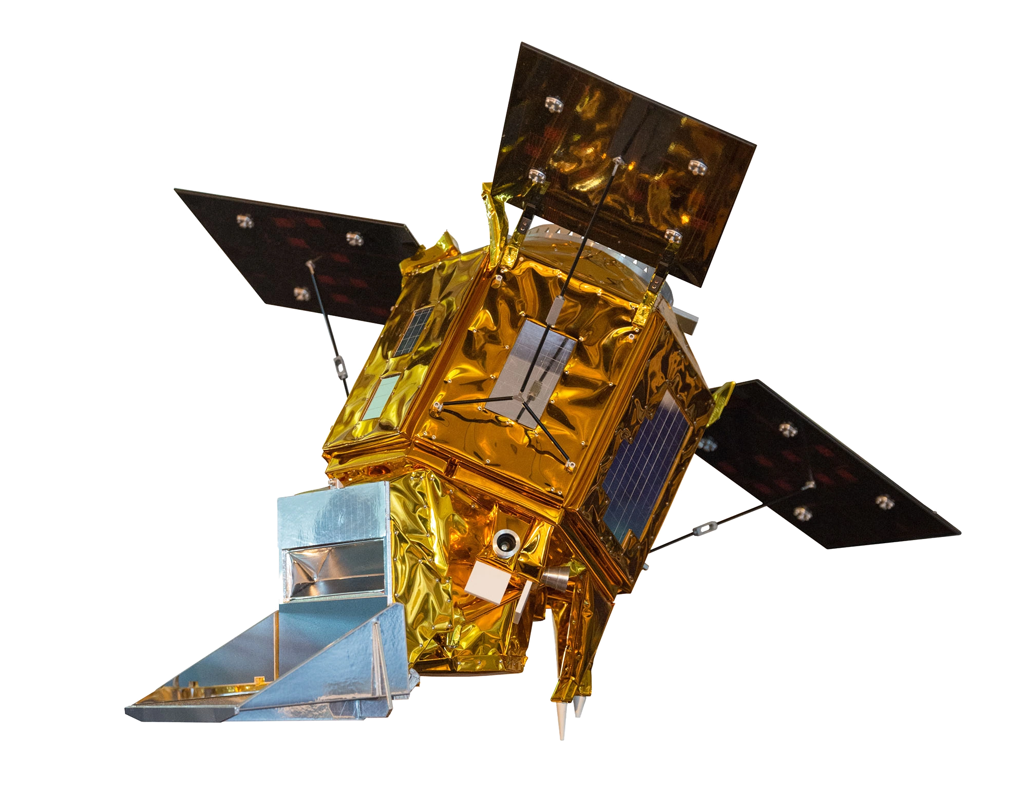
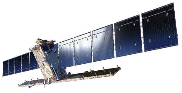
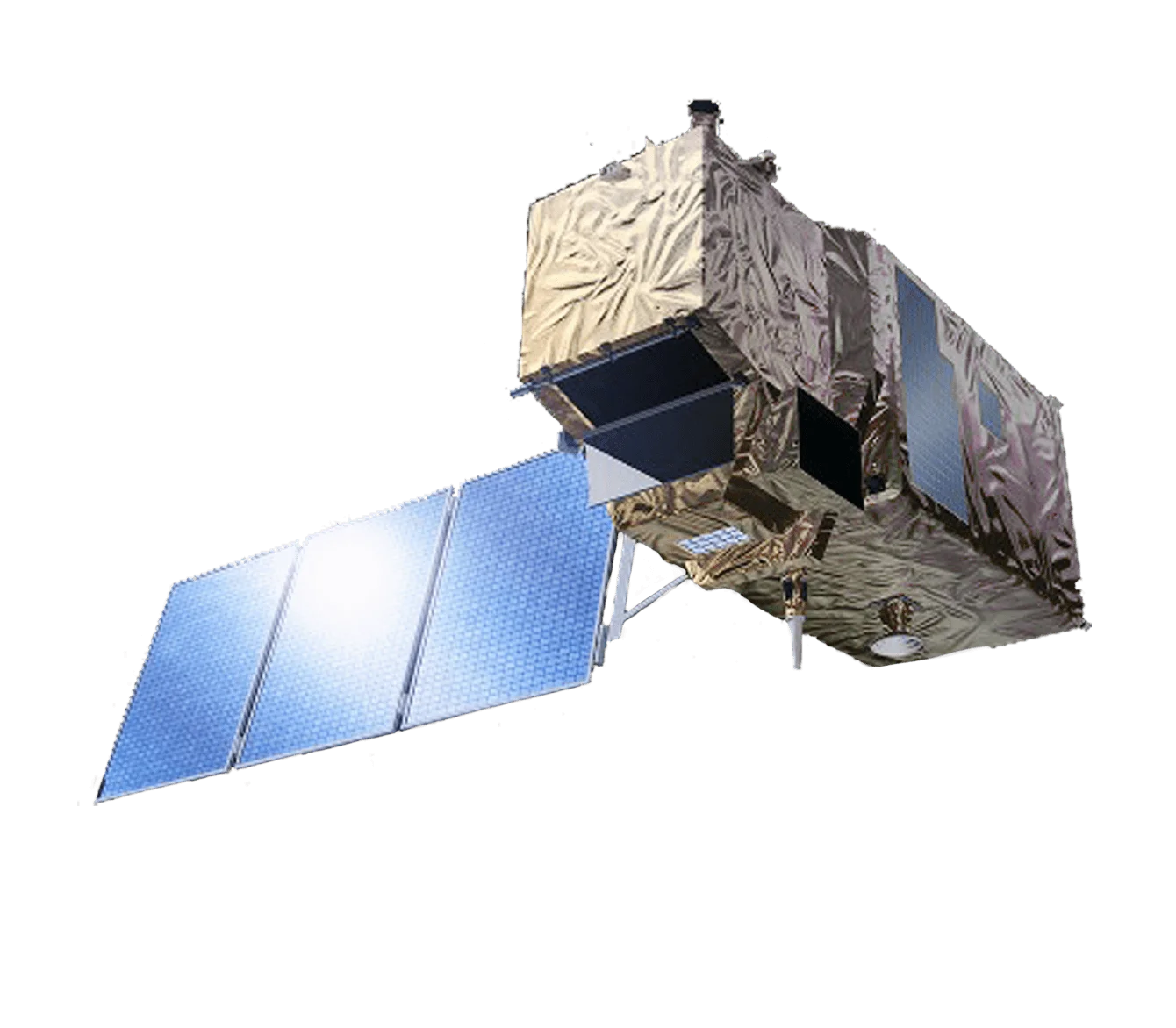
Sentinel-2 is the European Space Agency's high-resolution multispectral imaging mission, developed as part of the Copernicus programme. The three-satellite constellation provides systematic global coverage with 13 spectral bands at 10-60m resolution.
Multispectral Excellence
With 13 spectral bands spanning visible to short-wave infrared wavelengths, Sentinel-2 enables:
- Vegetation monitoring - NDVI, LAI, and chlorophyll content analysis
- Land cover classification - Detailed habitat and land use mapping
- Water quality - Coastal and inland water body monitoring
- Agriculture - Crop type identification and health assessment
Red Edge Bands
The three red edge bands (705, 740, 783nm) provide unique capabilities:
- Vegetation stress detection - Early warning of plant health issues
- Chlorophyll estimation - Precise biomass and productivity assessment
- Crop phenology - Track growth stages through the season
High Revisit Frequency
With three satellites the Sentinel-2 constellation achieves:
- 5-day revisit at the equator
- 2-3 day revisit at mid-latitudes
- Daily coverage at high latitudes
Applications
Sentinel-2 data supports diverse applications:
- Agriculture - Precision farming, crop monitoring, yield prediction
- Forestry - Forest inventory, fire mapping, deforestation monitoring
- Urban - Urban expansion tracking, green space mapping
- Disaster - Flood mapping, fire extent, damage assessment
- Coastal - Shoreline change, habitat mapping, water quality
Open Data Policy
Sentinel-2 data is freely available through the Copernicus Open Access Hub, enabling global access to high-quality Earth observation data.