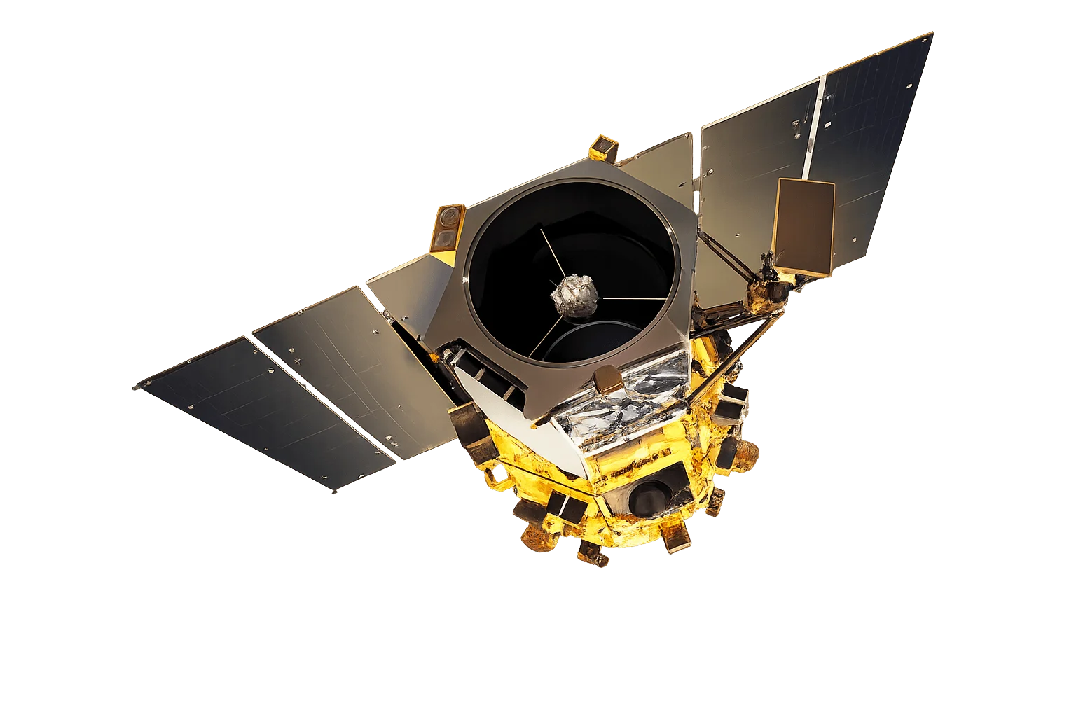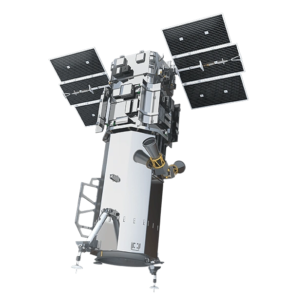
Overview
Vantage is a planned class of high-resolution electro-optical satellites announced by Vantor in April 2026, billed as the first 20 cm-class satellites on orbit. It is designed to advance the industry's most accurate spatial foundation, pairing 20 cm-class resolution with industry-leading geolocation accuracy so that every insight, model and decision is grounded in truth. Vantor expects the first Vantage satellites to launch as early as 2029.
Vantage extends the Vantor constellation, enhancing global coverage and refresh rates while maintaining the accuracy and resolution required to serve as trusted ground truth. It is the high-detail counterpart to the high-frequency Pulse fleet, and together they are designed to remove the long-standing trade-off between imaging the world in fine detail and monitoring it continuously.
Because the program was only recently announced, several parameters are published as ranges or planned targets.
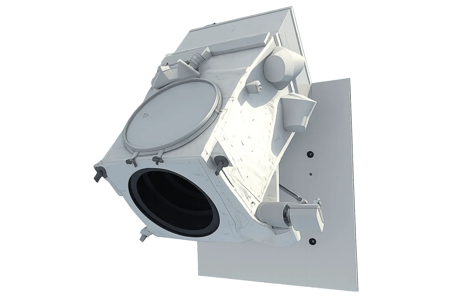
Key Capabilities
- 20 cm-class imagery - 22 to 28 cm native resolution for confident object and pattern identification
- Unmatched geolocation accuracy - Less than 5 m CE90 for a trusted spatial foundation
- High agility - CMG attitude control with roughly twice the agility of WorldView-3
- 8 multispectral bands - Multi-band electro-optical collection
- Multi-sensor fusion - Improved spatial fidelity strengthens fusion, analysis and AI-driven insight
- Trusted ground truth - Maintains the accuracy and resolution required to anchor other sensors
Performance
- Collection points - 1,800 points per day
- Area capacity - More than 1.5 million sq km per day
- Geolocation accuracy - Less than 5 m CE90
- Radiometric accuracy - Less than 2 percent
- Useful lifetime - More than 10 years
- Orbit - 450 to 600 km sun-synchronous orbit (SSO)
Applications
- Defence and intelligence - Higher confidence in targeting, faster understanding of activity and more accurate operational terrain
- Mapping and 3D products - Higher resolution and geolocation accuracy improve 2D and 3D outputs for planning and autonomy
- Feature extraction - Clearer object identification supports precise mapping and analysis at scale
- Change detection - High-detail before-and-after comparison across the constellation