Overview
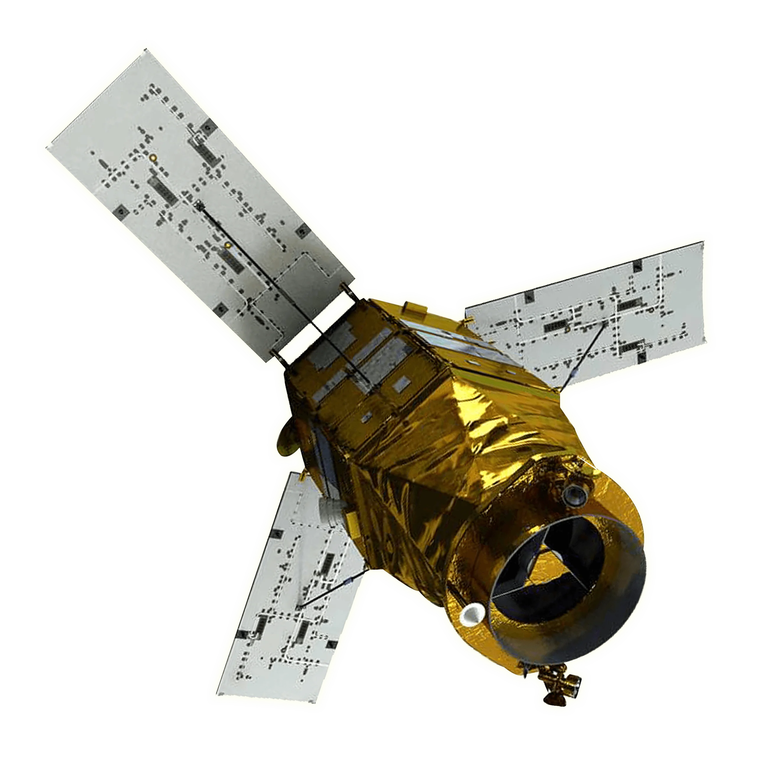
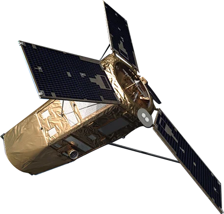
KOMPSAT-7 (Korea Multi-Purpose Satellite-7), also known as Arirang-7, is a very high resolution optical Earth observation satellite developed by the Korea Aerospace Research Institute (KARI). Launched on December 1, 2025 aboard a Vega C rocket from Europe's Spaceport in French Guiana, it is the highest resolution satellite in the KOMPSAT optical series, carrying the AEISS-HR (Advanced Earth Imaging Sensor System - High Resolution) imager. KOMPSAT-7 imagery is distributed commercially worldwide by SI Imaging Services (SIIS).
Very High Resolution Optical Imaging
The AEISS-HR instrument captures imagery at roughly 30 cm panchromatic resolution, with multispectral and infrared channels alongside it.
- Panchromatic detail - Approximately 0.3 m ground sample distance for fine-scale feature identification
- Multispectral colour - Approximately 1.2 m resolution across the visible and near-infrared bands
- Infrared channel - Approximately 4 m resolution supporting thermal and condition assessment
- 14-bit data - High radiometric depth for strong contrast across varied surface brightness
KOMPSAT Constellation Context
KOMPSAT-7 builds directly on the proven heritage of the earlier Korean optical satellites.
- Series progression - Successor to KOMPSAT-3 and KOMPSAT-3A, raising the optical class from 40-70 cm to 30 cm
- KARI development - Designed and built by the Korea Aerospace Research Institute in Daejeon, South Korea
- Companion satellite - KOMPSAT-7A is planned to follow, extending capacity and revisit performance
- Sun-synchronous orbit - Consistent morning illumination supports reliable change detection over time
Tasking and Delivery via SIIS
SI Imaging Services (SIIS) is the exclusive worldwide distributor for the KOMPSAT series, including KOMPSAT-7.
- New tasking - Customers can task fresh acquisitions over specific areas of interest
- Archive access - Previously collected scenes are available for immediate ordering
- Global partner network - SIIS distributes through a large international reseller network
- Defined product tiers - Imagery is supplied as standard processed products for analysis and mapping
Applications
KOMPSAT-7's very high resolution and multispectral capability support a broad range of uses.
- Defence and intelligence - Detailed reconnaissance and situational awareness
- Urban and infrastructure mapping - Building, road and asset-level identification
- Precision agriculture - Plant-scale crop monitoring using visible and near-infrared bands
- Environmental monitoring - Land cover, vegetation and change detection
- Disaster response - Rapid high-detail imaging for emergency assessment