
Loading...
Capability
Documented applications of satellite imagery, elevation data and analytics: what we deliver, how it works and where it applies. If you would like to learn more about our capabilities, get in touch.
Get in touch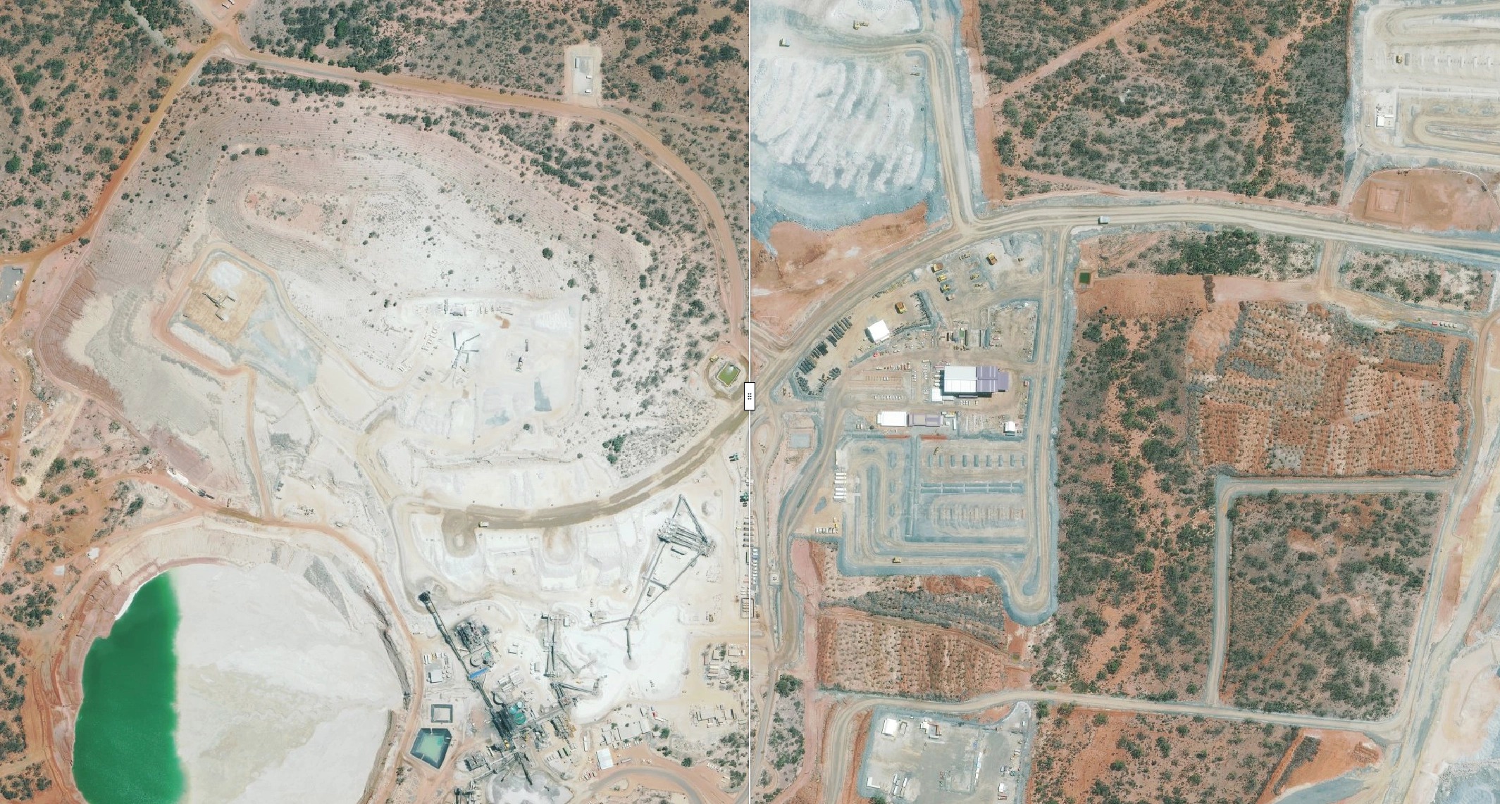
A Western Australian operation is using quarterly 30cm satellite mosaics to build a consistent, repeatable record of site change across more than 2,600 km², from pits and stockpiles to haul roads, infrastructure and ground disturbance.
Area per Epoch
2,602.2 km²
Capture Time
10.2 days
Processing Time
3.3 days
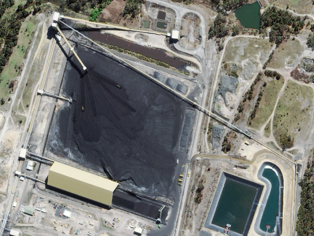
Terrabit used high-resolution satellite imagery to remotely measure stockpile volumes at an operating mine and a power generation facility. Imagery was processed into Digital Elevation Models and reported as per-stockpile volumes, delivering inventory data with zero site disruption.
Stockpiles Measured
~1.5 Mt
Sites Measured
2
Site Access
Zero