Overview
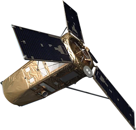
KOMPSAT-3 (Korea Multi-Purpose Satellite 3) is a high-resolution Earth observation satellite operated by SI Imaging Services (SIIS). Launched in 2012, it marked a significant advancement in Korean space capabilities with sub-meter resolution imaging.
High-Resolution Imaging
With 50cm panchromatic resolution, KOMPSAT-3 provides detailed imagery suitable for:
- Urban mapping - Building footprints and infrastructure detail
- Precision agriculture - Field-level crop analysis
- Security applications - Detailed site monitoring
- Change detection - Fine-scale temporal analysis
Multispectral Capability
The four-band multispectral sensor enables:
- Vegetation analysis - NDVI and crop health assessment
- Land cover classification - Detailed habitat mapping
- Water quality - Coastal and inland water monitoring
- Disaster response - Damage assessment and planning
Applications
KOMPSAT-3's combination of resolution and spectral capability supports:
- Government - National mapping and defense applications
- Agriculture - Precision farming and yield estimation
- Environment - Ecosystem monitoring and conservation
- Infrastructure - Asset management and planning