Overview
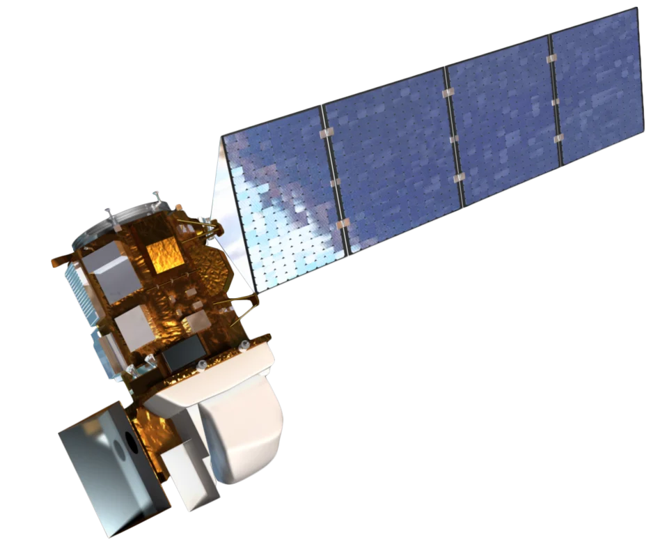
Landsat 9 is the latest mission in the joint NASA/USGS Landsat program, launched in September 2021. It continues the 50+ year legacy of Landsat Earth observation, providing consistent, calibrated data for global land monitoring.
Improved Performance
Landsat 9 features enhanced capabilities:
- 14-bit radiometric resolution - Improved sensitivity and dynamic range
- Improved TIRS-2 - Better thermal calibration than Landsat 8
- Lower noise - Enhanced signal-to-noise ratio for subtle feature detection
- Consistent calibration - Matched to Landsat 8 for seamless time series
Combined Revisit
Operating in tandem with Landsat 8, the two satellites provide:
- 8-day combined revisit - Doubled observation frequency
- Phased orbits - Landsat 9 follows Landsat 8 by 8 days
- Consistent products - Identical spectral bands and processing
Landsat Legacy
Landsat 9 ensures continuity of the world's longest civilian Earth observation record:
- 50+ years of continuous observations since 1972
- Billions of acres monitored annually
- Free and open data for all users worldwide
Applications
Landsat 9 data supports critical applications:
- Agriculture - Crop monitoring, water use efficiency, yield forecasting
- Forestry - Forest health, carbon stocks, wildfire recovery
- Water - Surface water extent, water quality, glacier monitoring
- Urban - Urban expansion, infrastructure planning, heat mitigation
- Climate - Ecosystem change, carbon cycle, phenology trends
Open Data Policy
All Landsat 9 data is freely available through USGS Earth Explorer and cloud platforms (AWS, Google Earth Engine), supporting global research and applications.