Overview
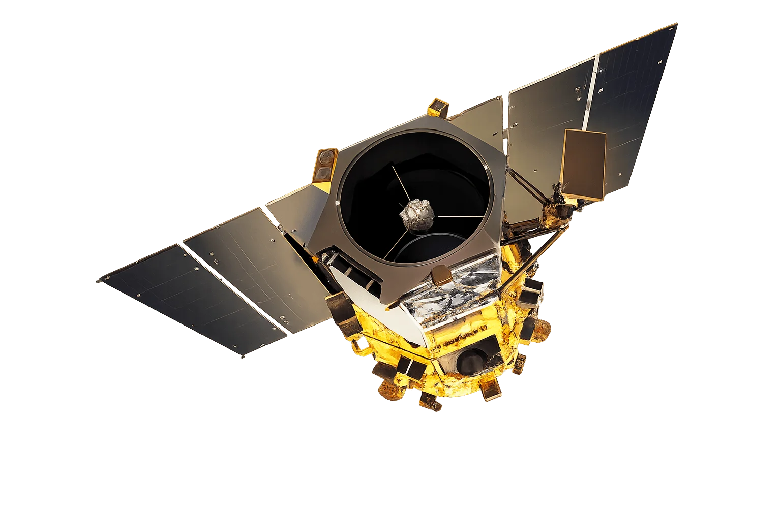
WorldView-4 was a high-resolution commercial imaging satellite that operated from November 2016 until January 2019. Originally built as GeoEye-2, it was launched by Vantor and provided 31cm resolution imagery until a control moment gyroscope failure led to its decommissioning.
Archive Availability
While WorldView-4 is no longer operational, its archive imagery remains available for historical analysis and baseline studies. The satellite collected imagery for over two years, providing valuable historical data for change detection and retrospective analysis.
Applications for Archive Data
WorldView-4 archive imagery is useful for:
- Historical baselines - Establish conditions before development or environmental changes
- Change detection - Compare with current imagery to quantify changes
- Legal and compliance - Document historical conditions for regulatory purposes
- Research - Support academic and scientific studies requiring historical data