Loading...
Solutions / Industries / Mining
High-resolution imagery, elevation models and analytics for every stage of your operation, from exploration through to rehabilitation.
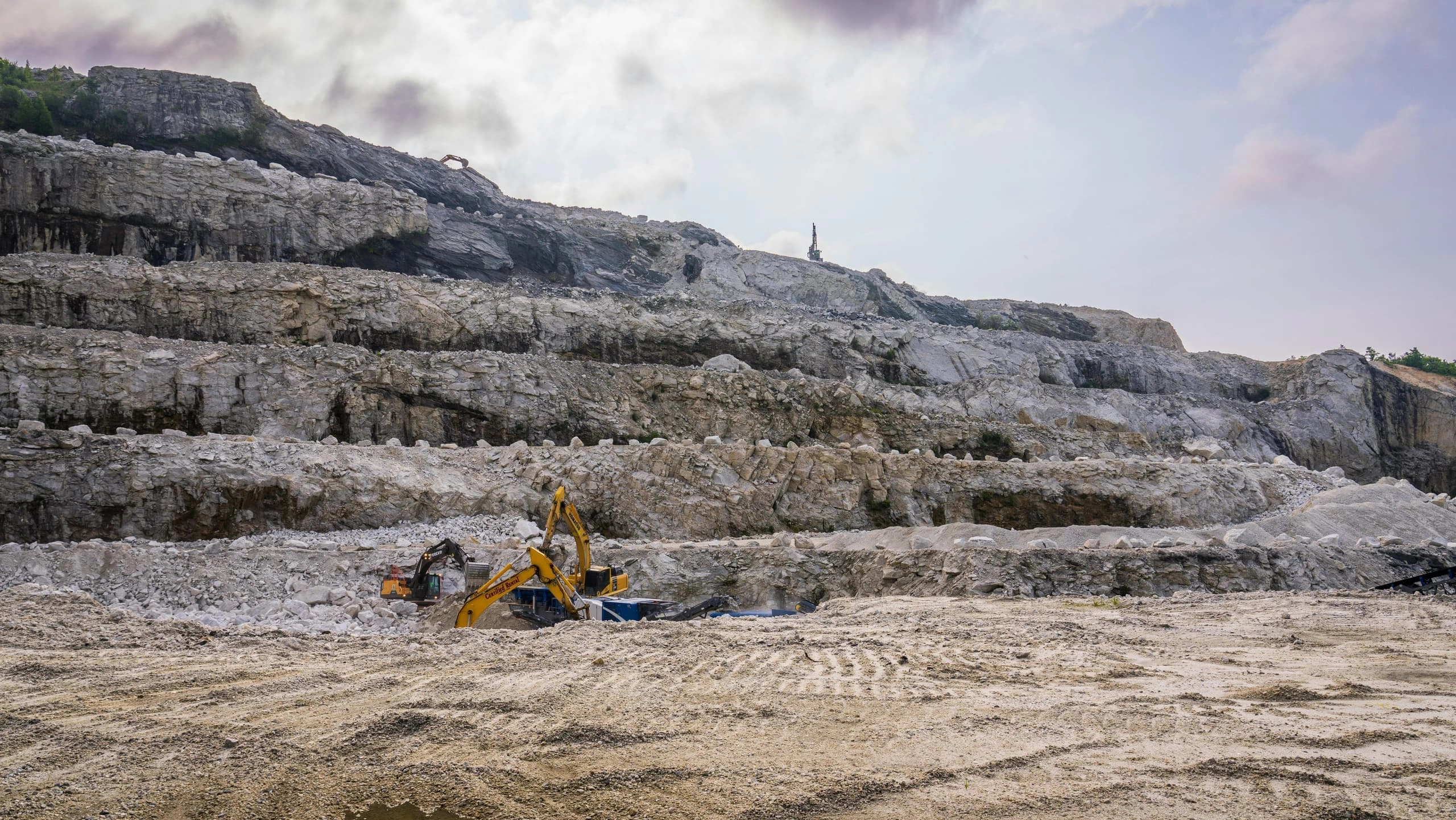
The problem
Exploration, operations, compliance and the board all work from different evidence. Drone surveys, ad-hoc aerial flights and site visits produce patchy records that don’t scale across a portfolio.
The Terrabit approach
Terrabit gives every team the same dataset: analysis-ready imagery, elevation models and analytics, delivered straight into your GIS or through our Albatross platform. One source of truth from exploration to rehabilitation.
Lifecycle
Three pillars - each matched to the sensors, cadence and analytics that actually answer the question.

01
Multispectral and high-resolution optical imagery to map alteration signatures and focus ground programmes on the strongest targets. Hyperspectral coverage is available where deeper mineral discrimination is needed.
02
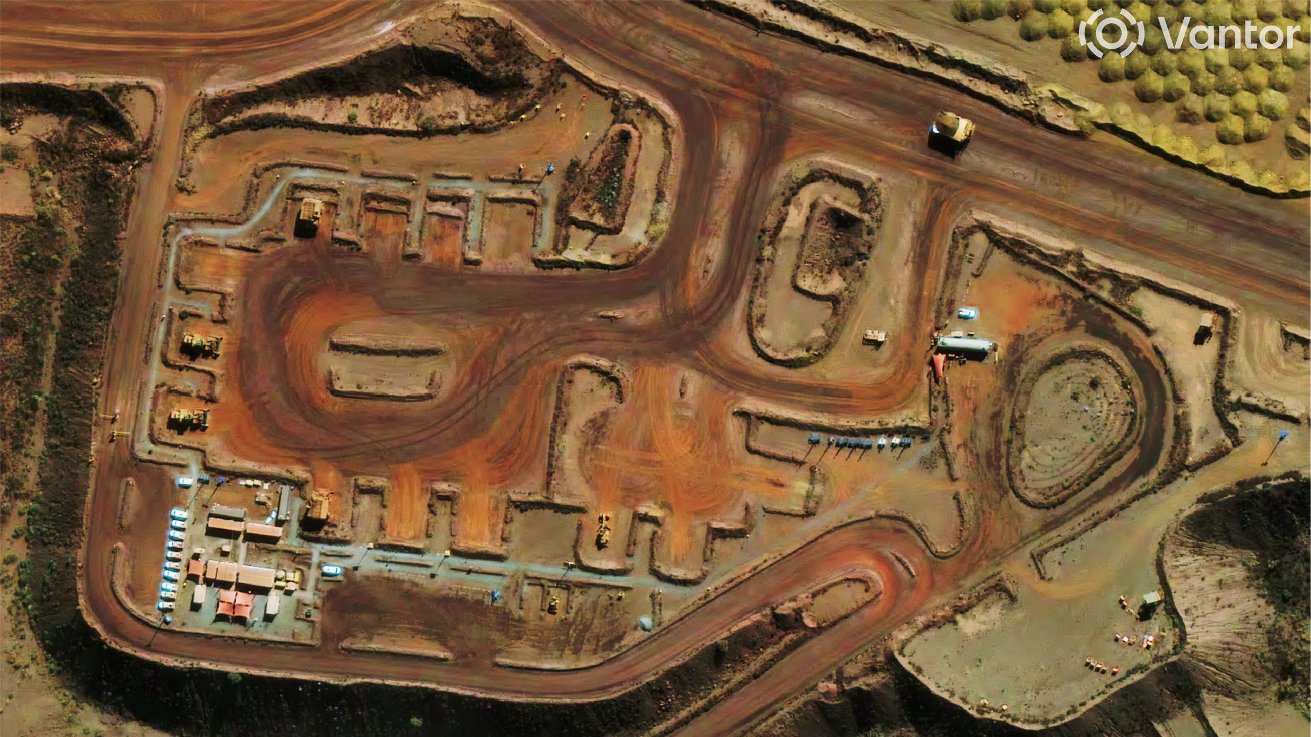
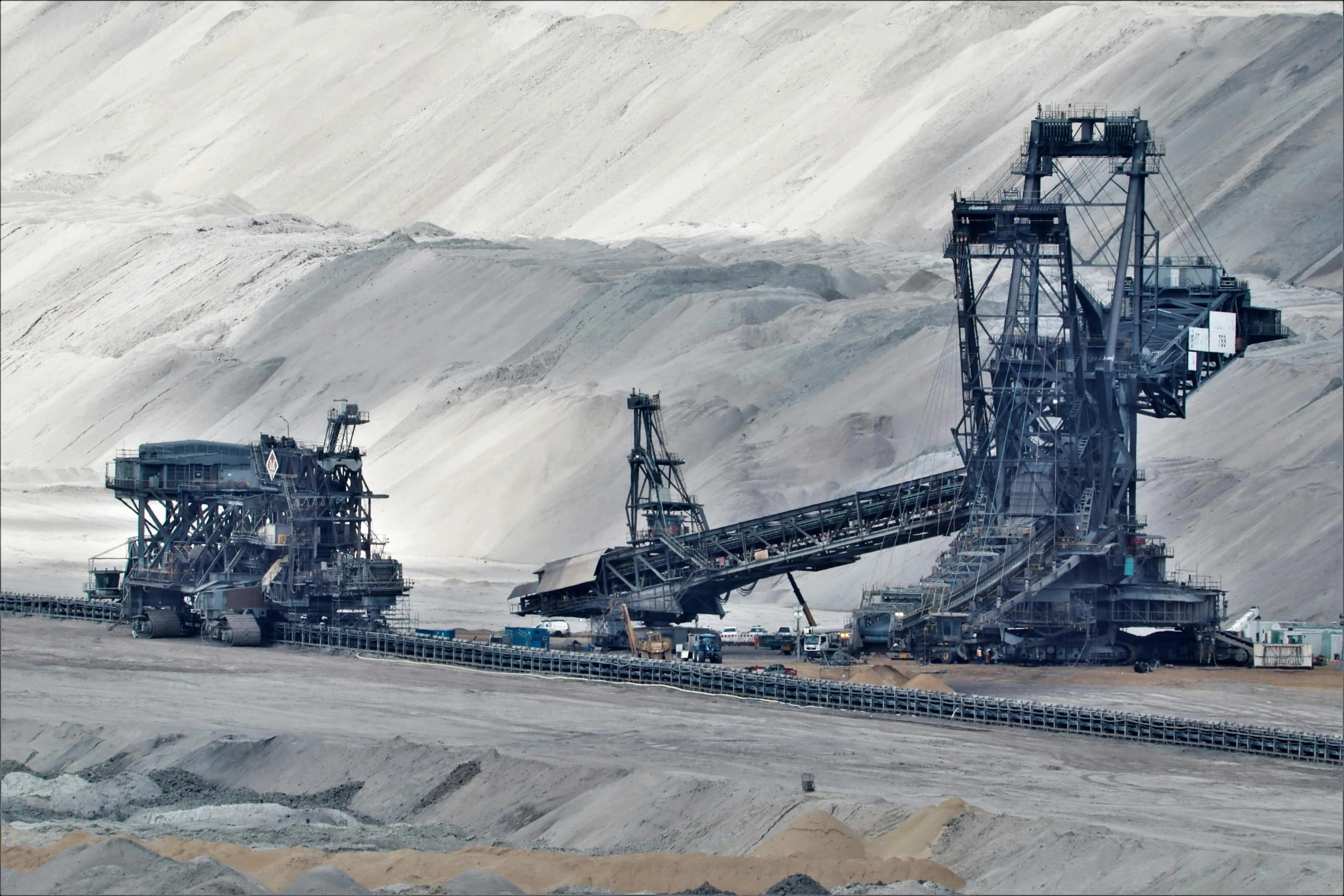
Scheduled imagery to track change on pits, haul roads and infrastructure, with elevation models for volumes and digitisation layers, delivered straight into your GIS.
03
Vegetation health indices tracked over multi-year time series to quantify rehabilitation recovery, giving you defensible evidence for ESG and JORC-aligned reporting.
Where mining evidence tends to break
Drone, aerial and ground surveys each record sites differently, so there is no single view across the portfolio.
Change on pits, stockpiles and tailings is caught after the fact, not while it develops.
Evidence packs for regulators, insurers and boards take weeks to assemble from scattered sources.
Vegetation recovery is surveyed only sporadically, so multi-year compliance claims are hard to defend under audit.
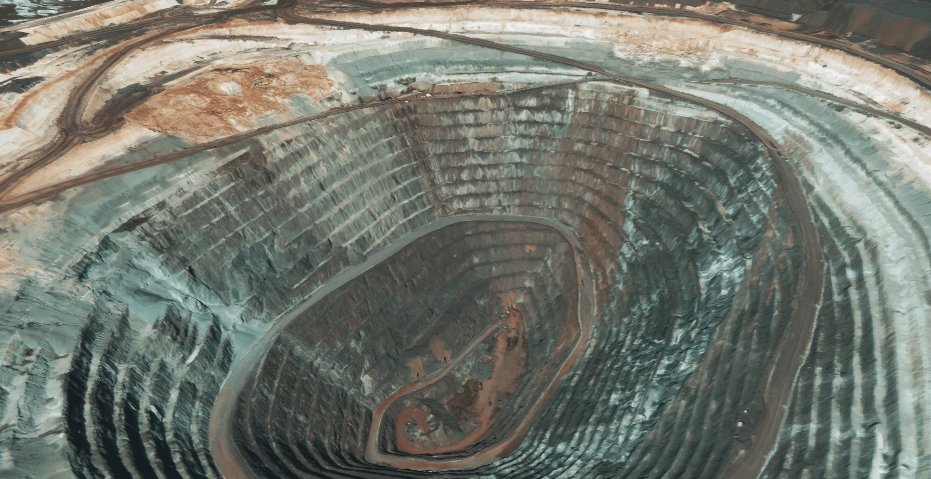
High-resolution commercial optical, pansharpened and atmospherically corrected for asset-level detail.
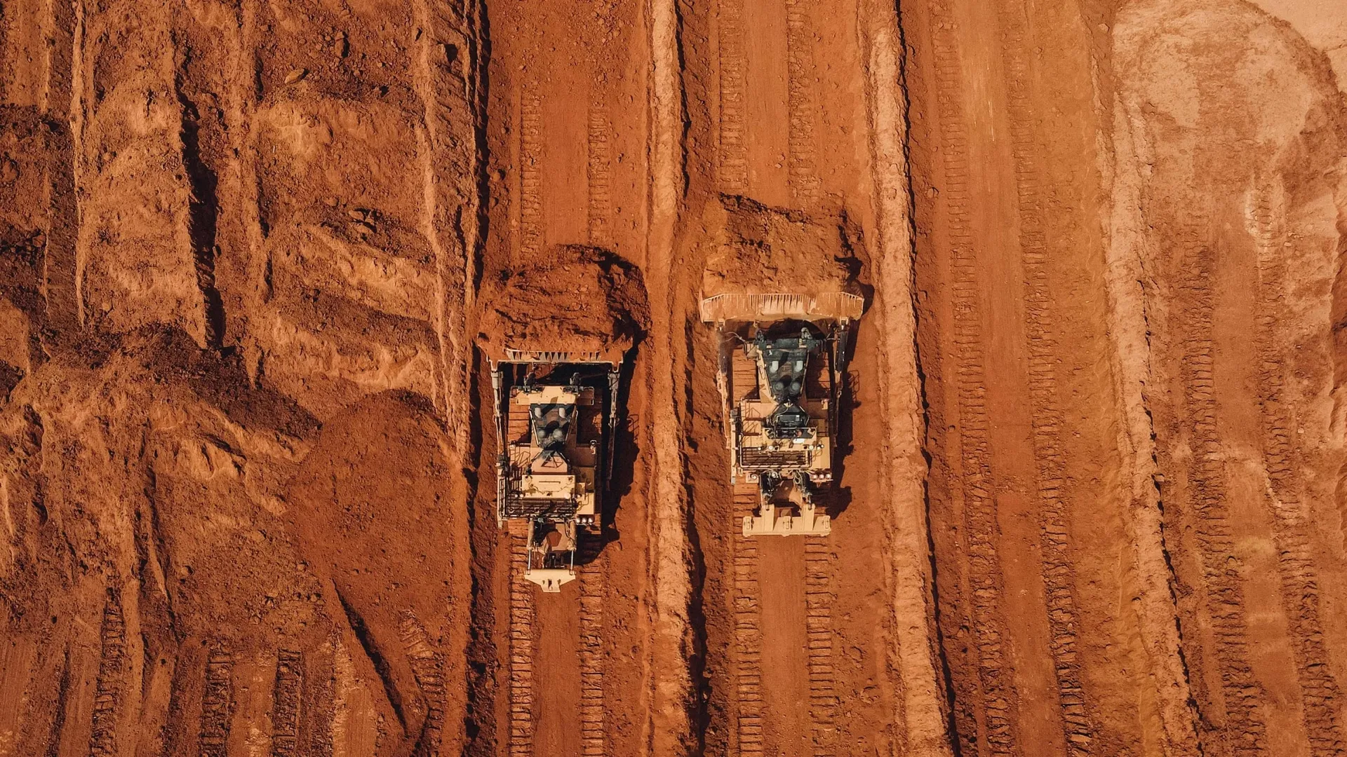
Stereo-derived digital surface models for pit and stockpile volumetrics.
Priority tasking through to scheduled archive - same area, same provenance, every capture.
Analysis-ready data (ARD) - colour-balanced, orthorectified to control, mosaicked and ATCOR-corrected - direct support to ArcGIS, QGIS, S3, SFTP or Albatross.
Optical imagery
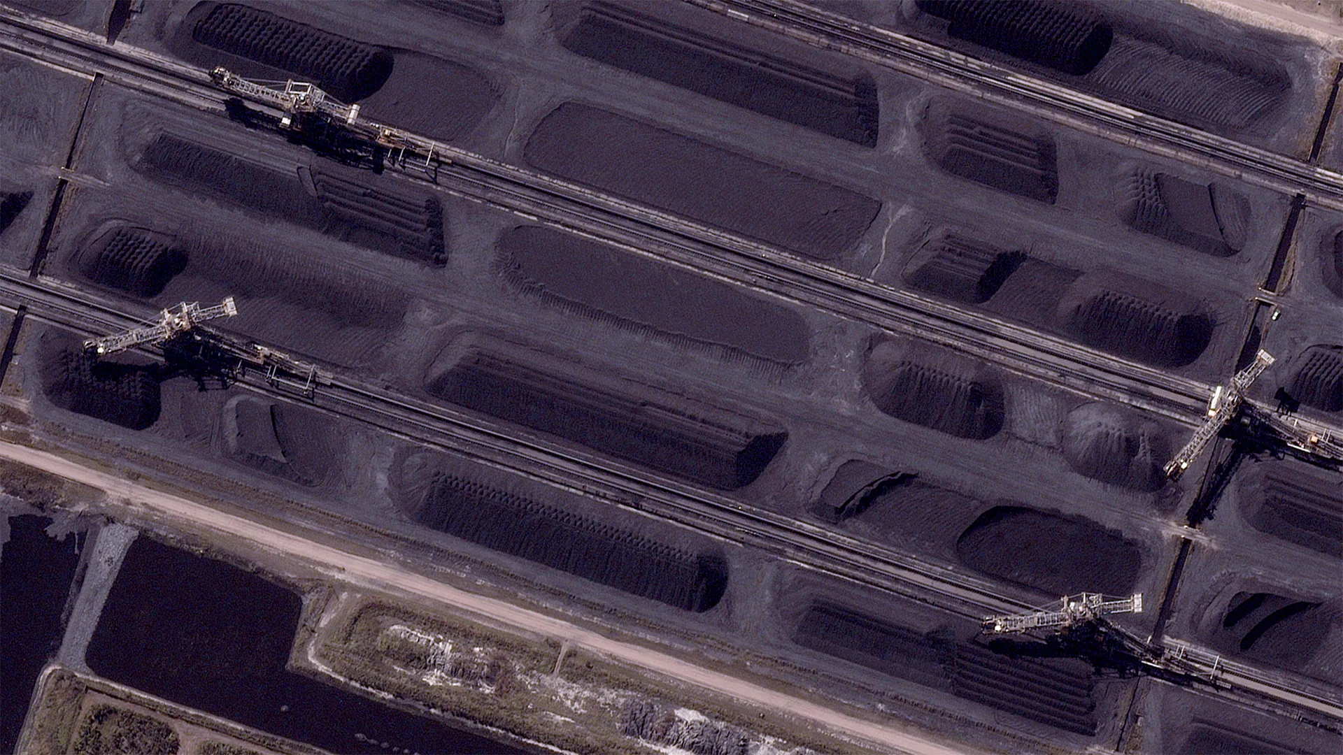
Stockpile reshape
Volume change, material movement and infill between capture dates.
Haul-road progression
New alignments, widening and maintenance cycles across the site.
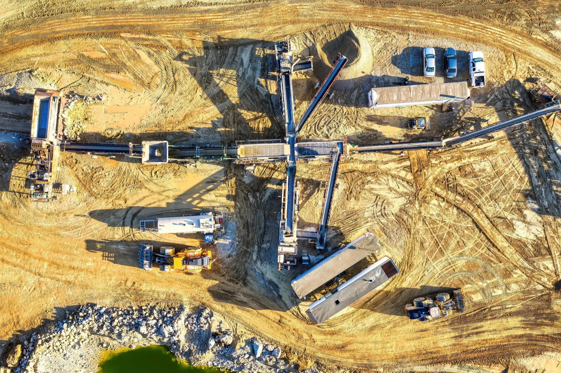
Infrastructure build-out
Conveyor, pad, process-plant and accommodation-camp change.
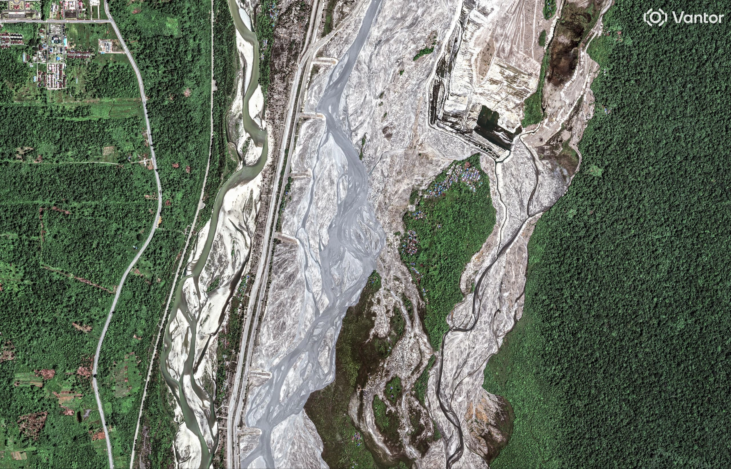
Environmental encroachment
Vegetation disturbance and water encroachment.
Capabilities
Multispectral and high-resolution optical imagery across your tenure, with hyperspectral coverage where alteration mineralogy needs deeper discrimination. Archive stacks and targeted new captures narrow ground programmes to the highest-probability copper, gold, lithium and rare-earth targets.
Scheduled imagery tracks change across haul roads, infrastructure and disturbance. Paired with feature extraction, it refreshes base maps and digitises site assets into GIS-ready layers your team already uses.
Vegetation indices such as NDVI, derived from open-data archives and high-resolution capture, quantify recovery against regulatory baselines across years, not site visits - timestamped, reproducible evidence for ESG and JORC reporting.
Routine optical change detection over high-walls, tailings and infrastructure, with all-weather radar where geotechnical questions need ground-deformation measurement between inspections.
In the data
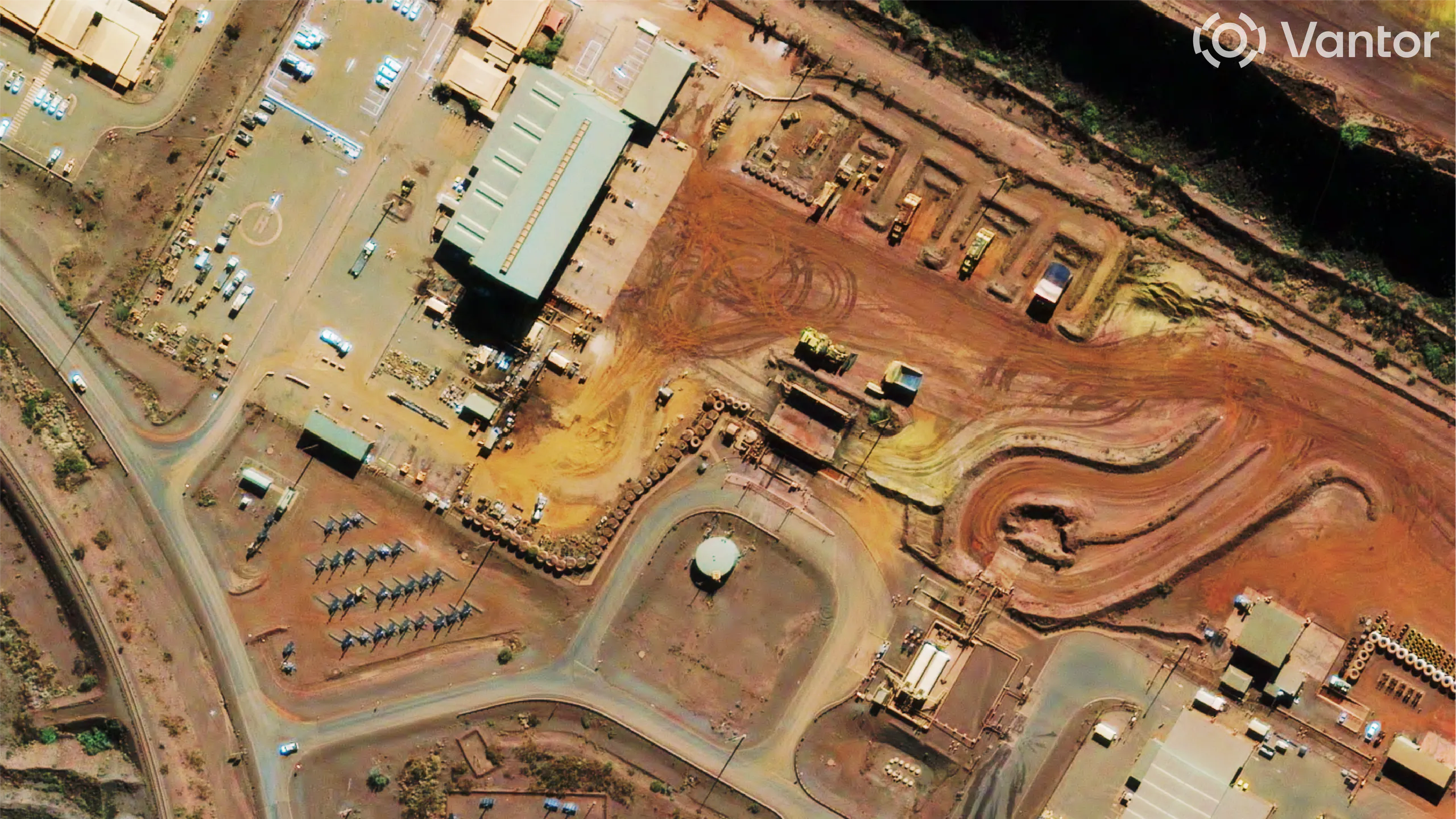
High-resolution optical · WorldView-Legion
Optical · mine site high-res
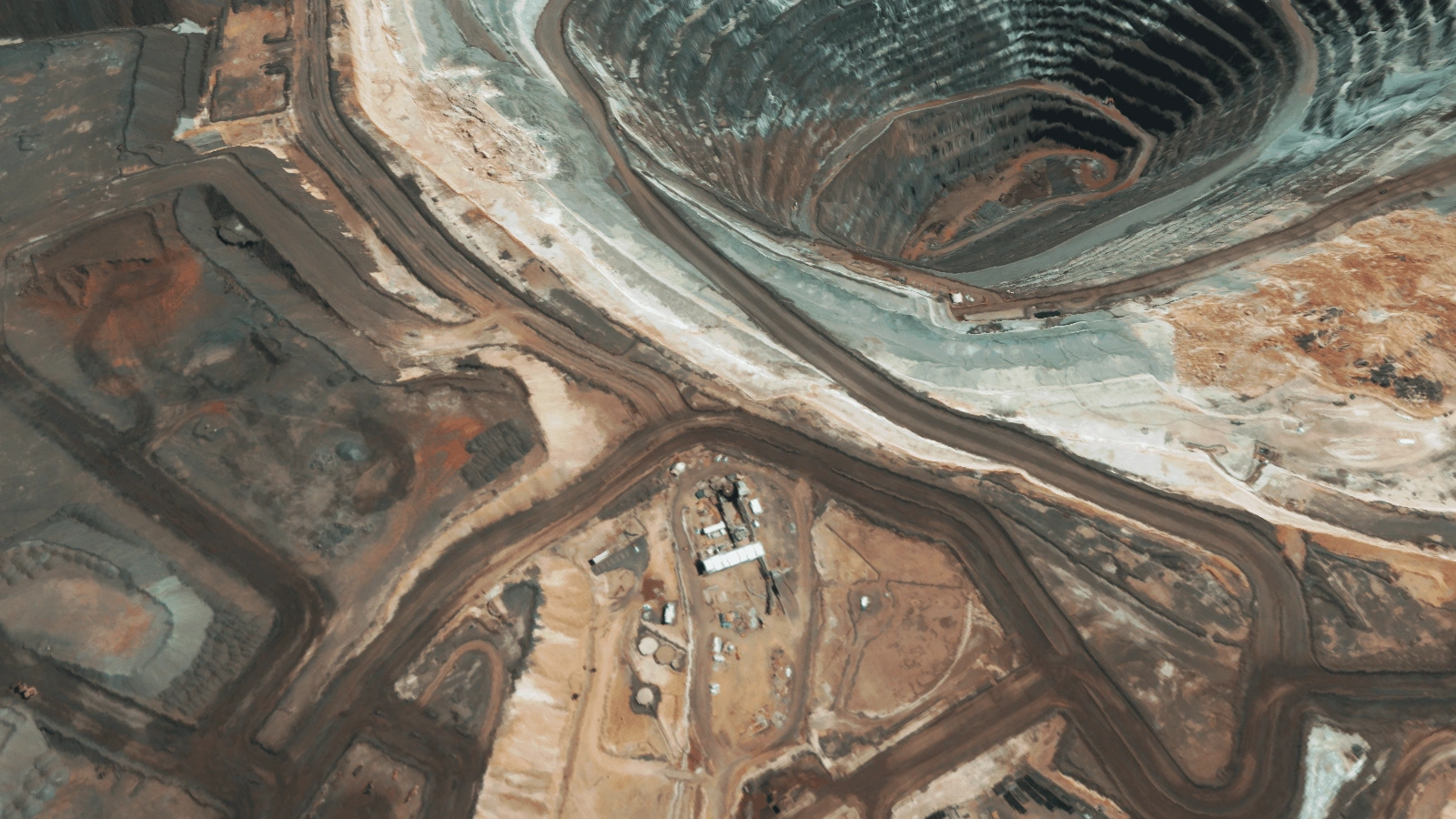
Stereo-derived · 0.5m DSM
Elevation · pit & stockpile volumetrics
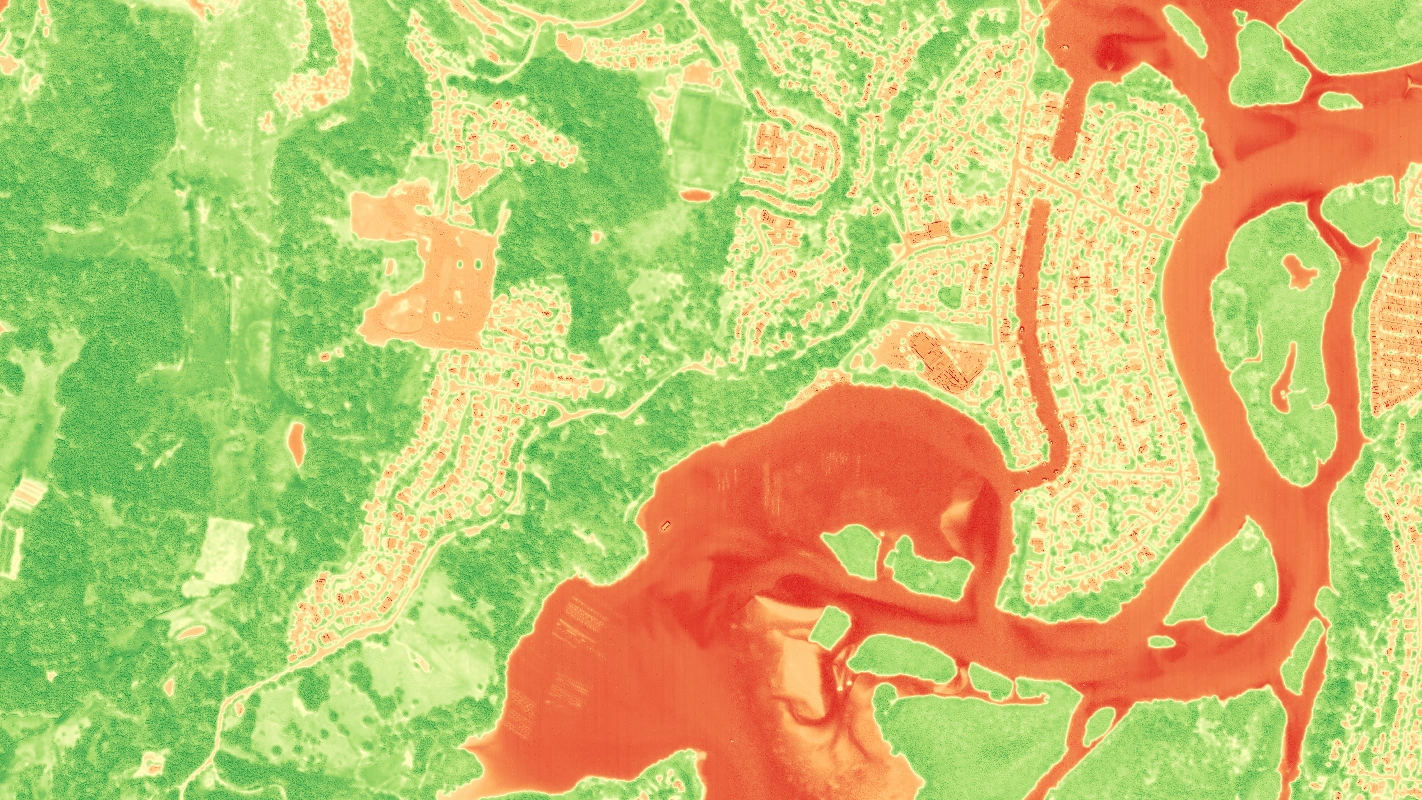
NDVI · WorldView-Legion · Tweed NSW
NDVI · NSW environmental monitoring
Data & methods
Every capture arrives fully processed - colour-balanced, orthorectified, atmospherically corrected and pansharpened - so it slots straight into your workflow. Specialised data follows where the question needs it.
How it works
Same pipeline. Same provenance. Every site, every stage.
Platform
Coordinate imagery, elevation and specialised data tasking across every site and stakeholder, with centralised budgets, reporting archives and multi-user access.
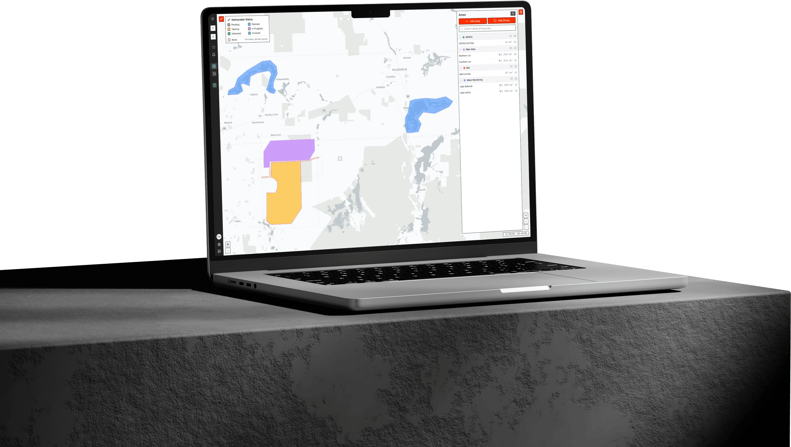
Albatross is where your whole portfolio orders and manages satellite data. Submit tasking, approve budgets, track deliveries and keep a defensible audit trail, all in one platform built for distributed mining operations.
Products
Products
Analysis-ready optical and multispectral commercial imagery - colour-balanced, orthorectified, pansharpened and atmospherically corrected - for exploration, operations, digitisation and rehabilitation.
Products
DEM, DSM and DTM products from 0.5m to 5m resolution for stockpile and pit volumetrics, haul and drainage planning, site design and ground baselines.
Talk to the team about analysis-ready imagery, DEMs and analytics for your operation, delivered ready to use in your existing workflow.