Satellite imagery is now a standard tool across mining, infrastructure, environmental monitoring, government and energy projects. Modern commercial constellations provide sub-metre resolution, daily revisit capability and multispectral data across the entire globe, making it possible to monitor almost any location remotely.
Despite this accessibility, many organisations still make avoidable mistakes when sourcing or using satellite imagery. These mistakes rarely come from the technology itself. They usually come from misunderstanding resolution, ordering the wrong product type, missing archive availability or choosing processing and formats that do not work on internal software.
In real projects, these issues can lead to unnecessary cost, delays in delivery, unusable data or imagery that does not answer the question it was purchased for.
This guide covers the most common satellite imagery mistakes we see across professional workflows, why they happen and how to avoid them.
Choosing the Wrong Resolution
Resolution is the most misunderstood aspect of satellite imagery. Users often assume the highest resolution available is always the best option, but in practice the correct resolution depends entirely on the size of the features you need to identify.
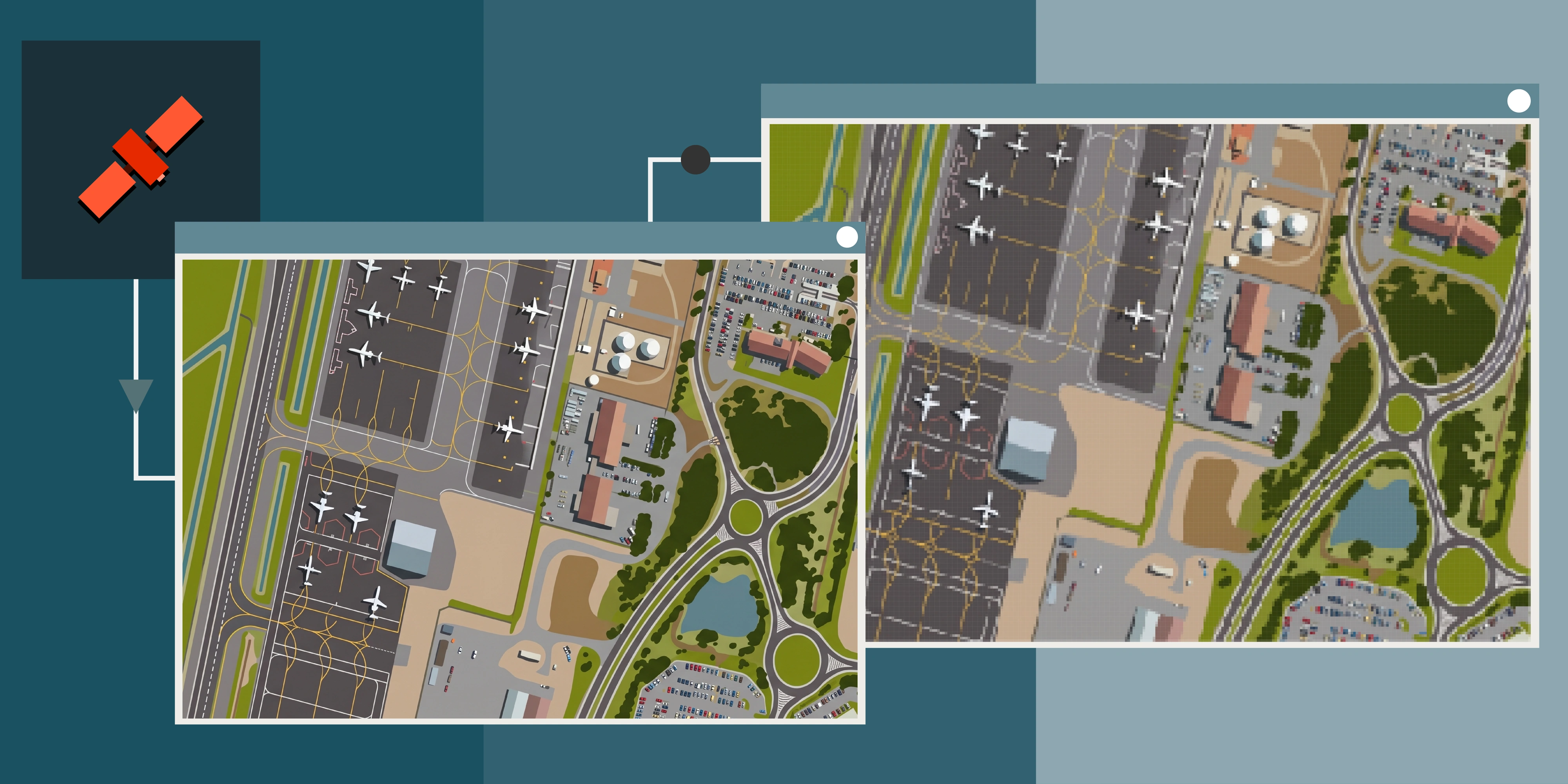
Resolution, also called Ground Sample Distance (GSD), describes the size of one pixel on the ground. A 30cm image means each pixel represents an area 30cm x 30cm, whereas 50cm would be 50cm x 50cm.
Higher resolution increases detail, but it also increases cost, file size and processing time. Sometimes 50cm is just as useful as 30cm.
10m multispectral
50cm high resolution
Typical resolution tiers used in commercial satellite imagery are shown below.
Selecting the correct resolution should start with the question: what do I want to identify or see in the imagery? Our guide to satellite imagery quality works through the other factors that affect how usable a capture is.
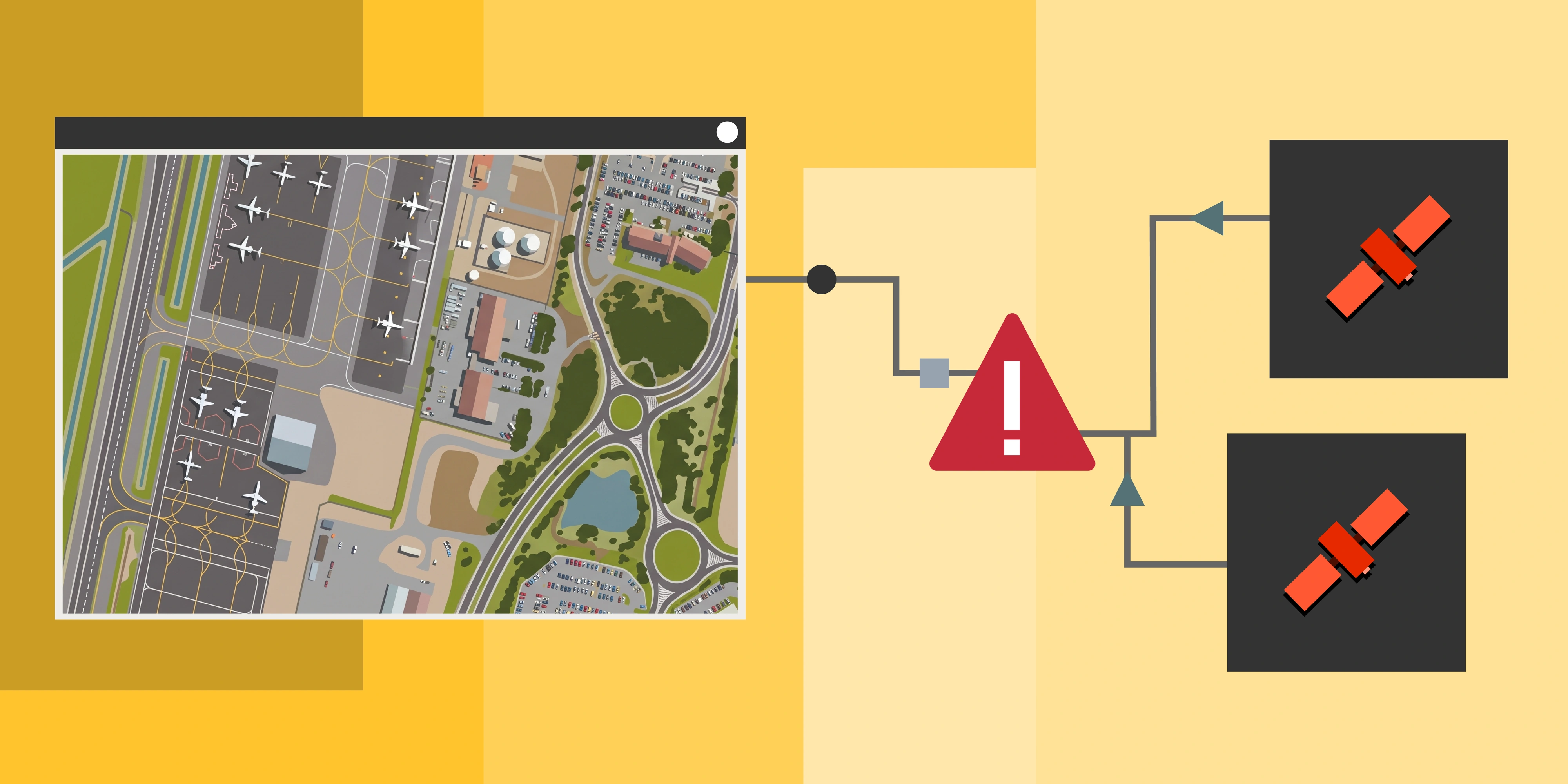
Ordering New Tasking Without Checking Recent Archive
Another very common mistake is requesting a new satellite capture when suitable imagery already exists.
Commercial satellite operators maintain extremely large archives, and much of Australia has already been captured multiple times in the last year at 30cm and 50cm resolution. Archive imagery is typically faster to deliver and less expensive, because the data has already been collected.
Tasking should be used when a specific capture date or a particular resolution is required, but we always recommend checking the archive first, or asking the provider to do so.
An archive-first workflow is usually a smart and quick check before committing to a fresh capture. Our comparison of archive vs tasking covers the trade-offs in more detail.
Ignoring Cloud Cover and Acquisition Conditions
Satellite imagery is captured through the atmosphere, and weather conditions have a direct impact on image quality. Cloud cover is the most common reason that tasking requests fail or are delayed.
This is particularly important in tropical regions, coastal areas and during wet seasons. A satellite may pass over a location on schedule but still be unable to capture a usable image due to cloud, haze or smoke.
Users sometimes assume that tasking guarantees a capture on a specific date, but in reality most acquisitions occur within a collection window rather than at an exact time. Modern satellite constellations are increasing revisit frequency, with some locations now observable multiple times per day, however cloud cover remains a limiting factor for optical satellites and can still delay successful collection.
Successful ordering depends on setting realistic constraints, including acceptable cloud percentage, look angle limits and acquisition windows. High-revisit constellations reduce risk because multiple passes are available, increasing the chance of a clear scene.
For urgent monitoring, revisit frequency often matters more than resolution. A 50cm capture today usually beats a 30cm capture next month. See how often satellite imagery is updated and urgent satellite tasking in Australia.
Treating Every Order as a One-Off Purchase
Satellite imagery works best when it is used as part of a planned workflow rather than as individual scene purchases.
Many projects begin with a single image request but later require additional captures for reporting, compliance or change detection. Ordering imagery one scene at a time often results in inconsistent data, because different acquisitions may come from different sensors, angles or seasons.
Consistency is critical when comparing images over time.
Baseline capture, 2024
Repeat capture, 2025
Planning a monitoring program at the start of a project usually produces better results than ordering imagery as new requirements appear.
Requesting the Wrong File Format
Satellite imagery can be delivered in several formats, and the correct choice depends on how the data will be used and what software you have. Selecting the wrong format can make files difficult to open, slow to load or unnecessarily large.
Some formats are designed for analysis, while others are designed for visualisation or web delivery.
GeoTIFF, no compression
COG, JPEG compression
ECW, 15:1 compression
Understanding how the imagery will be used before ordering avoids the need for additional formats later. Our COG, GeoTIFF, ECW and WMTS comparison breaks down the differences with worked file sizes.
Not Confirming Processing Level
Not all satellite imagery products are delivered at the same processing level. Raw imagery must be corrected before it can be used for mapping or analysis.
If imagery is not orthorectified to previous data or control, it may not align with existing GIS layers or survey data. This can cause problems in engineering, compliance and environmental reporting workflows.
Typical processing levels include raw, ortho-ready, orthorectified and analysis-ready products. For most professional applications, orthorectified imagery in a known coordinate system should be requested, unless you have pre-processing software and the ability to run it.
Checking the processing level, or what your provider will deliver, before ordering ensures the data will integrate correctly with existing datasets. Our guide to pre-processing satellite imagery explains what each correction step actually does.
Expecting Satellite Imagery to Replace All Survey Methods
Satellite imagery provides wide-area coverage, frequent updates and high spatial detail, but it does not replace every type of survey.
Some users expect satellite data to achieve the same accuracy as aerial LiDAR or ground survey, which can lead to unrealistic expectations.
Satellite imagery
Satellite derived terrain model
Satellite imagery is best suited to monitoring, mapping and change detection across large areas. It is less suitable for engineering set-out, millimetre-level measurement, or dense vegetation terrain models.
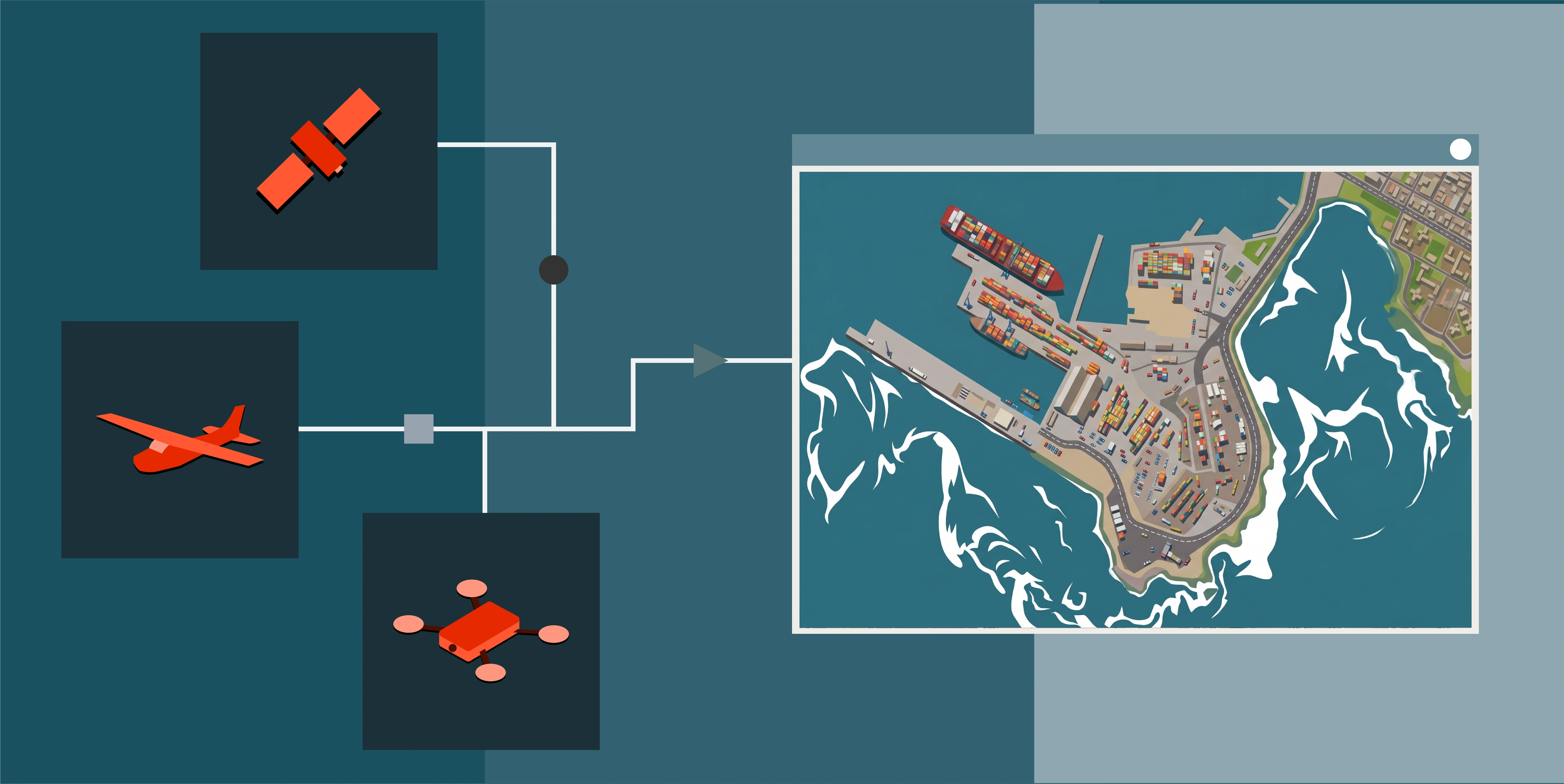
Choosing the correct data source for the required accuracy avoids unnecessary cost and disappointment. Our Earth Observation guide compares satellite, aerial, LiDAR and drone data side by side.
Ordering RGB and NIR Only When Additional Bands Could Add Value
Satellite imagery is often delivered as natural colour with a standard 4-band set (Red, Green, Blue and Near Infrared), which is sufficient for visual interpretation and basic analysis. However, many commercial satellites capture additional spectral bands that enable more advanced environmental and analytical workflows.
Natural colour (RGB)
Colour infrared (NIR)
Extended multispectral imagery can support calculations such as vegetation indices, moisture mapping, burn severity assessment, soil and mineral discrimination and other spectral classification techniques. If only the standard 4-band product is ordered, these types of analysis may not be possible later without sourcing a different dataset.
For projects involving environmental monitoring, agriculture, mining compliance, research or land management, ordering the full multispectral band set (typically 8 bands) from the start provides greater flexibility. Even if the immediate requirement is only RGB visualisation, having access to the additional bands ensures the data can support future analysis without needing to re-task or re-order imagery. See what multispectral imagery is and our guide to band combinations and indices for what each band actually enables.
Working Without a Satellite Data Strategy
The most common problem is not technical. It is ordering imagery without a clear plan for how the data will be used.
Without a defined workflow, organisations often purchase the wrong resolution, duplicate orders, or lose track of previous imagery. Over time this becomes expensive and difficult to manage.
A simple data strategy should define:
- Purpose: what the imagery needs to show or prove
- Frequency: how often updates are needed
- Accuracy: what standard the output has to meet
- Delivery: format, projection and processing level
- Users: who will access the data and through what software
Centralised ordering platforms and data catalogues help maintain consistency and ensure imagery can be reused across projects.
Avoiding These Mistakes
Most satellite imagery issues occur before the order is placed. Defining the objective, checking archive coverage, selecting the correct resolution and confirming format and processing level will prevent the majority of problems.
Satellite imagery should simplify decision-making, not complicate it.
Working with a provider that understands both the technology and the industry application makes a significant difference, particularly for projects that require repeat monitoring, multispectral analysis, or integration with GIS and engineering workflows.
Terrabit supports organisations across Australia with archive imagery, urgent tasking, monitoring programs, multispectral data, DEM generation and format optimisation through the Albatross platform, ensuring that imagery orders match the real requirements of the project rather than assumptions about the technology.