October 7, 2026/11 MIN READ Route Selection for Roads, Rail, Pipelines and Powerlines
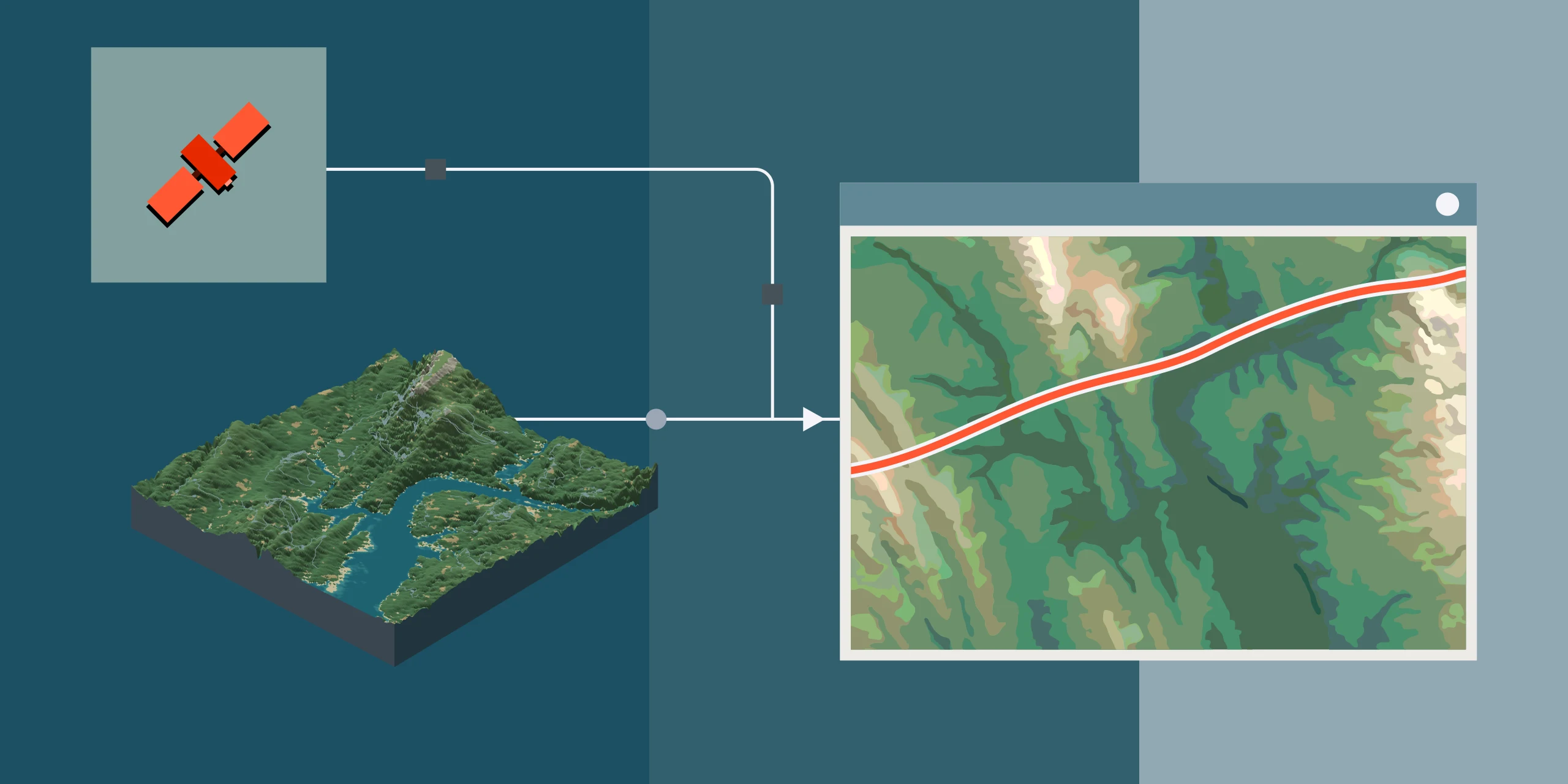
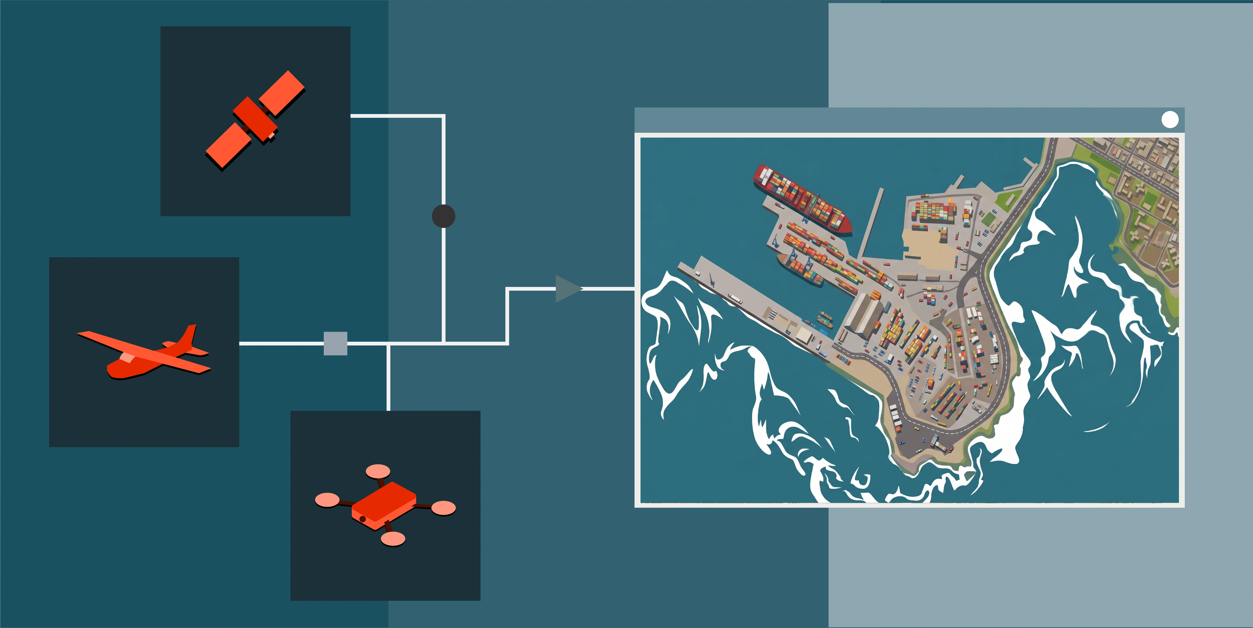
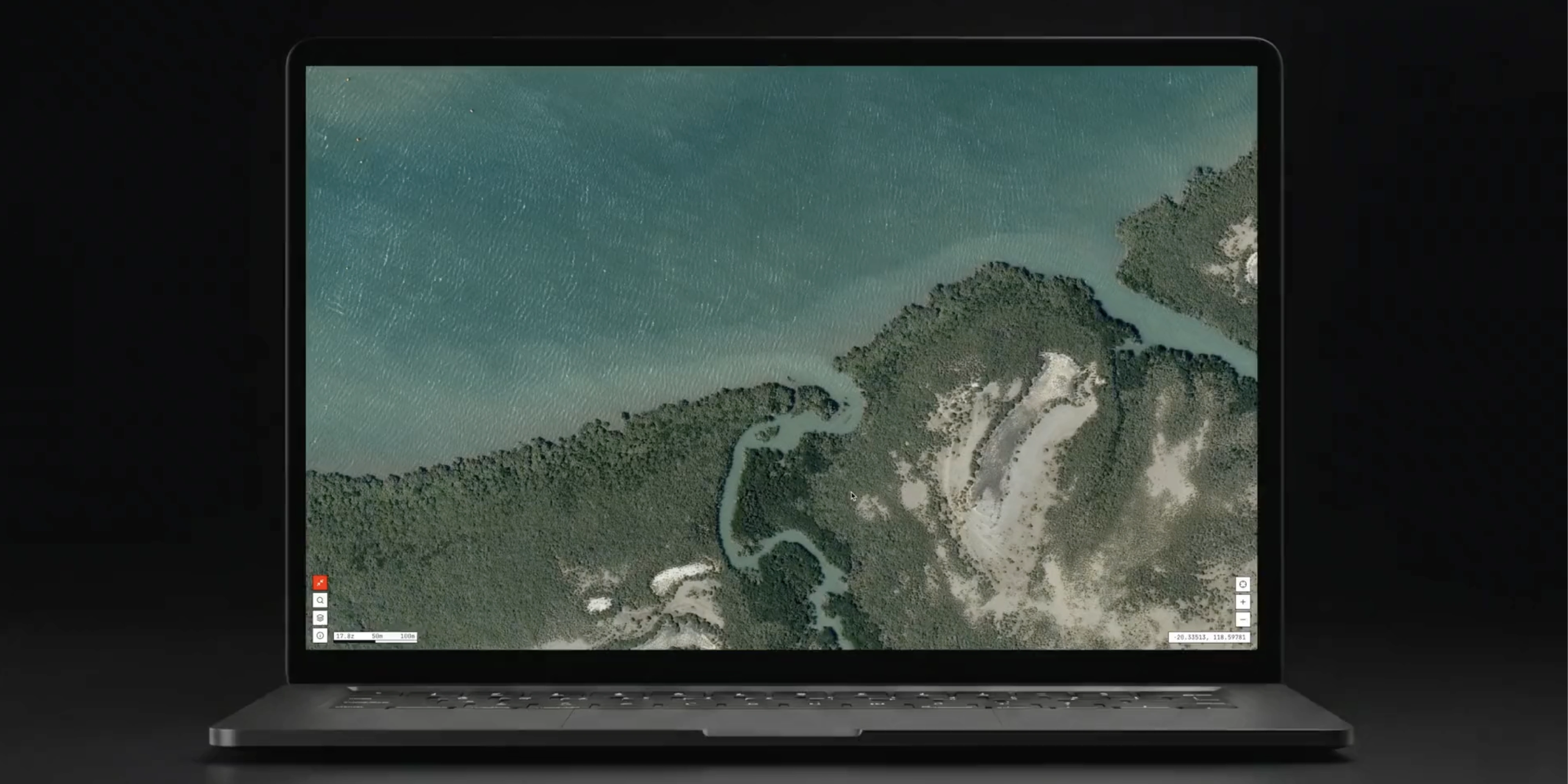
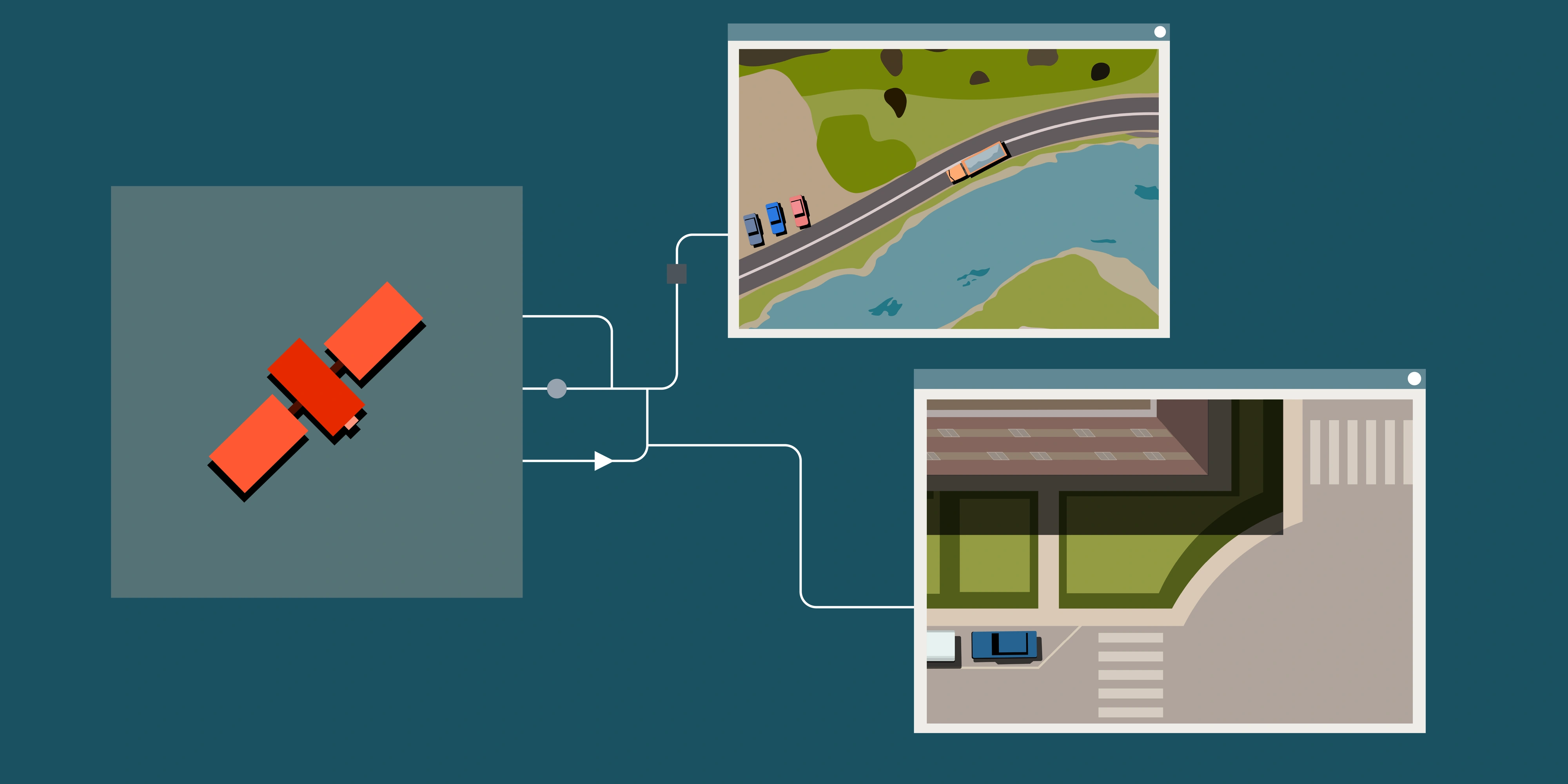
How engineering teams use 30cm satellite imagery and satellite-derived terrain models to compare road, rail, pipeline and powerline route options at desktop stage, before committing to LiDAR and field survey.
#Guides#Industry Solutions