Introduction: The Right Image, Right on Time
In the fast-paced world of spatial analysis, timing is everything. Whether you are monitoring land disturbance, supporting emergency response, or tracking infrastructure development, success often hinges on receiving the right imagery at the right moment. At Terrabit, one of the most common questions we field is simple: should I use archive imagery, or should I task a fresh satellite acquisition? The answer depends on your objectives, timelines and budget and understanding the difference can save you both time and resources.
Archive imagery delivers speed and value. Tasking delivers currency and control. Knowing which lever to pull keeps your project on timeline.
What Is Archive Imagery?
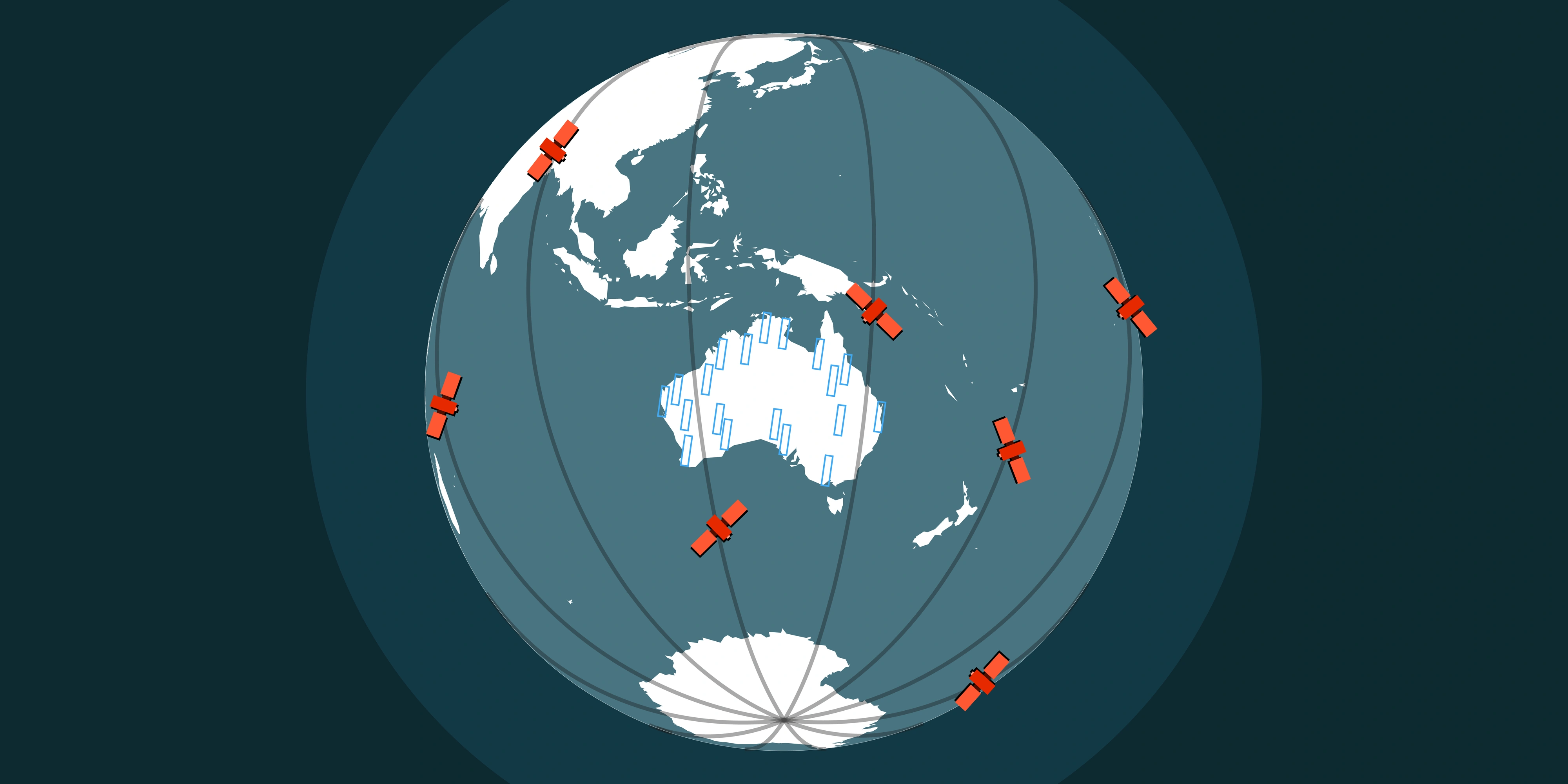
Archive imagery refers to satellite captures that already exist within a provider’s catalogue. Most major satellites - such as those operated by Vantor, SIIS, Wyvern and Blacksky - maintain extensive image archives covering years of global data.
- Speed and responsiveness: Rush deliverables arrive within hours; premium processing typically lands in a few days.
- Cost efficiency: Pricing is lower than new taskings, making archives ideal for baselines, change detection and retrospective analysis.
- Immediate availability: Quickly validate assumptions during proposal stages or stakeholder briefings without waiting on new captures.
When archive imagery excels
Pre-visit reality check
Turn to archive imagery when slightly older captures still answer the brief, when you need to stretch budgets further, or when you want rapid situational awareness before heading on site.
Historical and compliance reviews
Lean on historical scenes for baseline environmental studies, tender submissions, ESG reporting and long-term asset change reviews where broader context matters more than sub-24-hour recency.
What Is Tasking or Fresh Capture?
Tasking (also called fresh capture), on the other hand, means commissioning a satellite constellation to capture a new image over your specific area of interest. You set the parameters - spatial resolution, cloud cover thresholds, off-nadir limits, acquisition priority and even time-of-day preferences - so the resulting scene is tailored to your brief. While tasking does come at a higher cost and requires some lead time (days to weeks before processing), it ensures the imagery is tailored exactly to your needs.
- Currency and control: Perfect for construction progress, disaster assessment, mine rehabilitation reporting and any workflow needing the latest conditions.
- Quality assurance: Define acceptable cloud thresholds and revisit windows, ensuring you receive usable imagery aligned to regulatory or operational standards.
- Specialised outputs: Order stereo pairs, hyperspectral captures or targeted spectral bands to support advanced analytics across vegetation health, material identification or volumetrics.
Balancing Urgency, Budget and Coverage
Most imagery decisions boil down to three levers; Urgency, Budget and Coverage. Use the quick comparison below to frame your next request.
| Factor | Archive Imagery | Tasking |
|---|---|---|
| Urgency | Delivery in hours or days for rapid assessments. | Lead times of days to weeks depending on weather, orbit and priority. |
| Budget | Lower cost makes retrospective and wide-area studies viable. | Premium pricing reflects guaranteed capture and quality control. |
| Coverage | Dependent on prior satellite passes; some AOIs may lack cloud-free scenes. | Configure for precise AOIs, revisit cadence and spectral products. |
Use cases at a glance
- Archive imagery: Baseline mapping, feasibility studies, historical compliance evidence.
- Tasking: Incident response, MRF reporting, construction tracking, near real-time decision support.
Hybrid Workflows Deliver the Best of Both
- Start with archive to validate KPIs, identify gaps and inform budgets.
- Layer in taskings for critical assets or time-sensitive milestones.
- Monitor via tags using Terrabit’s platform to trigger follow-up collections when thresholds or SLAs are breached.
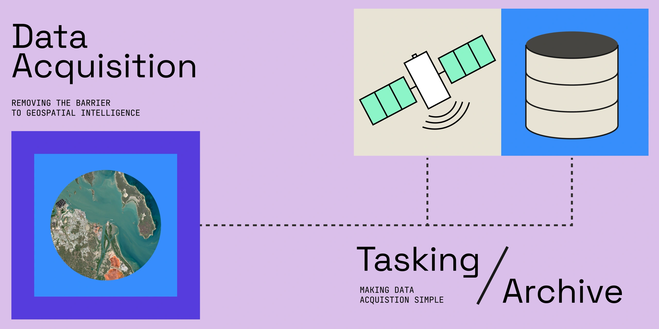
How Terrabit Helps You Decide
At Terrabit, we guide clients through this decision every day. Our team evaluates your area of interest and use case, reviews available archive options across multiple providers and compares them against tasking feasibility and forecasted cloud conditions. This ensures you get the most efficient solution - one that aligns with your project’s objectives and timelines. With direct access to leading global satellite operators, we make it simple to move from data discovery to delivery - whether it’s a rush archive or a premium quality tasking campaign.
Need to brief stakeholders? Pair this guide with the Complete Guide to Buying Satellite Imagery or explore live constellations on the Satellites hub.
Conclusion: The Smart Choice for Time-Sensitive Projects
When project timelines are tight, every hour matters. Knowing when to use archive imagery versus when to invest in a new tasking acquisition can dramatically affect both outcomes and budgets. By partnering with Terrabit, you gain access to the expertise and tools to make that choice with confidence - ensuring you always have the right image, right on time.
Ready to unlock near real-time satellite monitoring or fine-tune your imagery procurement workflow?