Terrabit insight: The accuracy of any downstream analytics hinges on the quality of the pre-processing pipeline that prepares your imagery.
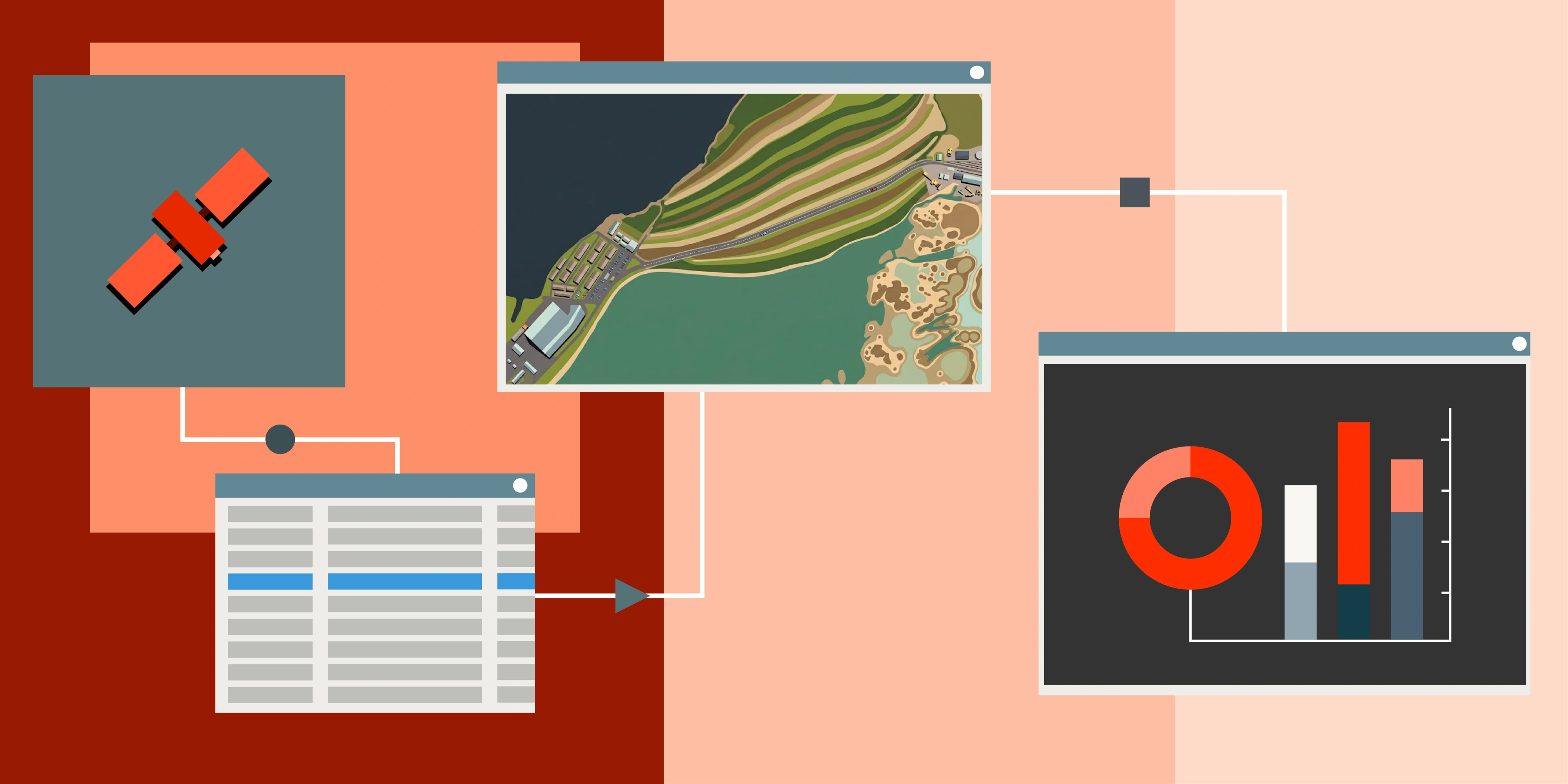
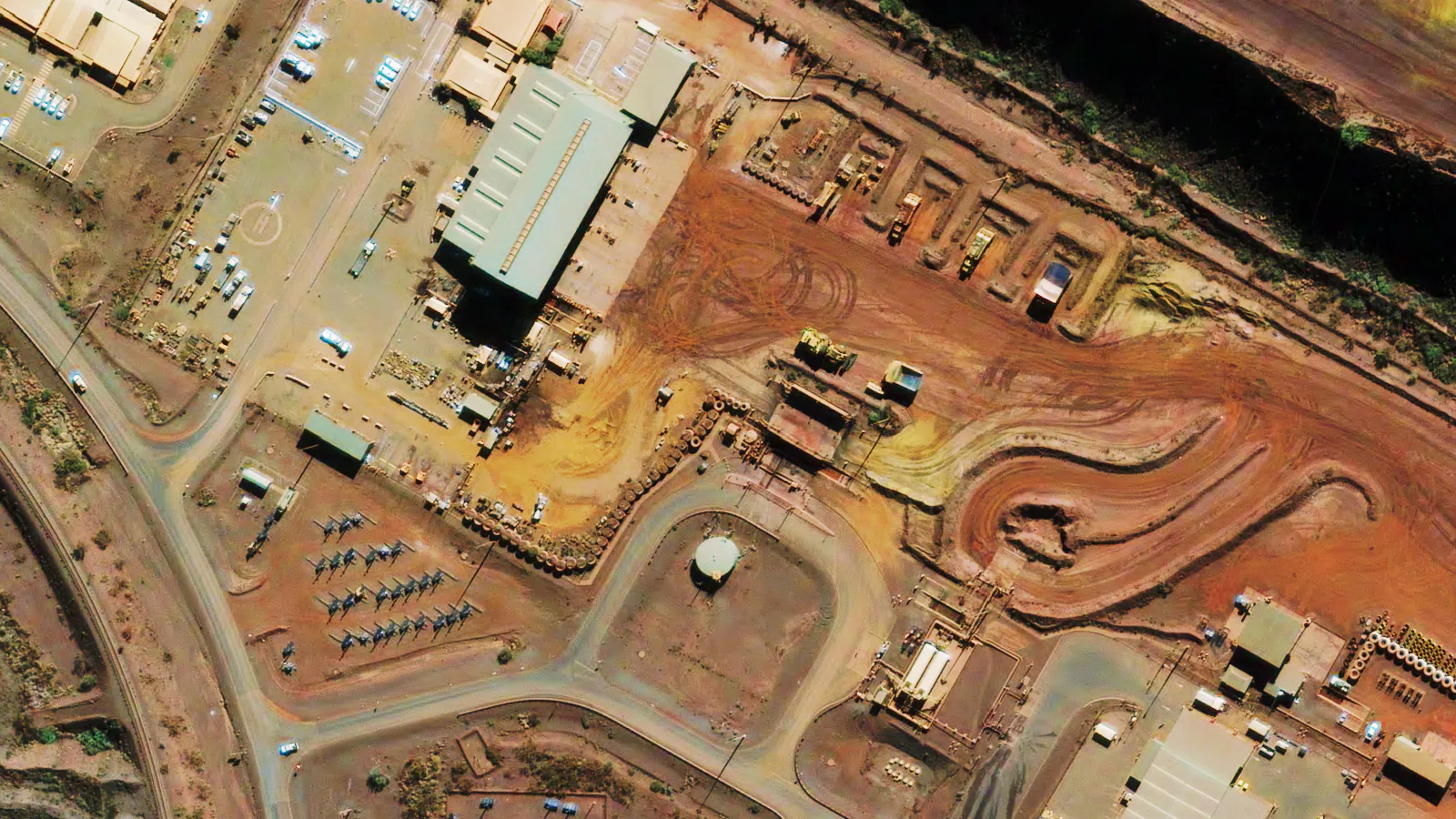
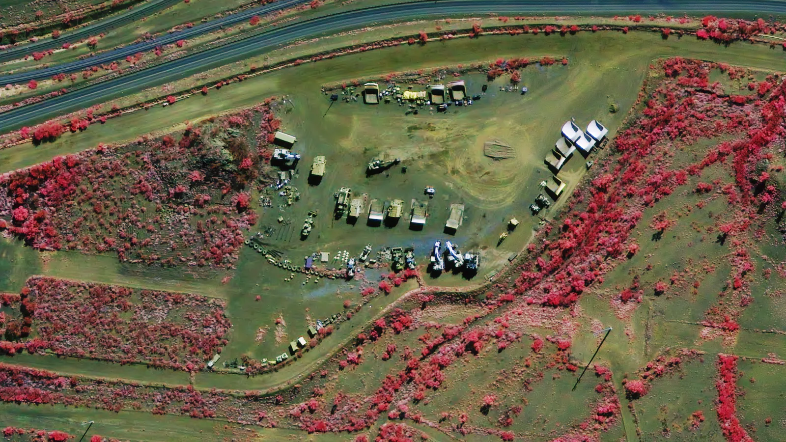
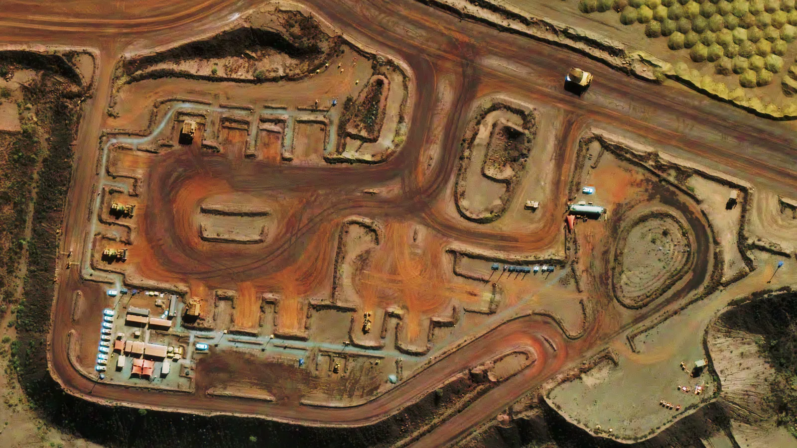
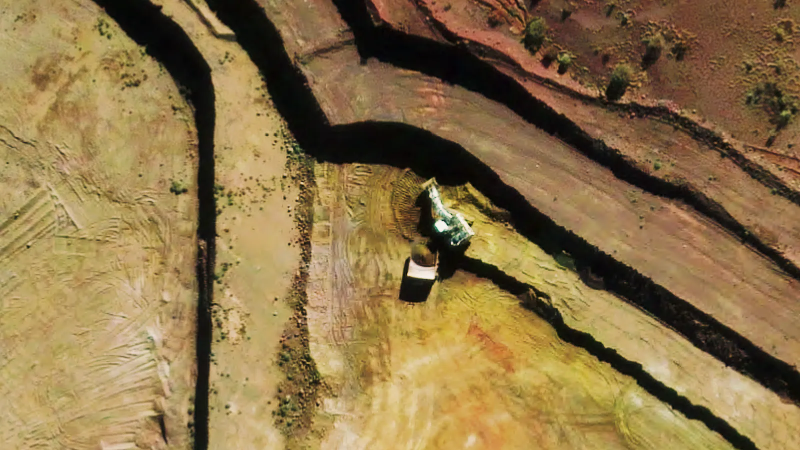
When people see a high resolution and cloud-free satellite image, they rarely think about the complex steps that went into producing it. In reality, the raw data captured by satellites is far from ready to use. Whether for environmental monitoring, mapping, or commercial analytics, pre-processing is the essential foundation that transforms raw pixels into analysis ready data.
Let’s lift the curtain on what really happens before an image reaches your screen.
1. Data Capture and Radiometric Correction
Every satellite sensor captures data in digital numbers (DNs) - values that represent the intensity of light detected by the sensor for each band. These raw numbers must first be converted into a physical unit, typically radiance, to make them meaningful for scientific and analytical use.
Think of this as translating the satellite’s “language” into something humans and software can understand.
2. Atmospheric Correction
Between the satellite and Earth’s surface is an unpredictable layer - our atmosphere. It scatters, absorbs and distorts light, particularly under hazy, humid or smoky conditions. Atmospheric correction compensates for this interference, converting the radiance values to surface reflectance so that the pixel values represents the ground response, not at the top of the atmosphere.
This step is crucial for any time-series analysis or land cover change study.
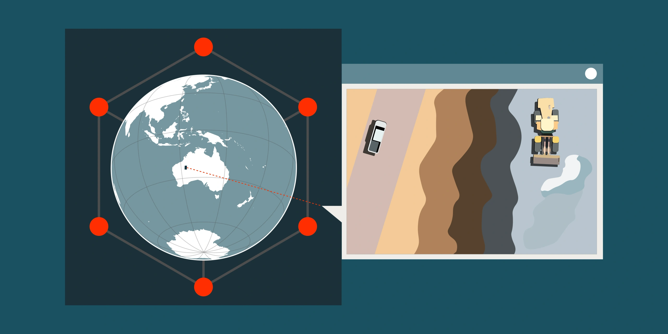
3. Geometric Correction and Orthorectification
Raw satellite data isn’t aligned to ground coordinates. Terrain, capture angle and sensor motion all cause spatial distortions. Geometric correction aligns the image to a map projection, while orthorectification removes distortions using a digital elevation model (DEM).
The result? Every pixel corresponds precisely to a geographic coordinate - essential for accurate measurement, mapping and integration with other GIS data.
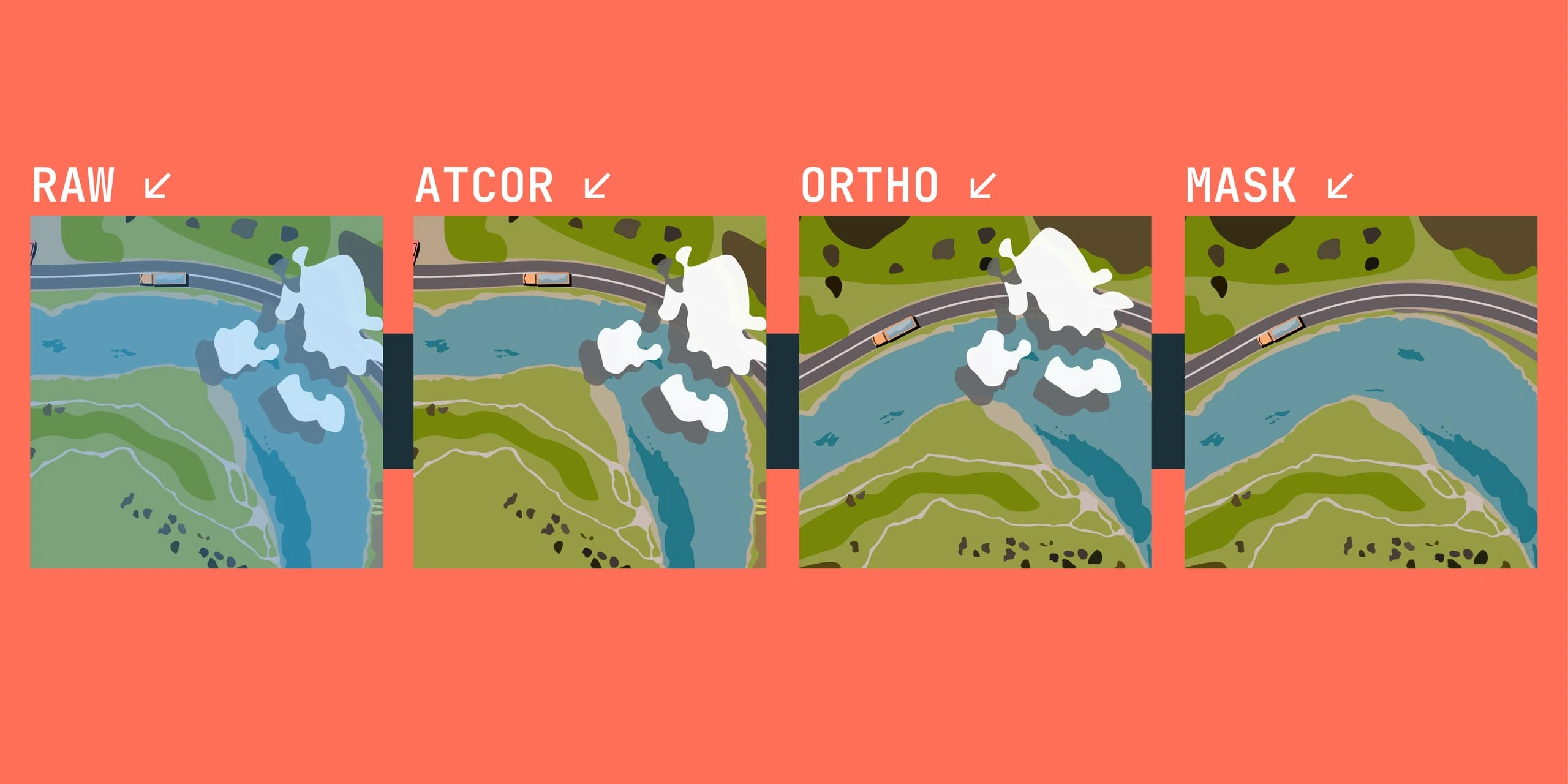
4. Cloud and Shadow Masking
Even during the dry season imagery can be compromised by clouds and their shadows. Semi-automated masking and manual QA identifies and replaces these unwanted objects with overlapping cloud free data, allowing analysts to focus on their analysis not masking.
This is especially important in tropical regions where cloud-free imagery can be rare.
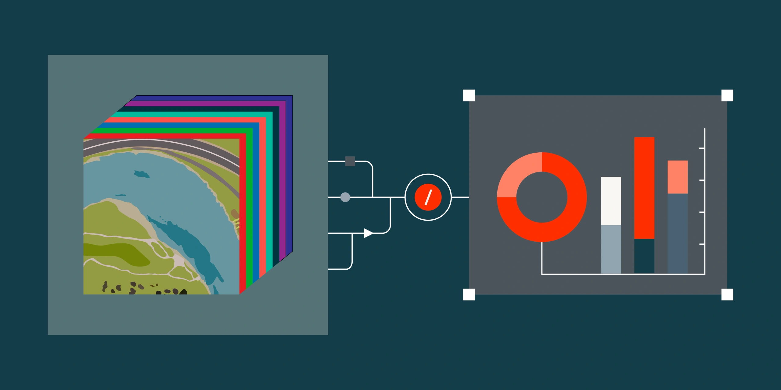
5. Mosaicking
Large projects often require multiple scenes to cover a region of interest. Mosaicking blends overlapping images into seamless and colour balanced mosaic.
These processes balance visual quality with scientific accuracy - part art, part science.
6. Quality Assurance
Before delivery, each dataset undergoes rigorous quality checks - verifying alignment and accuracy. A small error at this stage can compromise the integrity of downstream analytics.
For professional imagery providers, QA isn’t just a box to tick - it’s what separates a “pretty picture” from a reliable dataset.
Final Thoughts
Pre-processing may be invisible to most end users, but it’s the unsung hero of satellite analytics. Every corrected pixel represents hours of computation and technical expertise.
Next time you see a clean, cloud-free image - remember, there’s a world of processing behind those perfect pixels.
Need analysis-ready imagery without the guesswork? Our team manages end-to-end pre-processing so you can move straight to insight. Talk to Terrabit about your next project.