Change detection is one of the core analytical capabilities in satellite imagery and Earth observation workflows. It refers to the process of identifying and quantifying differences in a location over time using satellite data.
In practical terms, it answers a straightforward operational question: what has changed, where has it changed and how significant is that change.
This makes change detection a foundational method across environmental monitoring, emergency response, mining, infrastructure planning and government applications.
How Change Detection Works
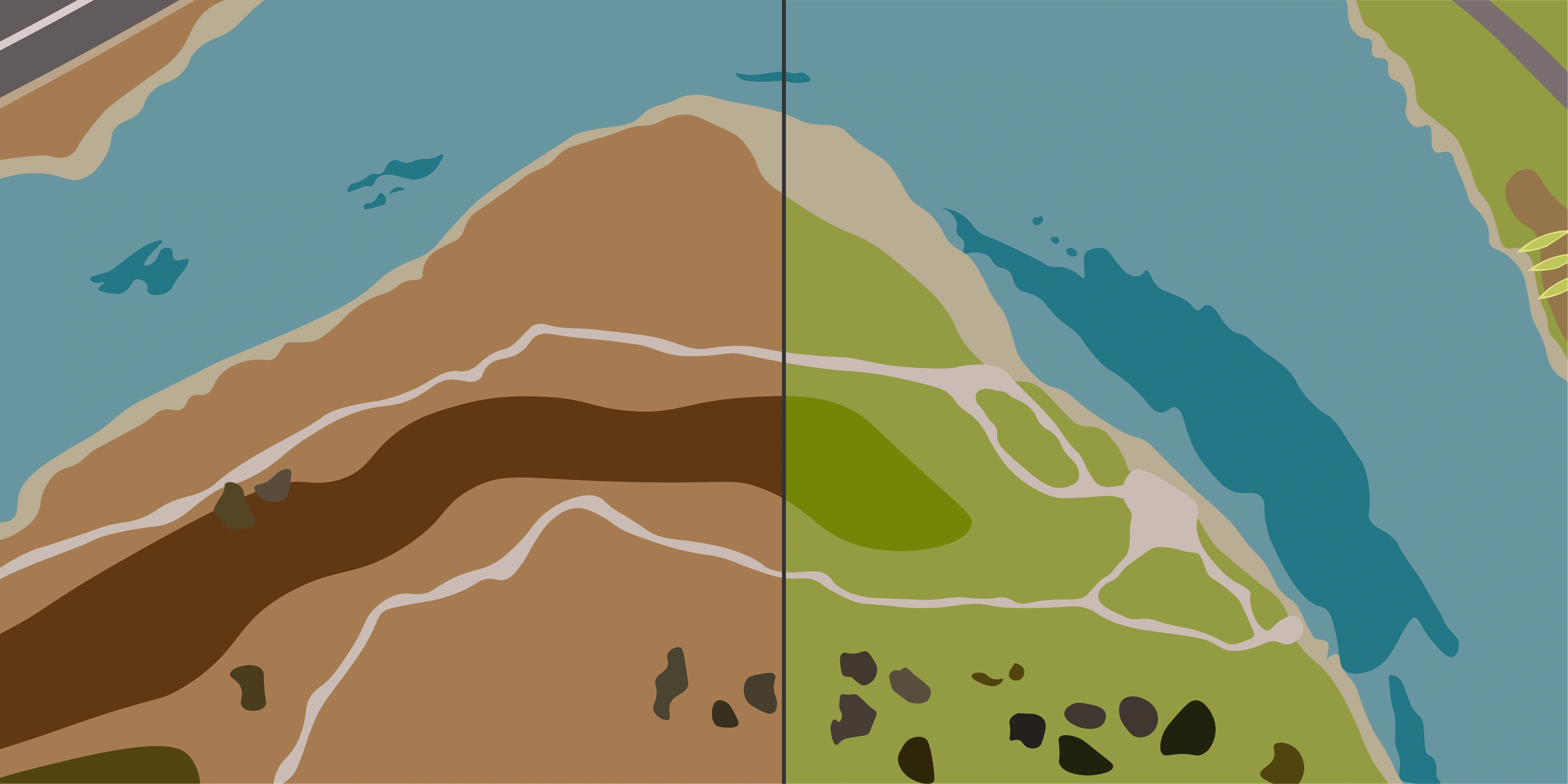
Change detection is based on comparing satellite images of the same area captured at different times. These images are typically sourced from the same sensor or from compatible sensors and are processed to ensure they are geometrically aligned and radiometrically consistent before analysis.
Once aligned, change is identified by comparing differences in pixel values, spectral responses or derived indices. In multispectral workflows, this often includes vegetation or water indices, while in other cases it may involve classification outputs or direct image differencing.
The key principle is that each pixel location is analysed over time to determine whether a meaningful change has occurred and if so how it has evolved.
Why Satellite Imagery is Well Suited to Change Detection
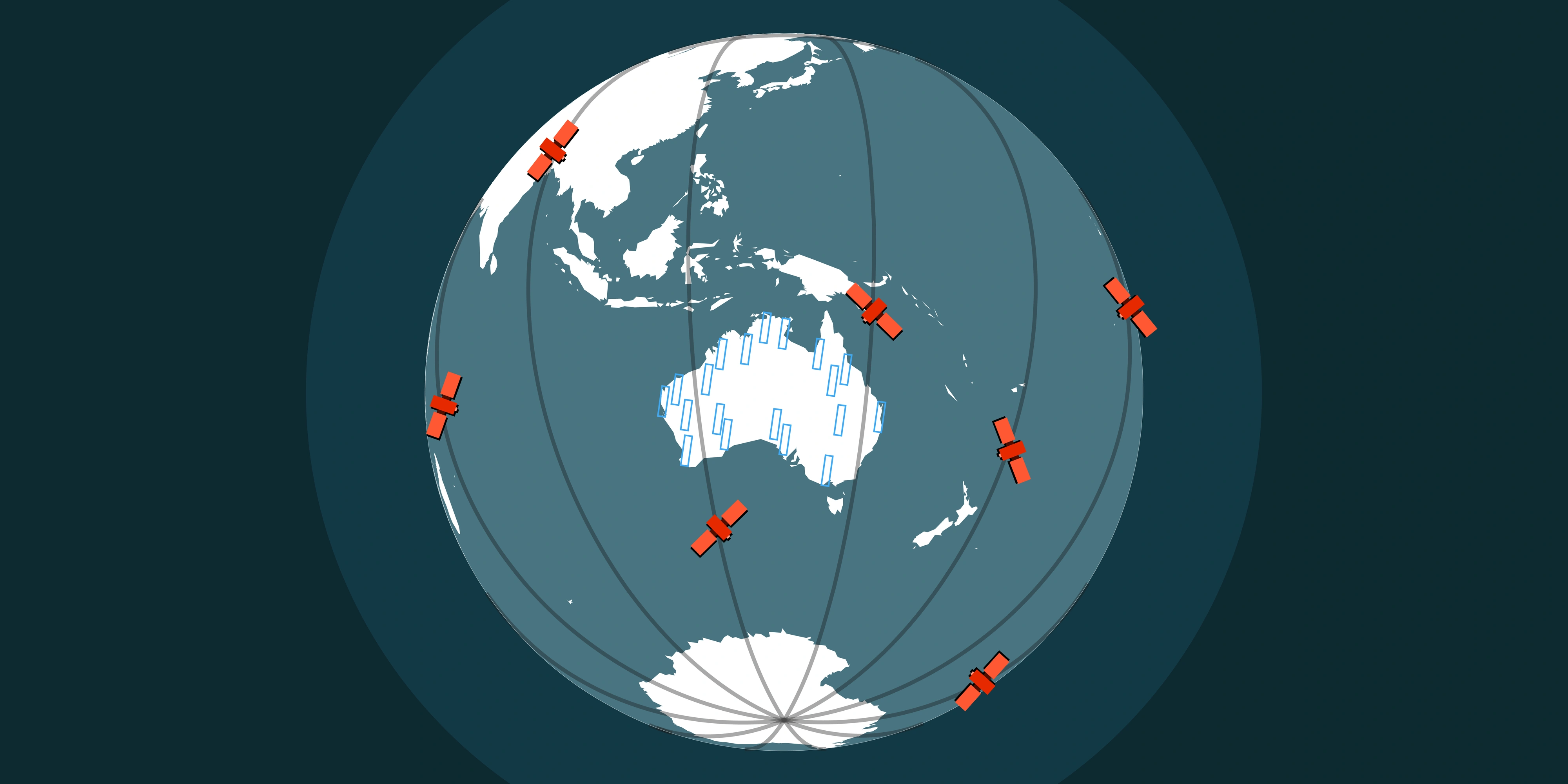
Satellite data is particularly effective for change detection because it provides consistent, repeatable coverage of the Earth's surface. This repeatability allows the same location to be monitored over time using a standardised spatial reference.
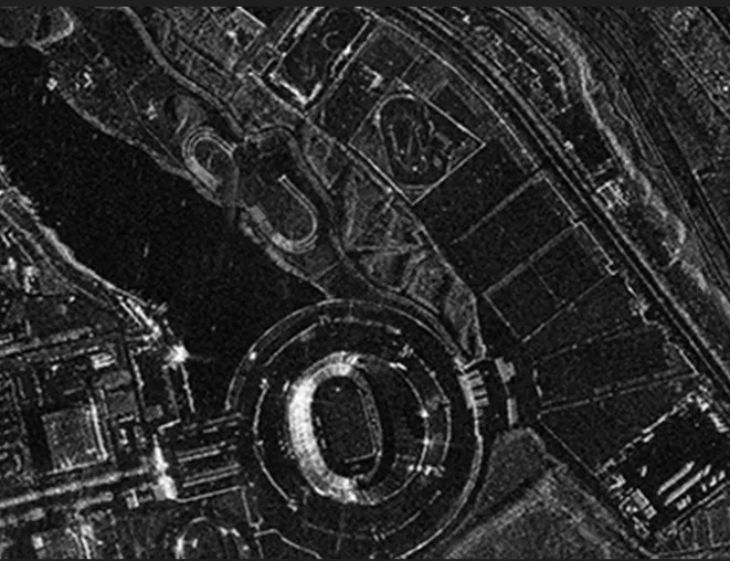
The ability to combine multispectral imagery, SAR data and high-resolution optical imagery also strengthens change detection workflows. Each sensor type contributes different information, whether it is spectral variation, structural change or all-weather observation capability.
This multi-sensor environment is what makes satellite-based change detection operationally reliable across different environments and conditions.
Types of Change Detection
There are several common approaches used depending on the dataset and the application.
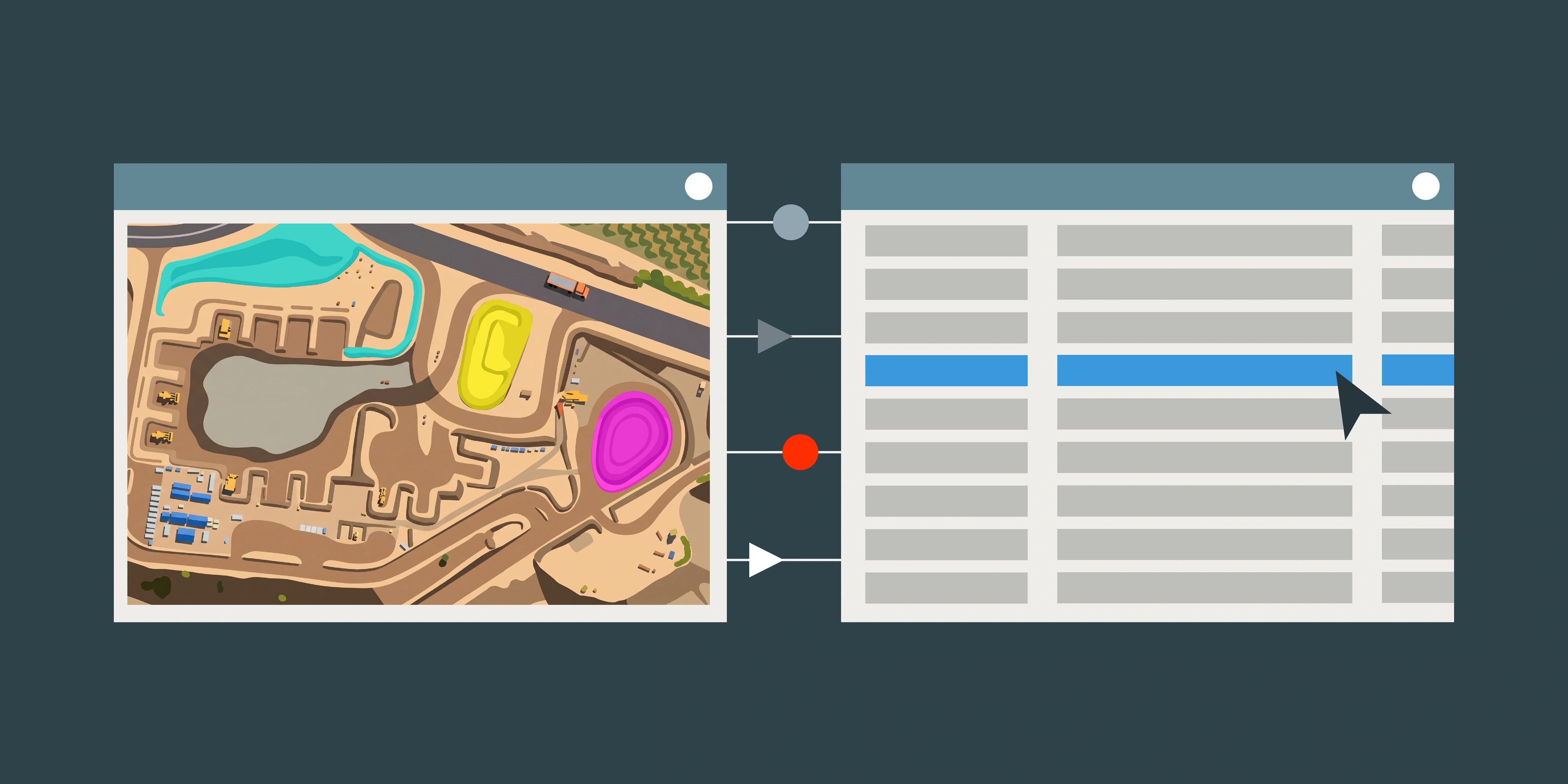
Pixel-based change detection is the most direct method and involves comparing raw or processed pixel values between two dates. It is commonly used for detecting vegetation loss, surface disturbance or water extent changes.
Index-based approaches build on multispectral data by comparing derived indices such as NDVI or NDWI over time. These are widely used in environmental monitoring because they isolate specific surface properties.
Post-classification comparison involves classifying each image independently before comparing the results. This is often used for land use change and urban expansion analysis.
Time series analysis extends this further by using multiple observations over time to identify trends rather than single change events. This is increasingly used in long-term environmental and agricultural monitoring.
| Method | What it compares | Typical use |
|---|---|---|
| Pixel-based | Raw or processed pixel values | Vegetation loss, surface disturbance |
| Index-based | Derived indices (NDVI, NDWI) | Vegetation health, water extent |
| Post-classification | Independently classified land cover | Land use change, urban expansion |
| Time series | Multiple captures over a period | Long-term agricultural / environmental |
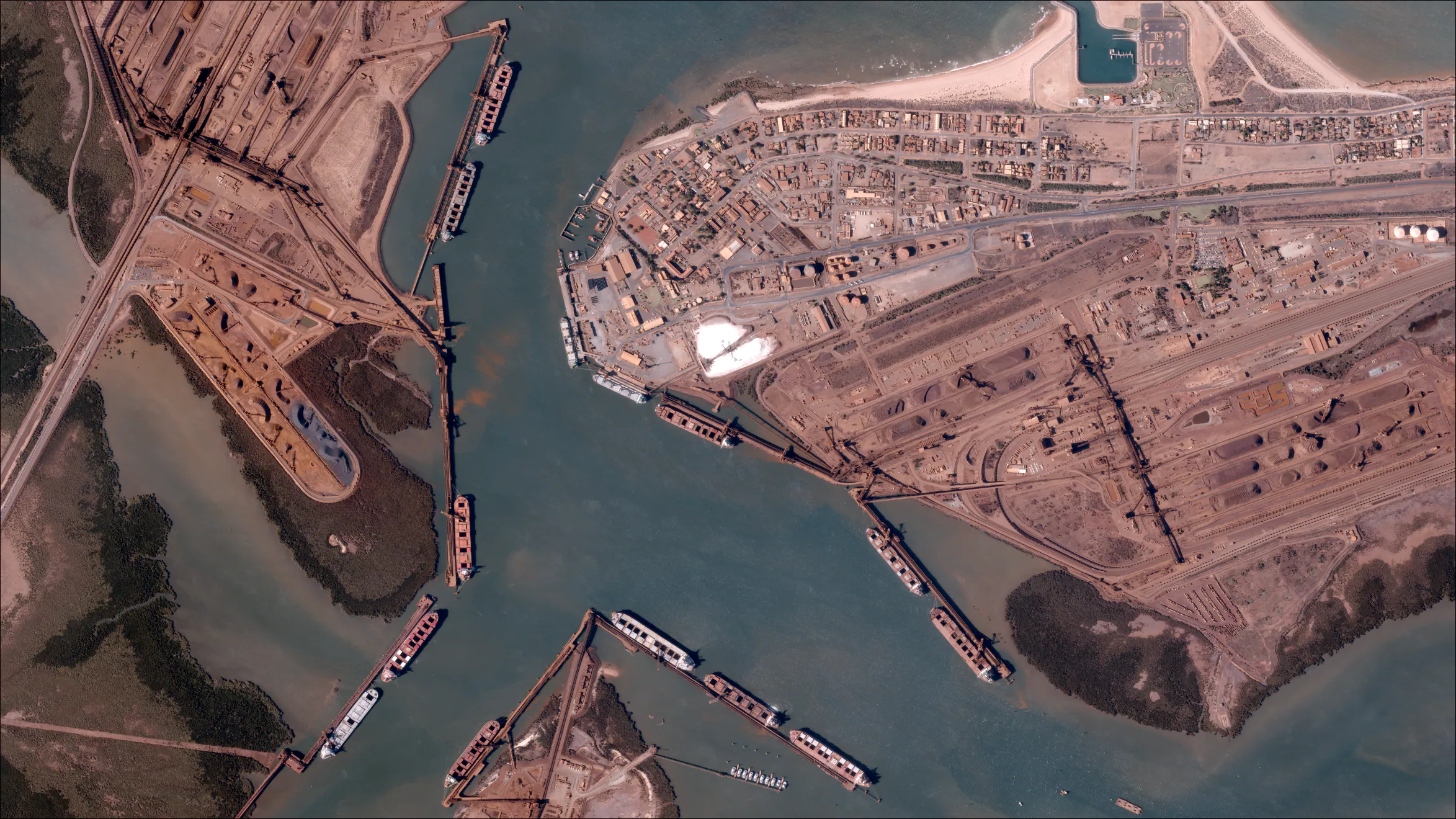
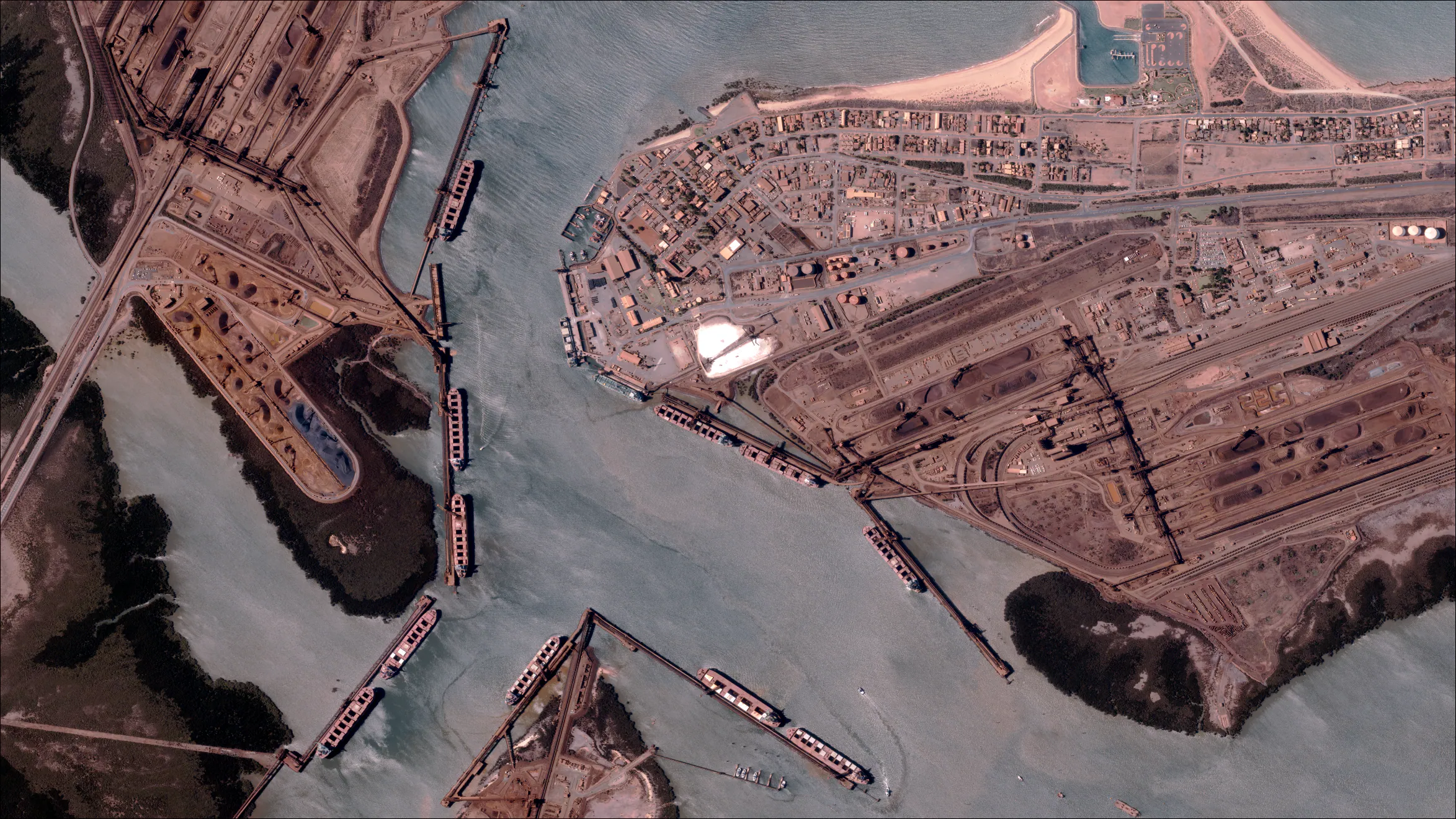
Key Applications
Change detection is widely used across both natural and built environments.
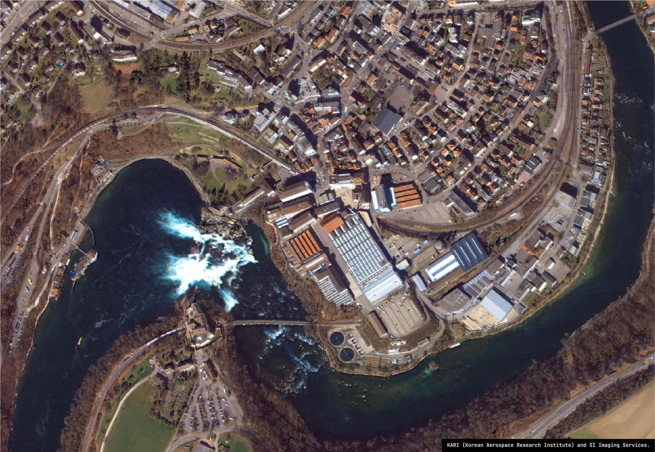
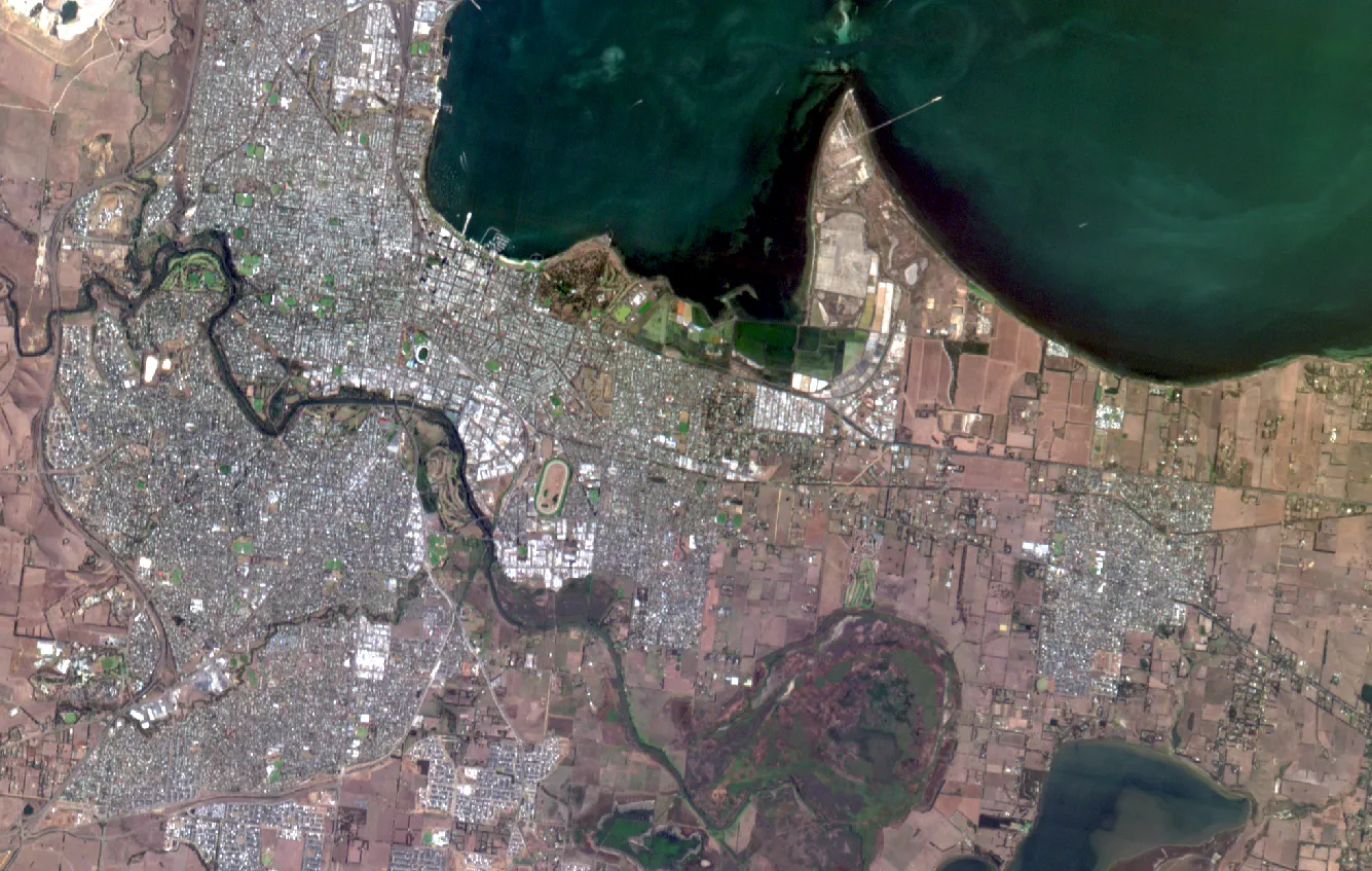
In environmental monitoring, it is used to track deforestation, vegetation change, coastal movement and ecosystem degradation. In emergency management, it supports flood mapping, bushfire impact assessment and disaster damage analysis.
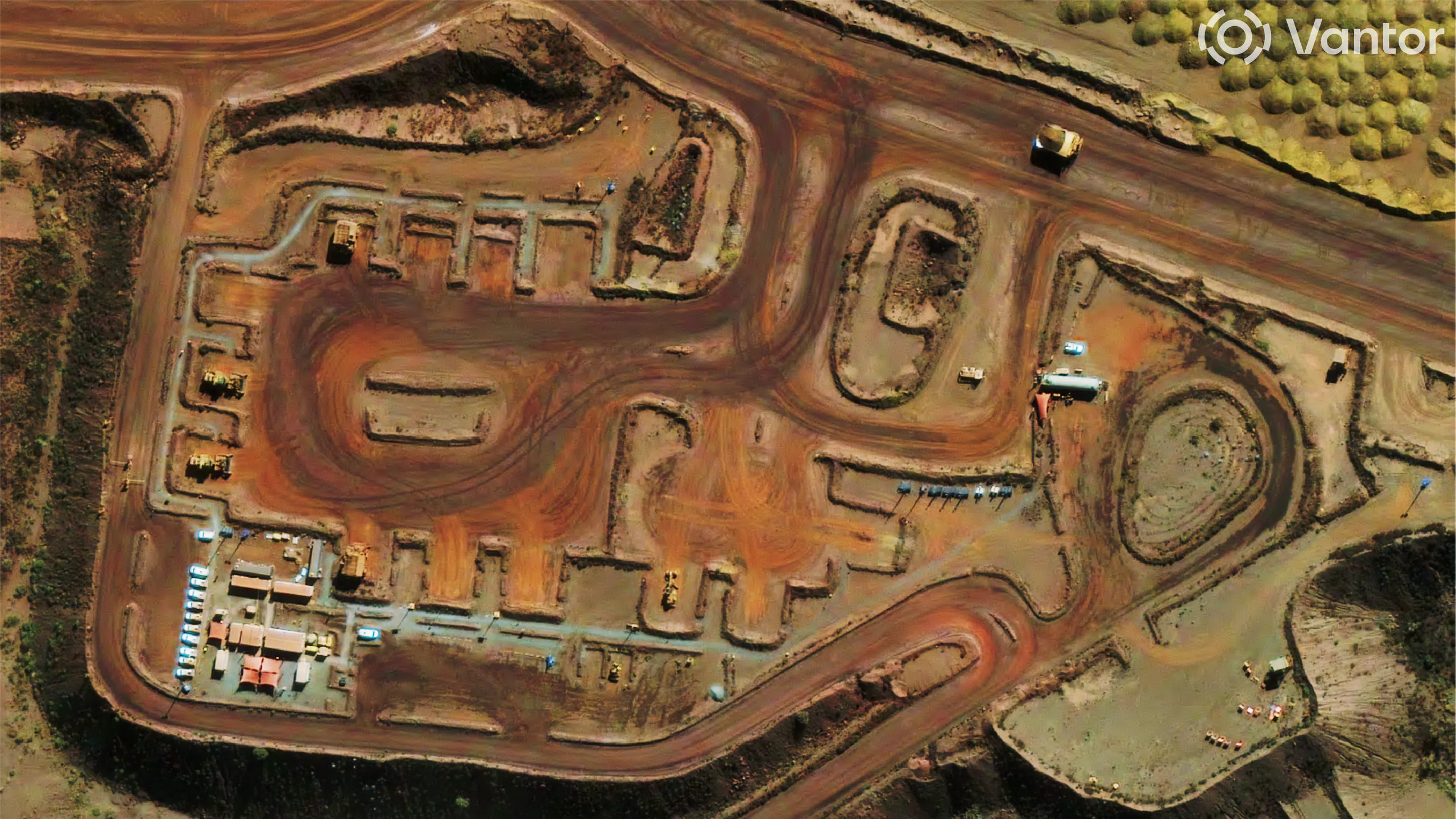
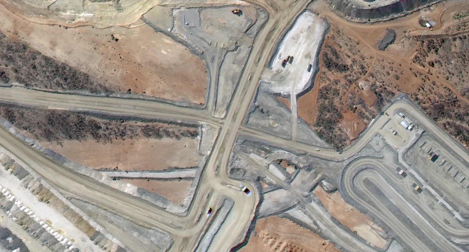
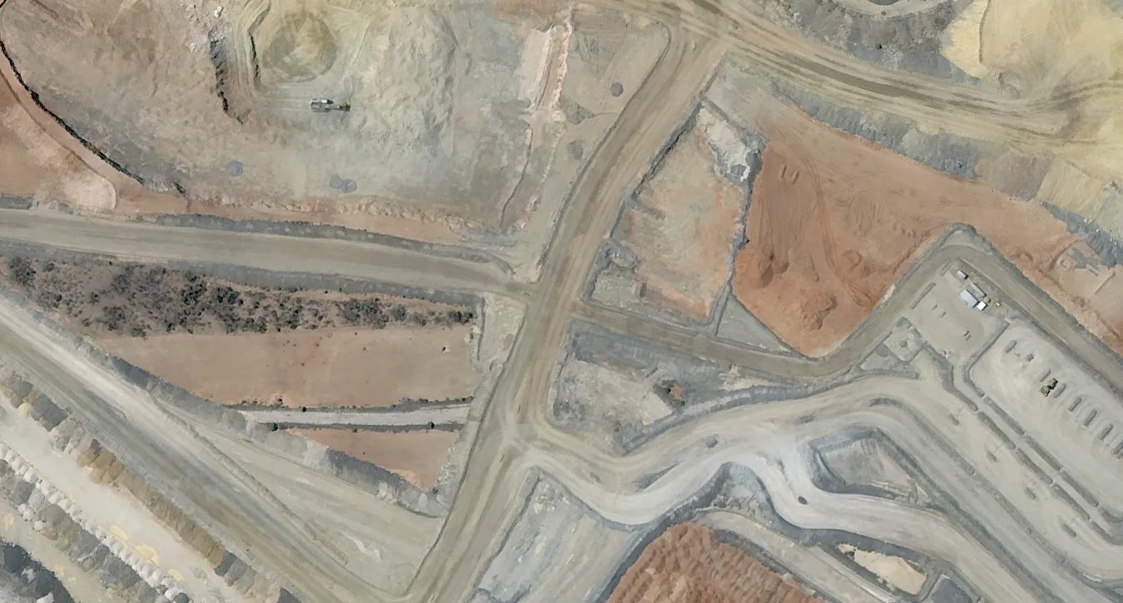
In mining and resources, it is used to monitor land disturbance, open pit expansion and rehabilitation progress. In urban environments, it supports the tracking of construction activity, infrastructure growth and broader land use change.
Across agriculture, it is applied to crop monitoring, seasonal variation tracking and field-level condition assessment.

Data Requirements and Considerations
Accurate change detection depends heavily on data consistency and preprocessing. Imagery must be radiometrically comparable, geometrically aligned and captured under similar environmental conditions where possible.
Temporal spacing also plays a role. If images are too close together, natural variability can introduce noise. If they are too far apart, important intermediate changes may be missed.
Sensor compatibility is another key factor, particularly when combining datasets from different satellites or constellations.
Without these considerations, change detection outputs can easily be distorted by external variables rather than true surface change.
Limitations
While highly effective, change detection has a number of operational constraints.
Atmospheric variation, seasonal change and differences in illumination can all introduce false signals if not properly controlled. Cloud cover remains a limitation for optical-based workflows, particularly in high-frequency monitoring environments, although increasing revisit rates and modern tasking capabilities are helping to reduce this constraint in practice.
Complex land cover can also reduce accuracy, particularly where mixed surfaces or gradual transitions are present. In addition, threshold selection and classification settings can significantly influence final outputs, especially in automated or large-area processing workflows.
For these reasons, change detection is rarely used in isolation and is typically validated against multiple data sources. This often includes SAR imagery for consistent observation through cloud and night conditions, along with high-resolution optical data and elevation models to provide additional context and verification.
Integration with Other Satellite Data
In operational workflows, change detection is most effective when combined with other datasets.
Multispectral imagery provides the spectral foundation for identifying vegetation, water and land cover change. SAR imagery adds all-weather and night-time capability, allowing consistent monitoring regardless of cloud conditions. High-resolution optical imagery provides detailed visual confirmation where required, while elevation data adds terrain context for hydrological and infrastructure analysis.
This multi-layer approach improves reliability and reduces the risk of false change interpretation.
Where Change Detection Fits in Earth Observation
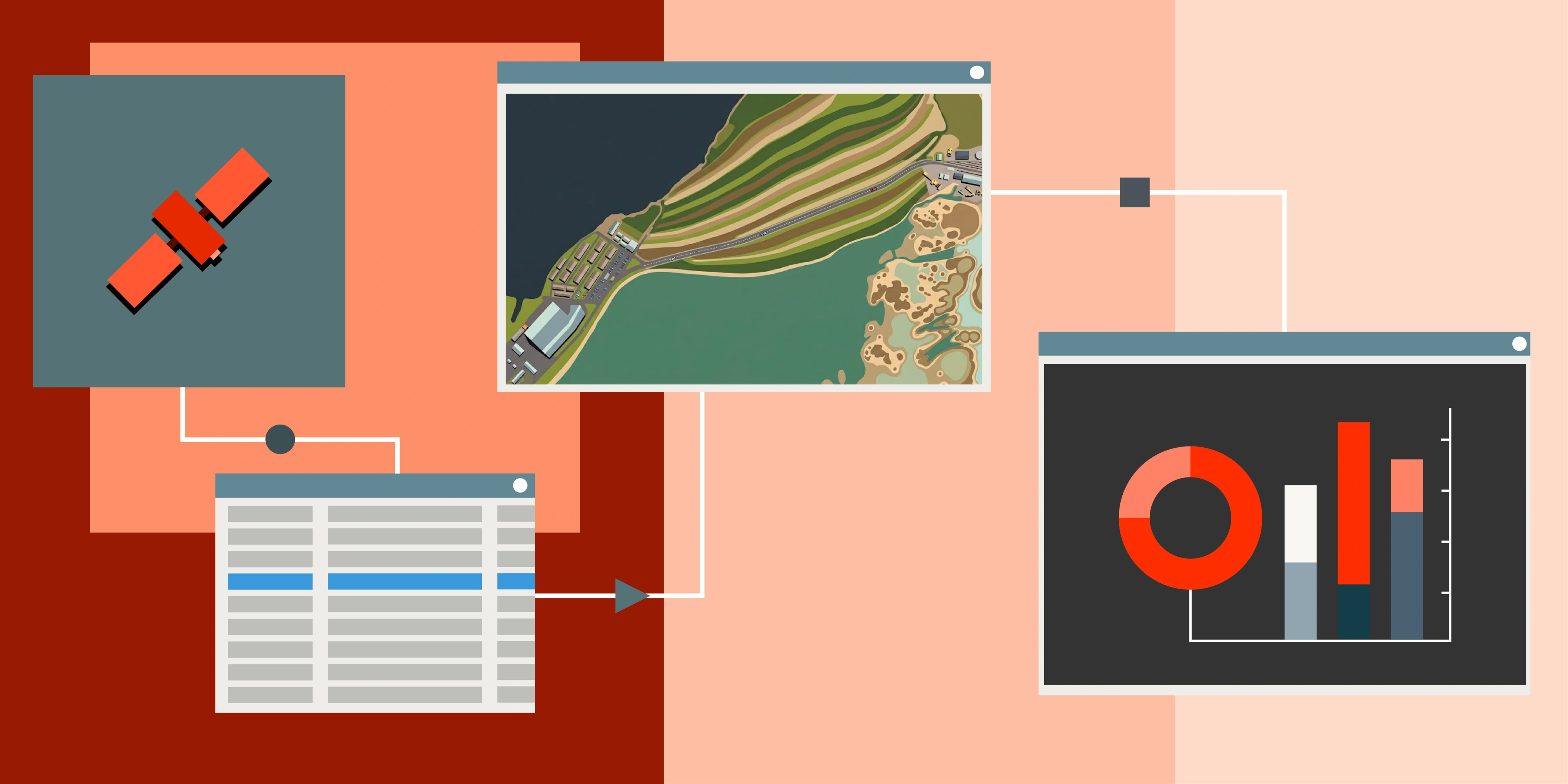
Change detection sits within the analytical layer of most Earth observation workflows. It is typically applied after satellite acquisition and preprocessing and before final product generation and reporting.
In practice, it is one of the key steps that transforms raw imagery into actionable intelligence, enabling users to move from visual interpretation to quantified environmental or structural change.
Final Thoughts
Change detection is one of the most operationally important techniques in satellite imagery analysis. It enables consistent monitoring of the Earth's surface over time and provides the foundation for understanding environmental, structural and land use dynamics at scale.
As satellite revisit rates continue to improve and multi-sensor integration becomes more seamless, change detection is increasingly moving toward near real-time operational monitoring rather than retrospective analysis.