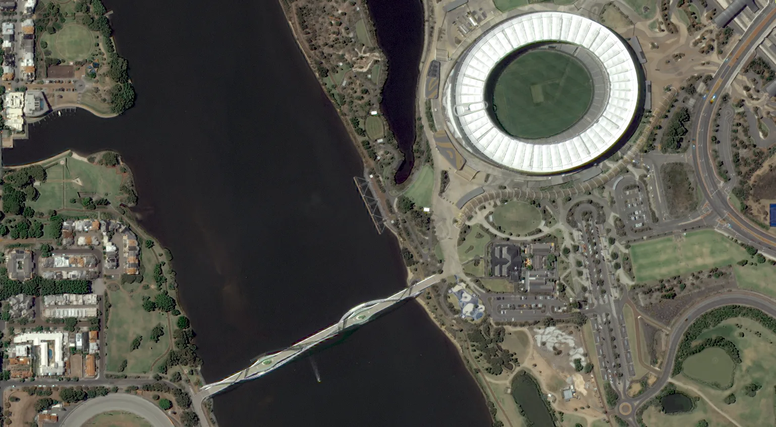
How often is satellite imagery updated? For most locations, modern commercial satellite constellations can capture new imagery daily - and in many cases multiple times per day. One of the most common questions organisations ask when considering satellite imagery is how recent the data can actually be, and the answer has changed dramatically.
In the past, satellite imagery was often associated with outdated or infrequent coverage. That has changed significantly over the last decade. Commercial Earth observation providers now operate hundreds of satellites globally, allowing some locations to be revisited daily and in some cases several times per day.
The reality, however, is that update frequency - often called the satellite revisit rate or temporal resolution - depends on several factors including location, weather conditions, image resolution and the type of monitoring being performed.
Satellite Revisit Frequency Has Changed Rapidly
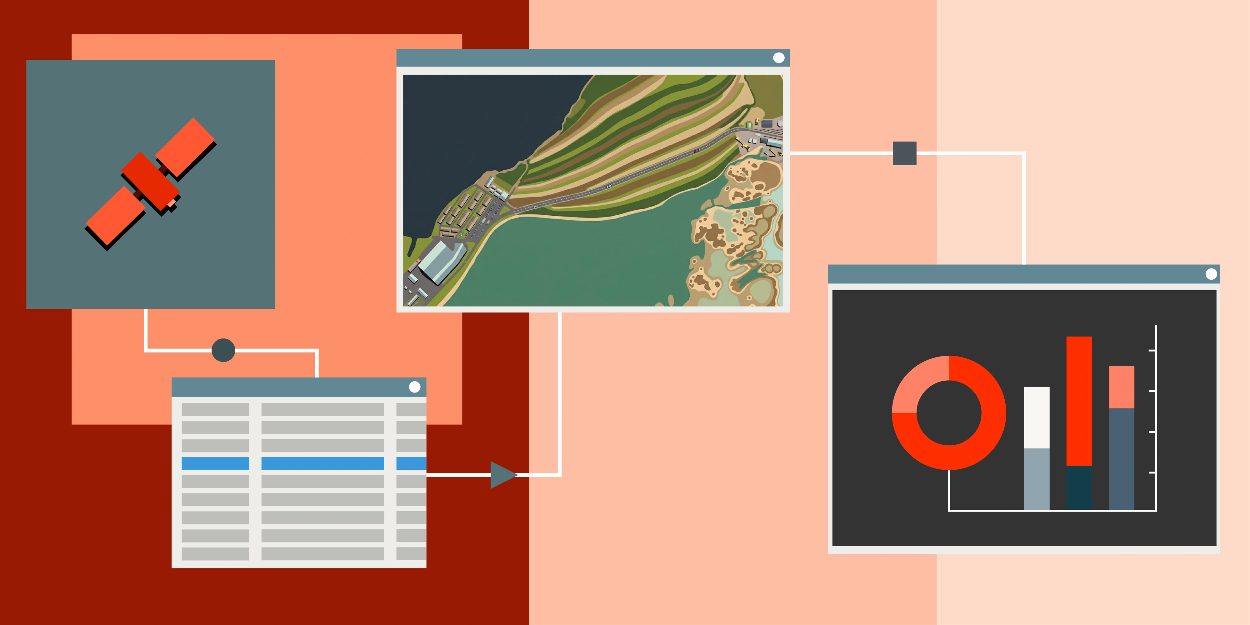
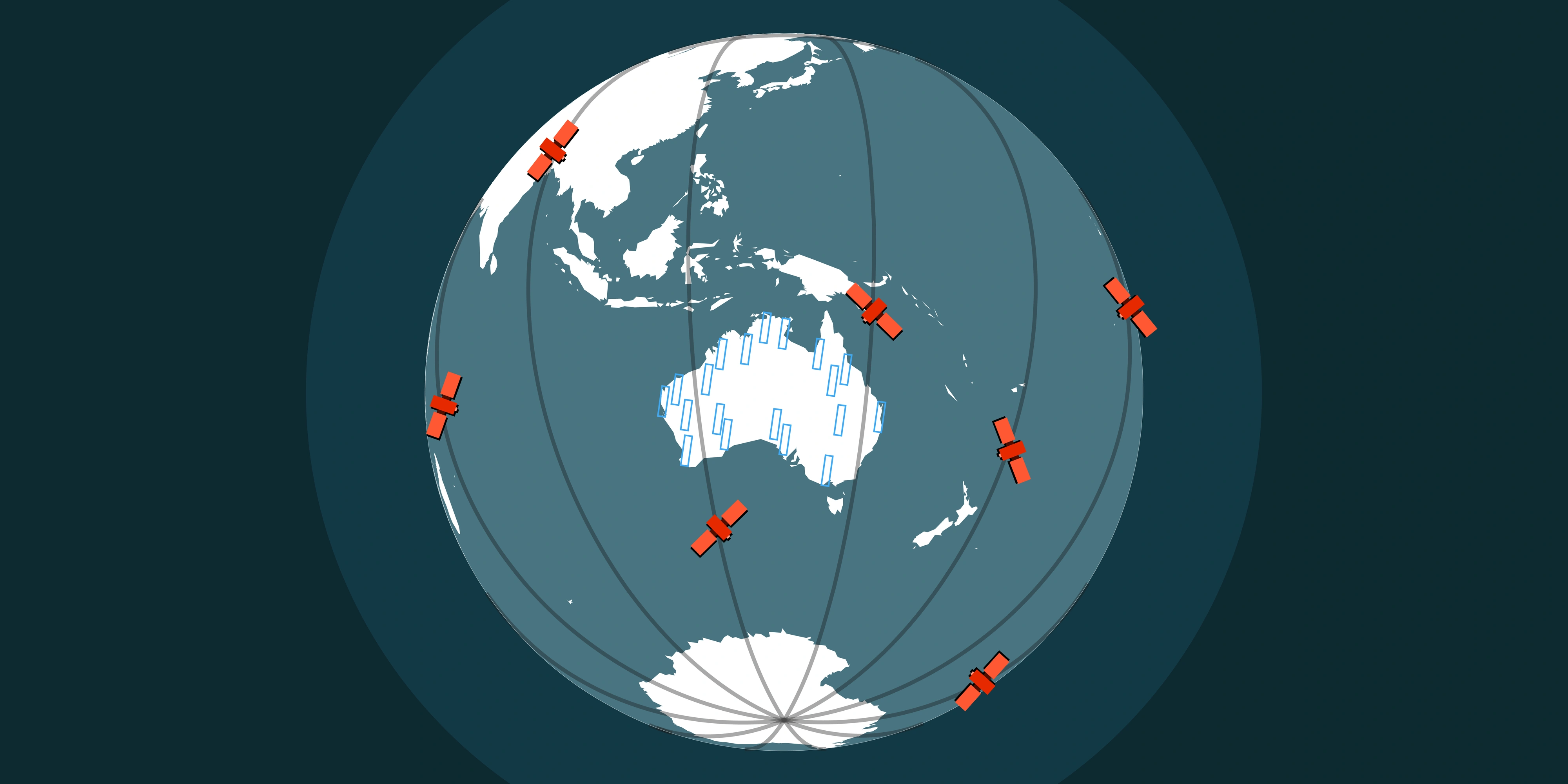
Commercial Earth observation systems have expanded considerably in recent years. Instead of relying on a single satellite passing overhead every few weeks, providers now operate large constellations capable of collecting imagery continuously across different regions. You can explore the constellations we work with on our Satellites page.
For organisations monitoring infrastructure, environmental change, agriculture or construction activity, this means imagery can often be collected far more frequently than many people expect.
In practical terms, repeat satellite imagery may be available:
- multiple times per week,
- daily,
- or even several times per day for some locations.
As a guide, typical update frequencies by imagery source look like this:
| Imagery source | Typical update frequency | Best suited for |
|---|---|---|
| Free public data (Sentinel-2) | Every ~5 days | Regional monitoring, long-term trends |
| Free public data (Landsat 8/9) | Every ~8 days combined | Historical change analysis |
| High-revisit commercial (~1m) | Up to 15 times per day | Rapid change detection, operational awareness |
| Very high-resolution commercial (30-50cm) | Daily to intra-daily | Detailed site monitoring, compliance |
| SAR (radar) | Multiple times per week, day or night | All-weather and wet-season monitoring |
The actual usable frequency, however, still depends on conditions on the ground and the type of imagery being acquired.
Weather Still Matters
For optical satellite imagery, cloud cover remains one of the biggest limitations on how often usable imagery can be collected.
Even though a satellite may pass over an area regularly, heavy cloud can prevent useful imagery from being captured. This is particularly relevant across parts of northern and coastal Australia where cloud cover can persist for extended periods during wet seasons.
Because of this, monitoring programs are often planned around expected seasonal conditions and revisit opportunities rather than assuming every scheduled pass will produce usable imagery.
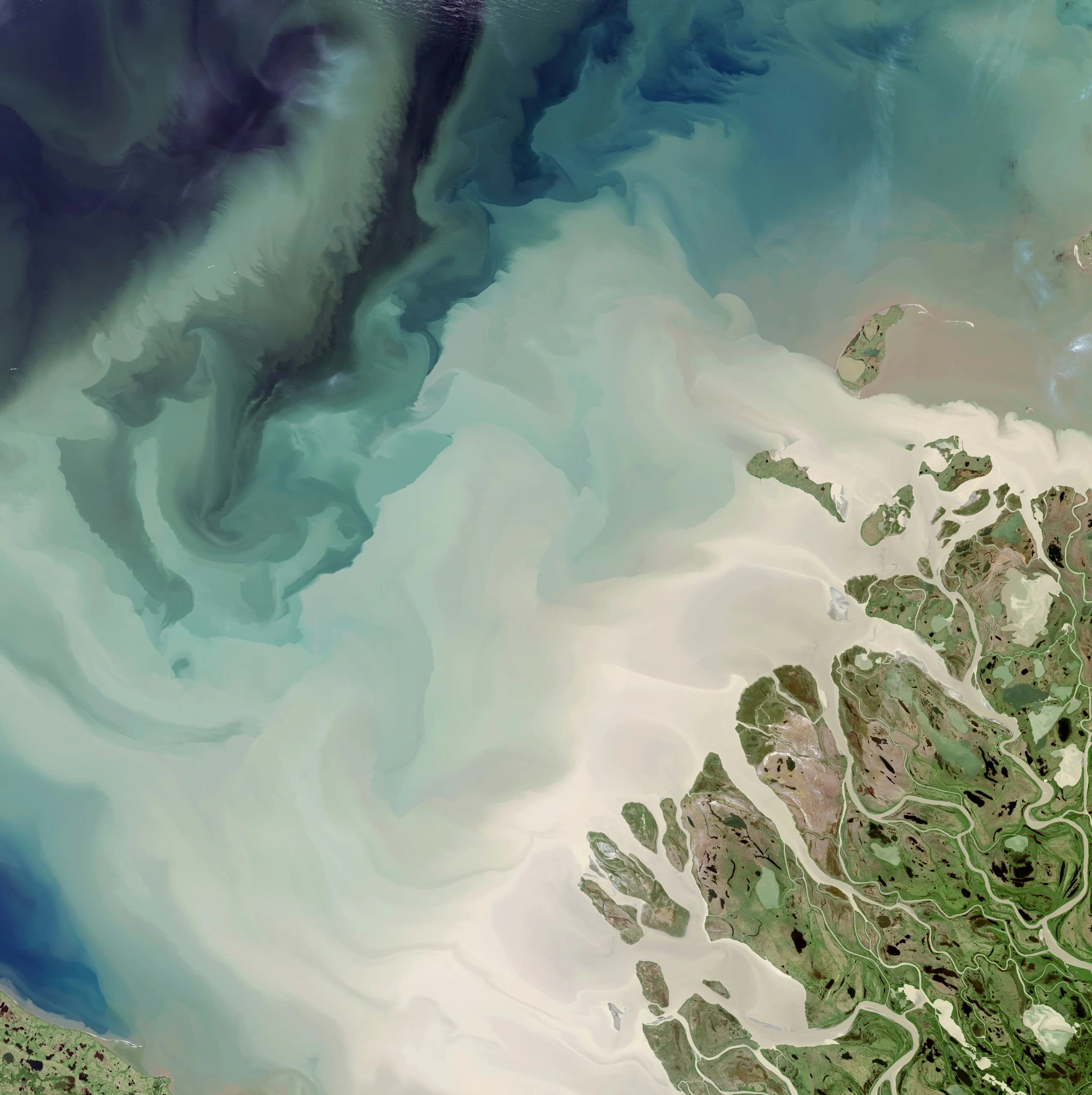
In regions with persistent cloud, Synthetic Aperture Radar (SAR) imagery is increasingly being used alongside optical collections. Unlike standard optical imagery, SAR systems can collect data through cloud cover and during nighttime conditions, keeping monitoring schedules on track even through the wet season.
Resolution Affects Collection Strategy
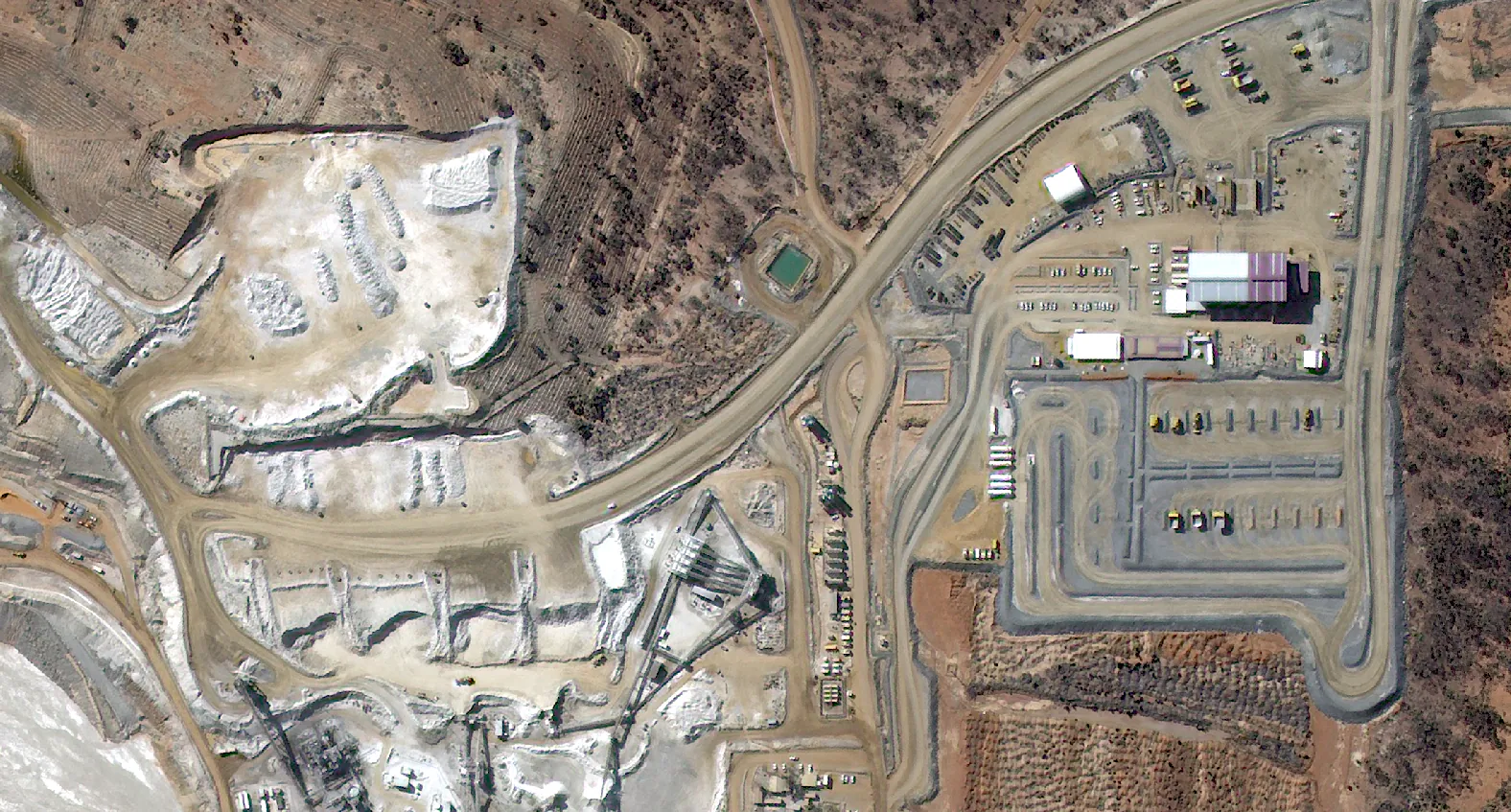
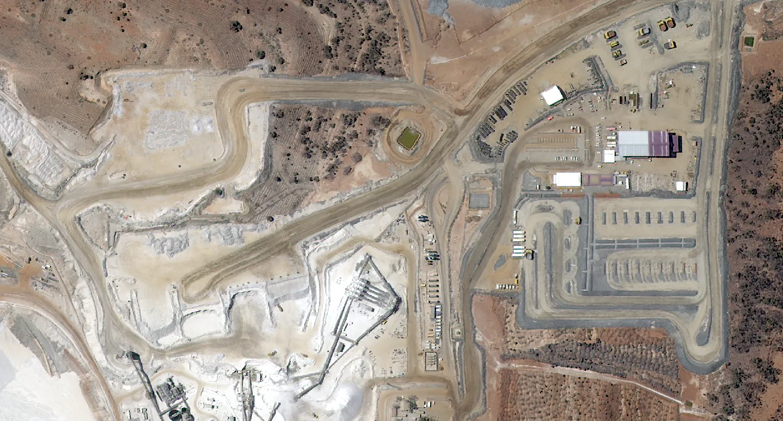
Image resolution is still an important consideration, but higher resolution imagery no longer necessarily means long revisit times.
Modern commercial constellations are capable of collecting very high-resolution imagery far more frequently than was possible only a few years ago. Some providers now operate multiple satellites capable of capturing imagery at resolutions around 30-35cm on a near-daily basis across many regions globally.
Instead of resolution alone determining collection frequency, the more important factors are usually:
- cloud conditions,
- acquisition priority,
- satellite capacity,
- and the size of the area being monitored.
Larger monitoring areas may still require trade-offs between resolution, frequency and cost, particularly where consistent repeat coverage is required over broad regions.
For many operational workflows, organisations focus on building a monitoring strategy that balances image detail, revisit frequency and overall program scalability rather than simply selecting the highest available resolution. Our guide to the best satellite imagery sources compares how the major providers stack up on resolution and revisit rates.
Monitoring Programs vs One-Off Imagery
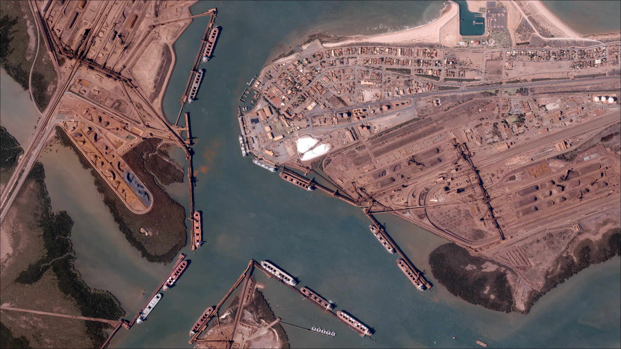
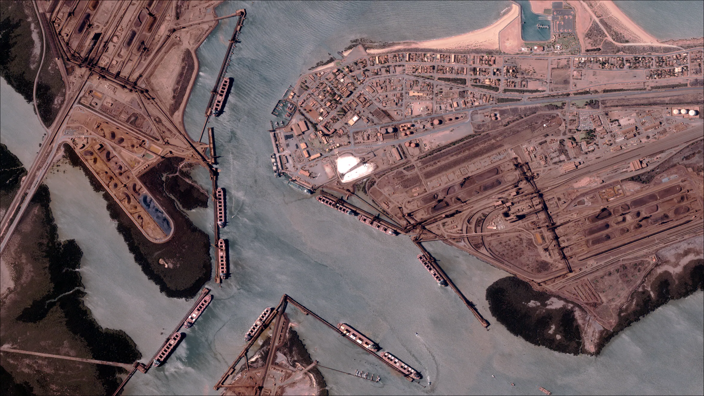
Satellite imagery is increasingly being used as part of ongoing monitoring programs rather than one-time purchases.
This is where repeat acquisition becomes particularly useful. Comparing imagery over time allows organisations to identify:
- land disturbance,
- infrastructure development,
- vegetation change,
- flooding,
- construction progress,
- and broader environmental trends.
Rather than focusing only on the latest image, many organisations are now building historical monitoring datasets that provide long-term operational visibility. Techniques like change detection make these repeat collections genuinely actionable.
Historical Archive Access Is Also Important
Modern providers maintain extensive historical imagery archives covering many parts of the world.
This allows organisations to compare current conditions against previous months or years without needing to commission imagery retroactively.
Archive access is commonly used for:
- environmental assessments,
- infrastructure planning,
- change detection,
- compliance reporting,
- and historical site analysis.
For many projects, combining archive imagery with ongoing repeat collections provides the most useful operational workflow.
Common Questions About Satellite Imagery Updates
How often do satellites take pictures of the same place?
It depends on the constellation. Free public satellites like Sentinel-2 revisit every ~5 days, while large commercial constellations can image the same location daily or even multiple times per day. High-revisit systems can achieve up to 15 passes per day over mid-latitude locations such as Australia.
Why is Google Maps satellite imagery often years old?
Free basemaps like Google Maps and Google Earth are mosaics assembled from imagery that can be one to three years old, and you cannot control when they update. Commercial providers let you task a new capture or access recent archive imagery on demand - see our comparison of commercial vs free satellite data.
Can I get satellite imagery from yesterday or today?
Often, yes. If a commercial satellite captured your area recently, that archive imagery can be delivered within hours. For guaranteed recency, urgent satellite tasking can schedule a new capture, with imagery typically delivered within hours of acquisition.
Can satellites capture images through clouds?
Optical satellites cannot see through cloud, which is why cloud cover is the main constraint on usable update frequency. Synthetic Aperture Radar (SAR) satellites, however, collect data through cloud and at night, making them a reliable complement for monitoring in cloud-prone regions.
Final Thoughts
Satellite imagery is now updated far more frequently than most organisations realise.
Depending on the location, imagery type and operational requirements, repeat coverage may be available daily or several times each week. However, factors such as cloud cover, acquisition priority and image resolution still play an important role in determining how often usable imagery can be collected.
For organisations using satellite data operationally, the focus is increasingly shifting away from one-off acquisitions and toward consistent monitoring programs that provide reliable visibility over time.
Want to know how frequently your site can be captured? The Terrabit team can model realistic revisit rates, cloud risk and costs for your area of interest - so you know exactly what update frequency to expect before you commit.