
Vantor
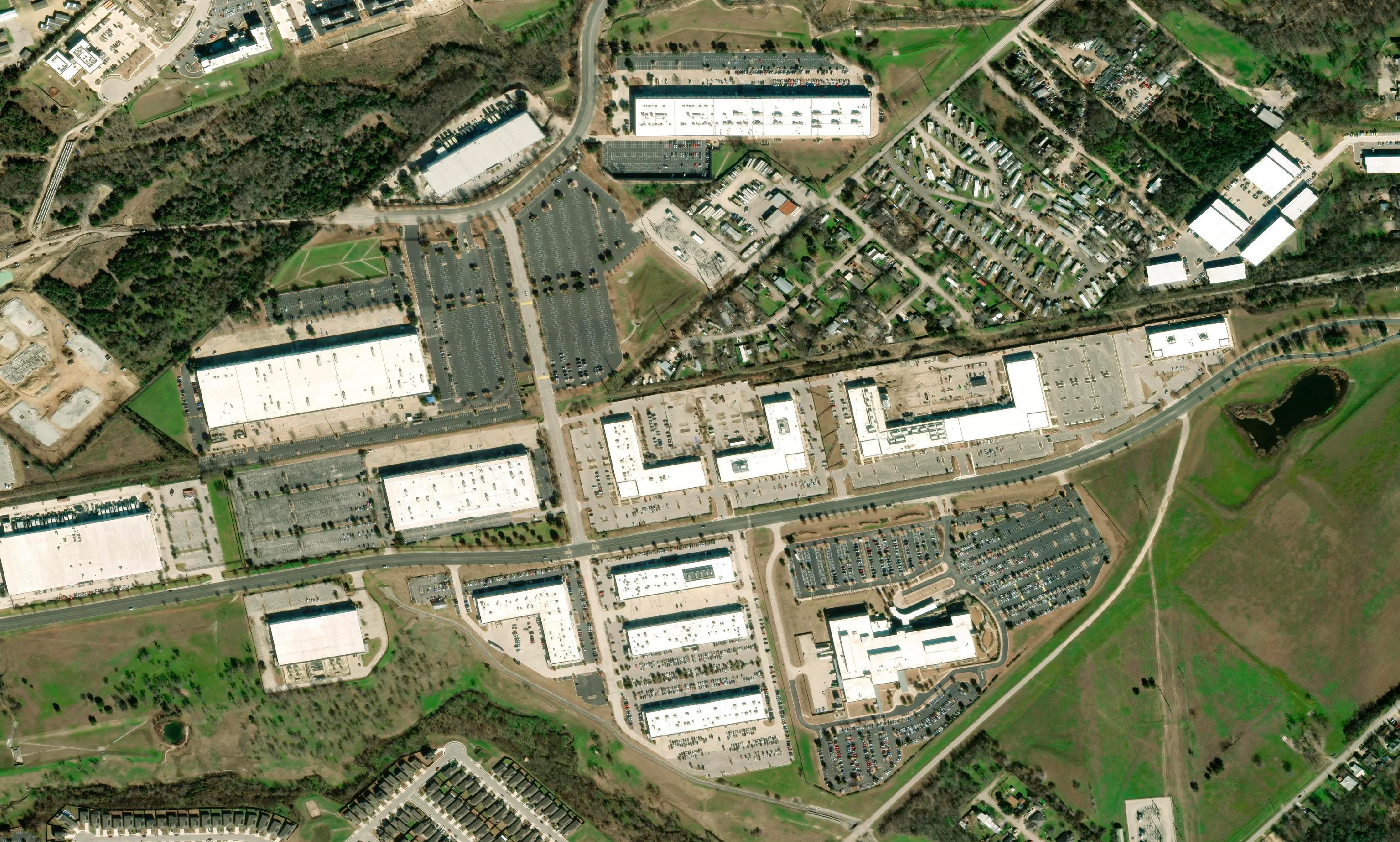
Vivid Mosaic 30cm
A ready-made, seamless global basemap for organisations that need detailed imagery across large areas.
- Resolution
- 30cm
- Coverage
- Global
- Accuracy
- <5m CE90
- Format
- COG, Geographic WGS84
High-Resolution Imagery. Seamless Coverage.
Access high-resolution satellite imagery basemaps for mapping, visualisation and spatial analysis.
Resolution
Up to 15cm HD
Coverage
Global or custom AOI
Delivery
ECW, GeoTIFF or COG
Every basemap follows the same four steps, from a single site through to a country-wide mosaic.
Share your area of interest, from a single site or corridor to a whole region.
We match mosaic coverage or source imagery to your project requirements.
Selected scenes are processed and combined into one seamless image layer.
Receive your basemap in the format and coordinate system you need.
Ready-made Vantor Vivid Mosaic coverage or custom Terrabit mosaics, with elevation basemaps to match.
Vantor
A ready-made, seamless global basemap for organisations that need detailed imagery across large areas.
Vantor
HD imagery for selected high-interest regions, where buildings, roads and surface features need finer detail.
Terrabit
Built around your area of interest, resolution and multispectral band requirements, and processed in-house in Brisbane.
Terrabit
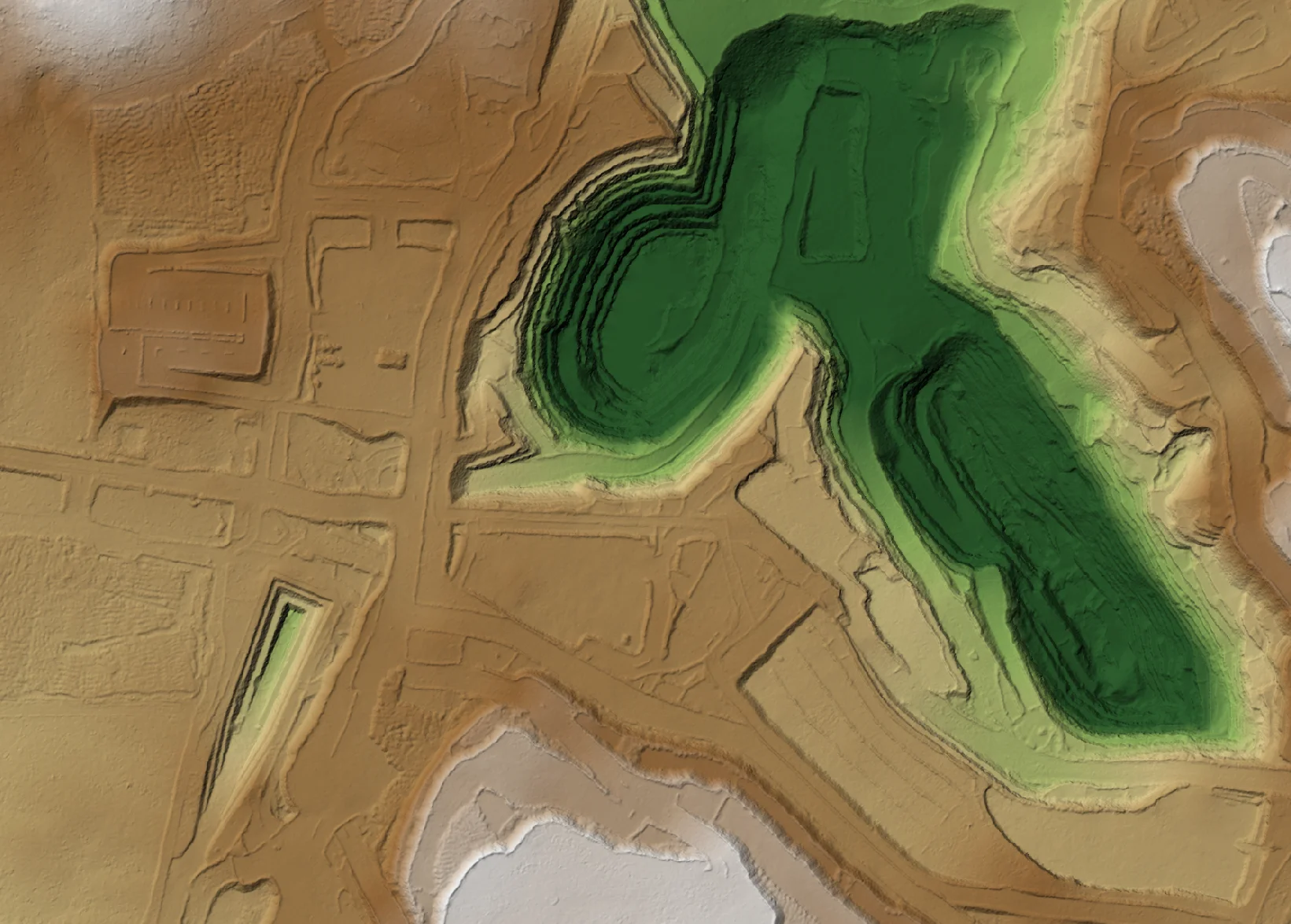
Seamless surface and terrain models from multiple stereo satellite imagery pairs.
View entire project areas within a single imagery layer. Seamless basemaps make it easier to understand the relationship between infrastructure, surrounding land and the wider landscape, without managing individual satellite scenes.
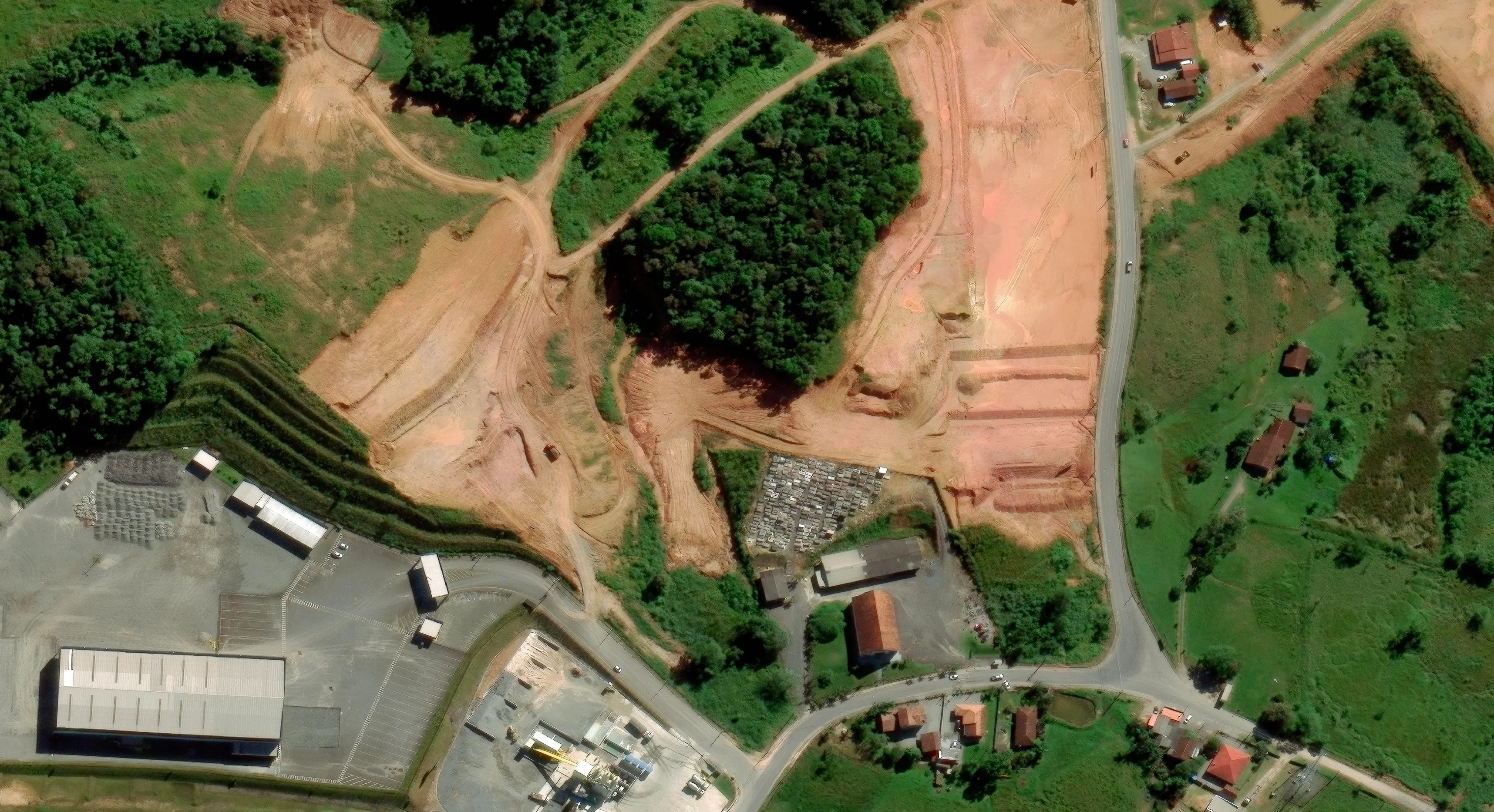
Careful scene selection and in-house processing in Brisbane bring imagery together across large areas with a consistent seasonal appearance. Knowing the capture date of each part of the mosaic helps support informed decisions and comparisons between epochs.
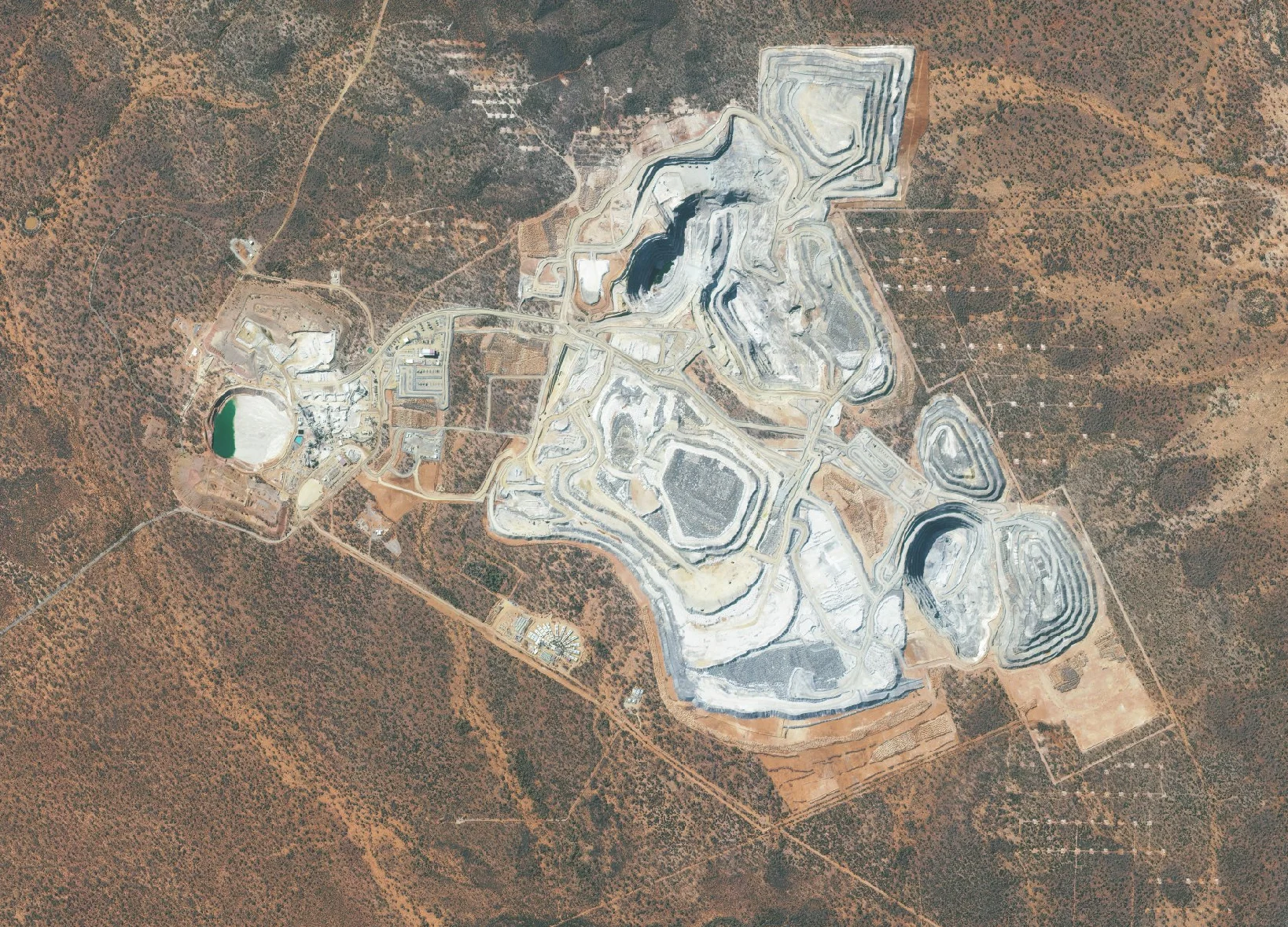
Establish an imagery baseline for future assessments. New mosaics can be aligned with previous project imagery, so different capture dates can be compared to assess changes in land use, infrastructure, vegetation and site conditions over time.
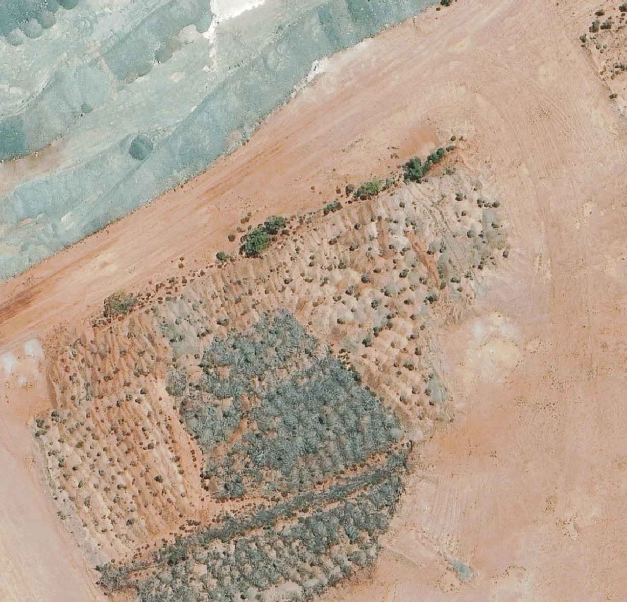
Use detailed imagery to assess existing conditions, identify features of interest and understand potential constraints before committing to more detailed fieldwork or survey. Pair your basemap with a satellite-derived elevation model for terrain context.
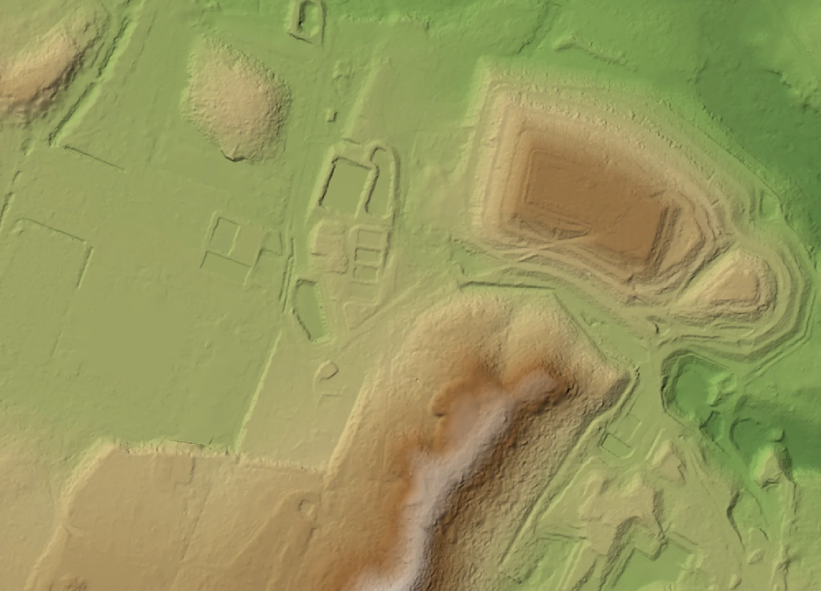
Use satellite imagery alongside existing spatial datasets, including asset locations, elevation models, environmental layers and project boundaries. Delivery is matched to your preferred coordinate system, data access and workflow.
How imagery basemaps support planning, monitoring and training across industries.
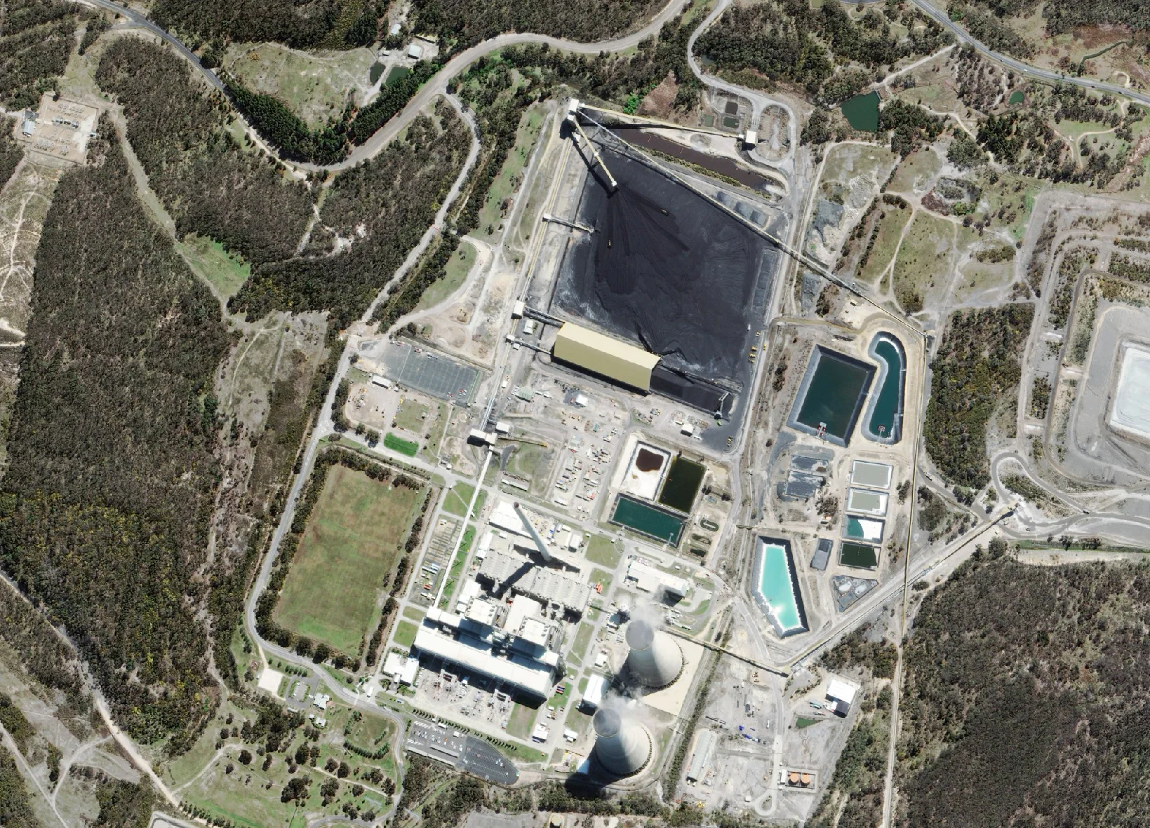
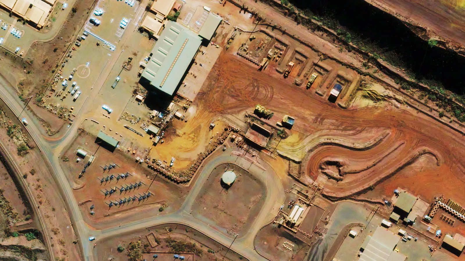
Basemaps of mine sites, processing facilities, tailings and tenements for site planning, infrastructure assessment and environmental monitoring.
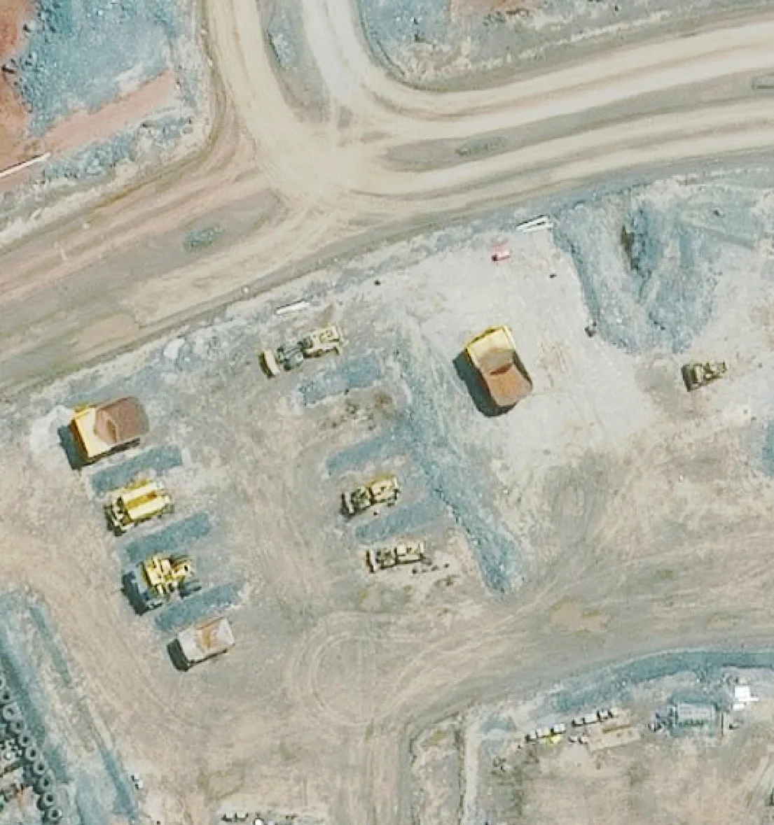
Mine Site Basemap
Haul trucks, dozers and laydowns
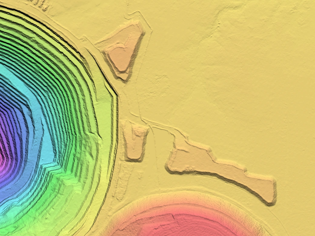
Pit Elevation
Pit benches and stockpiles
Continuous coverage along roads, railways, pipelines and transmission corridors for route planning, access and early assessment of site constraints.

Corridor Crossing
Roads, easements and creek crossings

Road Corridor
Highways and surrounding development
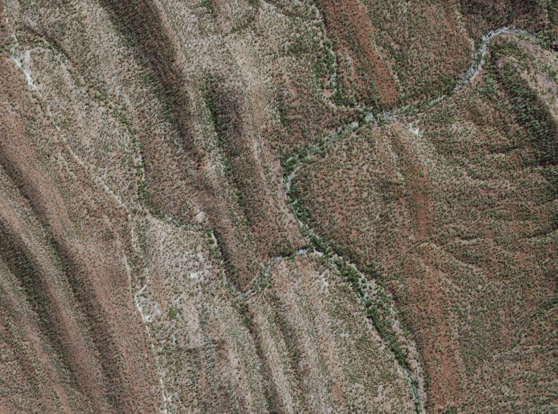
Terrain & Access
Ridges and drainage to cross
Imagery baselines for vegetation, land use and rehabilitation, paired with elevation data for reporting and ongoing monitoring.

River Corridor
Riparian vegetation baseline
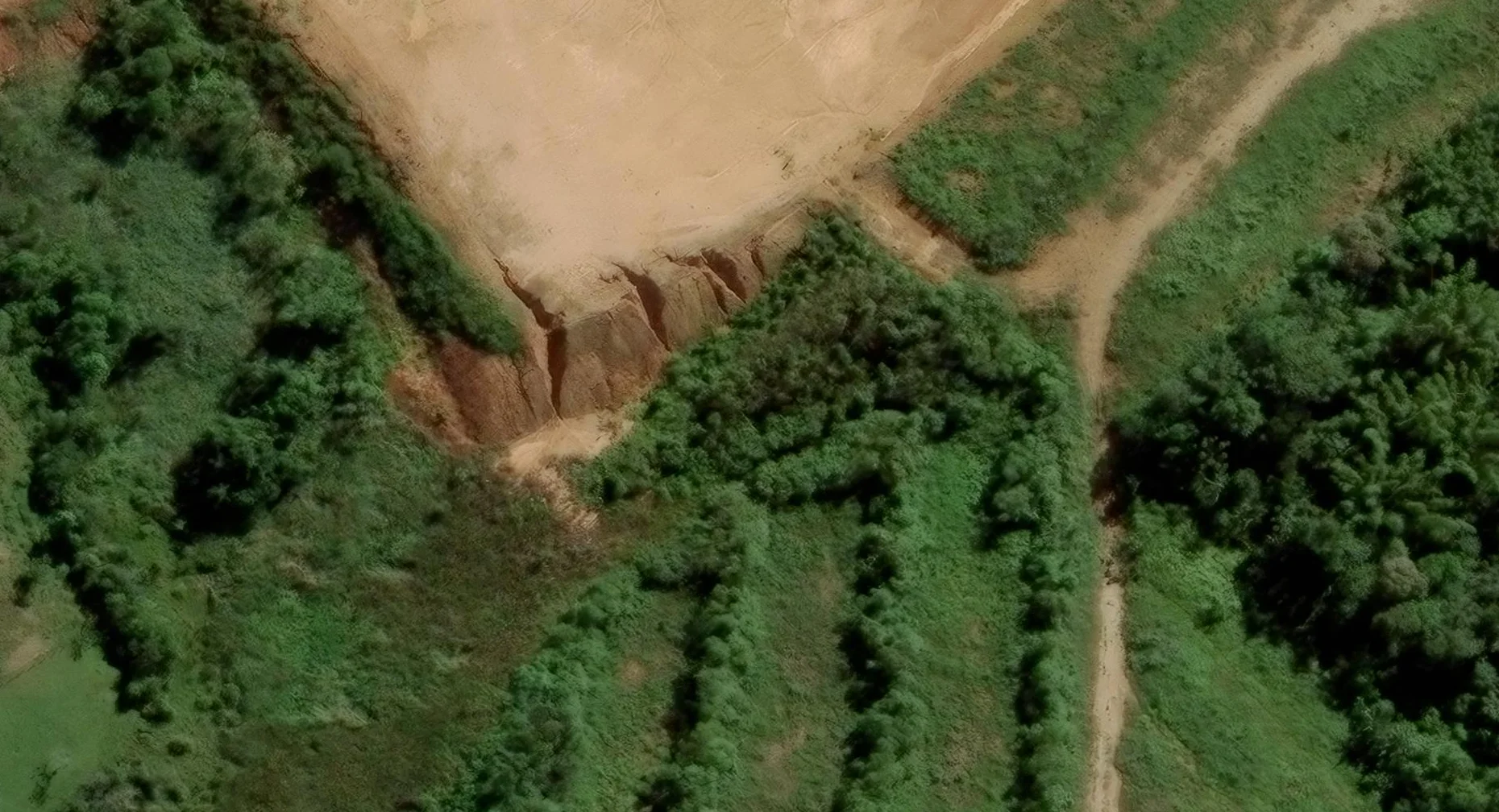
Erosion & Rehabilitation
Disturbance and recovery
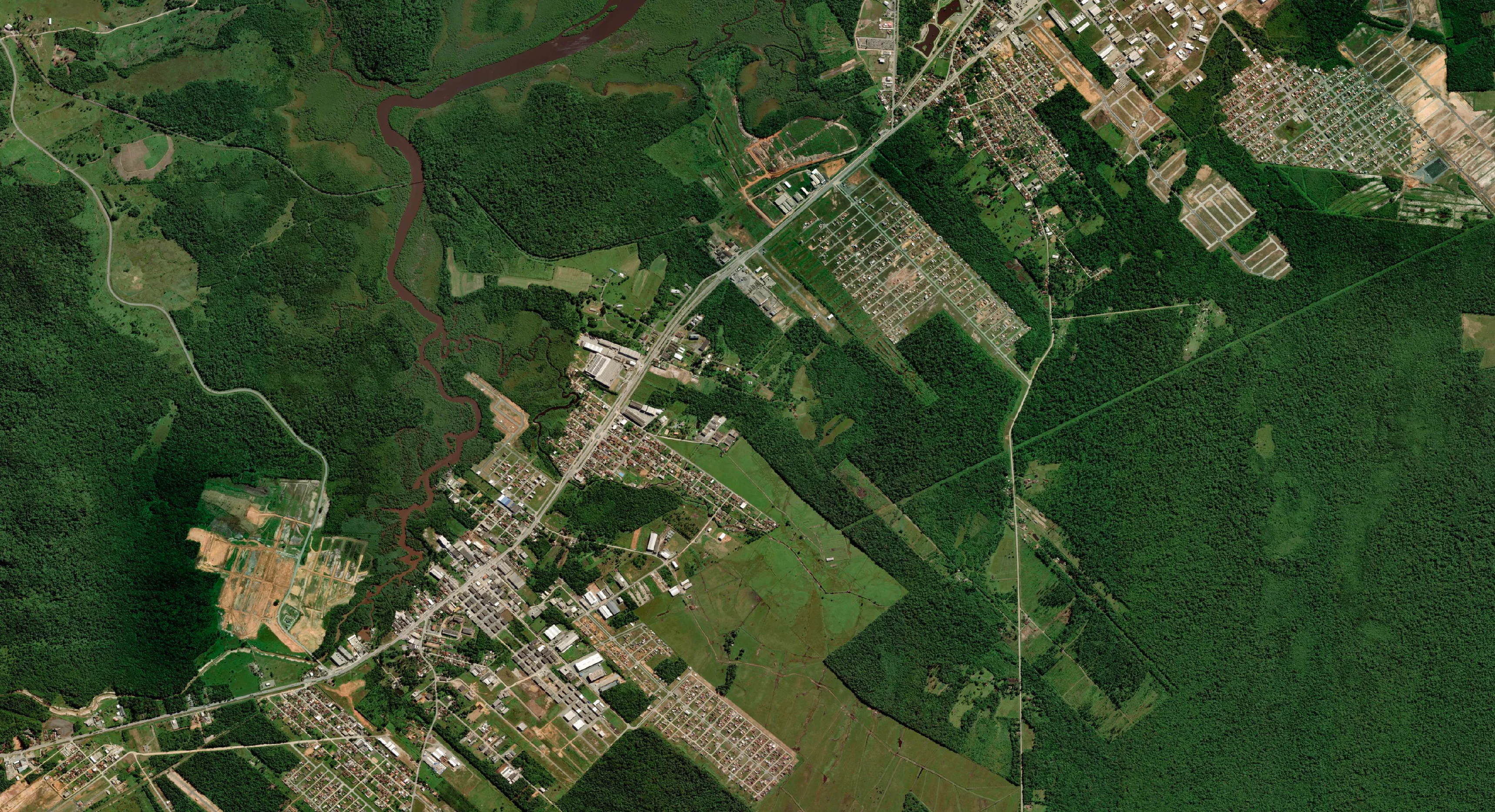
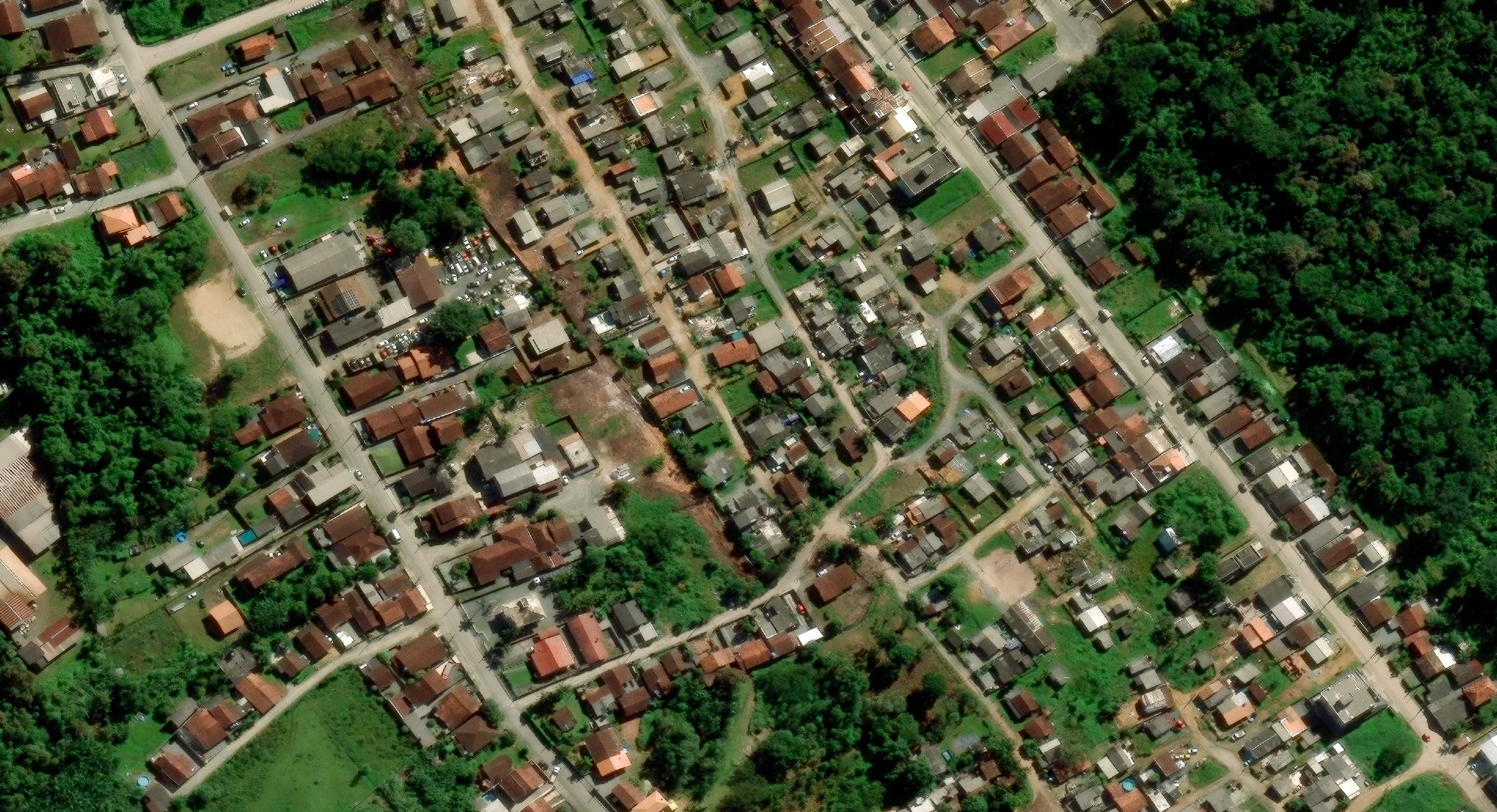
High-resolution imagery across towns, development areas and regional landscapes for land use assessment and planning.
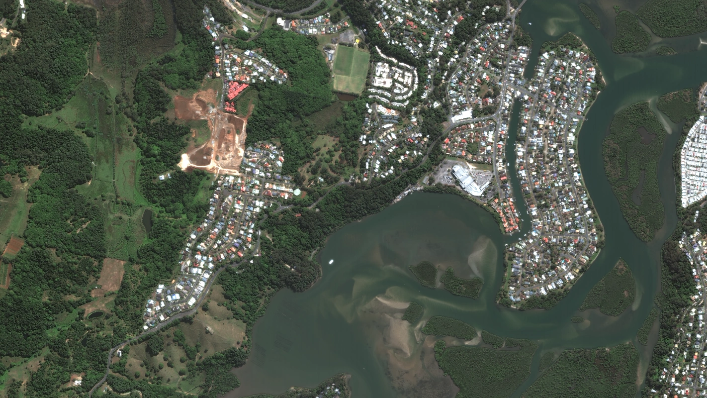
Regional Landscape
Towns, estuary and land use
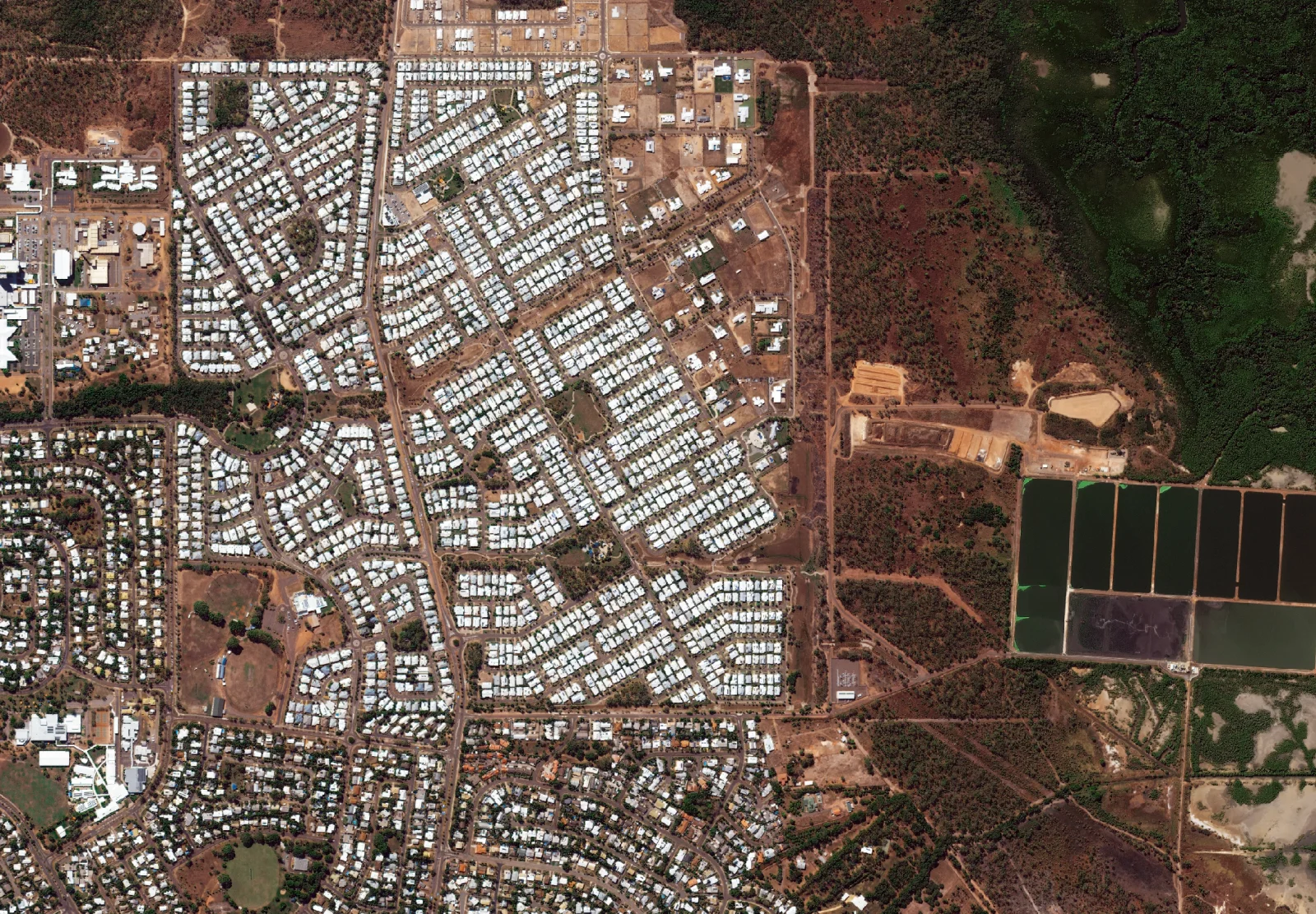
Residential Detail
Buildings, lots and streets
Realistic ground textures and 3D terrain for flight, driving and heavy equipment simulators, plus wind, water and connectivity modelling.
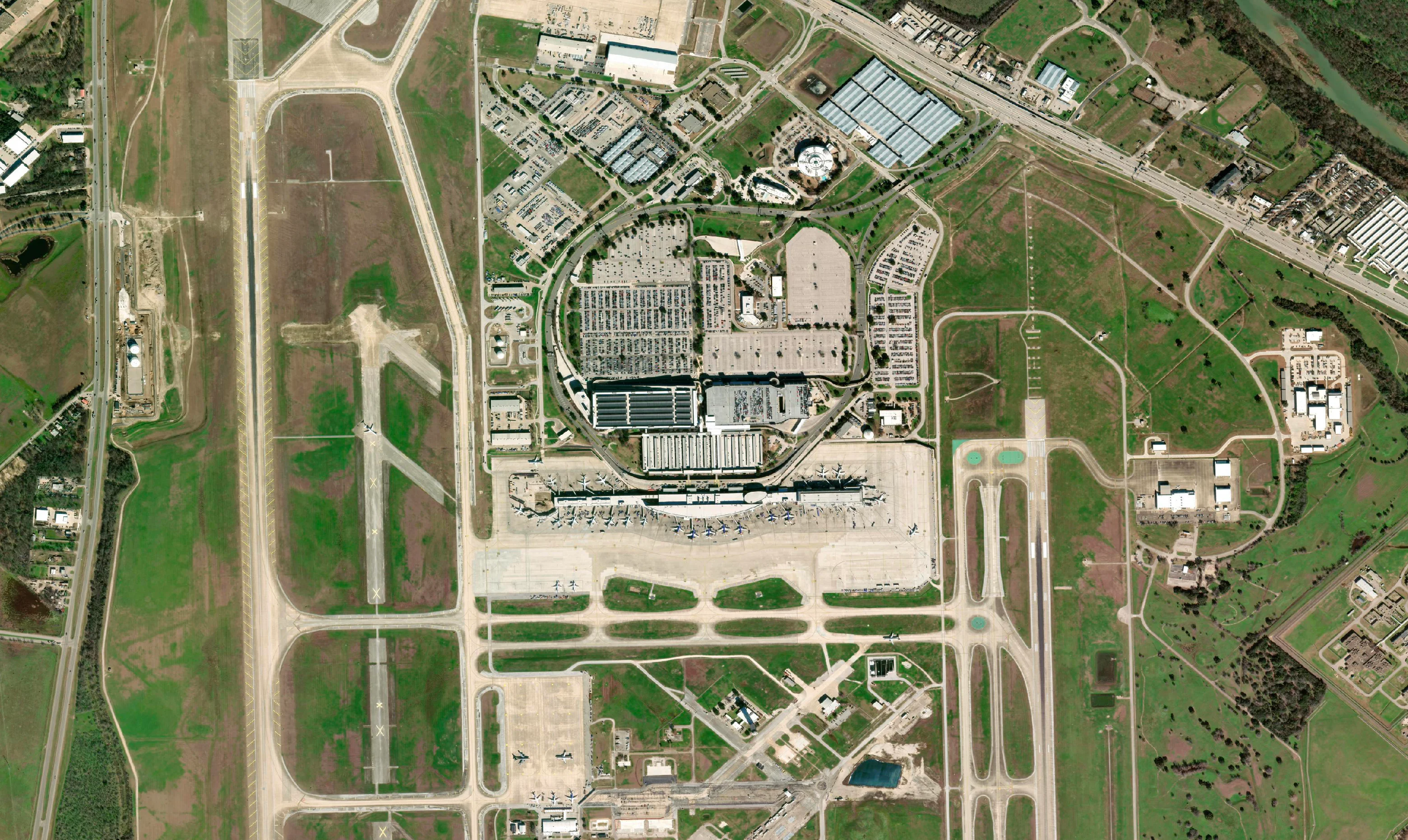
Flight Simulation
Airfields, approaches and surrounds
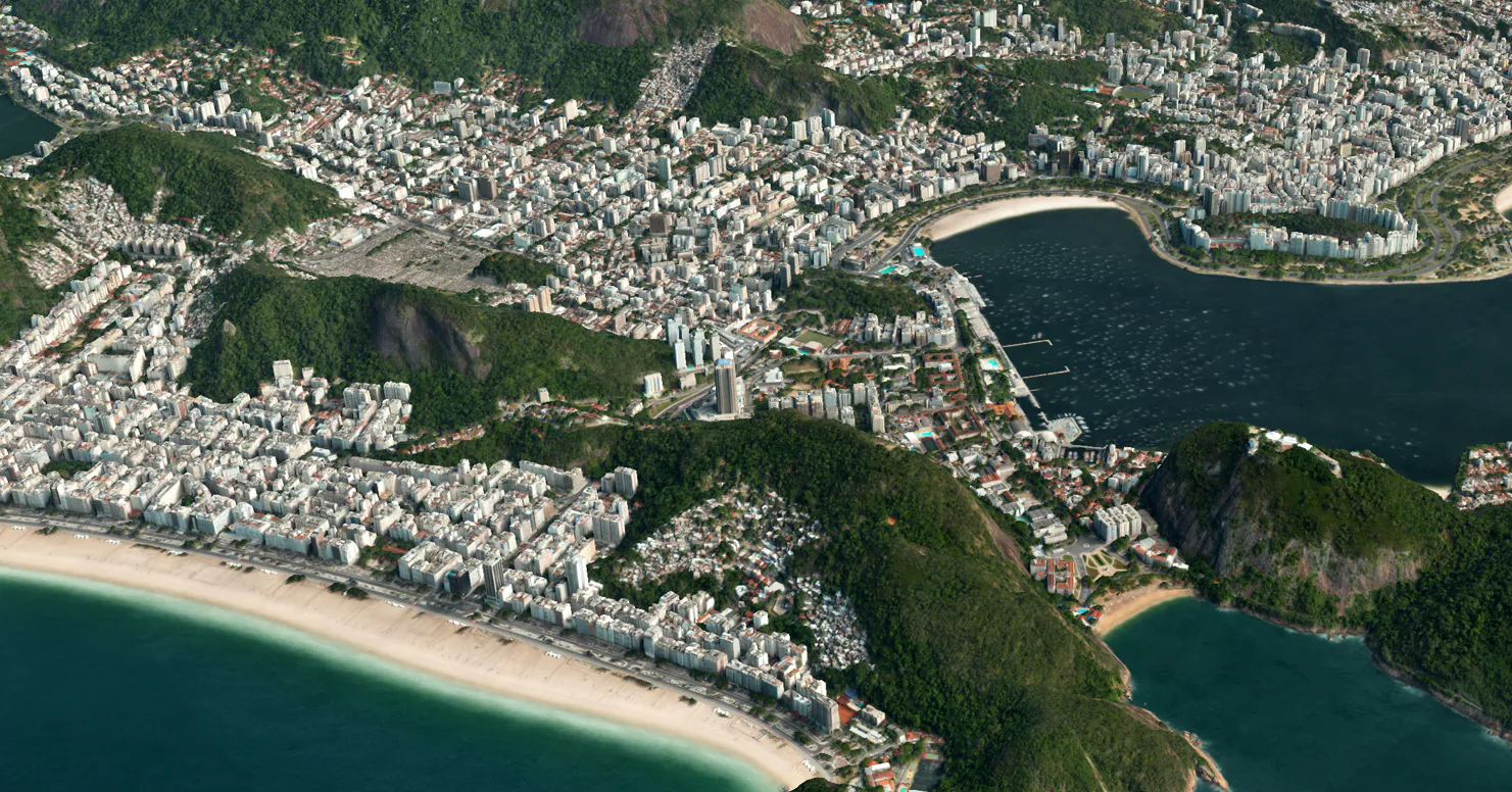
3D Environment
City and terrain in 3D
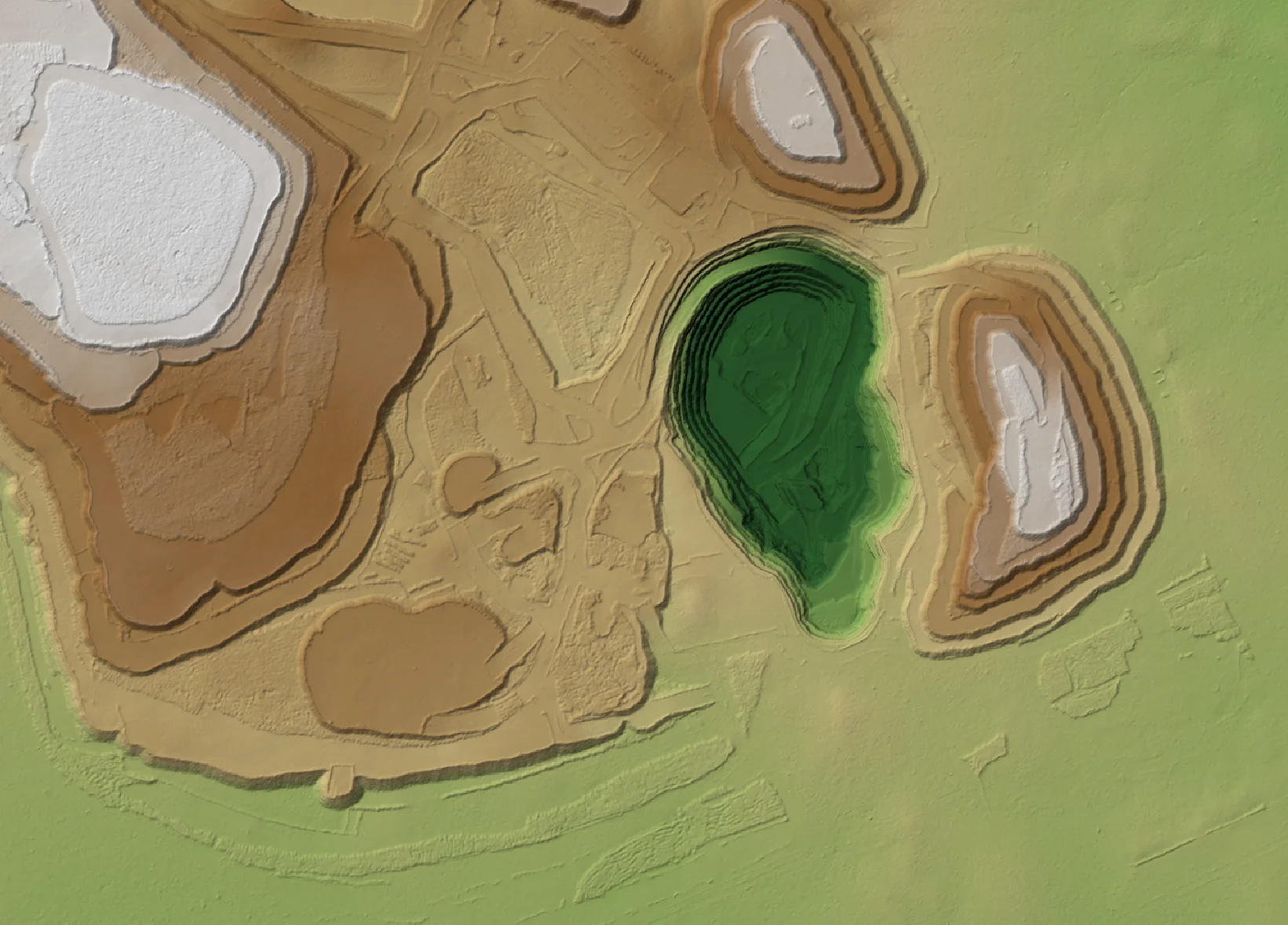
Terrain Simulation
Wind, water and connectivity
Common questions about satellite imagery basemaps, Vivid Mosaic and custom mosaics.
A satellite imagery basemap is a georeferenced image layer that provides visual context for mapping and spatial analysis. It can cover a local site or a much larger region and can be used alongside other GIS datasets.
A satellite image is an individual capture of an area at a particular time. A basemap provides a consistent imagery layer for mapping and visualisation and may combine multiple satellite captures into a seamless mosaic.
Vantor Vivid Mosaic is a high-resolution satellite imagery basemap product. It provides global 30cm imagery coverage, with 15cm HD imagery available across selected regions, for mapping, visualisation and spatial applications.
Yes. Terrabit can source suitable imagery and create custom mosaics around your area of interest. The approach depends on the required coverage, resolution, imagery availability and intended use.
Custom projects can incorporate suitable archive imagery or newly tasked satellite captures. Availability depends on the location, required resolution and acquisition conditions. Specific historical dates should be checked against available imagery.
Delivery options include ECW, GeoTIFF and Cloud Optimized GeoTIFF (COG), depending on the product and project requirements. Coordinate systems, projections and other delivery specifications can be selected to suit your workflow. Imagery can be delivered directly through Terrabit's sales team or accessed through the Albatross platform, depending on your project requirements and delivery preferences.
Tell us your area of interest and we will recommend Vivid Mosaic coverage or a custom mosaic, with delivery to suit your workflow.


