When purchasing satellite imagery, it's easy to get hung up on a single number, usually the smallest pixel size (30cm or 50cm). But resolution alone doesn't tell you whether the data will actually support your project goals.
Industry terms like resolution, ground sample distance (GSD) and accuracy are often used interchangeably, even though they describe very different aspects of image quality. Understanding their differences, and how they influence each other, will help you select imagery that actually fits your needs.
This guide breaks down what each term means in practice, why it matters and how to choose the right satellite imagery resolution and accuracy for your project.
Resolution vs GSD vs Accuracy at a Glance
Resolution vs GSD: What's the Difference?
What people mean by "resolution"
In remote sensing terminology, "resolution" is the headline number: 30cm, 50cm or 1m. It refers to the smallest feature the sensor can theoretically distinguish under ideal conditions.
However, this number alone can be misleading, because it doesn't describe how the image is sampled on the ground or how accurate it is. We cover the other dimensions of quality (spectral, temporal and atmospheric) in our guide to satellite imagery quality.
What GSD actually tells you
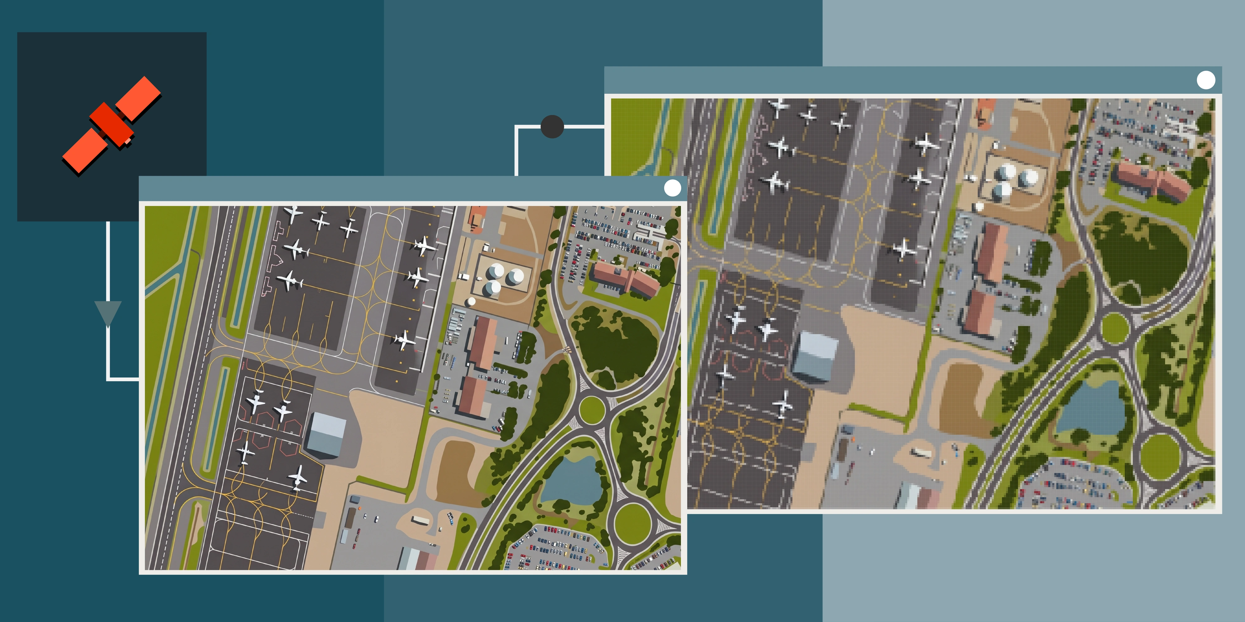
Ground Sample Distance (GSD) is the distance between the centres of adjacent pixels, measured on the ground. If an image has a 50cm GSD, each pixel represents a 50cm × 50cm area on the surface.
In real imagery:
- GSD tells you how much ground detail is captured per pixel.
- It is influenced by satellite altitude, off-nadir angle and any resampling or processing done after capture.
- Unlike headline resolution, GSD reflects how the data was actually acquired.
So when a product is advertised as 30cm, the effective GSD, once geometry and processing are factored in, can be larger. GSD is a more reliable indicator of usable spatial detail than the "resolution" number.
Quick note: Resolution is a sensor specification. GSD is how the sensor's data is actually sampled on the ground.
70cm
50cm
30cm
How off-nadir angle and processing change GSD
Satellites rarely image a site from directly overhead. To reach a target on a given pass, the sensor points sideways, and the angle away from straight down is the off-nadir angle.
The further off-nadir the capture, the longer the line of sight to the ground and the larger each pixel becomes. A sensor quoted at 31cm GSD at nadir samples at roughly 34cm at 20° off-nadir, and coarser again at steeper angles. Off-nadir captures also show more building lean and longer terrain displacement, which orthorectification has to correct.
Processing matters too. Many products are resampled to a tidy delivery size, so a scene captured at 34cm might be delivered on a 30cm grid. Resampling changes the pixel count, not the information content, so always ask for the native GSD and off-nadir angle of the actual capture, not just the product name.
Sun angle, haze and season also affect how much of that detail you can actually use, as the comparison below shows.
35cm
30cm
Accuracy: Why It's Often More Important Than Resolution
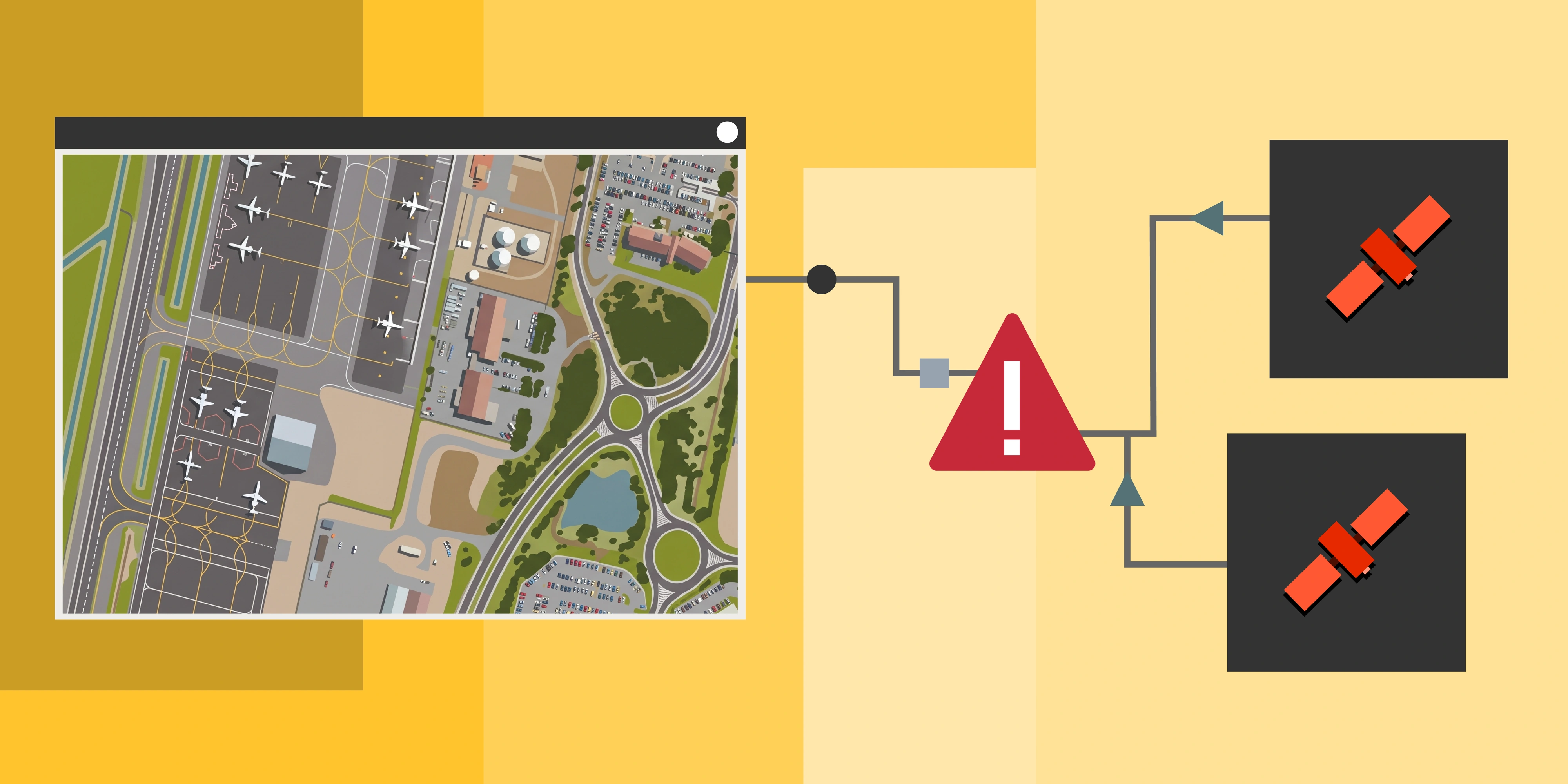
Resolution and GSD are about the detail captured in the image. Accuracy is about how well that image relates to real-world coordinates and features, which is essential if you intend to measure, align or run change detection.
There are two main forms of positional accuracy.
Absolute accuracy
Absolute accuracy describes how close each pixel is to its correct geographic location. It's usually expressed as an error value, such as ± to control, RMSE (root mean square error) or CE90 (the radius within which 90% of points fall). Vertical accuracy for elevation products is expressed as LE90.
Absolute accuracy matters when:
- Overlaying satellite imagery with previous data or GIS layers
- Performing measurement or change detection across multiple dates or sensors
Relative accuracy
Relative accuracy measures how consistent the positions of features are within the image dataset itself. High relative accuracy is critical for:
- Multi-date change detection
- Mosaic creation
- Tracking movement over time
An image can be very sharp (high resolution) but poorly aligned to real coordinates if it hasn't been correctly orthorectified. That makes accuracy a key factor for most precise or repeat analyses.
Little-known fact: satellite imagery is very accurate internally. Only a couple of ground control points are needed to bring absolute accuracy to within a couple of pixels.
Orthorectification, ground control and the DEM
Raw satellite imagery is positioned using the sensor model supplied with the capture. Orthorectification then removes distortion caused by terrain relief and viewing angle, using a digital elevation model (DEM). Three inputs decide the result:
- The sensor model: very-high-resolution satellites typically deliver a few metres CE90 without any ground control.
- Ground control points (GCPs): surveyed points visible in the image that tie it to real coordinates and can lift accuracy to sub-metre.
- The DEM: errors in the elevation model used for orthorectification become horizontal shifts in the image. A 10m height error at 20° off-nadir moves features by roughly 3.6m, so a coarse global DEM in steep terrain can undo the benefit of a sharp capture.
If you need defensible measurements, the DEM and control strategy matter as much as the pixel size. Our guide to DEMs from satellite imagery explains how elevation accuracy is specified.
A Practical Perspective: What Quality Do You Actually Need?
Many buyers fixate on the smallest pixel size available. But in real applications, the value of higher resolution diminishes rapidly unless it supports your specific task.
Here's how to think about it.
When higher detail makes sense
You might prioritise finer detail (30 to 50cm) if you're:
- Identifying individual tree crowns or assessing vegetation condition
- Counting or monitoring vehicles, light machinery and equipment
- Inspecting haul roads, stockpiles, benches and other surface features at mine sites
- Mapping small disturbances, erosion or rehabilitation progress
- Working in dense urban, industrial or complex environments where features are closely spaced
In these cases, finer resolution provides visual clarity that genuinely improves interpretation or identification.
Vegetation and tree crowns. In dense bushland, coarser pixels blend neighbouring crowns into a single texture. Finer resolution separates individual trees and the gaps between them, which matters for canopy counts, clearing boundaries and vegetation condition.
Vehicles, equipment and stored assets. Counting is where resolution makes the most visible difference. A large haul truck tyre spans only a handful of pixels at 70cm, so rows of tyres merge into continuous lines, while at 30cm individual tyres can be counted.
70cm
50cm
30cm
The same applies to vehicles. Haul trucks are large enough to spot at any of these resolutions, but light vehicles, smaller machinery and equipment layouts become far easier to count and classify as resolution improves.
Closely spaced features. In camps, towns and industrial yards, objects sit close together and coarser pixels blur the boundaries between them. Zooming into the same accommodation camp shown later in this guide, the sports court and buildings are clear at every resolution, but outdoor furniture, parked vehicles and the edges between structures only resolve cleanly at finer resolution.
70cm
50cm
30cm
Small disturbances and exploration clearing. Drill pads, tracks and small clearings are usually visible even in coarser imagery. Finer resolution adds confidence at the edges, showing individual shrubs, regrowth and exactly where clearing stops, which is what disturbance and rehabilitation reporting depends on.
70cm
50cm
30cm
Natural regrowth on disturbed ground. Whether vegetation returns through rehabilitation or on its own, tracking it depends on seeing plants while they are still small. At 70cm, young shrubs appear as dark specks that are hard to separate from shadow and soil, while at 30cm each plant's crown is distinct enough to count and track over time.
70cm
50cm
30cm
Zooming out shows the wider context. The young shrubs are naturally occurring regrowth across a clearing, beside a patch of more established vegetation.
When accuracy matters more
If your goal involves:
- Measuring change over time
- Comparing imagery with previous data (aerial or UAV)
- Producing maps or volumetric analyses
Then positional accuracy and orthorectification usually matter more than squeezing every last centimetre out of pixel size.
When coarser data is fit for purpose
For broad, regional tasks like:
- Large-scale land cover change detection
- Baseline trend analysis
Imagery with moderate resolution (70cm to 1m or more) can be both sufficient and cost-effective, especially when combined with larger swath widths for regional capture.
Site footprints and land use. At the scale of a whole camp or lease, the layout, access roads and surrounding vegetation read clearly at every resolution shown here.
70cm
50cm
30cm
Major infrastructure. Large plant such as conveyors, tanks and process ponds is also identifiable at 70cm, which makes coarser imagery a practical option for tracking site expansion or construction stages. Finer resolution becomes worthwhile when the goal is inspecting smaller fittings or equipment.
70cm
50cm
30cm
Matching resolution to the task
Resolution isn't the only thing that changes between captures. Sun angle and season change what stands out in a landscape, even at nearly identical resolution, so it's worth checking capture conditions as well as pixel size.
35cm
30cm
Where Vendors Fit Into the Quality Question
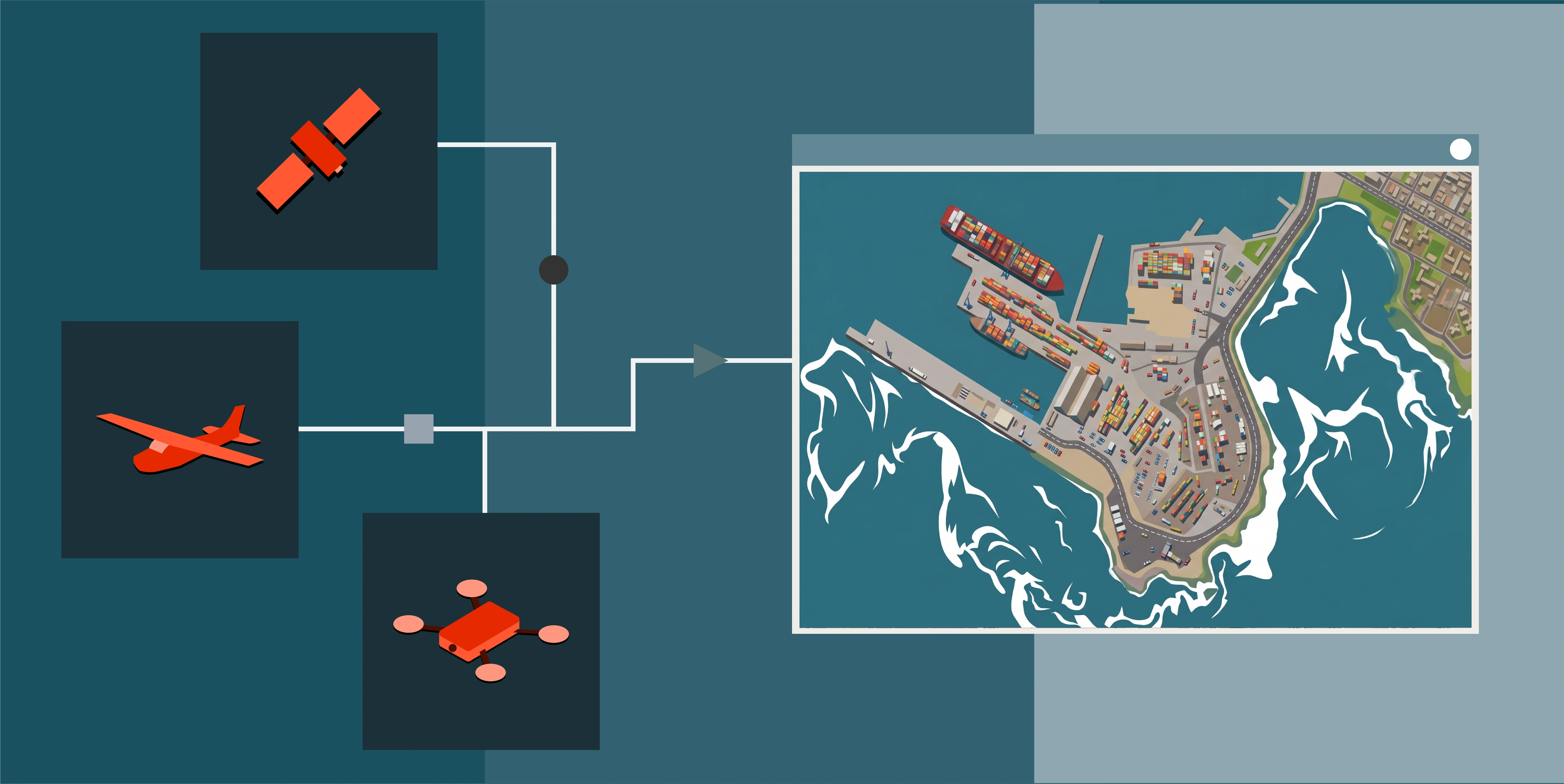
Different satellite constellations are optimised for different combinations of resolution, GSD, accuracy and revisit frequency. That's why there's no single "best" imagery source, only the best fit for the task.
Some providers prioritise very high spatial detail, while others focus on multispectral richness, geometric consistency or rapid revisit. In practice, Terrabit works with multiple vendors including SIIS, Vantor, Wyvern and BlackSky, so imagery can be selected and recommended based on what matters most for a given project, whether that's measurement accuracy, temporal change, spectral information or coverage.
The key is understanding what data suits your use case before choosing the data source.
Questions to Ask Before Ordering Satellite Imagery
Rather than asking "What's the highest resolution available?", start with these questions:
- What do I need to see, and what outcome do I want? This sets your GSD floor.
- How long will it take to capture, or is archive imagery OK? See our guide to archive vs tasking.
- What's the accuracy without control, compared to with control? Ask for CE90 or RMSE figures for both.
- Will the data be orthorectified, and against what DEM? A coarse DEM in steep terrain limits accuracy regardless of pixel size.
- What are the native GSD and off-nadir angle of the capture? These tell you what the delivered product really contains.
These attributes often influence project success far more than the headline resolution spec. For a wider checklist, see our complete guide to buying satellite imagery and the most common satellite imagery mistakes.
Frequently Asked Questions
Is GSD the same as resolution? No. GSD is the ground distance between pixel centres in the delivered image. Resolution is the smallest feature a sensor can distinguish in theory. The two are often quoted as the same number, but GSD reflects how the data was actually captured and processed.
Does a smaller GSD mean higher accuracy? Not necessarily. GSD describes detail, while accuracy describes position. A 30cm image with poor orthorectification can be several metres out, while a 70cm image tied to ground control can be positioned to within a pixel or two.
How does off-nadir angle affect GSD? The further off-nadir a capture is, the larger each pixel becomes and the more terrain and building lean must be corrected. Lower off-nadir angles give sharper, more geometrically consistent imagery.
What does CE90 mean? CE90 (circular error at 90%) is the radius within which 90% of image points fall relative to their true positions. A product with 5m CE90 means 90% of points are within 5m of where they should be.
Is 30cm or 50cm satellite imagery better? It depends on the task. 30cm suits counting vehicles, identifying equipment and mapping tree crowns. 50cm is often enough for haul roads, stockpiles and disturbance mapping, and usually costs less per square kilometre.
Final Thought
Resolution, GSD and accuracy each describe a different aspect of data quality. Focusing on one number alone, especially resolution, can lead to overspending or choosing imagery that doesn't meet your actual needs.
The best imagery isn't necessarily the sharpest. It's the imagery that reliably supports your analysis, measurement and decision-making.
If you're unsure what quality level is right for your project, it's usually much easier to ask first. Our experienced team can help you weigh GSD, accuracy and cost, and you can search archive imagery and compare captures across providers in Albatross.