Satellite imagery quality is critical across its many applications - from mine site planning and environmental monitoring through to disaster response and infrastructure analysis.
However, "high quality" isn't defined by a single metric. It depends on several key factors that influence how usable, accurate and consistent the final dataset is.
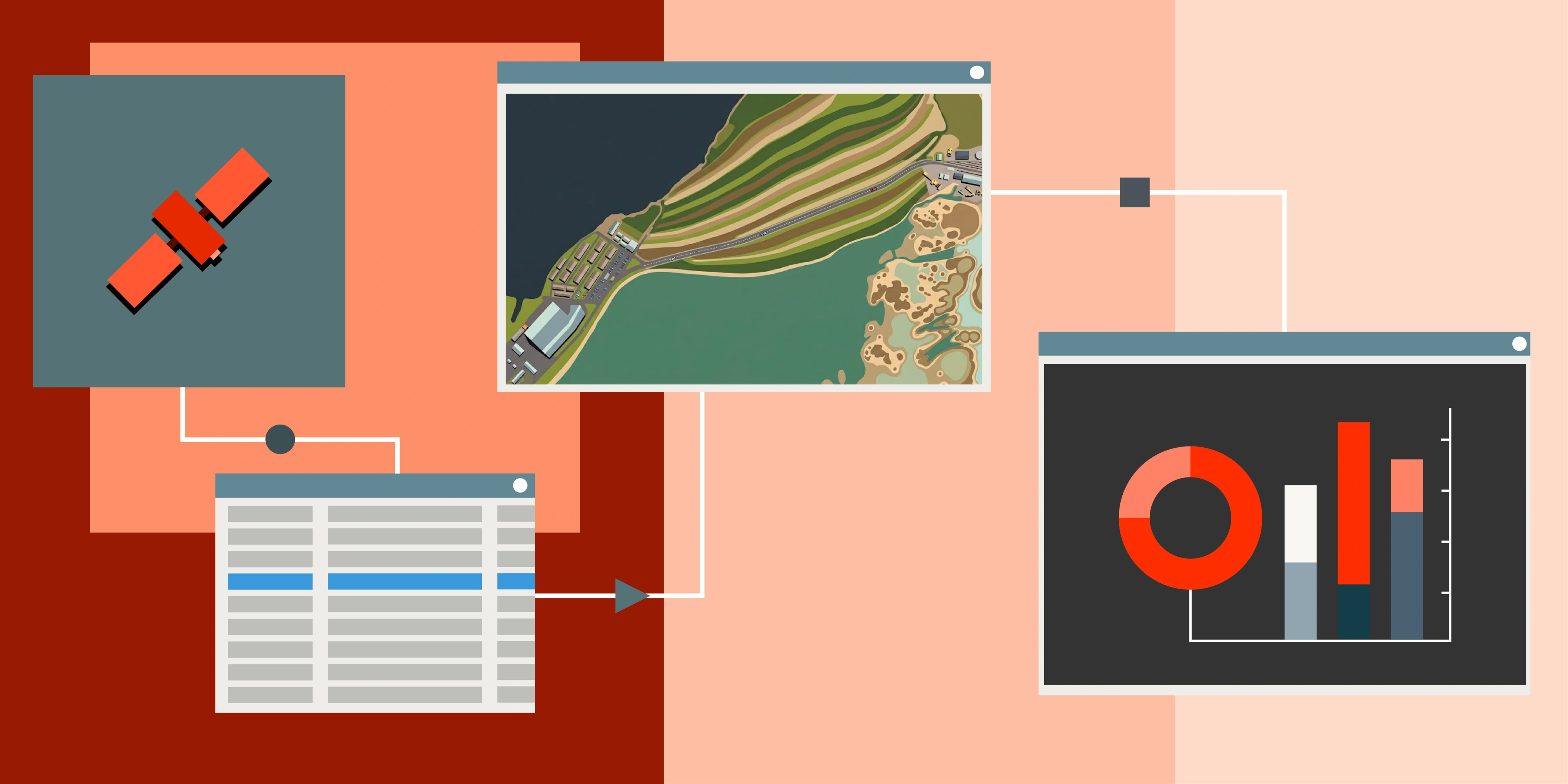
This blog breaks down the main components that define satellite imagery quality and why they matter in real-world workflows.
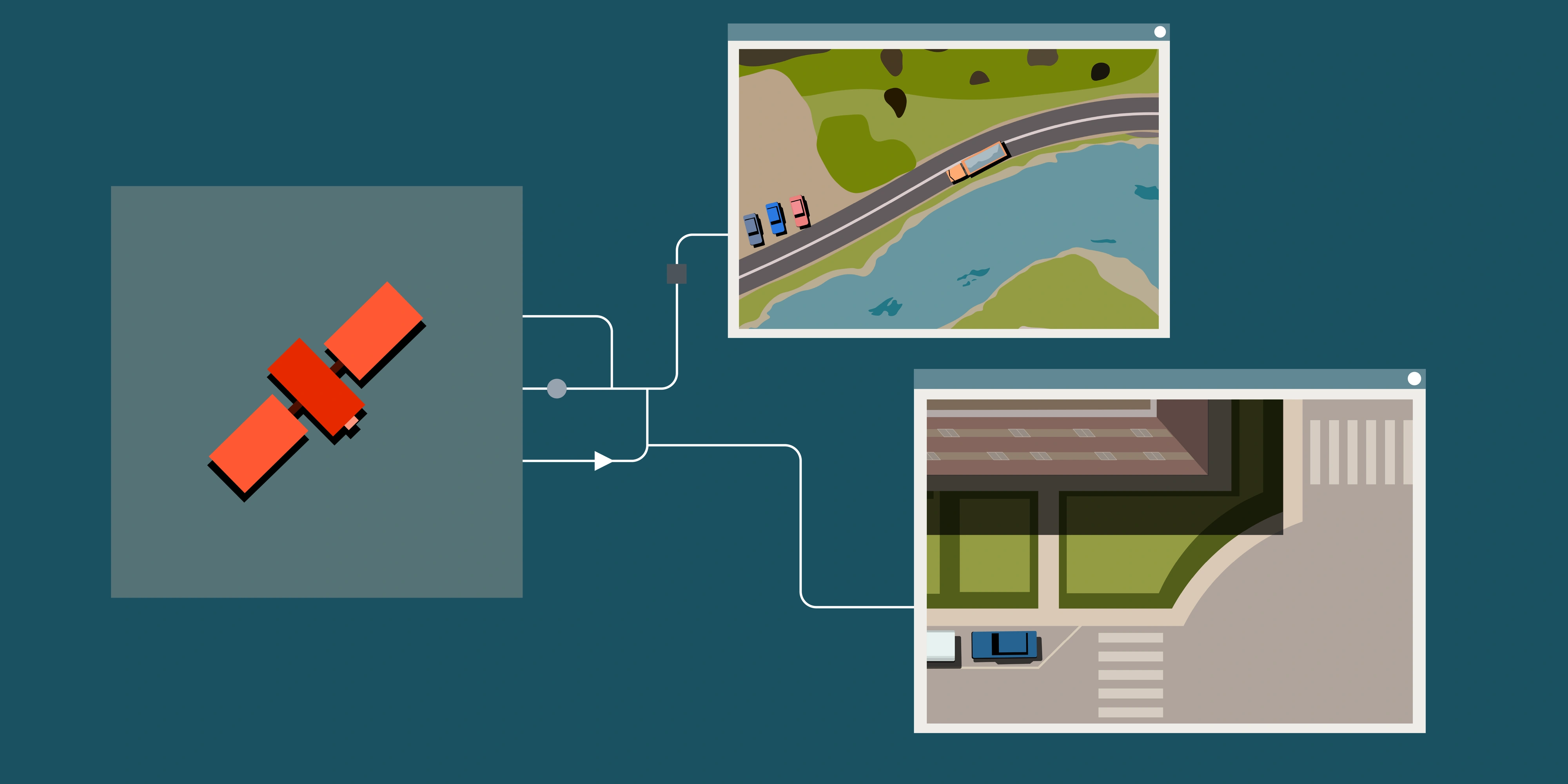
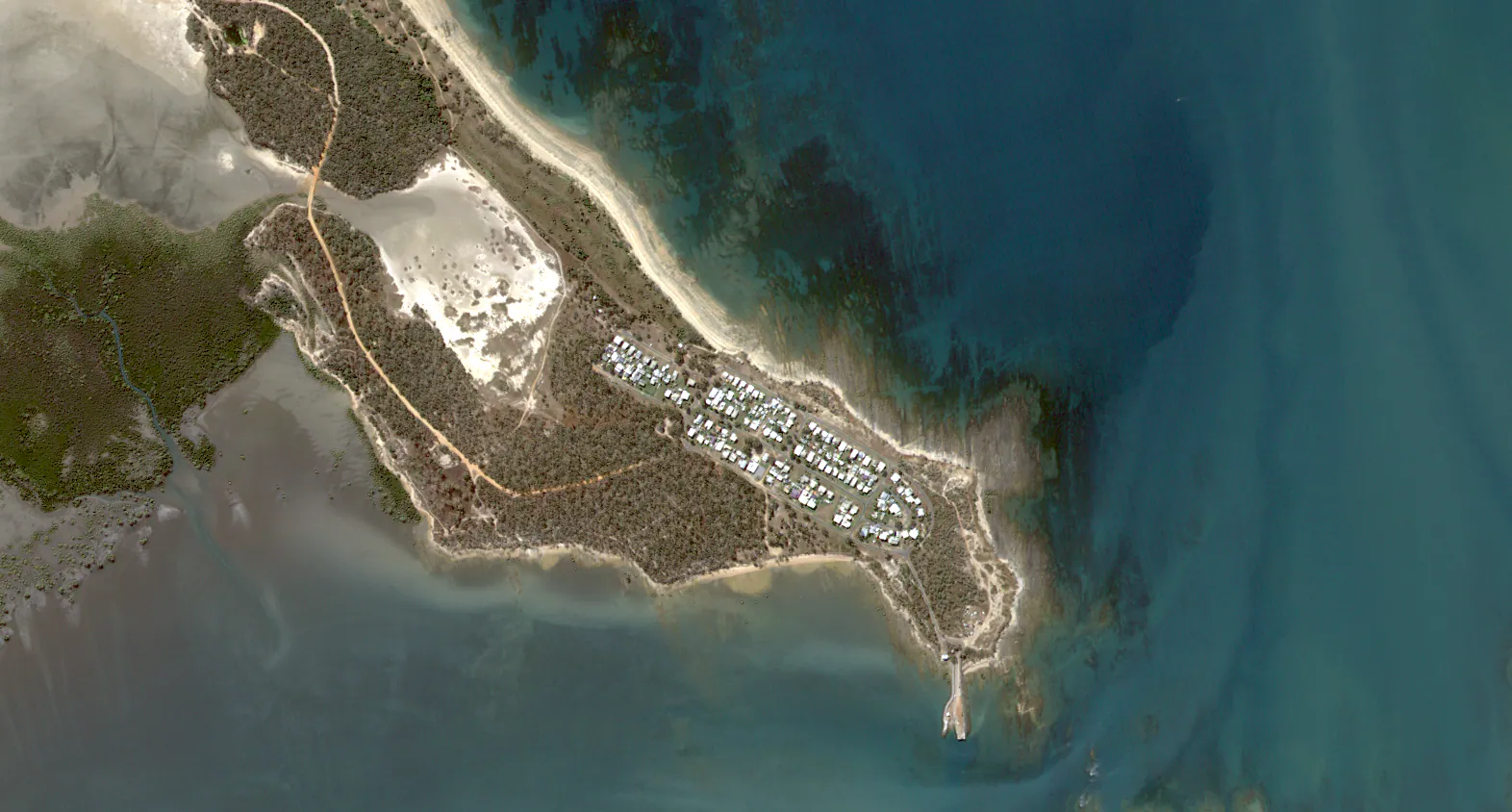
Spatial resolution
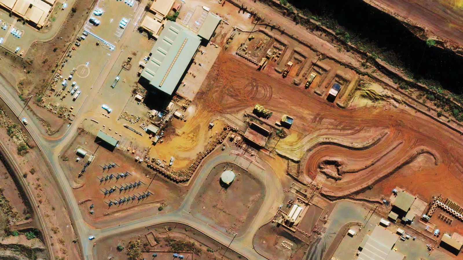
Spatial resolution refers to the smallest feature that a satellite sensor can distinguish on the ground. A higher spatial resolution means more detail, allowing us to identify smaller objects. For example, a satellite with 10m resolution might show a general outline of a forest, while one with 30cm resolution could reveal tree crowns or even reveal species of vegetation.
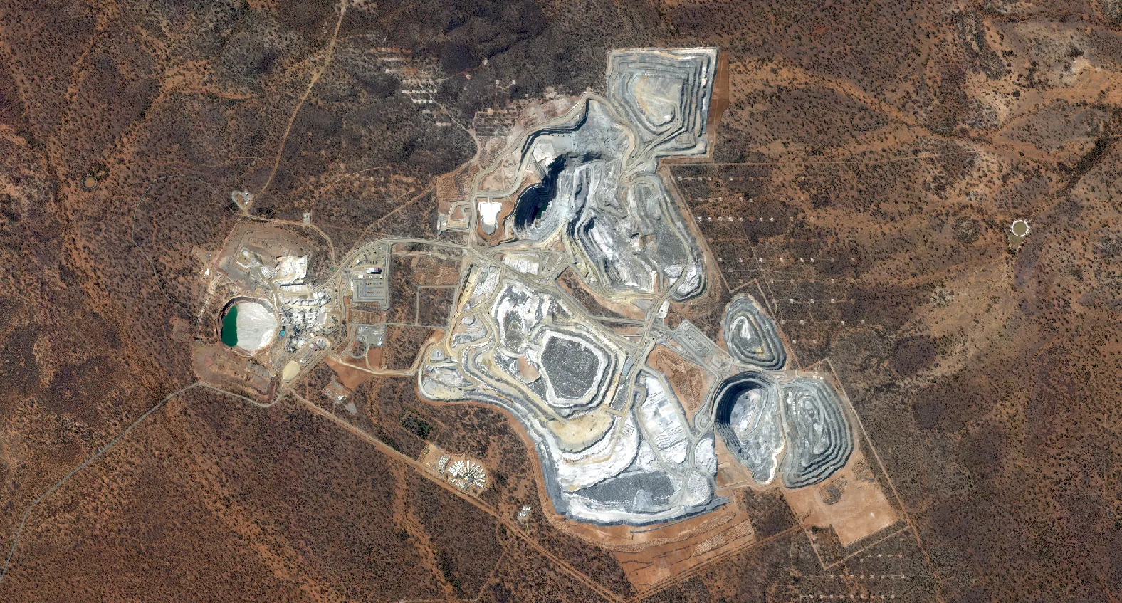
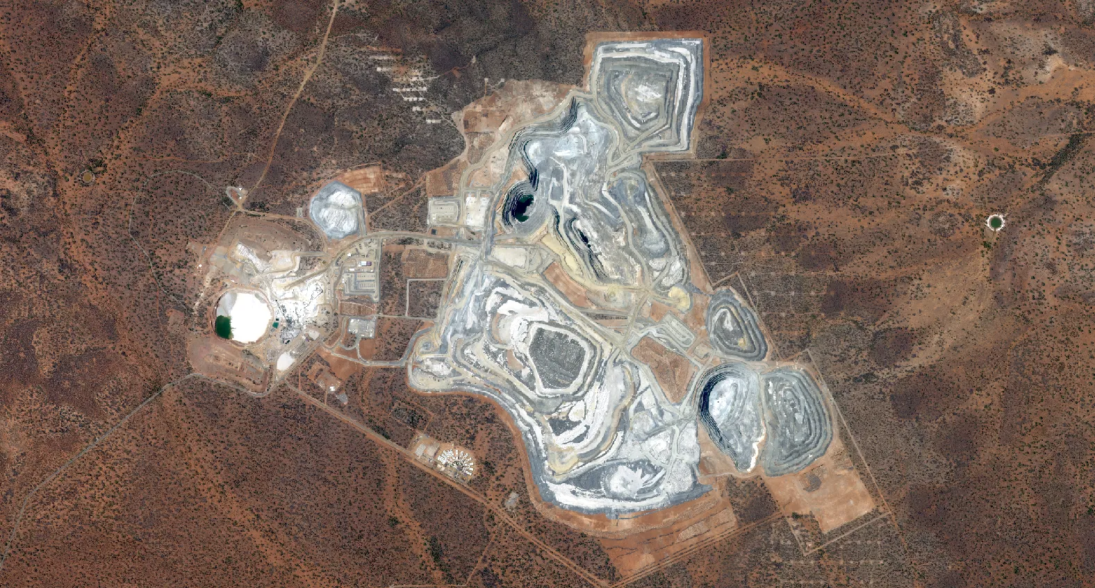
This is crucial for applications such as mine planning, where detailed operational footprints require reporting for compliance with rehabilitation or disturbance.
This is the first and key step before deciding on what resolution would be most suitable for your project.
Beyond the visible: spectral bands
Unlike other technology, satellite imagery typically comes with 4 multispectral bands even 100s of bands with hyperspectral.
Different materials on Earth reflect and absorb light differently across the electromagnetic spectrum (or spectral bands, more simply). By analysing these spectral "fingerprints," you can identify various features on the natural Earth.
For example, healthy vegetation strongly reflects near-infrared light, which is invisible to the human eye. Sensors with specific near-infrared bands can therefore assess vegetation health and differentiate between types of species, be it invasive or native.
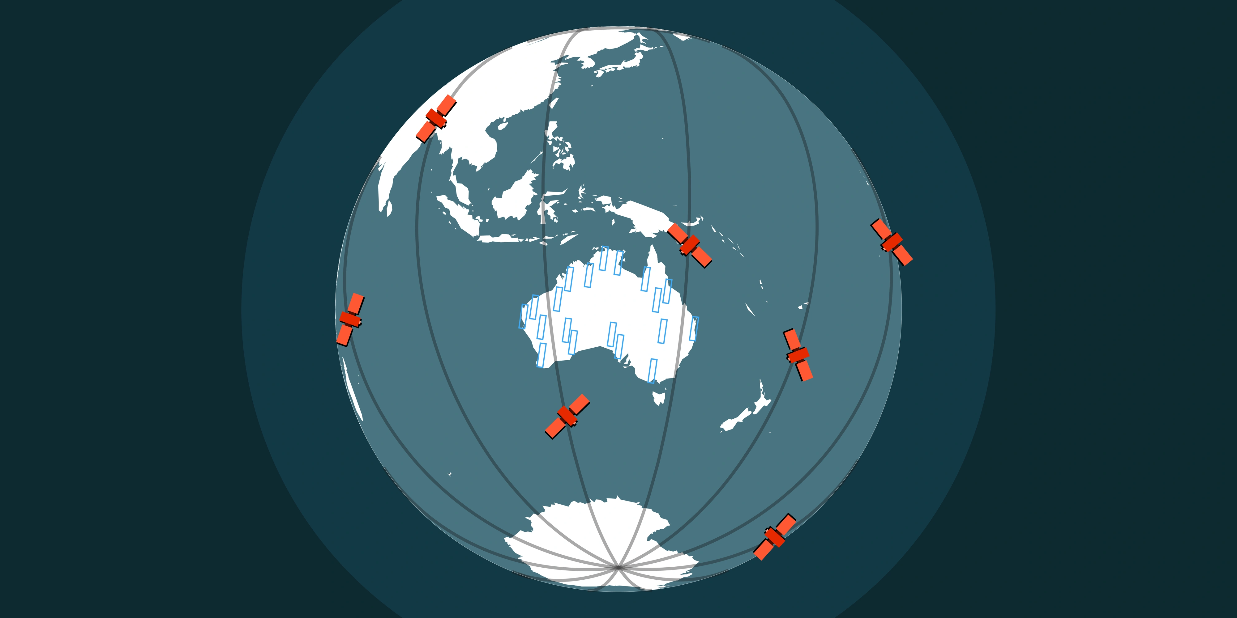
When time matters: temporal vs epochs
Temporal resolution refers to how frequently a satellite revisits and captures imagery over the same area. It also includes access to historical imagery, which enables analysis of how a location has changed over time.
Together, this creates both a near-real-time and historical view of the Earth's surface, supporting change detection and ongoing monitoring of dynamic environments.
In operational mining environments, for example, frequent revisit cycles are important for monitoring land disturbance and tracking how quickly sites are changing. This supports more accurate reporting for environmental compliance, operational planning and site management. Without sufficient temporal resolution, it becomes more difficult to reliably understand the timing and progression of change.
In addition to recent capture, high resolution satellite archives extending back into the early 2000s provide valuable historical context. When combined with new tasking, this enables both retrospective analysis and up-to-date monitoring using the most current available data.
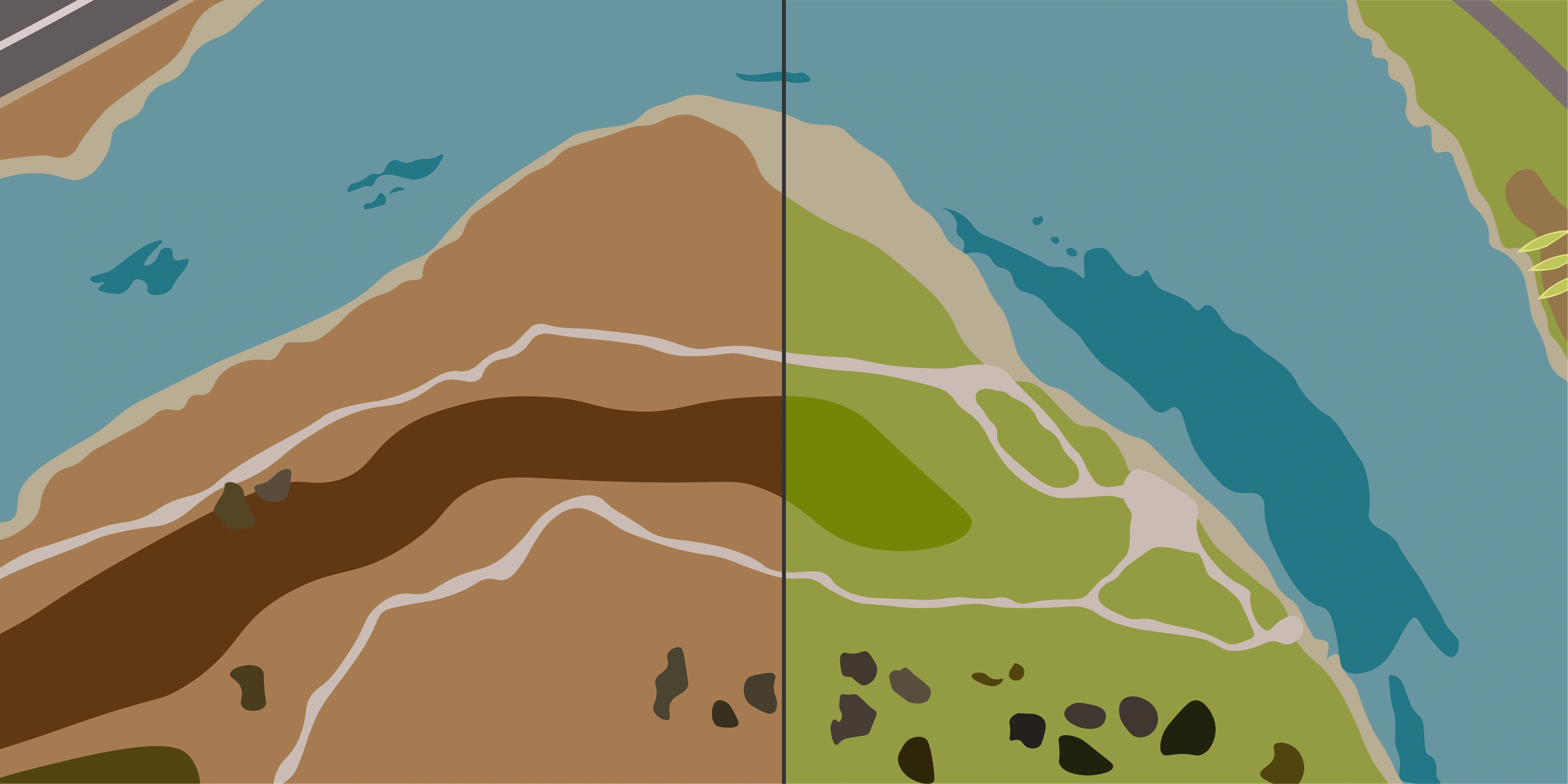
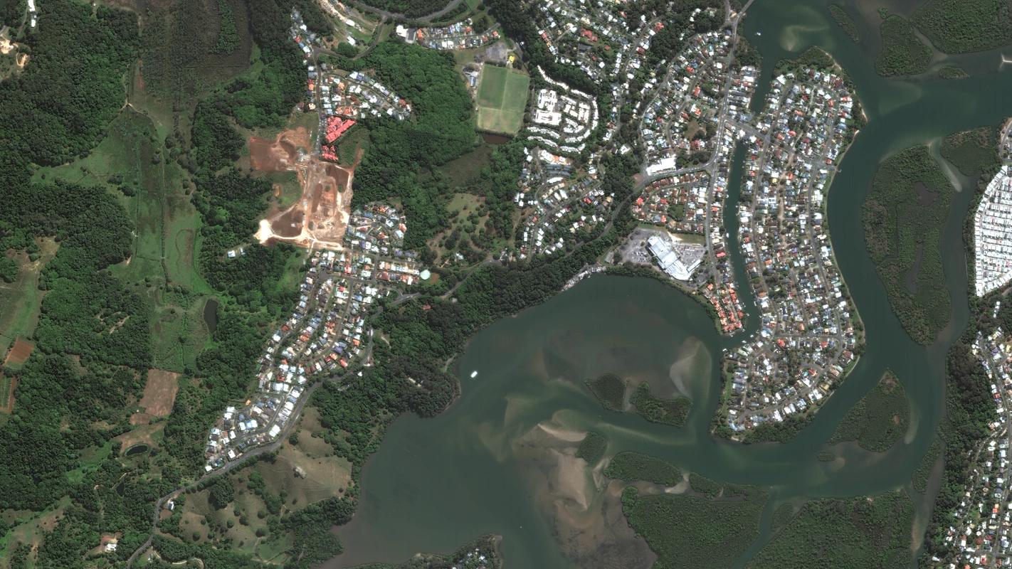
Impact of project size and swathes on timeliness
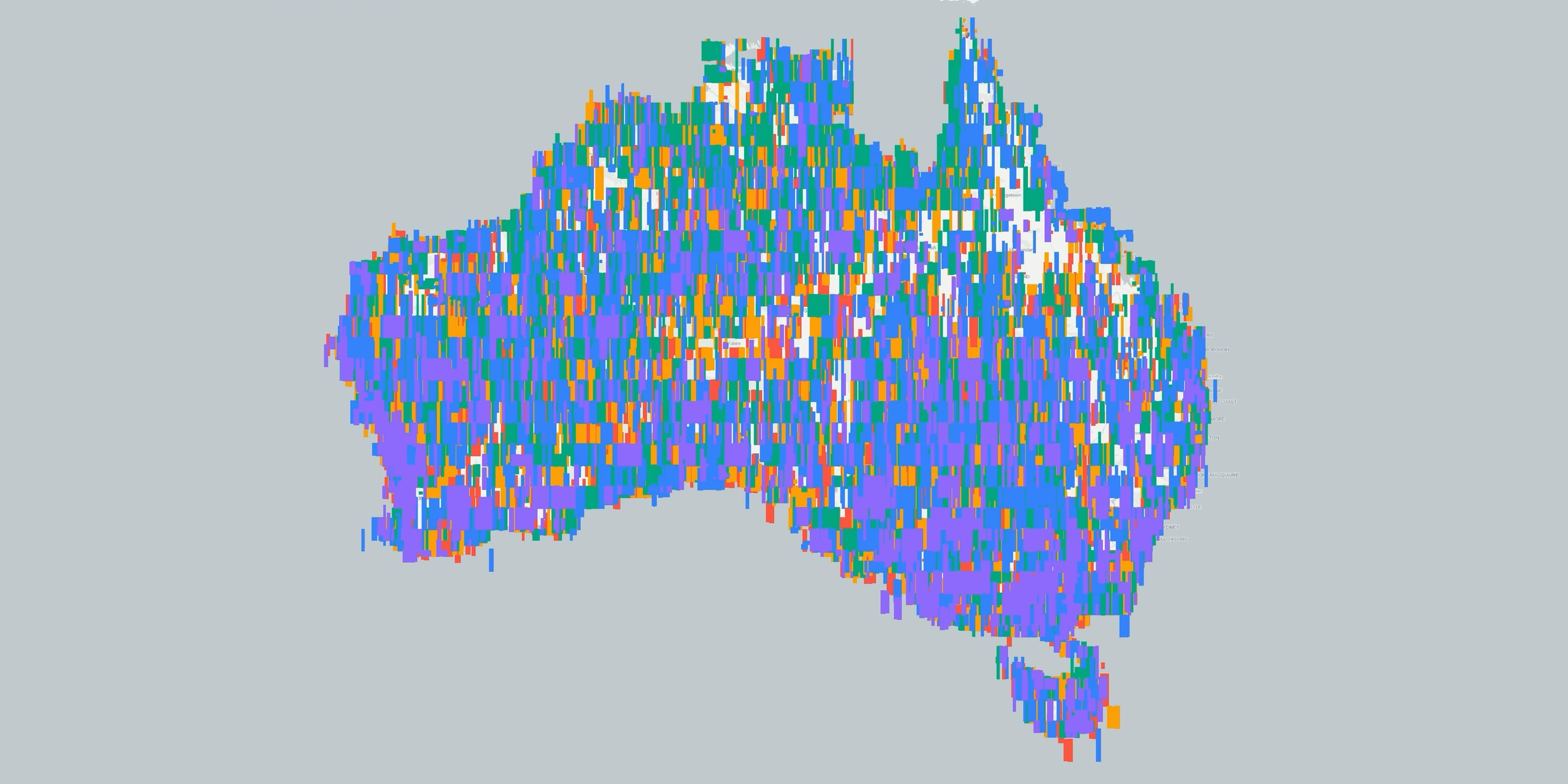
The size of the Area of Interest (AOI) and the number of satellite swathes required to cover it can significantly influence both acquisition timelines and the consistency of the final dataset.
Larger projects often require multiple satellite overpasses, which may span several days or even weeks depending on tasking schedules and orbital constraints. This extended collection period can introduce variability in seasonal conditions, lighting and sensor geometry across different swathes.
For example, imagery captured over a large region such as the Pilbara may require multiple swathes to achieve full coverage. These can vary in vegetation conditions, capture angles (from 0° to 25° off-nadir) and sun angle - all of which can impact how seamlessly the dataset can be mosaicked and colour balanced.
To address these challenges, specialised processing workflows are used to harmonise imagery across the full Area of Interest. This typically includes geometric correction, radiometric balancing and alignment to ground control, ensuring the final dataset is spatially consistent and suitable for analysis across the entire region.
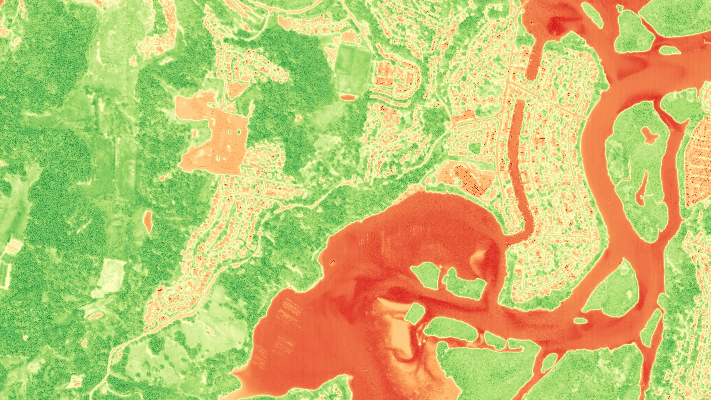
Atmospheric corrections
Atmospheric corrections are essential for enhancing the quality of satellite imagery by compensating for distortions caused by particles, gases and water vapor in the Earth's atmosphere. These distortions can affect the radiance and reflectance values captured by the satellite, leading to misleading data.
By applying atmospheric correction algorithms and careful pre-processing steps, the imagery becomes more reliable for analysing. Ensuring consistent, true-color representations and accurate surface reflectance values. This is especially important for applications like environmental monitoring, agriculture and land cover classification, where precise measurements are critical.
Conclusion
High-quality satellite imagery is the foundation of accurate, actionable insights across a wide range of applications - from mine site planning and environmental monitoring through to disaster response and vegetation analysis.
Selecting the right dataset requires consideration of several key factors, including spatial resolution, spectral bands, temporal frequency, project scale and atmospheric conditions. Understanding how these elements interact helps ensure imagery is fit for purpose and suitable for reliable analysis.
When these factors are appropriately aligned, satellite imagery becomes a powerful input for decision-making, enabling more accurate interpretation of change, condition and spatial relationships across the landscape.