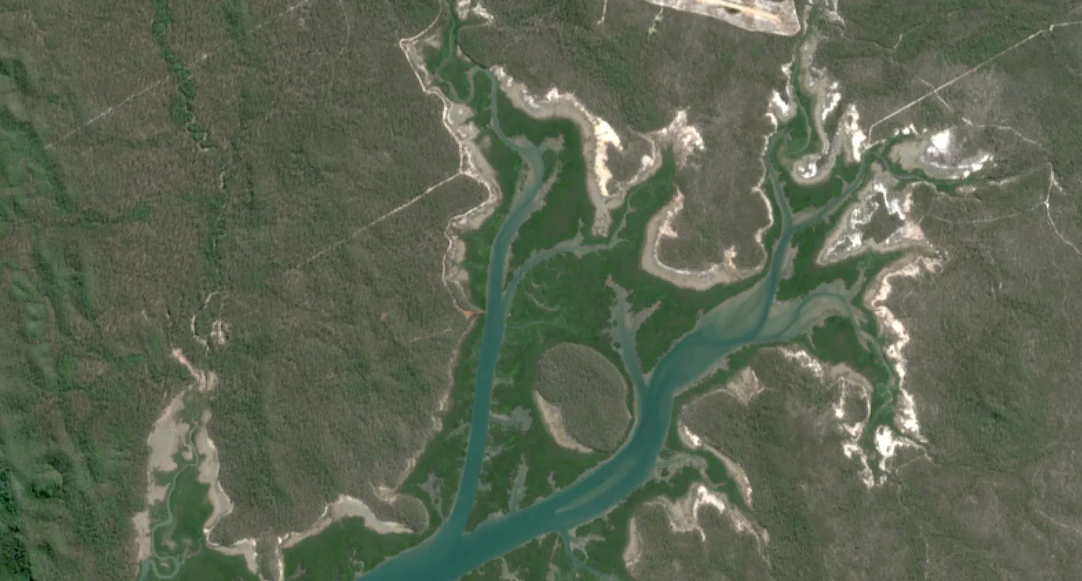
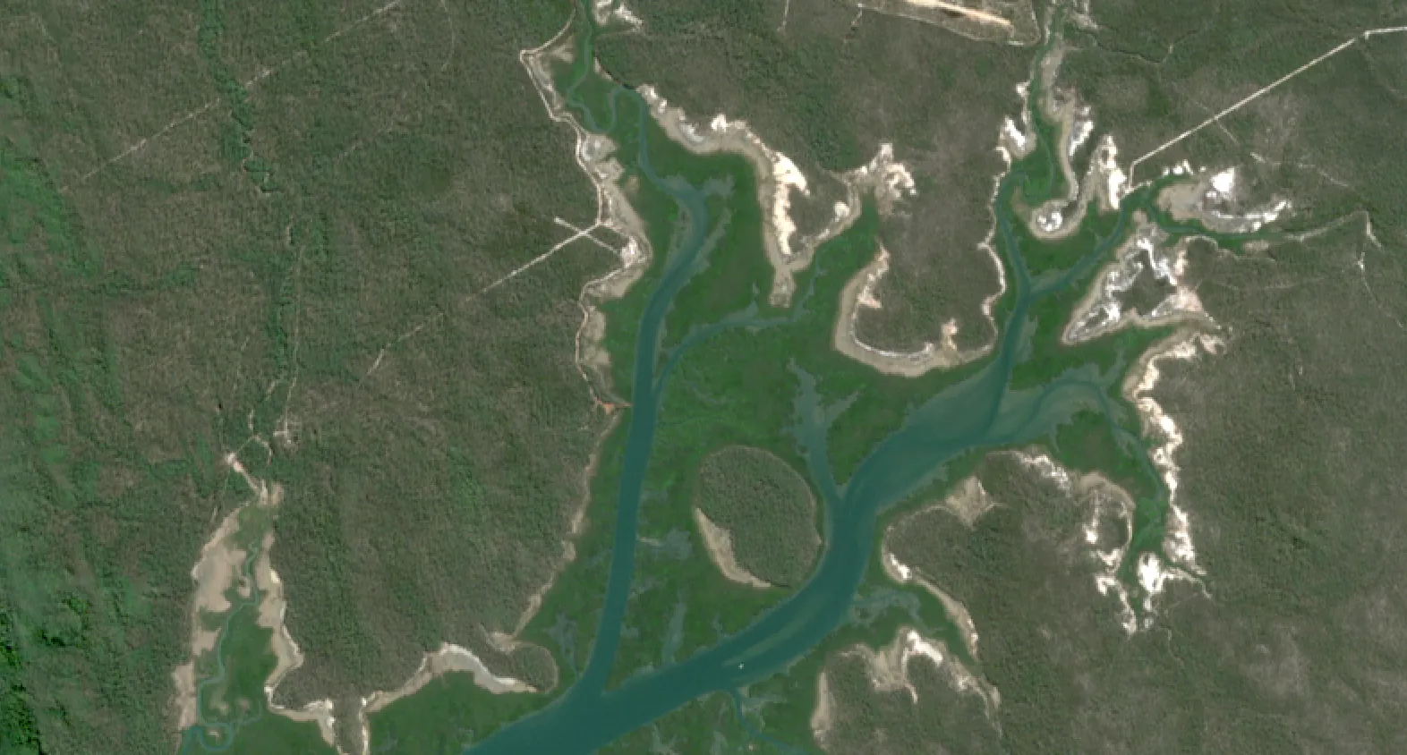
Satellite imagery lets us see Earth from space - but it’s far more than just pretty pictures. It’s information. It’s insight. It’s the backbone of decision‑making in sectors from mining to urban planning, environmental monitoring to disaster response.
In this article, we explain how satellite imagery works, the different types, what you can do with it, and where the technology is heading. By the end, you’ll see why satellite imagery isn’t just “nice to have” - it’s becoming essential.
What Exactly Is Satellite Imagery?
Satellite imagery refers to photos or data collected by Earth observation satellites orbiting the planet that capture visual, infrared, thermal, radar or other spectral information. These images are used to map, monitor and analyse Earth's surface.
To be useful, satellite imagery is:
- Processed to remove distortions and align with previous data or GPS coordinates
- Calibrated so measurements are comparable across atmospheric conditions
- Packaged into formats that can be analysed by GIS software or AI tools
This transformation from raw data to actionable insight is what makes satellite imagery so powerful for commercial, research and government use.
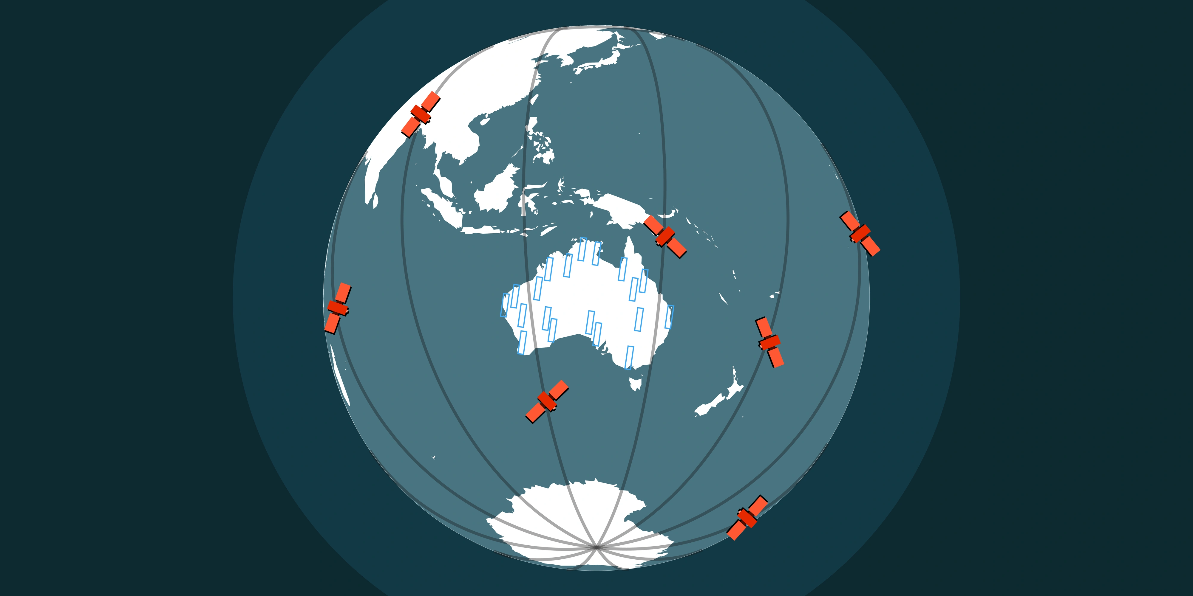
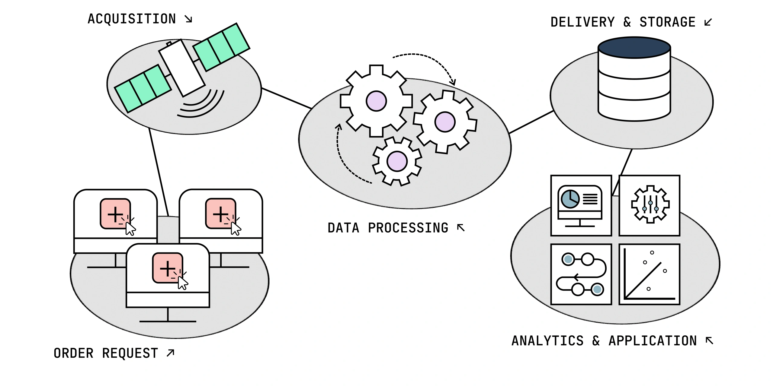
How It Works - From Space to Insight
Here’s what happens between a satellite passing overhead and you receiving usable imagery:
- Orbit & Sensor Types
- The satellite’s orbit (sun‑synchronous or mid‑inclination) determines when and how often it can view a given location.
- Sensors vary: optical (visible light), multispectral, hyperspectral, thermal, radar (SAR). Each has strengths and trade‑offs.
- Data Capture
- As the satellite passes over an area, its sensors record reflected light, heat or radar signals.
- Some sensors work day or night, through clouds; others need clear skies and daylight.
- Transmission & Ground Stations
- The satellite beams data to ground stations where it’s stored and queued for initial QC and processing.
- Some satellites have near real‑time downlink; others may have a delay depending on their orbit.
- Processing & Correction
- Raw data is corrected for atmospheric effects, sensor noise, and geometric distortion.
- It’s orthorectified so each pixel lines up with its real‑world coordinates and corrected for terrain.
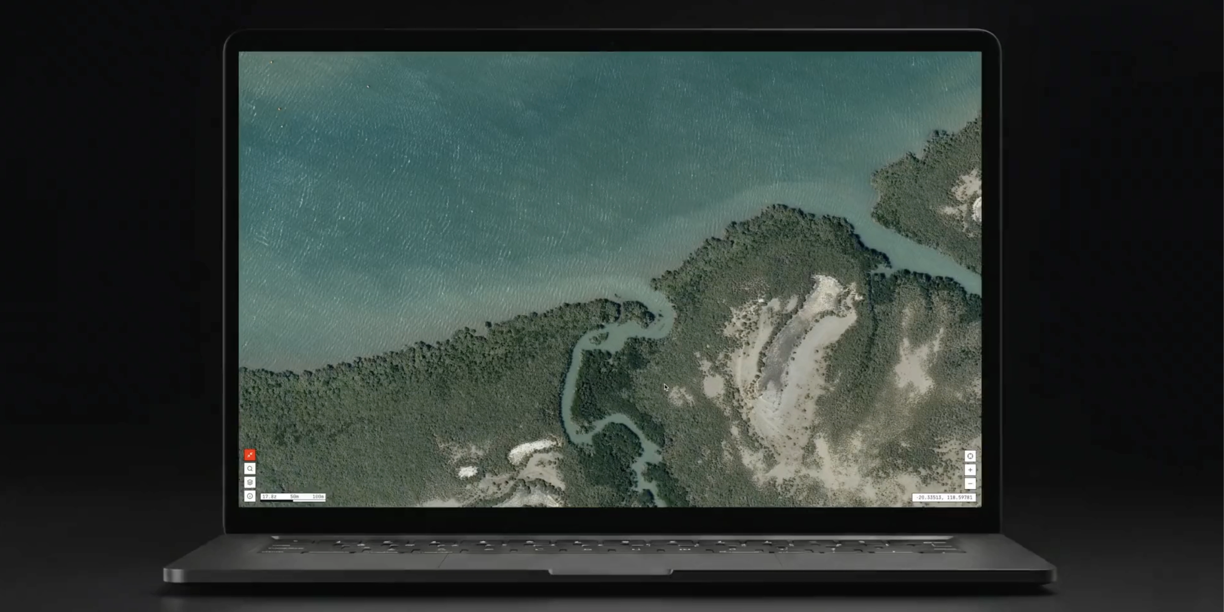
- Analysis & Insight
- Imagery can then be mosaicked, pansharpened (if in bundle format) and analysed for specific insights - common ones include: vegetation health, water levels, construction progress and change detection/disturbance mapping.
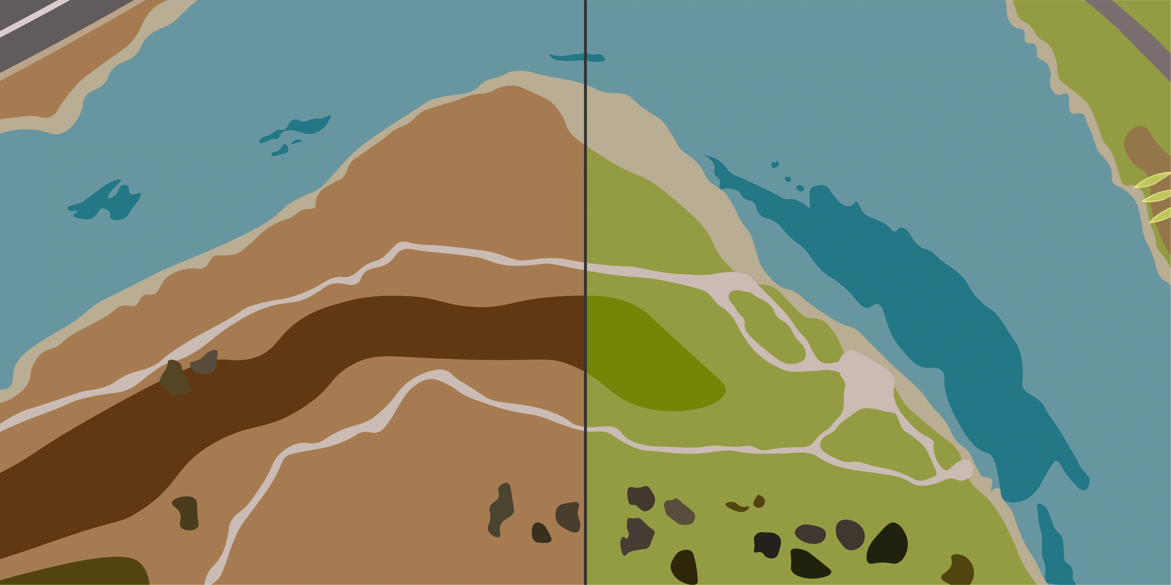
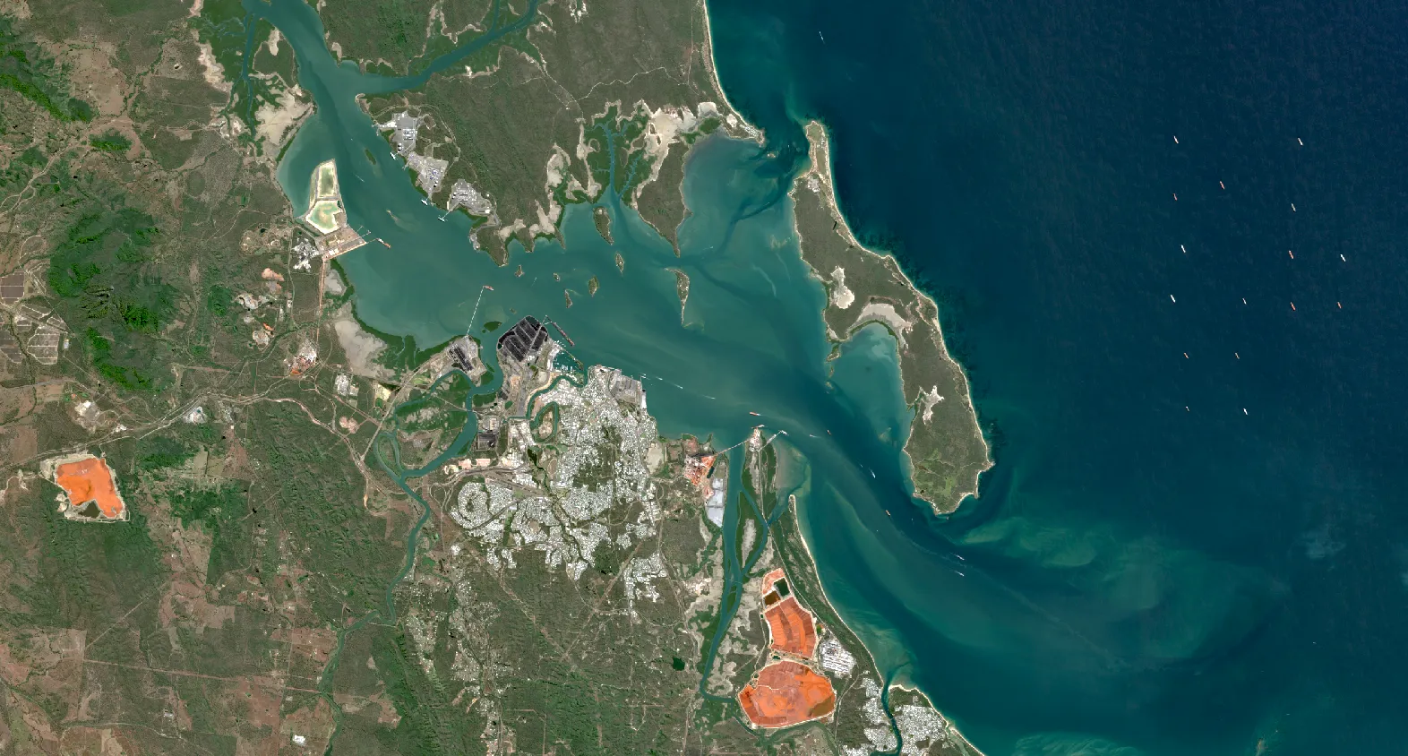
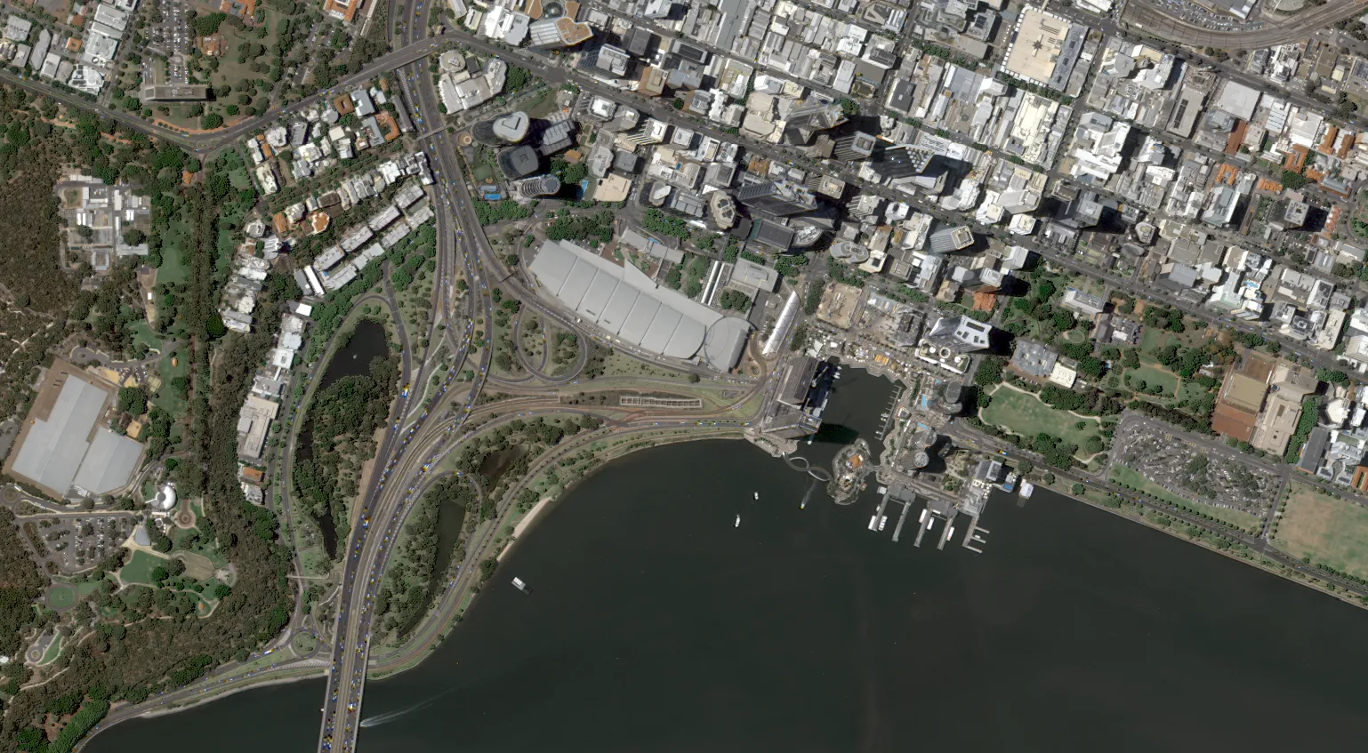
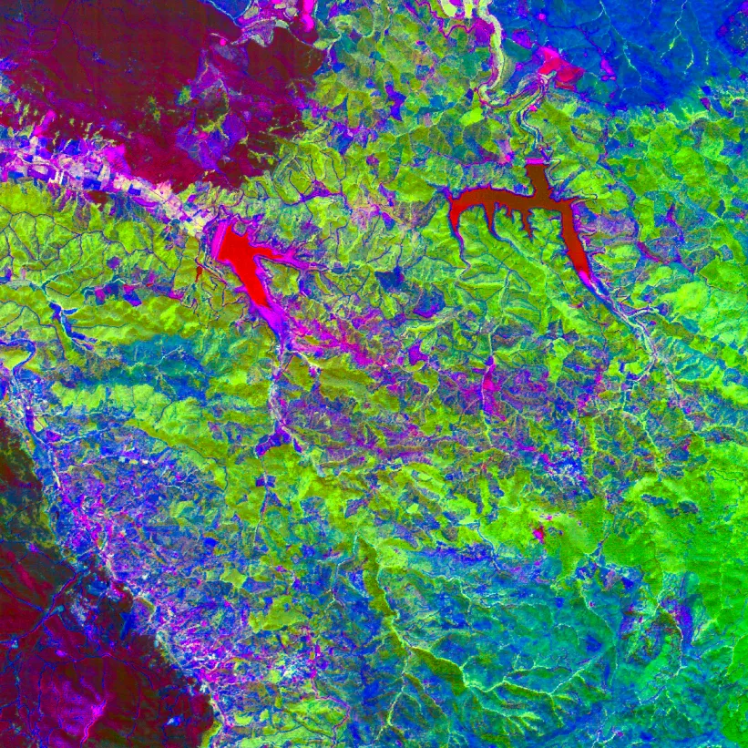
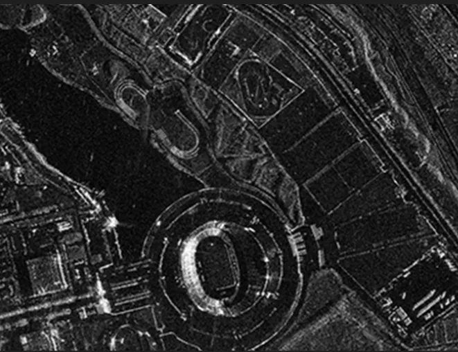
Types of Satellite Data & Their Applications
Different types of satellite imagery are designed for different jobs. Here’s a quick guide to the main categories and what they’re best for:
| Imagery Type | Key Features | Example Applications |
|---|---|---|
| Optical / Multispectral | Captures visible light plus extra bands; similar to photography | Crop health, urban planning, environmental monitoring |
| Hyperspectral | Dozens to hundreds of bands; detects subtle material differences | Mineral exploration, ecosystem mapping, precision agriculture |
| Thermal | Measures heat radiation; works day or night | Wildfire detection, infrastructure heat loss, volcano monitoring |
| Radar / SAR | Works through clouds, day or night; detects surface shape and texture | Flood mapping, infrastructure movement, disaster response |
Why Satellite Imagery Matters
Satellite imagery is used every day to make smarter, faster decisions across industries:
- Mining & Resources - support exploration by identifying geological features, monitor tailings dams and track environmental compliance in remote regions.
- Agriculture & Pastoral Land Management - monitor drought stress, pasture growth and crop yields over vast farms and rangelands.
- Environmental Monitoring & Conservation - track bushfire risk and recovery, detect illegal land clearing and monitor habitats.
- Urban Development & Infrastructure - plan new roads and suburbs, monitor construction progress and assess flood risk.
- Disaster Management - rapidly map floods, cyclone damage or bushfire‑affected areas to prioritise response.
- Government & Policy - support land‑use regulation, carbon accounting and climate change reporting.
Benefits of Satellite Imagery
- Wide‑Area Coverage - monitor entire countries or regions in a single dataset, including remote or inaccessible areas.
- Regular, Repeatable Monitoring - many satellites revisit the same location daily or even multiple times per day, enabling time‑series analysis.
- Rich, Multi‑Spectral Data - beyond just “pictures,” satellites provide insights into vegetation health, moisture, temperature and even ground movement.
- Historical Archives - decades of imagery allow you to track long‑term trends like urban expansion, coastal erosion and climate impacts.
The Future of Satellite Imagery
The satellite imagery industry is moving fast - and the possibilities keep expanding:
- More Frequent Revisit Times - new constellations of small satellites are providing multiple captures per day, enabling near real‑time monitoring.
- Higher Resolution & More Spectral Bands - each new generation of satellites delivers sharper images and richer data for more detailed analysis.
- AI & Machine Learning Integration - automated change detection, predictive modelling and instant alerts are transforming raw data into actionable intelligence.
- Easier Access & Integration - cloud platforms and APIs are making imagery more accessible to businesses, researchers and governments of all sizes.
- Global Collaboration - open data programs like Copernicus and Landsat are enabling climate science, disaster response and policy planning worldwide.
Satellite imagery is no longer just a tool for scientists or governments - it’s becoming a core part of decision‑making across industries.
Conclusion
Satellite imagery transforms how we see and understand the world. From tracking environmental changes to supporting agriculture, urban planning, mining and disaster response, it provides insights that were once impossible to access at scale.
Whether you’re a business, government agency or researcher, using satellite imagery can help you make smarter, faster and more informed decisions.