Loading...
Vendor Directory · Wyvern
Calibrated, analysis-ready reflectance cubes from the Dragonette constellation (23–31 spectral bands across the visible and near-infrared at 5.3 m GSD) for mineral mapping, vegetation health and environmental analysis.
Vendor Profile
Wyvern delivers cutting-edge hyperspectral satellite imagery for precision insight and data-driven decision-making. The Dragonette constellation captures 23-31 spectral bands across the visible and near-infrared (VNIR) at 5.3 m ground sampling distance - purpose-built for material discrimination that traditional optical and multispectral sensors can't resolve.
Through Terrabit you can request quotes, confirm tasking opportunities and receive imagery products with orthorectification, Top-of-Atmosphere correction, Principal Component Analysis (PCA) and decorrelation stretches applied. Submit your AOI and use case and we will provide recommendations, manage feasibility checks, coordinate collection planning and ensure secure delivery to your preferred file formats.
What you can order
For more information, please contact our team.

In-house Pipeline
Every collection from this vendor flows through Terrabit's in-house processing before it lands in your environment. Your team gets imagery in analysis-ready formats.
[01]
We coordinate the order with the vendor, schedule the collection and confirm feasibility, cadence and licensing on your behalf.
[02]
Calibration, atmospheric correction, orthorectification, pansharpening, colour balancing and mosaicking are all handled in-house, so the imagery arrives analysis-ready.
[03]
Every product passes automated and manual QA, including orthorectification to control, alignment checks, radiometry and metadata, before delivery.
[04]
Analysis-ready GeoTIFF, COG, STAC or custom delivery format to meet your specific needs and ingestible in the environments you use.
Focus on the question your imagery has to answer. We handle the data so your team does not have to.
Live Tracker
View real-time orbital positions, coverage windows and sensor specifications for the Wyvern constellation on our interactive satellite tracker.
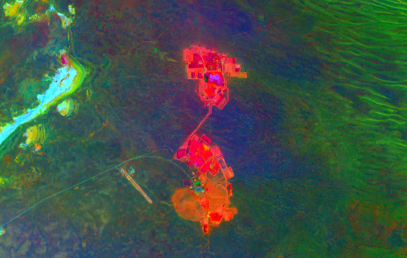
Sample Imagery
Representative Dragonette captures - RGB, PCA, decorrelation stretches and CIR false-colour - showing what hyperspectral reveals across mining, vegetation and environmental scenes.
Attach your AOI, desired dates, spectral range/band needs, resolution and delivery preference. We’ll respond with feasibility and a quote, usually within 1 business day.