QGIS is one of the most widely used GIS platforms for viewing, analysing and managing spatial data, and adding satellite imagery to a QGIS project is relatively straightforward.
The harder question is usually which satellite imagery you should be using.
There are many options available, from free 10m imagery through to commercial 30cm products. The right choice depends on what you need to see, how frequently you need imagery, and whether you are using it for visual reference, analysis or detailed mapping.
This guide explains how to add satellite imagery to QGIS, where to find imagery, and how the different imagery options compare.
Don't have QGIS yet? Download QGIS
What types of satellite imagery can you use in QGIS?
There are three common ways to bring satellite imagery into QGIS:
- Online basemaps for quick visual reference
- Free satellite imagery such as Sentinel-2 and Landsat
- Commercial high-resolution satellite imagery for detailed mapping and monitoring
All three have a place in a GIS workflow. The important part is understanding what each dataset can actually tell you.
1. How to add online satellite basemaps to QGIS
The quickest way to get satellite imagery into QGIS is often through an online basemap.
These services provide imagery as map tiles that can be displayed directly in QGIS, and they are useful when you need a visual reference while working with other spatial data.
For example, you might use a satellite basemap in QGIS to:
- Locate infrastructure
- Check access roads
- Understand surrounding land use
- Digitise features
- Provide context for survey or engineering data
- Quickly review an area before obtaining more detailed imagery
There is an important distinction, however, between viewing satellite imagery online and obtaining satellite imagery as a dataset.
Online basemaps are designed primarily for visualisation. You typically have limited control over the capture date, resolution, processing or underlying data.
If you need a specific acquisition date, a defined area of interest, or imagery suitable for analysis, you will generally need the underlying imagery rather than a basemap. Basemaps for satellite imagery are typically a paid service and are added as an XYZ stream, as shown below, so this guide focuses more on downloading datasets and adding them to QGIS.
You can add an XYZ layer in QGIS by:
- Open QGIS.
- Select Layer → Add Layer → Add XYZ Layer.
- Copy the link to your XYZ tiling service (e.g.
https://example.com/{z}/{x}/{y}.png). - Configure any authentication, usually in the form of a login or API key which may have to be appended to the URL.
- Click Add.
2. How to use free satellite imagery in QGIS
For many GIS applications, free satellite imagery is an excellent starting point. Two of the most commonly used sources are Sentinel-2 and Landsat.
Sentinel-2
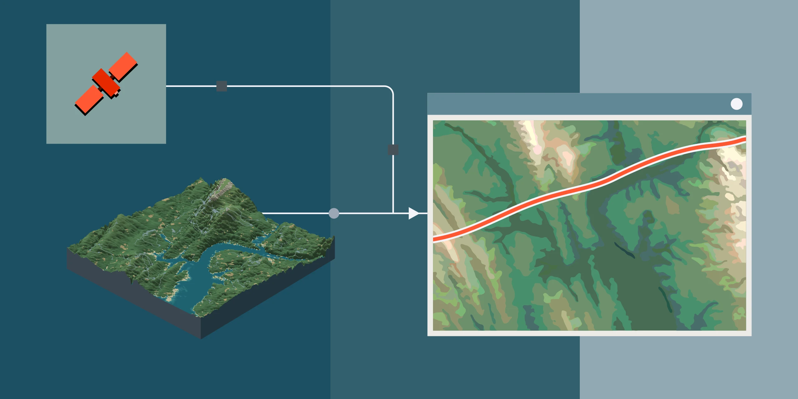
Sentinel-2 provides multispectral imagery at resolutions down to 10m, which makes it particularly useful for regional environmental and land-cover applications.
You can explore Sentinel-2 imagery through the Copernicus Data Space Ecosystem, where you can search by location and date, view what is available and access the underlying data.
Free imagery is well suited to:
- Vegetation monitoring
- Land-cover mapping
- Agricultural analysis
- Water monitoring
- Bushfire and environmental assessment
- Regional change detection
- Broad-scale disturbance monitoring
Landsat
Landsat provides a long historical archive, which is particularly valuable when you are looking at change over many years.
You can search Landsat and other Earth observation datasets through USGS EarthExplorer. Imagery can be downloaded and brought directly into QGIS for analysis.
What are the limitations of free satellite imagery?
The main limitation is spatial resolution.
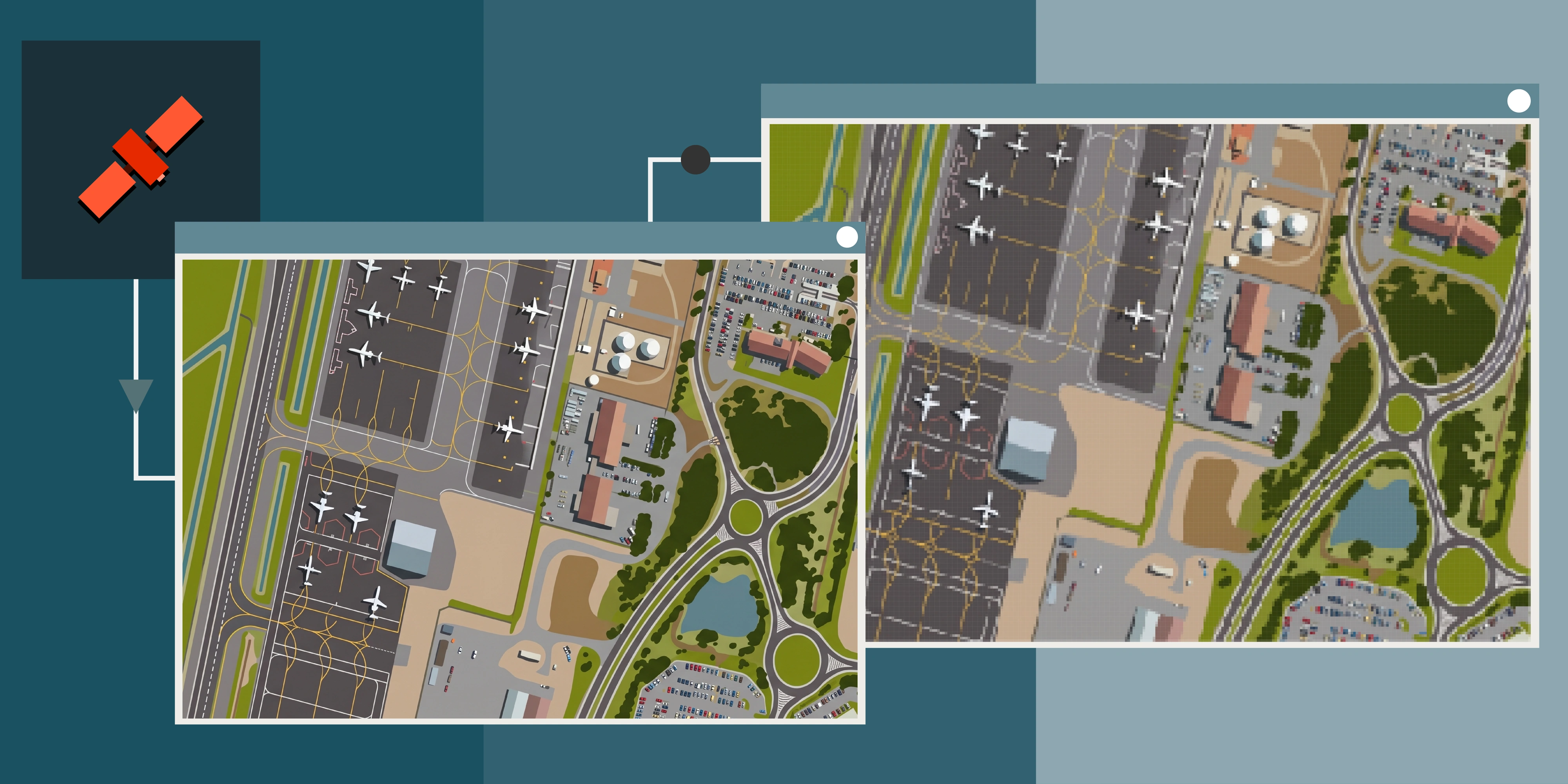
At 10m resolution, each pixel represents an area of roughly 10m by 10m on the ground. That is suitable for identifying broad patterns, but smaller features can be difficult or impossible to distinguish.
Sentinel-2 may clearly show a large area of vegetation clearing, for example, but it will not give you the same level of detail when mapping individual buildings, haul roads or small earthworks. Our comparison of commercial and free satellite data works through where that line usually falls.
How to load a downloaded satellite image into QGIS
If you have downloaded satellite imagery as a GeoTIFF, adding it to QGIS takes a few seconds:
- Open QGIS.
- Select Layer → Add Layer → Add Raster Layer.
- Browse to the satellite imagery file.
- Select the file and click Add.
The imagery will appear as a raster layer in your project, and in most cases you can simply drag and drop the file into the application.
You can then combine the imagery with the other GIS layers you already work with, including:
- Shapefiles
- GeoPackages
- CAD data
- Survey data
- Digital elevation models
- Tenement boundaries
- Infrastructure layers
This is where satellite imagery becomes genuinely useful. Rather than looking at imagery in isolation, you can combine it with your existing spatial data.
3. How to use high-resolution commercial satellite imagery in QGIS
When you need to see more detail, commercial satellite imagery is a significant step up in resolution.
High-resolution commercial imagery is available at resolutions of 30cm to 50cm, depending on the sensor and product. At 30cm resolution, the amount of detail visible within an image is substantially greater than a 10m dataset.
Residential and infrastructure detail
Individual asset detail
That makes commercial imagery useful for:
- Mining operations
- Infrastructure
- Construction monitoring
- Earthworks
- Roads and haul roads
- Stockpiles
- Buildings and facilities
- Land disturbance
- Rehabilitation
- Detailed environmental monitoring
The benefit is not simply that the image looks better. Higher resolution allows you to identify and map features that would be represented by only a few pixels, or would not be visible at all, in lower-resolution imagery.
Looking for commercial satellite imagery for your QGIS project?
Terrabit supplies high-resolution commercial satellite imagery as analysis ready data, which means the imagery arrives in a state you can work with immediately.
Every dataset is delivered fully processed and correctly georeferenced in standard GIS formats, so there is no reprojecting, converting, mosaicking or tidying up before you can use it. You drag the file into QGIS, it lands in the right place, and you can start mapping or measuring straight away.
For most teams that is the difference between spending a morning preparing imagery and spending that morning actually using it.
Terrabit can provide archive imagery for areas that have already been captured, as well as newly tasked imagery where your project requires a specific date or area of interest.
Contact Terrabit to discuss what imagery is suitable for your project.
Free vs commercial satellite imagery: which should you use?
It depends on what you are trying to achieve.
This does not mean commercial imagery is always the better option.
If you are monitoring vegetation across thousands of square kilometres, 10m imagery may give you everything you need. If you are trying to identify a newly constructed access road across a mine site, 30cm imagery will tell you a very different story.
The best imagery is the imagery that suits the question you are trying to answer. Our guide to satellite resolution and accuracy explains what each pixel size can show.
Can you use satellite imagery from Terrabit in QGIS?
Yes.
Satellite imagery supplied by Terrabit is delivered in standard geospatial formats that drop straight into existing GIS workflows, including QGIS. Imagery can be supplied as ECW, GeoTIFF or Cloud Optimised GeoTIFF (COG), and our format comparison explains which one suits which workflow.
That means your team can keep using the GIS tools and workflows it already has, rather than being locked into a separate desktop environment.
Imagery can also be combined with other spatial products, including digital elevation models and your existing project data.
For organisations managing imagery across multiple projects, platforms such as Albatross simplify the process of searching for imagery, managing orders and accessing datasets.
Useful satellite imagery resources
If you are getting started, these are some of the most useful places to find and work with satellite imagery:
- QGIS for downloading QGIS and accessing documentation
- Copernicus Data Space Ecosystem for Sentinel-2 and other Copernicus Earth observation data
- USGS EarthExplorer for searching and downloading Landsat and other Earth observation datasets
- Terrabit Albatross for searching, managing and accessing commercial satellite imagery
What satellite imagery should you use for your project?
There is no single satellite dataset that is right for every project. A useful starting point is to work backwards from the question you need to answer.
Do you need broad regional information? Start with free, lower-resolution imagery such as Sentinel-2 or Landsat.
Do you need detailed site-level information? Consider commercial high-resolution imagery.
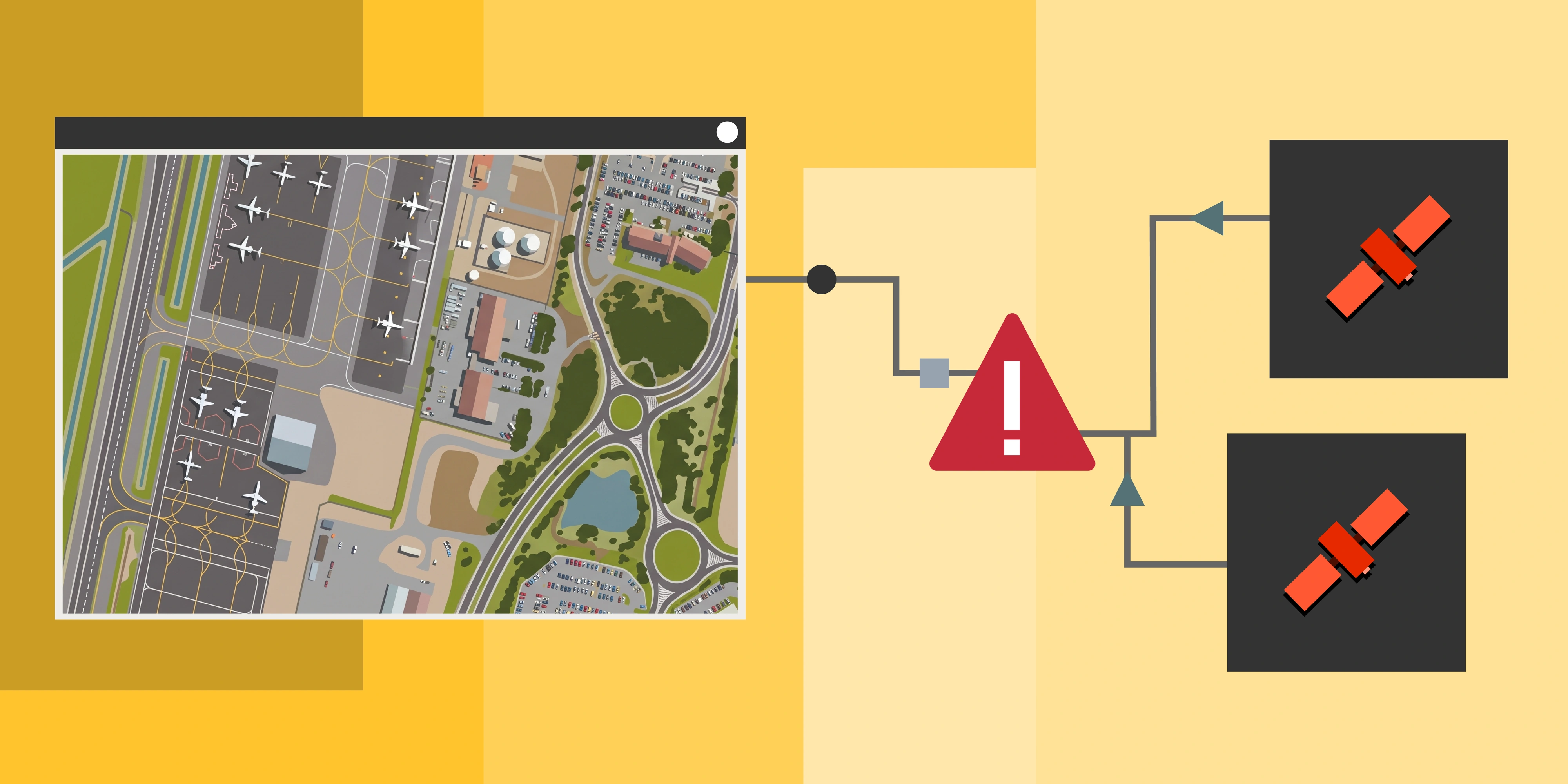
Do you need to understand change over time? Look at archive imagery across multiple dates, and compare archive vs tasking.
Do you need elevation information as well as imagery? Consider stereo satellite imagery and a suitable DEM.
Do you need frequent monitoring? Look at the monitoring interval you need, then see how often satellite imagery is updated.
The objective is always to select the dataset that gives you the information you need at the appropriate resolution, frequency and cost.
Final thoughts
Adding satellite imagery to QGIS is easy. Choosing the right satellite imagery is the more important decision.
Free imagery provides excellent regional coverage and suits many environmental and land-cover applications. Commercial imagery provides the detail you need to identify smaller features or monitor specific sites.
Historical imagery adds another dimension altogether. A snapshot tells you what is there. A timeline tells you what changed.
By combining the right imagery with QGIS and your existing spatial data, satellite imagery becomes much more than a basemap. It becomes a practical source of information for monitoring, analysis and decision-making.
If you are unsure what resolution, imagery source or acquisition approach is right for your project, get in touch with Terrabit.
Frequently asked questions
Can I use satellite imagery in QGIS? Yes. QGIS supports common raster formats such as GeoTIFF and can also connect to online imagery services. Satellite imagery can be displayed alongside vector, survey, CAD, elevation and other GIS datasets.
What is the best satellite imagery for QGIS? There is no single best dataset. Sentinel-2 and Landsat are excellent free options for broad-scale monitoring, while commercial 30cm or 50cm imagery is better suited to detailed site-level applications.
How do I add satellite imagery to QGIS? To add a downloaded image, go to Layer → Add Layer → Add Raster Layer, browse to your GeoTIFF or ECW file, then click Add. The imagery loads as a raster layer and aligns with your other project data. Online basemaps can be added as tile services instead.
Can I use Google satellite imagery in QGIS? Online satellite basemaps can be displayed in QGIS through appropriate mapping services, subject to their terms and licensing conditions. If you need imagery as a dataset for analysis, it is better to obtain properly licensed imagery in a suitable GIS format.
Is Sentinel-2 free? Yes. Sentinel-2 imagery is available as open data and is widely used for environmental monitoring, land-cover analysis, agriculture and change detection.
What is the difference between Sentinel-2 and commercial satellite imagery? The biggest difference is spatial resolution and the resulting level of detail. Sentinel-2 provides imagery at resolutions down to 10m, while commercial satellites can provide imagery at 30cm or better. The right option depends on the features and scale of your analysis.
What is analysis ready satellite imagery? Analysis ready imagery has already been processed and georeferenced so it can be used as soon as it is delivered. It loads into QGIS in the correct position without reprojection, format conversion or other preparation work.
Can satellite imagery be used for change detection? Yes. Comparing imagery from different acquisition dates is a common approach to change detection. It can be used to monitor clearing, construction, infrastructure development, rehabilitation, flooding and other changes over time.
Can satellite imagery provide elevation data? Yes. Stereo satellite imagery can be used to generate elevation products such as digital surface models (DSMs) and digital terrain models (DTMs), depending on the imagery and processing approach.
Can Terrabit provide satellite imagery for QGIS? Yes. Terrabit supplies analysis ready satellite imagery suitable for integration into GIS workflows, including high-resolution commercial imagery and archive imagery. Products can be delivered in standard formats such as ECW, GeoTIFF and Cloud Optimised GeoTIFF.