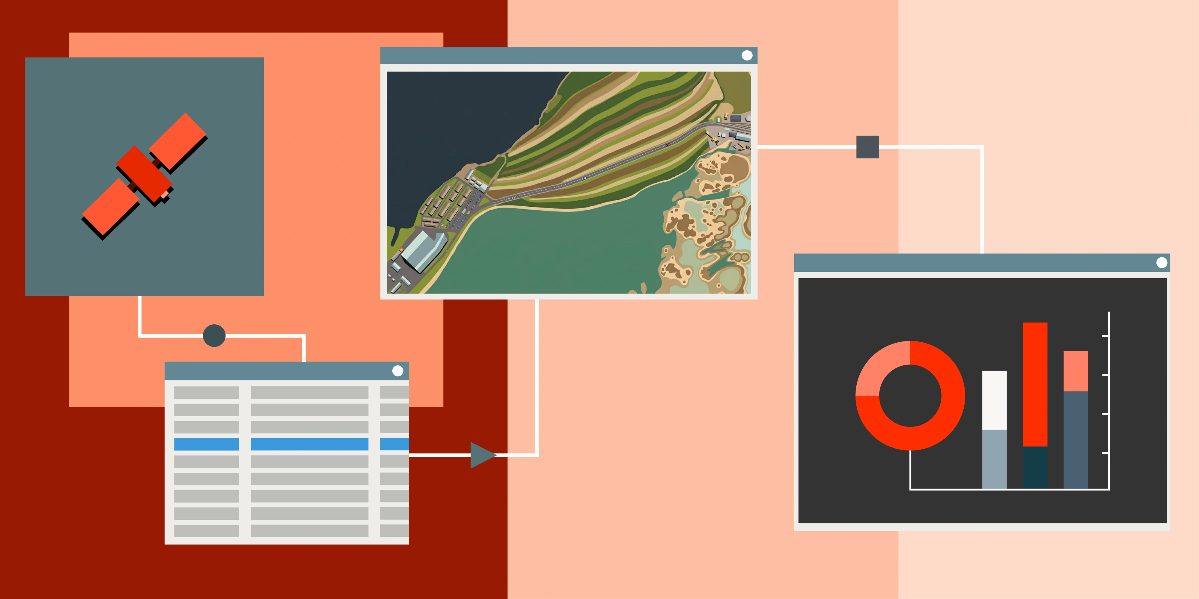
Introduction: Satellite Data – Your Eyes in the Sky
Satellite imagery has changed how businesses and communities monitor assets, track change and make informed decisions remotely from hundreds of kilometres in the sky. From assessing infrastructure corridors to planning a new mine, the insights from above are now fundamental to many workflows. With so many sensors and price points available, the question becomes: when is free, open-source satellite data enough and when should you invest in commercial imagery? This guide clarifies the strengths of both so you can choose the best-fit solution for your operations.
Free Satellite Data: Empowering Earth Observation
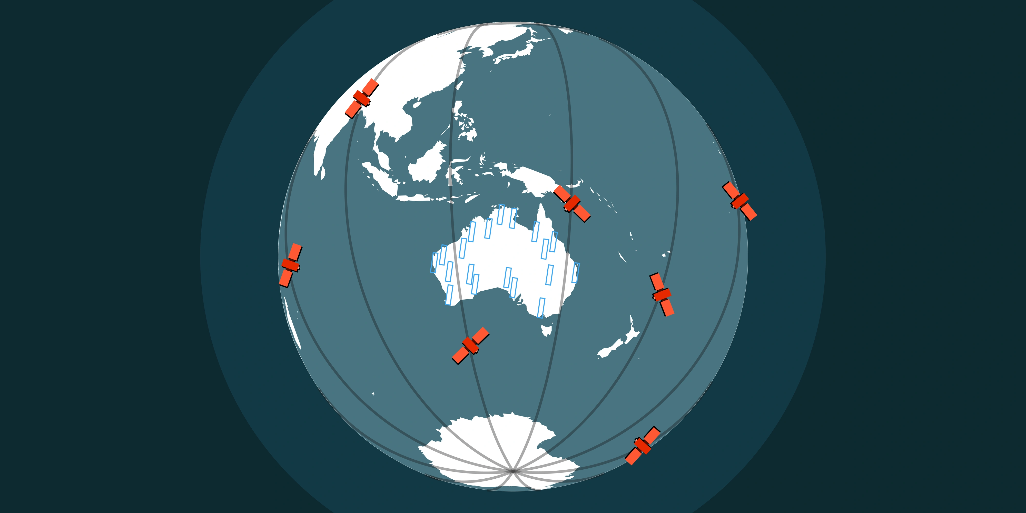
Free and open-source satellite programmes-such as ESA's Copernicus Sentinel constellation, NASA/USGS Landsat missions, or data from Google Earth-have made Earth observation imagery accessible to anyone with an internet connection. These resources underpin academic research, startup innovation and public policy initiatives alike.
Key contributions & ideal applications
- Accessibility & cost-effectiveness: Completely free to access and use, removing financial barriers for startups, researchers and teams with constrained budgets. That means more resources can be directed to analysis and product development instead of data acquisition.
- Broad area monitoring: Medium-resolution imagery-10 m for Sentinel, 30 m for Landsat-is ideal for large-area assessments. Think broadscale deforestation studies, urban growth mapping or regional climate impact analysis.
- Extensive historical archives: Continuous datasets spanning decades enable long-term trend analysis and retrospective investigations. Landsat 7, launched in 1999, still contributes to a decades-deep archive, while Sentinel-1A (2014) and Sentinel-2A (2015) add modern, high-frequency coverage.
- Diverse spectral information: Multiple spectral bands beyond visible light support foundational analytics such as vegetation health indices (NDVI), land-cover classification and water quality assessments without additional licensing.
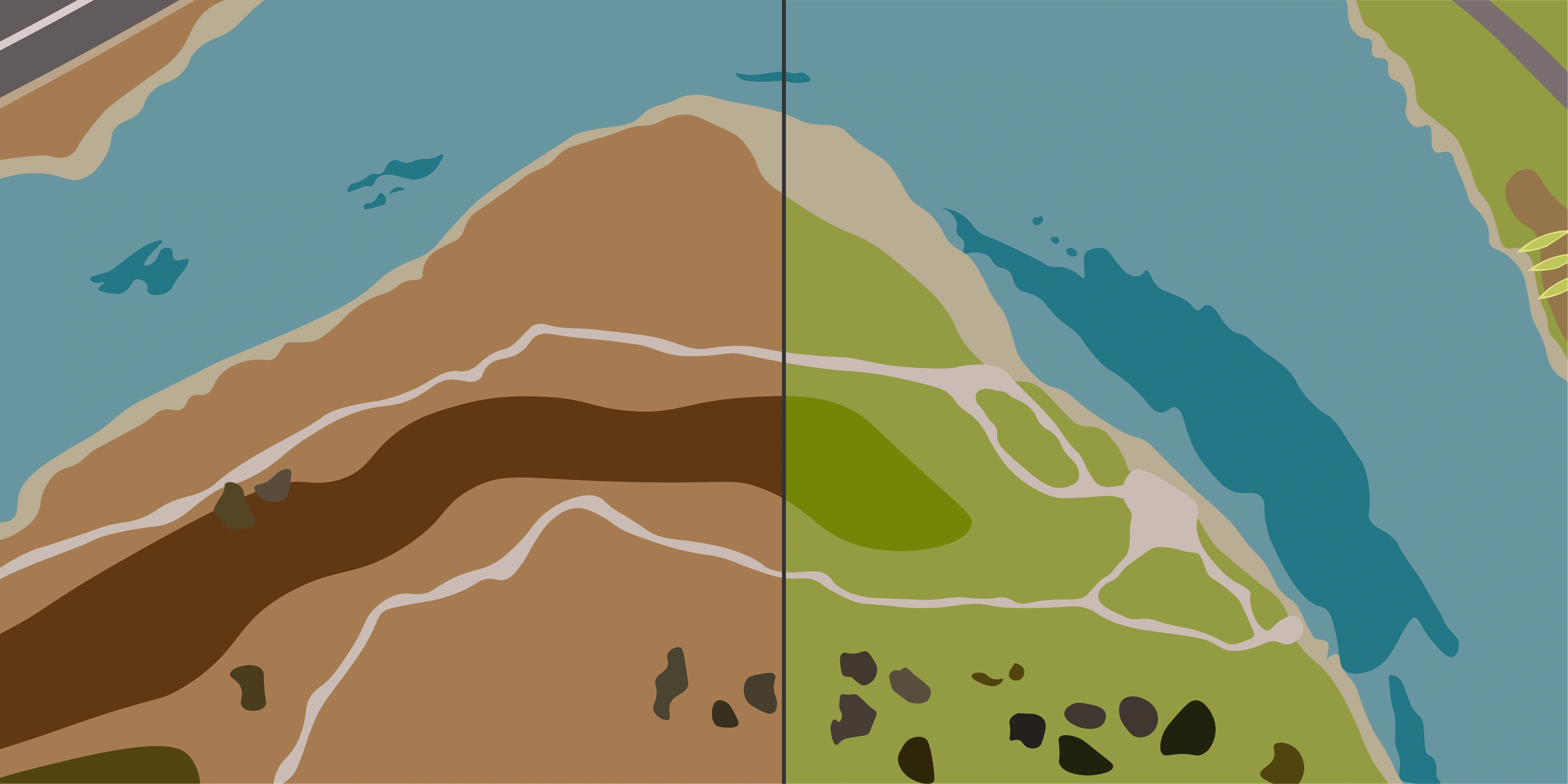
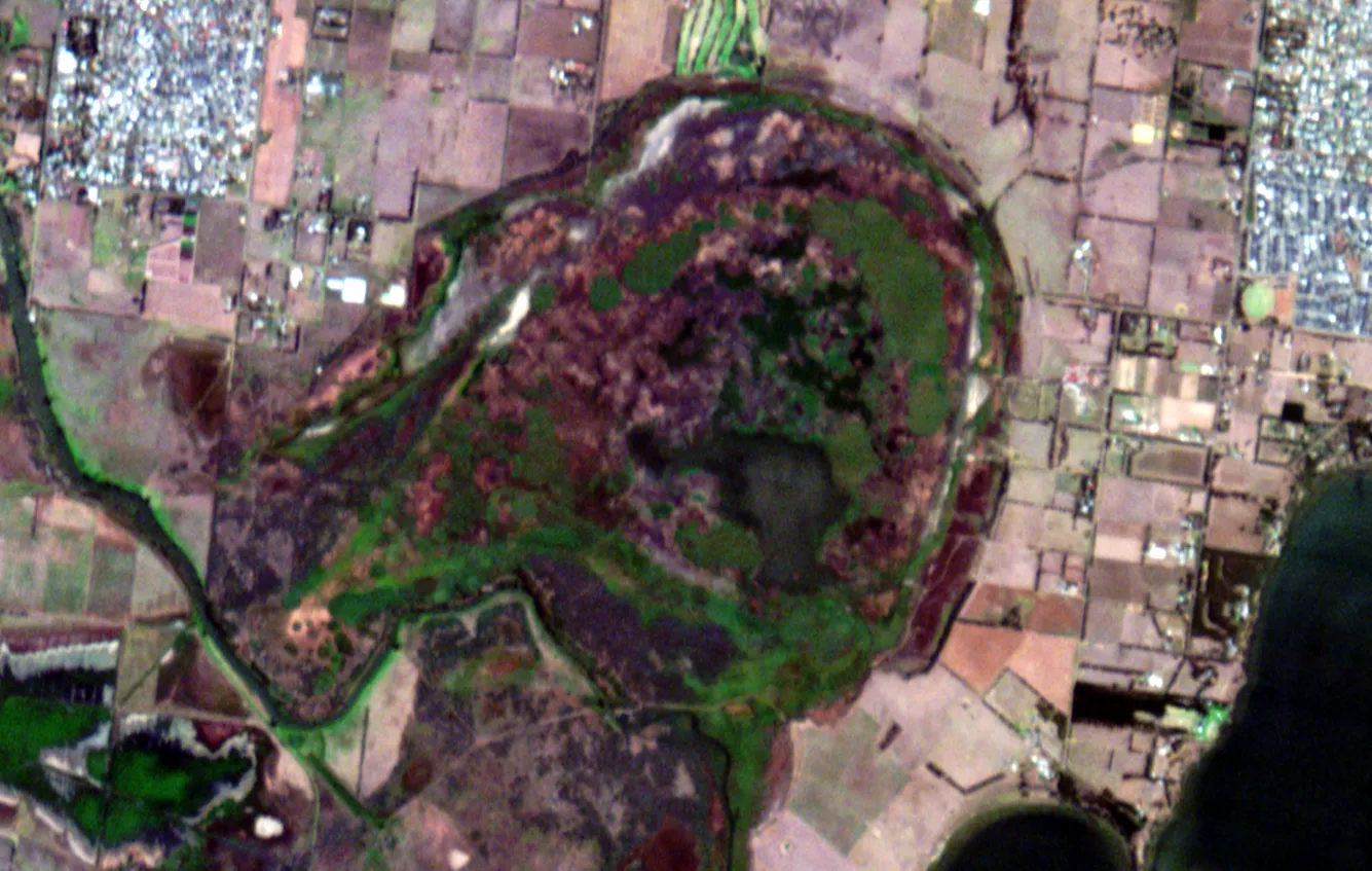
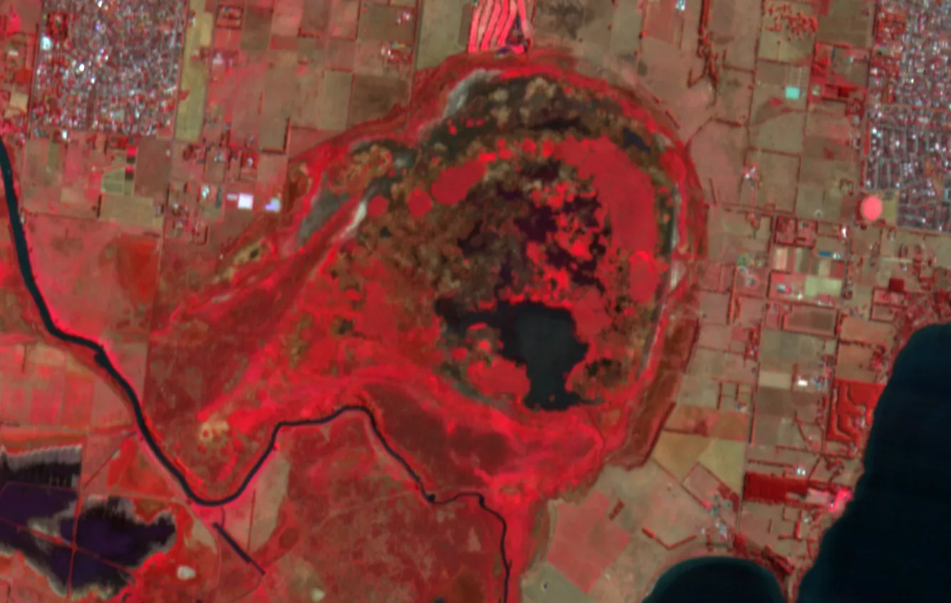
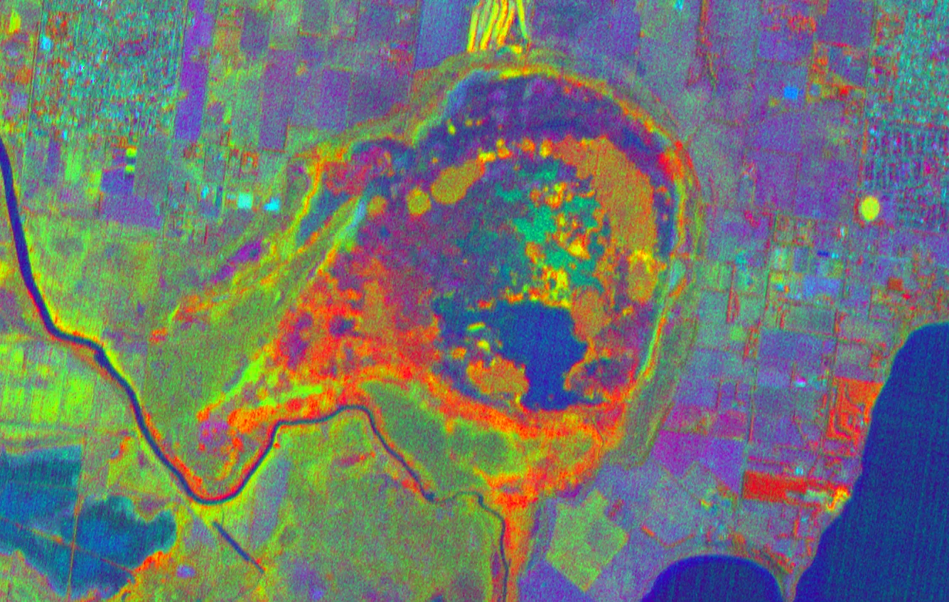
Wyvern’s multispectral demos below show how different band combinations surface vegetation vigour-insights providing enhanced resolution compared to free alternatives.
Considerations before relying on free data for commercial decisions
- Resolution limitations: Coarser pixels aren’t suited to identifying small objects or precise rehabilitation areas, limiting asset-by-asset analysis.
- Fixed acquisition schedules: Predetermined overpasses-5–6 days for Sentinel, ~8 days for the combined Landsat mission-mean you can’t capture unexpected events on demand.
- Cloud interference: Optical imagery can’t penetrate cloud cover, so in humid or tropical climates it may take weeks (or longer) for a cloud-free acquisition.
- No on-demand tasking: Only commercial providers let you direct a satellite to image a specific AOI at a chosen time, so urgent compliance checks or incident response may require paid options.
Many teams also turn to Google Earth for quick context. It’s a great viewer-but it differs in important ways from licensed, taskable satellite imagery.
Google Earth vs. Commercial Satellite Imagery
Google Earth is a powerful, free visualisation platform-but it isn’t a source of taskable, analysis-ready satellite data. It aggregates imagery from many providers (including satellite and aerial photography) into mosaics optimised for viewing. That makes it great for familiarisation and storytelling, but there are important differences compared to licensed commercial imagery:
What Google Earth is and isn’t
- Aggregated, view-optimised mosaics: Imagery is blended to look seamless; capture dates and sensors vary tile-to-tile. It’s not a single, consistent dataset suitable for precise measurement.
- Mixed sources: High-resolution areas often rely on aerial photography rather than satellites, while remote regions may use medium-resolution satellite coverage. Quality and recency vary.
- Highly compressed imagery and outdated coverage: Imagery in Google Earth is typically highly compressed to optimise streaming and viewing, which reduces image quality and detail. It also does not typically provide up-to-date imagery, making it unsuitable for precision monitoring of assets or time-sensitive analysis.
- Usage rights: Google’s Terms of Service limit downloading, redistribution and many commercial uses of the imagery. It’s generally not licensed for audit, compliance evidence or derivative geospatial products without additional permissions.
- No tasking or SLAs: You can’t request new captures, set cloud thresholds, or guarantee revisit times. Updates are periodic and opaque.
Practical implications for projects
- Precision and measurements: Mosaicking and varying georeferencing can introduce positional differences. For asset monitoring, volumetrics or change detection that require consistent orthorectification, commercial imagery is the safer choice.
- Timeliness and provenance: Google Earth doesn’t provide acquisition SLAs or formal provenance trails suitable for regulatory submissions. Commercial providers deliver dated imagery with certificates and consistent processing.
- Licensing and deliverables: If you need analysis-ready files (orthos, pansharpened products, stereo pairs) that you can store, process and share internally, commercial licenses explicitly permit this and define usage.
When to use each
- Use Google Earth for quick context, site familiarisation, stakeholder presentations and early scoping-especially when you don’t need precise measurements or guaranteed update cadence.
- Choose commercial imagery for decision-critical tasks: asset-by-asset monitoring, compliance reporting, construction progress, emergency response or analytics that demand high resolution, documented provenance and custom acquisition.
Commercial Satellite Data: Precision, Timeliness and High Quality
When projects require detailed, accurate and timely insight, commercial satellite imagery delivers clarity that free datasets can’t match. Terrabit works with leading operators to tailor acquisitions, process deliveries and embed analytics directly into your decision cycles.
The distinct advantages of commercial data
- Unmatched detail (spatial resolution): High and very high-resolution sensors (down to 30 cm and even 15 cm HD) enable precise asset monitoring-tracking haul roads, spotting equipment, validating construction progress and running reliable volumetrics.
- Extensive high-resolution historical archives: Sub-metre catalogues-often dating back to around 2005-help establish baselines, prove compliance and understand past site conditions with dated evidence.
- Timeliness & on-demand acquisition (temporal resolution): Task satellites for new captures within defined time windows, specify cloud thresholds and request priority. Rapid revisit rates mean updates often arrive within days for disturbance tracking, disaster response or milestone documentation.
- Advanced spectral insights & analytics: Beyond common bands, many commercial constellations offer unique spectral capabilities and analysis-ready products, supporting vegetation species differentiation, material identification and complex change analysis.
- Guaranteed quality & expert processing: Large AOIs, multi-strip mosaics and custom coordinate control benefit from Terrabit’s specialist processing-orthorectification, atmospheric correction and delivery in the formats your team needs.
- Reduced in-house expertise needed: User-friendly platforms, like that from Terrabit, APIs and Terrabit’s support reduce the requirement for deep GIS or remote sensing skills inside your organisation.
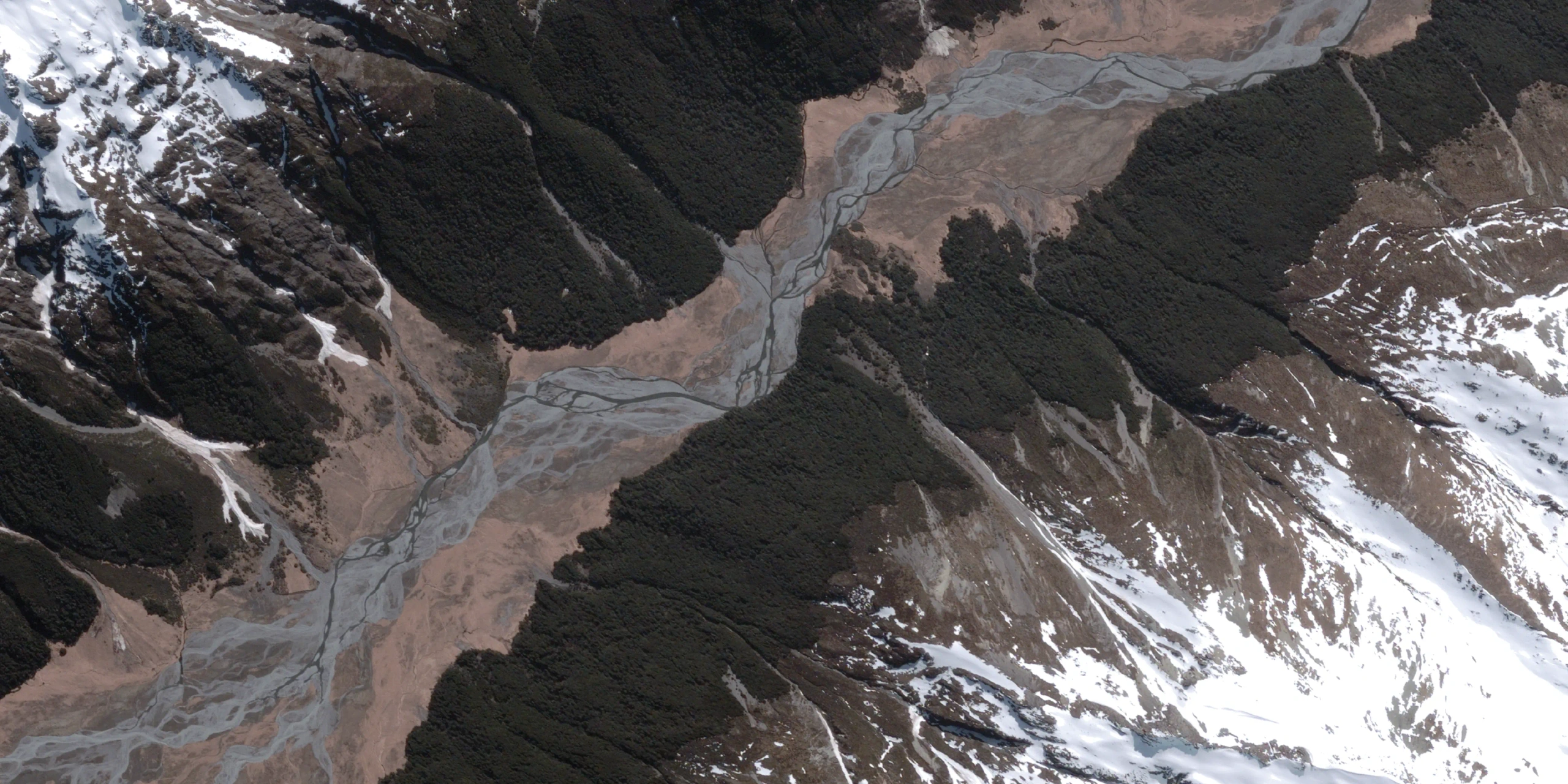
Visualising the difference

Tailoring acquisitions to your timeline
Commercial tasking lets you define revisit cadence, acceptable cloud thresholds, off-nadir limits and acquisition priority. Combining clear briefs with multi-satellite constellations ensures you capture the right resolution precisely when you need it-whether for dynamic disturbance monitoring, emergency response or large-scale project tracking.
Making the Right Choice for Your Project
Both free and commercial satellite data deliver value-each excels in different situations:
- Use free data for broad overviews, initial research, academic studies or general environmental monitoring where medium resolution and historical depth answer the question.
- Choose commercial imagery for detailed asset management, time-sensitive milestones, compliance reporting or bespoke analytics that demand higher resolution, reliable cadence and customised delivery.
Terrabit specialises in navigating these complexities. Whether you need guidance on the ideal sensor and resolution, assistance sourcing historical archives or support applying advanced processing, we’ll help you build the right imagery mix. With expert advice and the optimal data in hand, you can make better-informed decisions and deliver stronger outcomes.
Ready to explore how high-quality satellite imagery can transform your operations? Visit the Satellite Imagery page, browse active constellations on the Satellites hub or request a tailored quote today.