Landscapes are never static. They respond constantly to rainfall, drought, vegetation cycles, water movement and human activity. From the ground, these changes can be slow and difficult to interpret. From space, they tell a far clearer story.
High-resolution satellite imagery, captured repeatedly across seasons, gives mining, infrastructure and environmental teams a way to observe how a site behaves over time, without mobilising crews, increasing safety risk or relying on a single point-in-time inspection.
This article, part of our guide to environmental monitoring using satellite imagery, looks at what seasonal satellite imagery reveals, how digital elevation models (DEMs) deepen that understanding, and why repeat satellite capture has become one of the most valuable monitoring tools for organisations operating across large or remote Australian landscapes.
How Seasonal Change Reshapes a Landscape
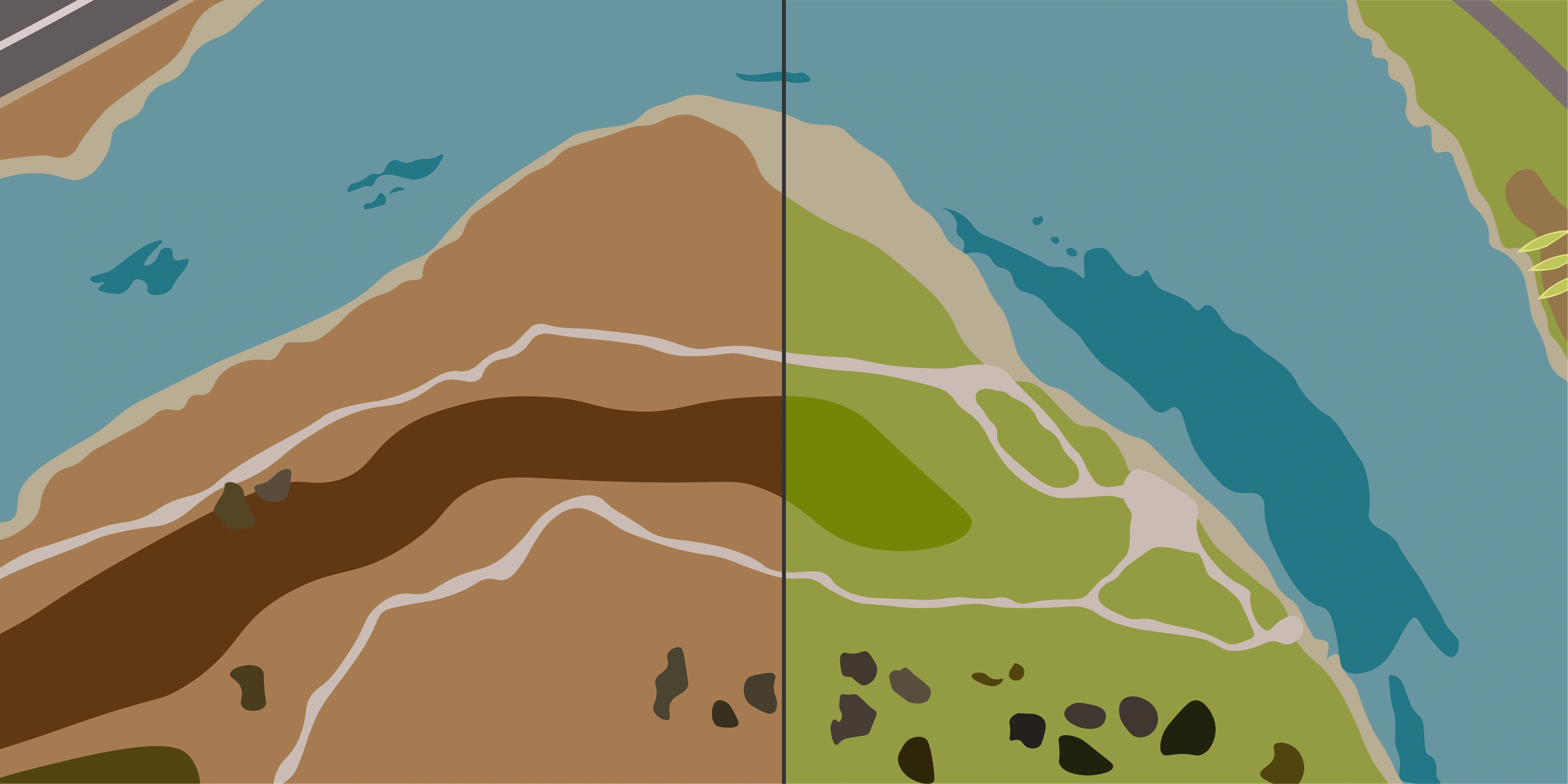
Two satellite images of the same location captured in different seasons can look like completely different environments.
Vegetation density shifts dramatically after rainfall. Water bodies expand and contract. Drainage lines emerge. Surface moisture changes. Previously hidden terrain features become visible during dry periods.
Across Australia, from the tropical wet season in the north to the dry inland conditions of the Pilbara, Goldfields and central regions, these patterns drive how landscapes behave, how water moves, and where operational risk concentrates.
Common seasonal patterns visible from satellite imagery include:
- Vegetation response after rainfall
- Surface water expansion and recession
- Sediment and runoff pathways
- Changes in soil moisture
- Rehabilitation recovery trends
- Erosion and drainage development
- Seasonal access constraints
- Surface disturbance visibility during dry periods
Rather than viewing imagery as a one-off snapshot, seasonal comparison creates a timeline of how an area responds to environmental conditions throughout the year.
The Value of Satellite Monitoring
The real value of satellite imagery isn't a single picture. It's the ability to observe consistent, comparable, large-area conditions over time, from anywhere. For organisations responsible for remote sites or long linear assets, that translates into several practical advantages.
Cost-Effective Monitoring at Scale
A single satellite capture can cover thousands of square kilometres in one acquisition. Compared with aerial surveys, drone flights or ground-based inspections, satellite imagery delivers wide-area visibility at a fraction of the operational cost.
Reduced HSE Risk
Many seasonal observations, such as drainage behaviour after heavy rainfall, post-cyclone surface change and rehabilitation recovery, historically required field mobilisation. Satellite imagery removes the need for personnel to enter remote, flooded or unstable terrain to gather that context.
Frequent Revisits and Change Detection
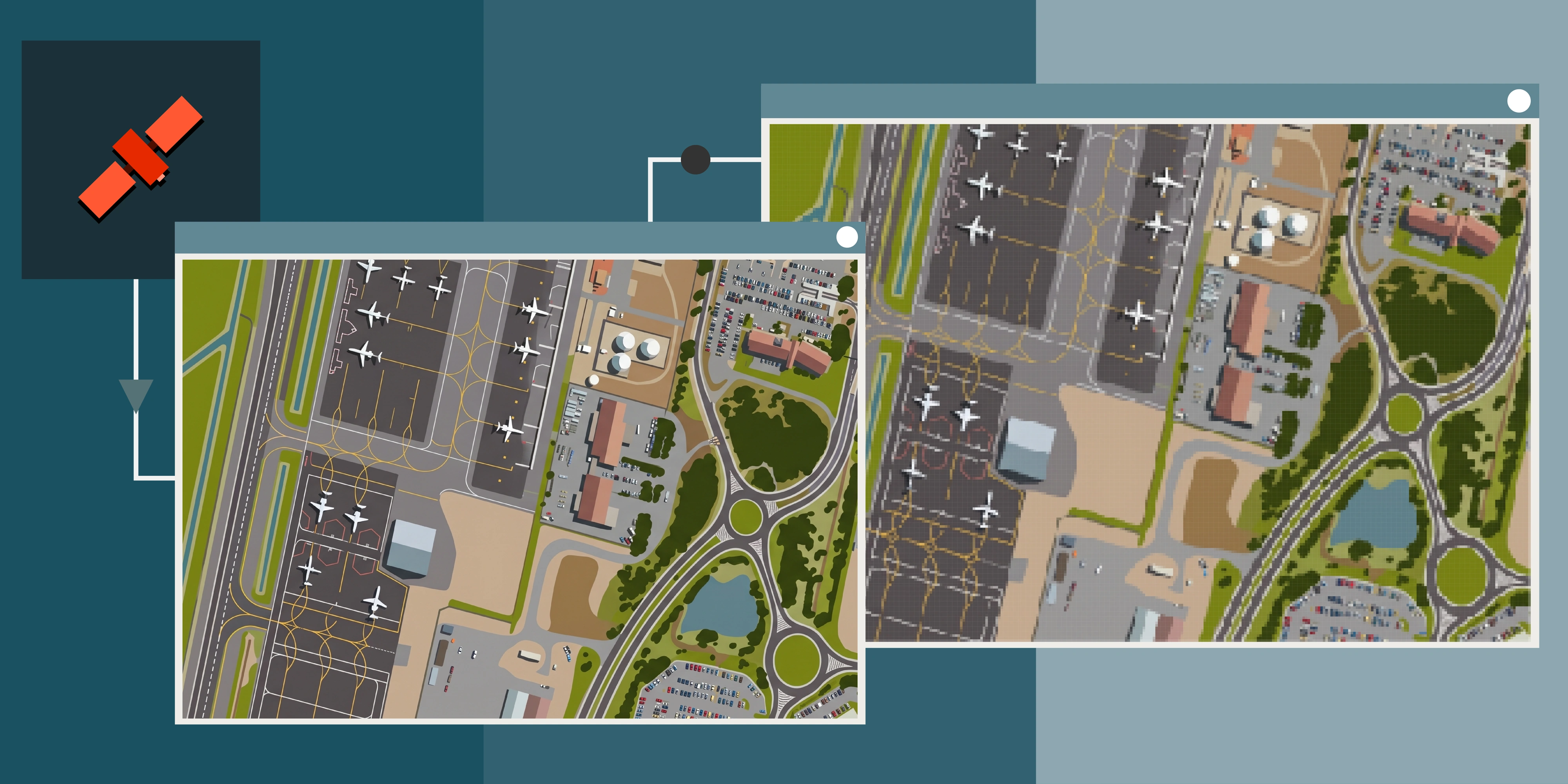
Modern commercial satellite constellations offer daily to weekly revisit options across Australia, with resolutions down to 30cm. This makes week-to-week satellite change detection possible across roads, drainage structures, rehabilitation zones, stockpiles and operational infrastructure.
A Historical Archive That Grows in Value
Every captured image becomes part of a long-term visual record. Seasonal satellite imagery supports environmental reporting, compliance documentation, incident investigation and historical land-use analysis, often years after the original capture.
Consistency Across Sites and Conditions
Satellite imagery delivers an objective, repeatable record that doesn't depend on who was on site or which season they visited. That consistency makes it easier to compare conditions, validate change and build trust in reporting.
Detecting Landslides and Ground Movement With Satellite Imagery
One of the clearest examples of satellite imagery's operational value is the detection of landslides, slope failures and post-event ground movement.
After heavy rainfall events, landslides can occur in steep terrain, particularly across tropical Queensland, the Great Dividing Range, and mountainous mining and infrastructure corridors. From the ground, the full extent of movement is often difficult and unsafe to assess.
High-resolution satellite imagery makes it possible to:
- Identify the location, extent and runout path of a landslide
- Compare pre-event and post-event imagery to quantify visible change
- Monitor whether movement is progressing or stabilising over time
- Assess access constraints and downstream impacts on roads, rail and surrounding infrastructure
When combined with a digital elevation model, this analysis goes further. The DEM helps explain the slope, aspect and drainage conditions that contributed to the failure, and helps identify other areas with similar terrain characteristics that may warrant closer attention.
How DEMs Deepen Understanding
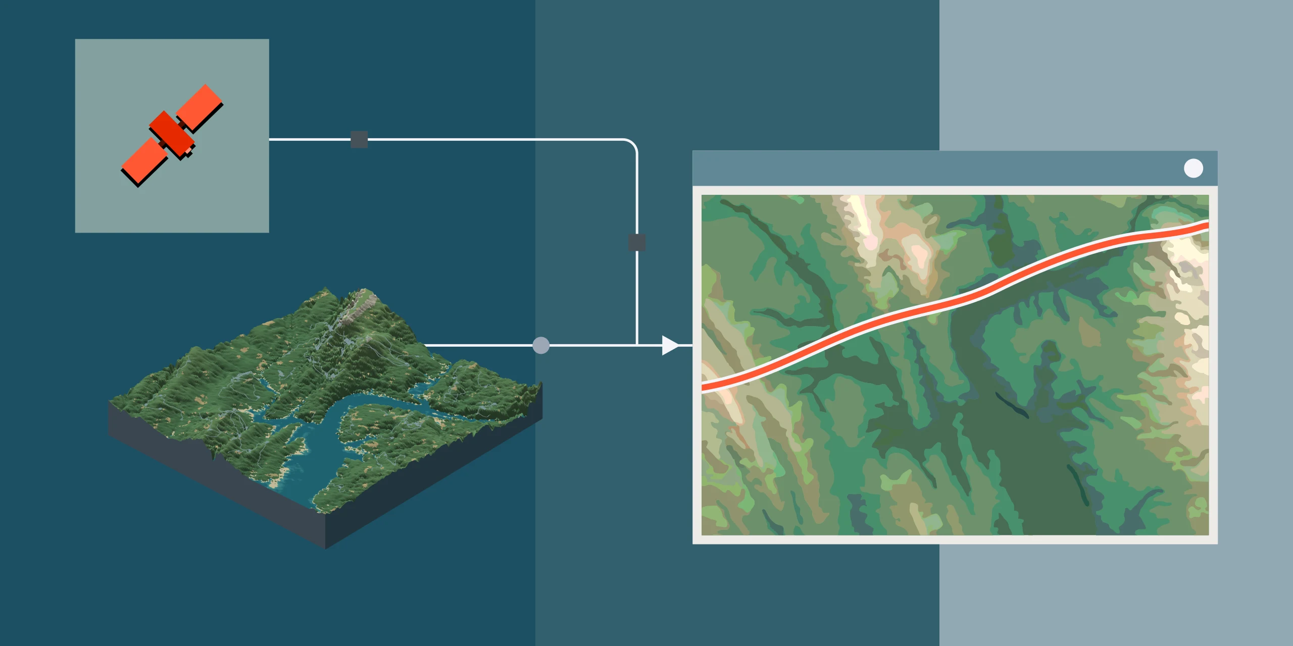
Optical satellite imagery shows what's visible on the surface. Digital elevation models explain why those patterns occur.
Elevation and terrain influence:
- Where water accumulates
- How runoff moves across a site
- Which areas remain saturated after rainfall
- Where erosion is most likely to develop
- How surface disturbance propagates over time
When combined with seasonal imagery, DEMs transform visual change into landscape understanding. A wet-season image may show expanded water pooling, while the DEM explains the drainage path and low points driving that accumulation. Vegetation variability often aligns closely with elevation, slope and moisture retention patterns visible through terrain analysis.
For remote sites where ground survey is expensive or logistically difficult, satellite-derived DEMs provide an accessible baseline of terrain. They also provide a foundation for drainage modelling, hazard mapping, volumetric analysis and rehabilitation planning.
Applications Across Industries
Understanding seasonal landscape behaviour improves planning and decision-making across every large land-based operation.
Mining operations can monitor water movement, rehabilitation response, tailings storage facility behaviour and progressive land disturbance against regulatory commitments such as Western Australia's Mining Rehabilitation Fund (MRF) and Queensland's Progressive Rehabilitation and Closure Plan (PRCP) requirements.
Infrastructure and energy projects can observe drainage impacts, vegetation clearing progression, erosion development and terrain behaviour across long corridors and remote assets.
Environmental teams can monitor vegetation recovery, wetland response, seasonal surface water variability and the long-term recovery of disturbed land.
Government and emergency teams can rapidly assess flood extent, landslide events and post-event conditions across areas that would otherwise be inaccessible. See our guide to satellite imagery for natural disasters for more detail.
Across all of these, the underlying value is the same: a consistent, repeatable, large-area record of how the landscape is changing.
Seeing Landscapes Differently
Seasonal change often happens gradually enough that it goes unnoticed day to day. But viewed from space over time, the landscape tells a much clearer story. It's a story of water, vegetation, terrain and human activity interacting in patterns that are often invisible from the ground.
High-resolution satellite imagery and digital elevation models give Australian operators a broader, safer and more cost-effective way to understand that story, and to make better decisions because of it.
Explore Satellite Imagery and DEMs for Your Site
Terrabit sources high-resolution satellite imagery and digital elevation models from leading commercial constellations, with archive access and custom tasking across Australia.
Ready to bring seasonal landscape insight to your site? Browse our satellite imagery products and digital elevation models, explore active satellite constellations and the Albatross platform, or request a tailored quote today.