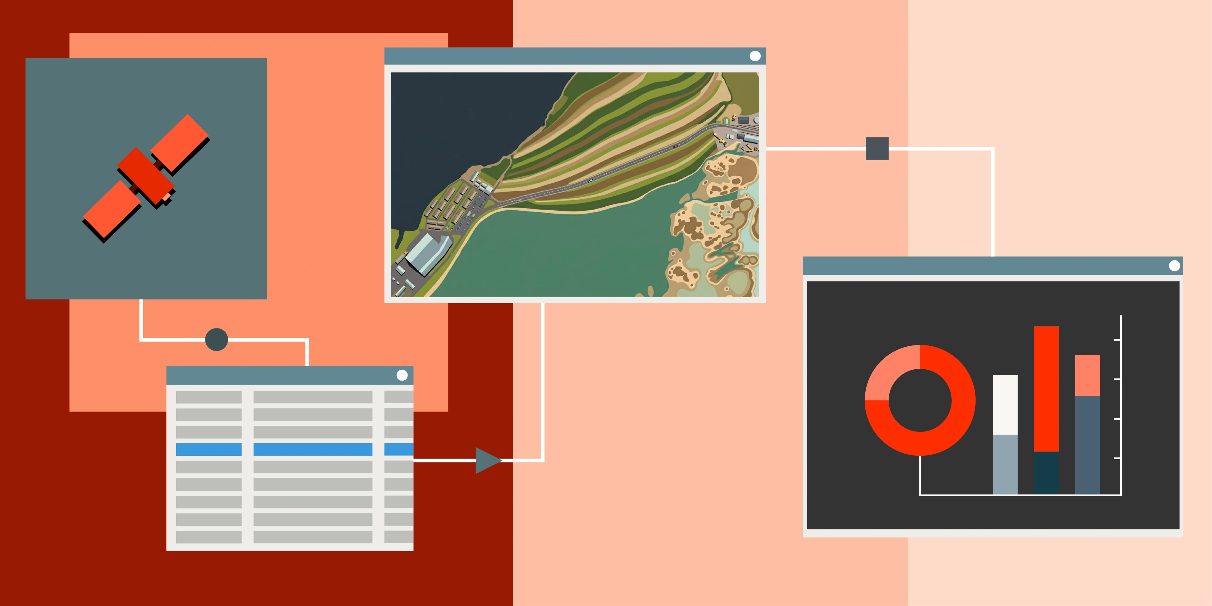
Satellite imagery is at the core of modern decision-making in mining, energy, infrastructure and environmental projects. But with multiple providers and a range of resolutions, revisit rates and price points, knowing which source will deliver the most value can be a challenge.
At Terrabit, we work with a select group of leading satellite operators to give our clients the best mix of cost, coverage and clarity. Here's a practical guide to the best satellite imagery sources we recommend - and when to use them.
Free & Open Satellite Imagery Sources
Before diving into commercial data, there are free and open imagery sources worth considering. These platforms provide global coverage at no cost and are an excellent starting point for early-stage projects, historical analysis, or when you need a quick visual reference before committing to higher-resolution commercial options.
Sentinel (Copernicus) – The European Space Agency's flagship Earth observation program offers 10m optical imagery (Sentinel-2) and radar data (Sentinel-1), with imagery captured every 5 days globally. The deep archive and consistent acquisition make it ideal for regional-scale monitoring and long-term trend analysis.
Landsat (USGS/NASA) – The longest-running satellite imagery program, with an archive stretching back to the 1980s. At 15m (panchromatic) to 30m (multispectral) resolution, Landsat is invaluable for historical change detection and understanding how landscapes have evolved over decades.
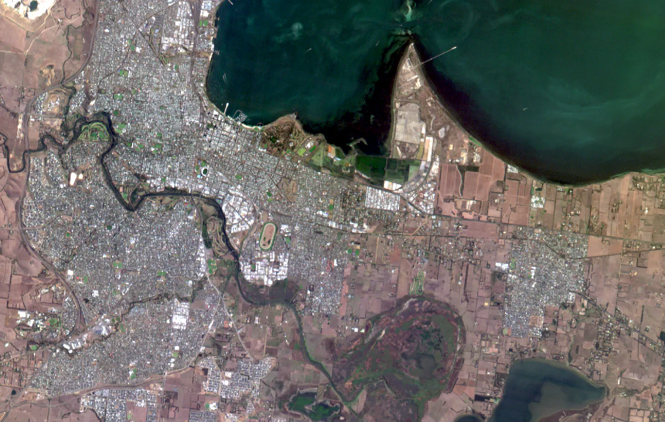
Google Earth – Global satellite and aerial imagery, easily accessible for visual site assessments, preliminary planning and historical comparisons. While not suitable for professional analysis, it's a quick way to orient yourself before requesting commercial data.
Use these for:
- Large-area mapping and baseline assessments
- Historical change analysis
- High-level site reconnaissance and rapid location checks
- Visual storytelling or presentations
Limitations:
- Typically lower resolution than commercial imagery, so not suitable for detailed site monitoring or engineering-level accuracy
- Update frequency varies (especially for Google Earth)
- Cannot task specific captures
- Licensing restrictions limit commercial or operational use - notably with Google Maps
Tip: Start with these free sources for early-stage use cases or visual reference, then move to higher-resolution commercial imagery as project needs require.
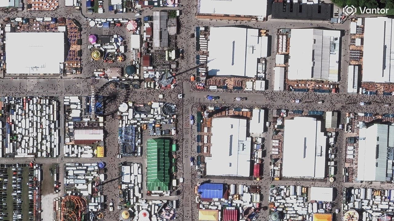
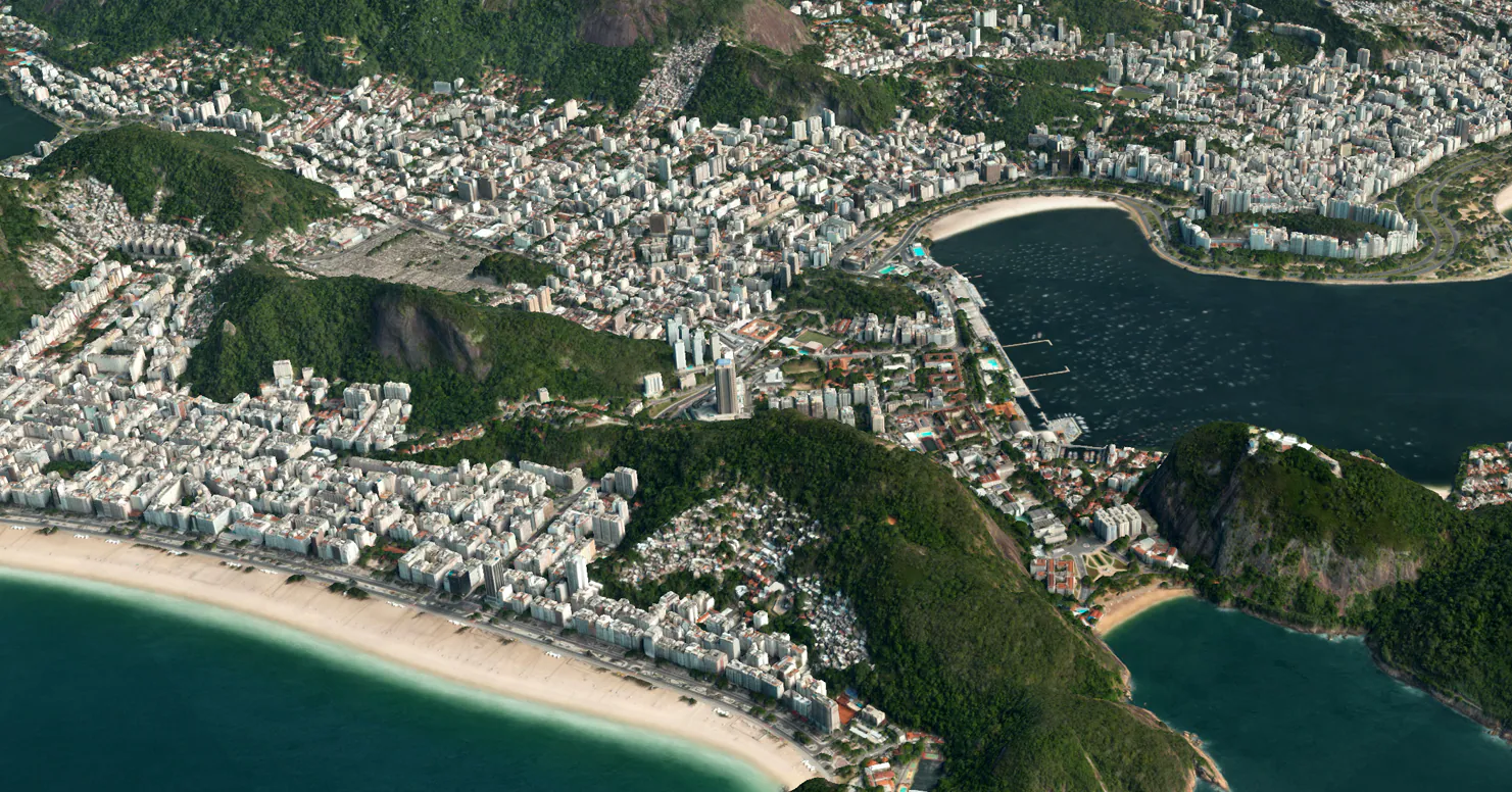
Vantor - The Benchmark for Very High Resolution
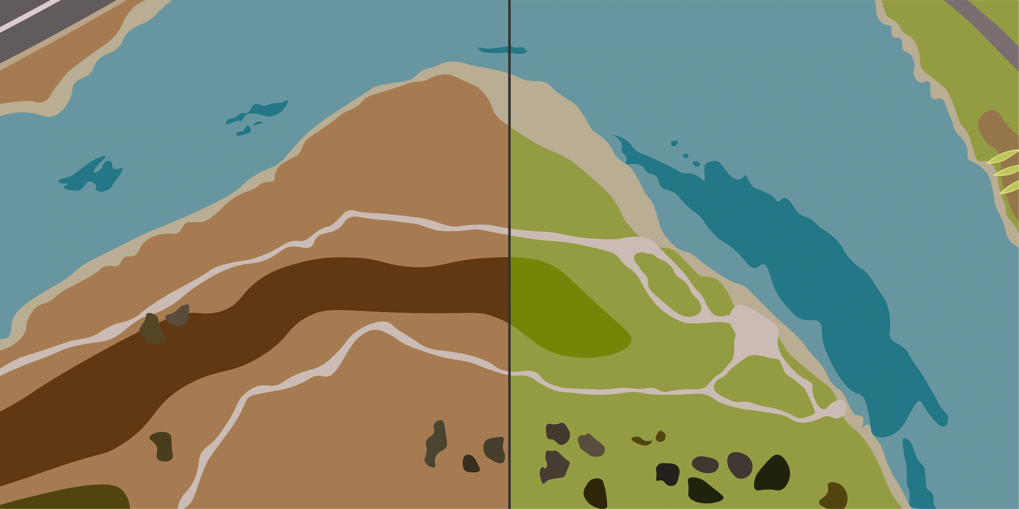
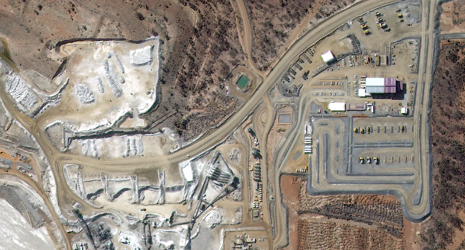
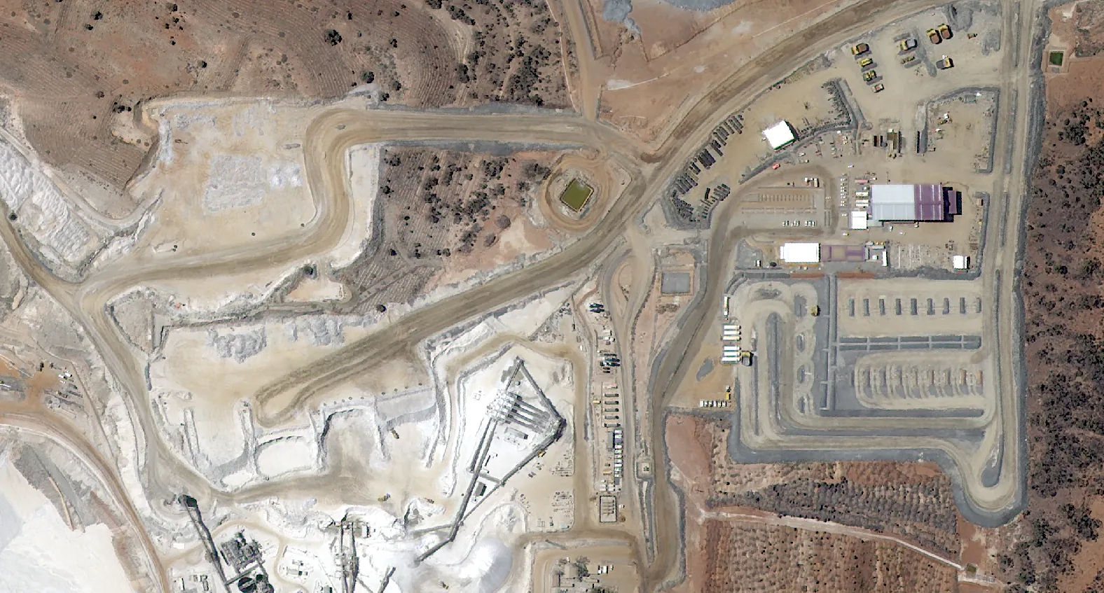
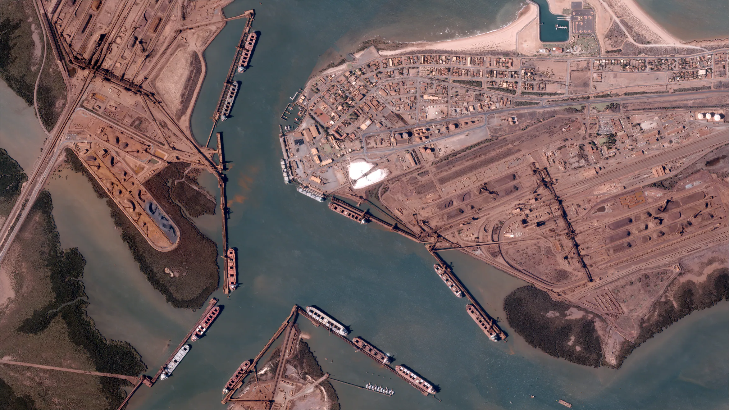
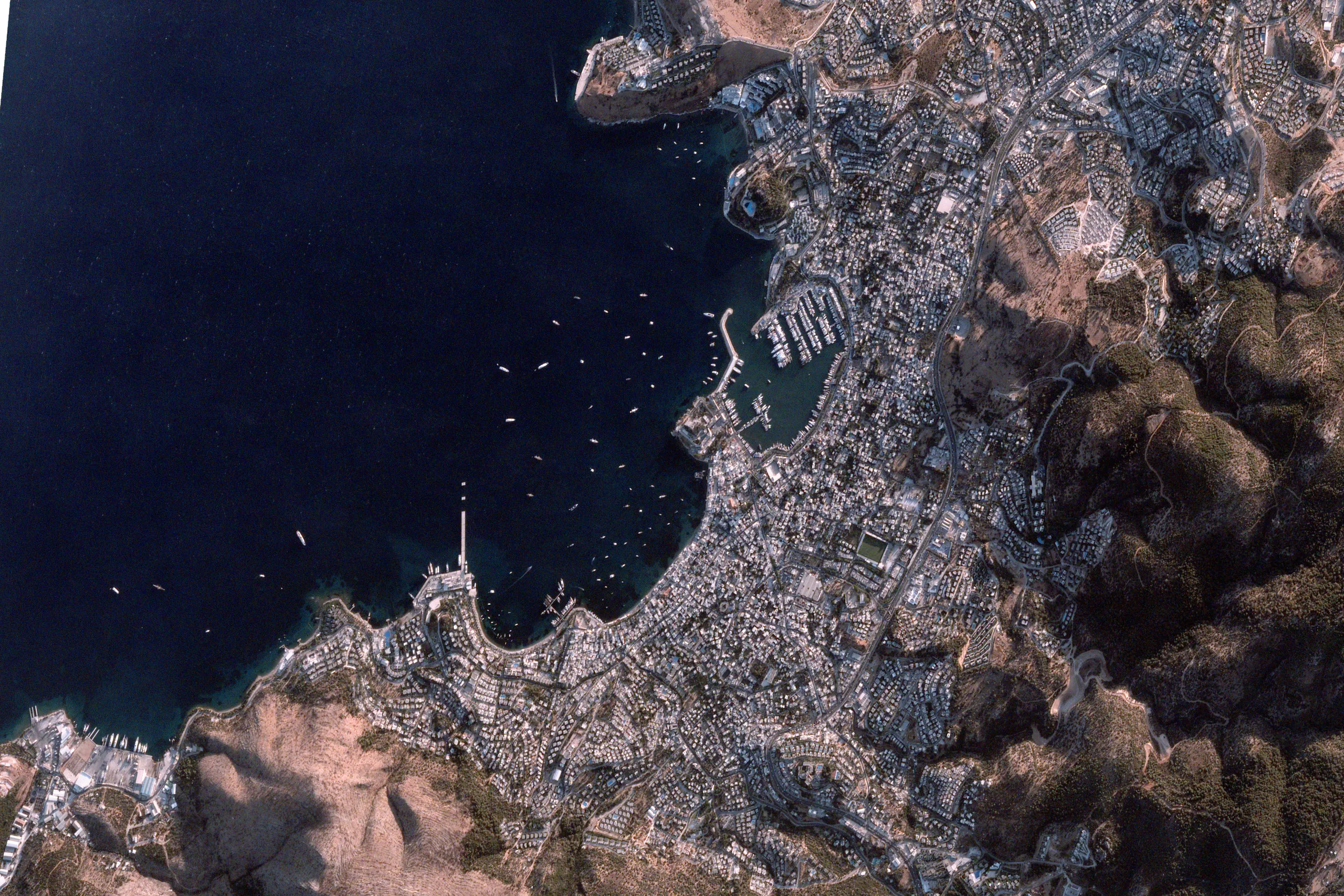
Vantor's WorldView-3 and Legion satellites offer the most comprehensive 30cm constellation capturing imagery at 30cm resolution, delivering some of the sharpest commercial data available at an intra-daily cadence. They also offer 50cm products and one of the largest very-high-resolution archives - ideal for tracking change over time.
With decades of archive imagery and the ability to capture at sub-meter resolution multiple times per day, Vantor is the go-to choice for projects demanding maximum clarity and positional accuracy. Whether you're designing a new mine pit, classifying vegetation communities, or documenting compliance for regulators, Vantor's imagery provides the level of detail that stands up to scrutiny.
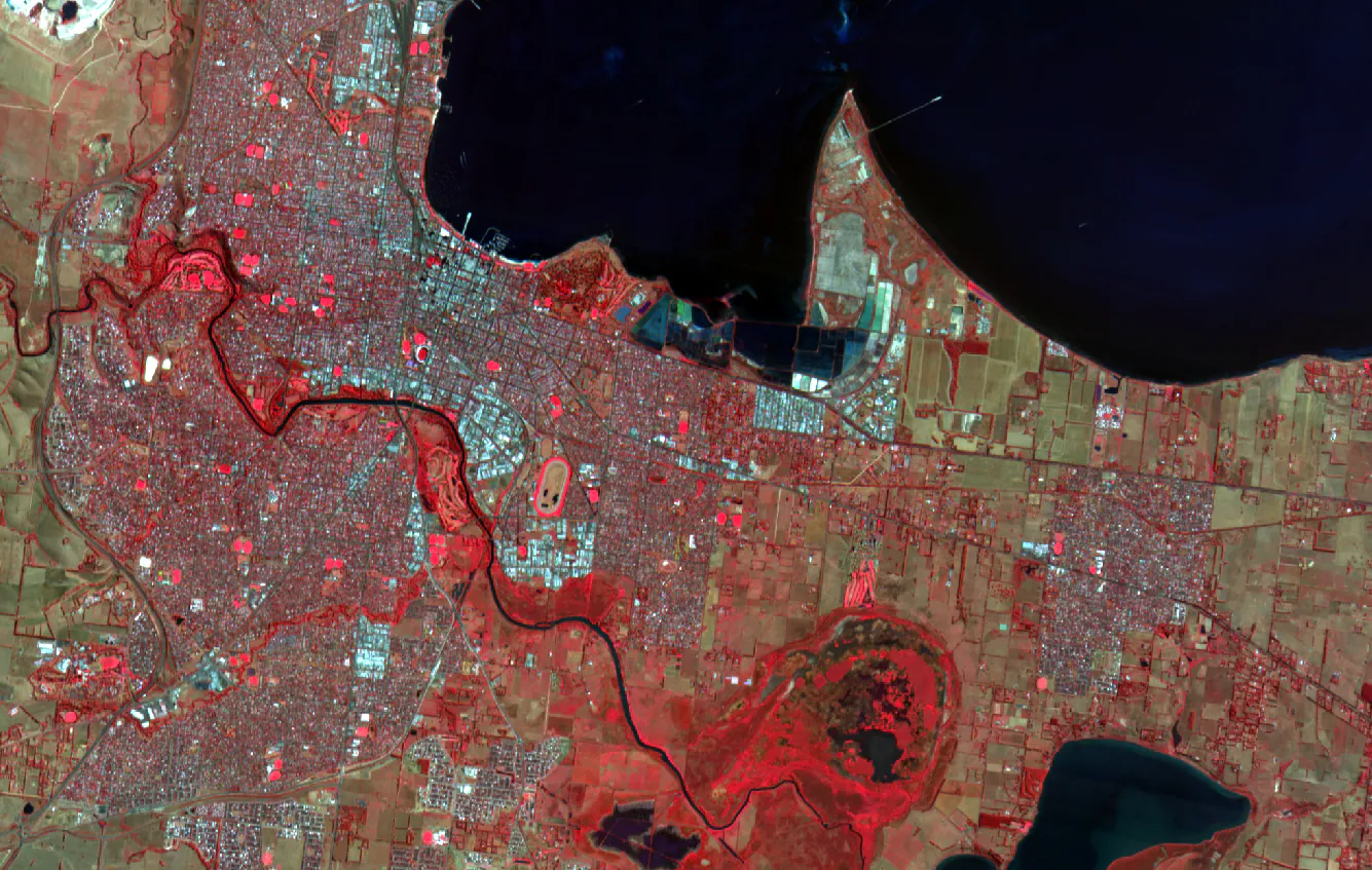
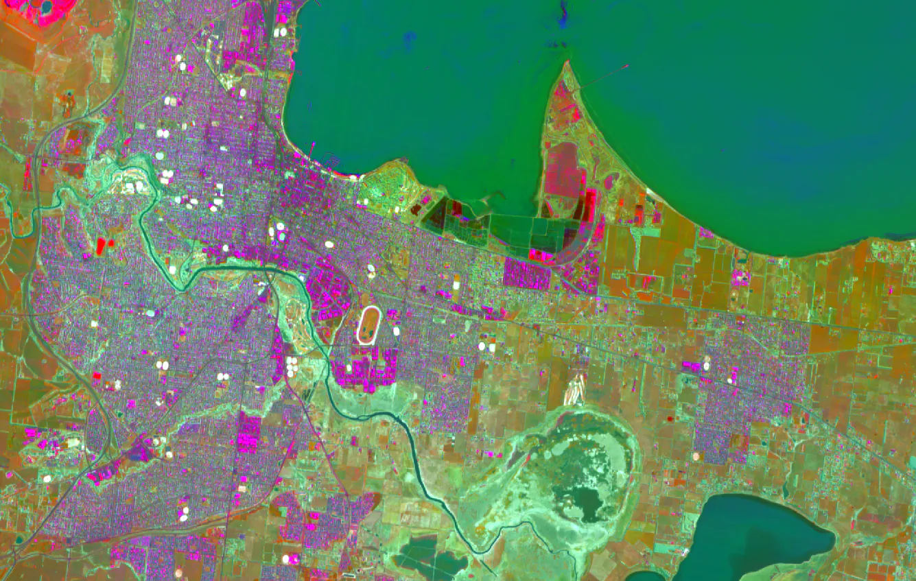
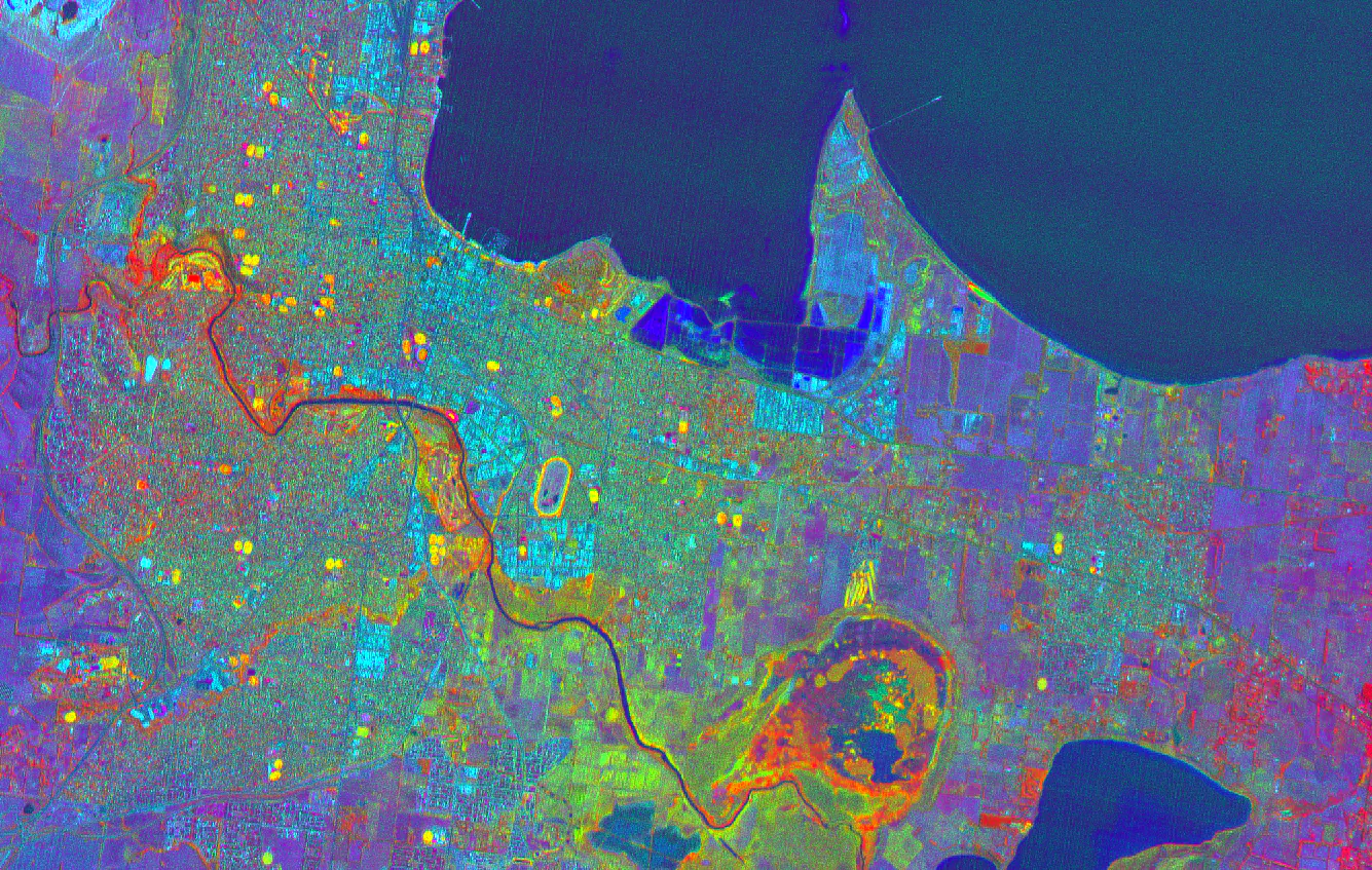
Beyond resolution, Vantor's constellation offers impressive spectral capabilities. WorldView-3 captures 16 bands including 8 SWIR (shortwave infrared) bands at 3.7m resolution, making it uniquely suited for mineral identification and geological mapping. WorldView-2 and the Legion constellation provide 8 multispectral bands, which are particularly effective for vegetation mapping, land cover classification and environmental monitoring.
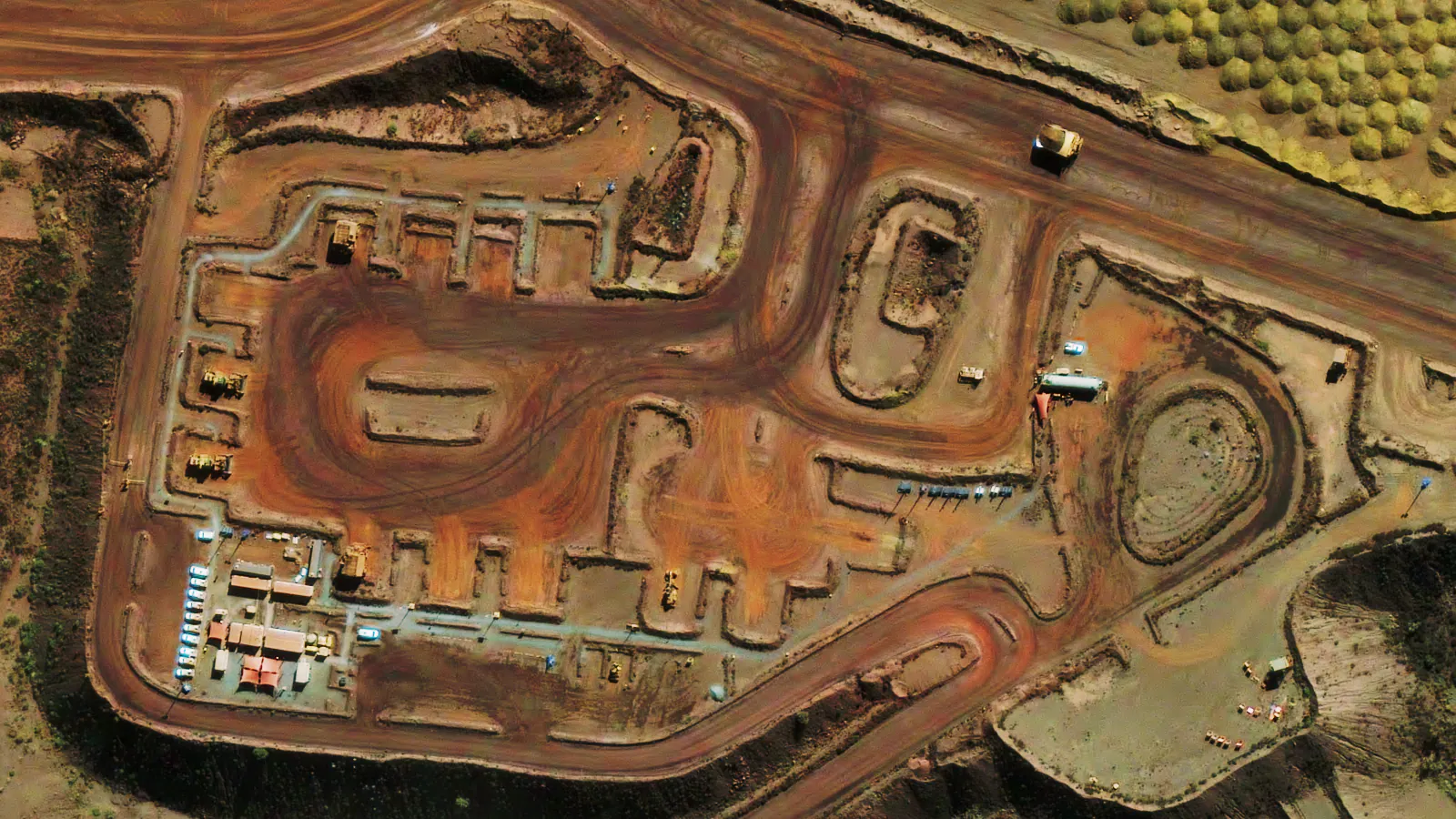
- Best for: Detailed mine design, vegetation classification, port or infrastructure monitoring and compliance monitoring.
- Strengths: Exceptional image clarity, largest 30cm constellation, high positional accuracy and a vast archive for time-series analysis.
- Considerations: Premium pricing - best used when maximum detail and precision are required.
SIIS / KOMPSAT – Cost Effective All-Weather Monitoring
SI Imaging Services (SIIS) provides access to the KOMPSAT constellation, offering both high-resolution optical imagery and versatile Synthetic Aperture Radar (SAR) data. This makes it a powerful solution for continuous monitoring of active sites, infrastructure and environmental projects - even in cloudy conditions or at night.
For organisations that need reliable, repeatable coverage without premium pricing, KOMPSAT strikes an excellent balance. The combination of optical and SAR sensors means you can maintain monitoring schedules even during wet seasons or in tropical regions where cloud cover often disrupts optical-only programs.
- KOMPSAT-3: 50cm panchromatic / 2m multispectral - ideal for detailed site-level monitoring
- KOMPSAT-3A: 40cm panchromatic / 1.6m multispectral - very high-resolution optical coverage
- KOMPSAT-5: SAR with multiple modes, from 1m Spotlight for fine detail to 20m Wide Swath for regional coverage
- Best for: Regular monitoring of mines, vegetation health, linear infrastructure (rail, road, pipelines) and projects requiring reliable, repeatable imagery.
- Strengths: Flexible combination of optical and radar data, consistent image quality and dependable tasking for routine monitoring campaigns.
- Considerations: Lower optical resolution compared with Vantor and lacking a notable archive, but adaptable for all-weather operations.
BlackSky – High Revisit, Rapid Delivery
BlackSky operates a constellation focused on monitoring at ~1m resolution from Gen-2 (12) satellites and 35cm from the Gen-3 (2) satellites, delivering imagery often within hours of capture. This makes it ideal for time-sensitive operations and operational intelligence.
When speed matters more than maximum resolution, BlackSky delivers. With up to 15 revisits per day at mid-latitudes and imagery delivered within hours of capture, it's the ideal choice for tracking fast-moving situations - whether that's construction progress, incident response, or operational activity at ports and logistics hubs. The new Gen-3 satellites now bring 35cm resolution to the constellation, closing the gap with traditional very-high-resolution providers.

- Best for: Rapid change detection, incident response, construction monitoring and operational activity tracking.
- Strengths: Very high revisit frequency, fast delivery and strong temporal coverage for continuous monitoring.
- Considerations: Slightly coarser resolution than Vantor or KOMPSAT, but perfect for identifying where change occurs rapidly before following up with higher-resolution imagery.
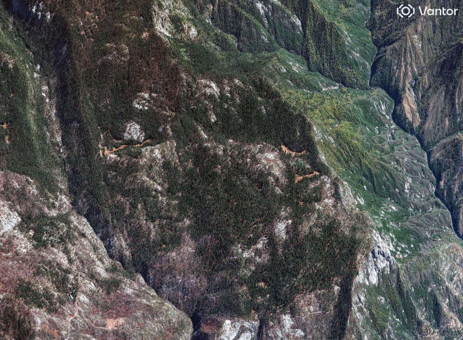
Wyvern - Unlocking Hyperspectral Insights
Wyvern provides hyperspectral imagery, enabling detection of subtle spectral signatures beyond standard optical sensors. This capability supports advanced analysis of minerals, vegetation and environmental changes.
Unlike traditional optical satellites that capture a handful of spectral bands, Wyvern's Dragonette constellation captures data across 23 or 31 narrow spectral bands. This rich spectral information allows analysts to detect things invisible to the human eye - from subtle mineral signatures that guide exploration, to early vegetation stress that indicates irrigation problems or disease, to water quality indicators that track algal blooms and sediment loads.
- Best for: Exploration geology, mineral mapping, vegetation stress and classifications.
- Strengths: Rich spectral detail, unlocking insights beyond RGB or basic multispectral imagery.
- Considerations: Still emerging technology - coverage and solutions continue to evolve as new satellites are deployed.
Choosing the Right Satellite Imagery: Key Trade-Offs
No single provider or sensor does it all - choosing the right satellite imagery is about balancing trade-offs that align with your project requirements and budget.
The key is understanding what you're trying to achieve. A mining engineer tracking pit development might prioritise resolution and positional accuracy, while an emergency manager responding to a bushfire needs the fastest possible delivery regardless of whether it's 35cm or 1m. An environmental scientist building a 10-year change detection study might value archive depth over cutting-edge resolution.
- Resolution vs. revisit rate: Very high-resolution imagery (Vantor) may not be available as frequently as high-revisit constellations like BlackSky.
- Capture date: Is archive data sufficient or do you need fresh capture?
- Coverage area: Large areas vs. small, high-value sites.
- Cost: Match image quality and frequency to project use case and budget.
Why a Multi-Source Approach Wins
The most effective projects don't rely on a single satellite provider - they blend multiple sources to optimise for cost, coverage and capability.
For example, a mining operation might use Sentinel-2 for broad regional context, KOMPSAT for routine monthly monitoring across the full lease, Vantor for quarterly high-resolution compliance captures, and BlackSky for rapid response when an incident or significant change is detected. This layered approach ensures you're never over-paying for resolution you don't need, while still having access to premium data when it matters.
- Vantor for detailed measurements, monitoring large scale and compliance documentation
- SIIS for cost effective, all-weather coverage
- BlackSky for rapid captures and operational awareness
- Wyvern for advanced spectral insights
This mix keeps costs manageable while ensuring you have the right level of detail at the right time.
| Provider | Resolution | Revisit | Strengths | Best For |
|---|---|---|---|---|
| Vantor | 30cm / 50cm | Intra-daily | Exceptional clarity, large archive | Detailed monitoring, compliance |
| SIIS / KOMPSAT | 40–50cm | 4-5 per week | All-weather, optical & SAR | Routine monitoring, linear infrastructure |
| BlackSky | 1m / 35cm | Hours | Rapid delivery, high revisit | Incident response, construction tracking |
| Wyvern | Hyperspectral | 4-5 per week | Rich spectral info | Mineral mapping, vegetation stress |
The Terrabit Advantage
Terrabit partners with Vantor, SIIS, BlackSky and Wyvern to give clients access to the world's most capable satellite imagery sources. Our vendor-neutral approach ensures you get the right data for your project - not just what one provider happens to sell.
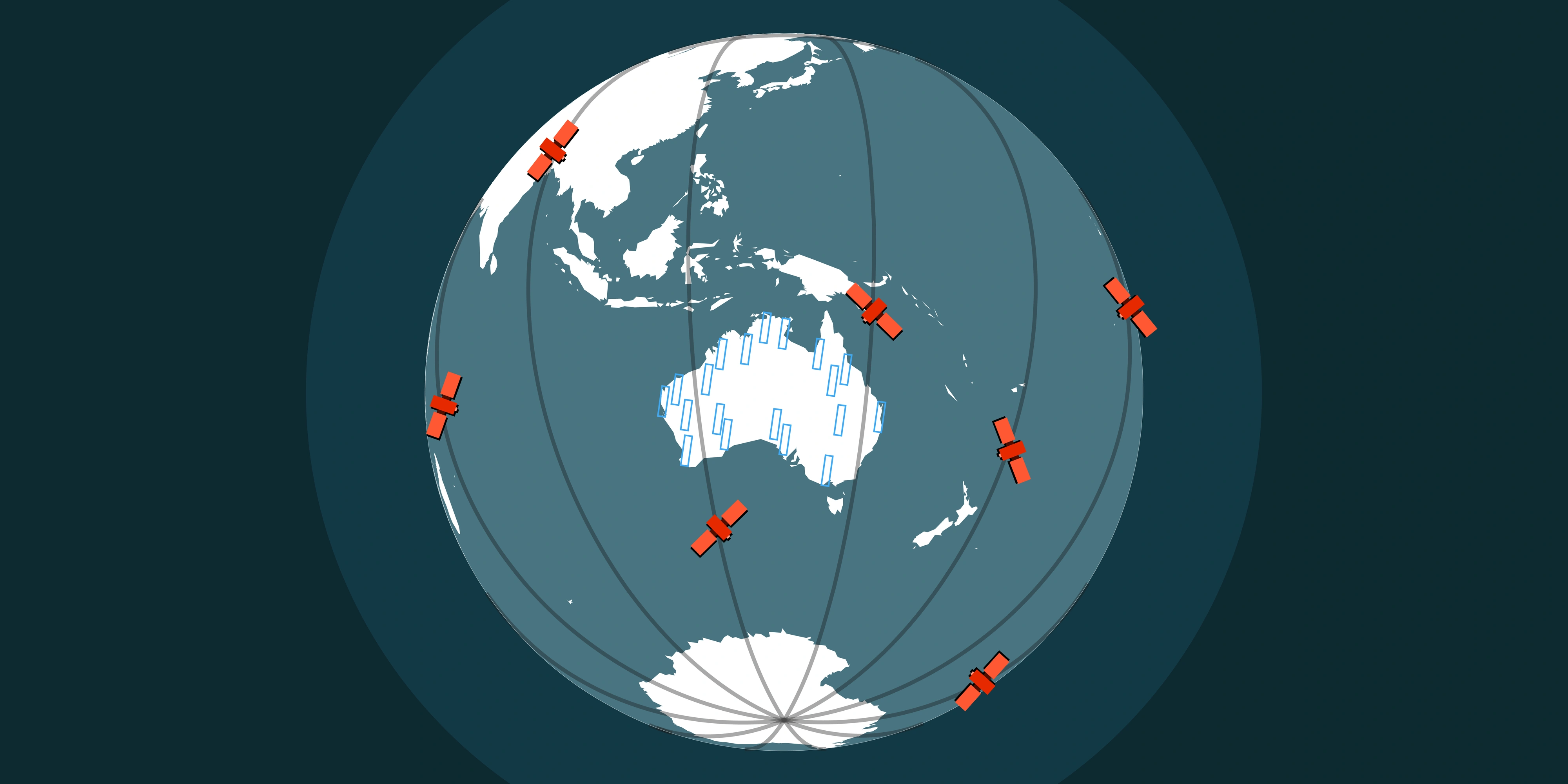
Based in Brisbane, our team understands the unique challenges of Australian projects - from the remote Pilbara to tropical Queensland and everything in between. We handle the complexity of satellite tasking, data processing and delivery so you can focus on what matters: turning imagery into actionable insights.
We help you select, task and integrate imagery into your workflows, so you can focus on insights, not pixels.
Ready to optimise your imagery sourcing? Connect with the Terrabit team - we'll help you build a smarter, more efficient imagery strategy.