Satellite imagery has become an essential data source for government agencies responsible for land management, infrastructure planning, environmental monitoring and emergency response. Modern Earth observation systems allow large areas to be monitored quickly, safely and repeatedly without requiring aircraft or field access, making satellite data particularly valuable for regional and remote operations.
Government organisations use satellite imagery for a wide range of applications including disaster response, urban planning, environmental compliance, defence, border monitoring, infrastructure development and scientific research. With the growth of commercial satellite constellations, imagery is now available at higher resolution, with faster revisit times and more flexible acquisition options than ever before.
This blog explains how satellite imagery is used in government workflows, what types of data are commonly required and how modern commercial satellite systems support planning and emergency response operations.
Why satellite imagery is widely used by government agencies
Government projects often cover very large areas and may involve locations that are difficult to access on the ground. Satellite imagery provides consistent, repeatable coverage across entire regions without the need for aircraft mobilisation or site visits.
Compared to aerial surveys, satellite imagery can usually be acquired faster for large areas and can be captured repeatedly over time, making it suitable for monitoring change as well as mapping.
Common advantages include:
- Coverage of large or remote areas
- Repeat imaging over long time periods
- No need for field access
- Availability of historical archive data
- Ability to capture new imagery on demand
- Multispectral and radar analysis capability
Because satellites operate globally, the same workflow can be used across multiple states, countries or continents, which is important for national and international programs.
Planning applications
Satellite imagery is frequently used during the planning stage of government projects where recent, accurate and consistent base data is required.
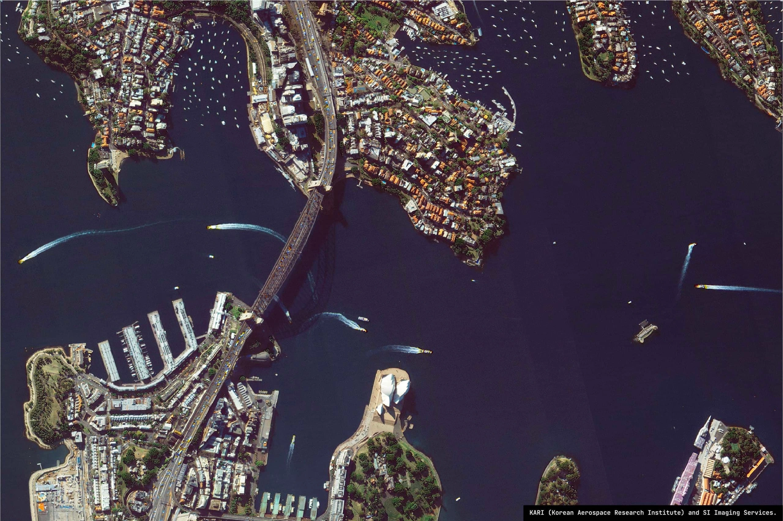
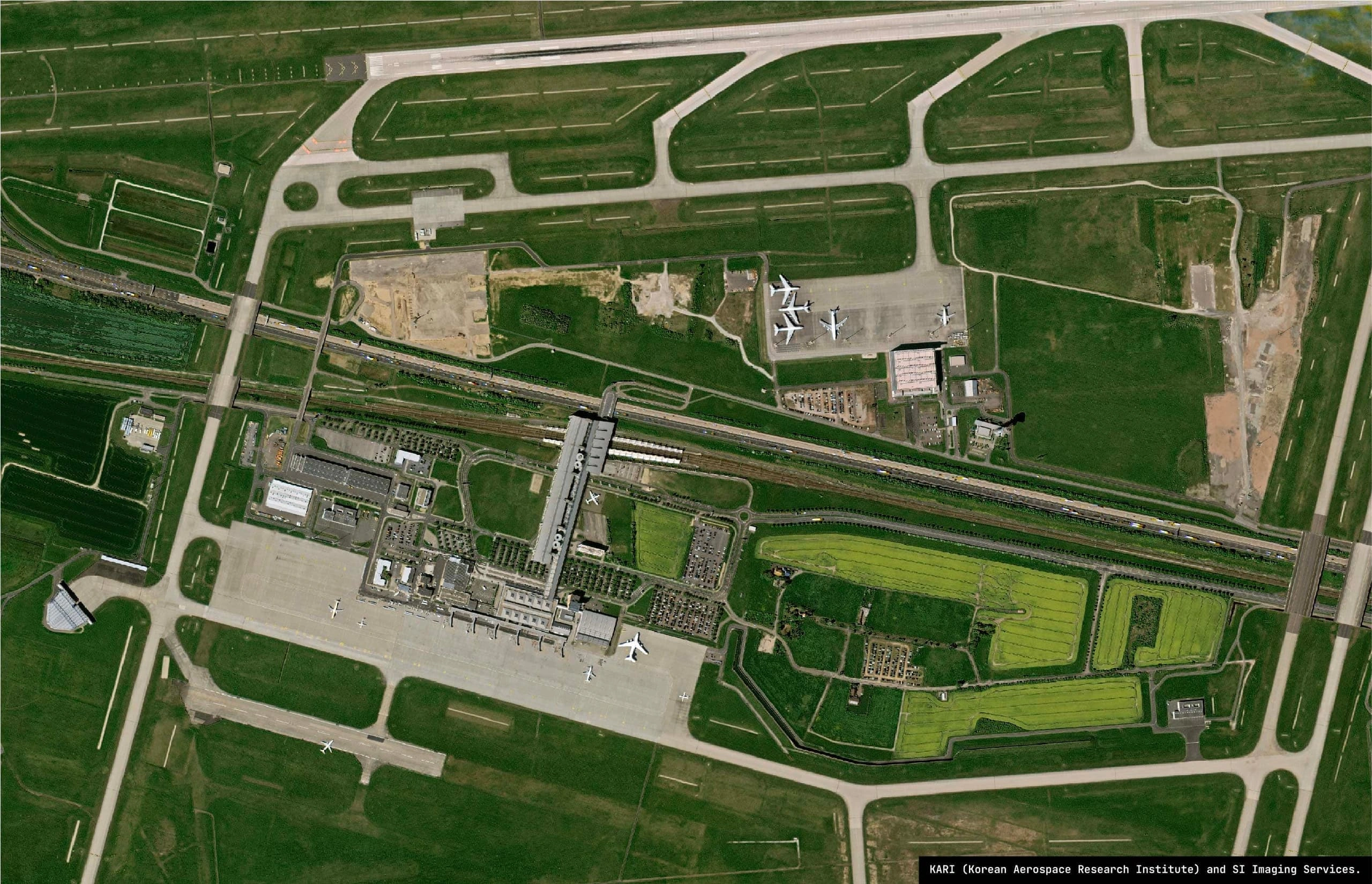
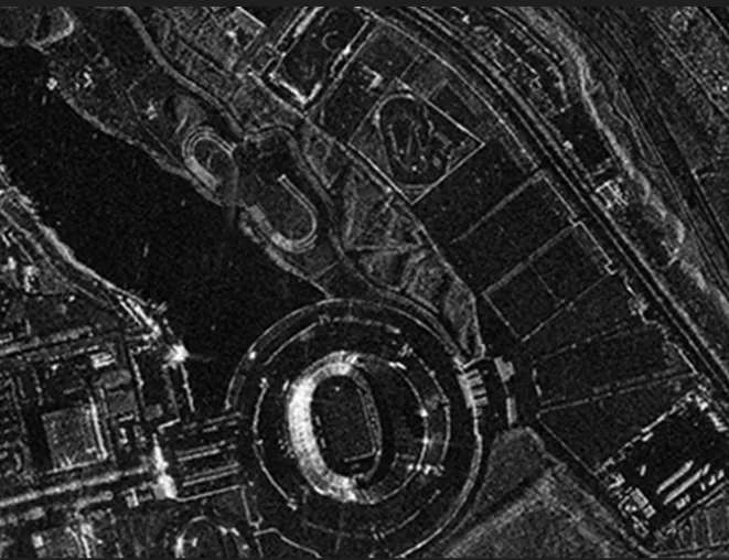
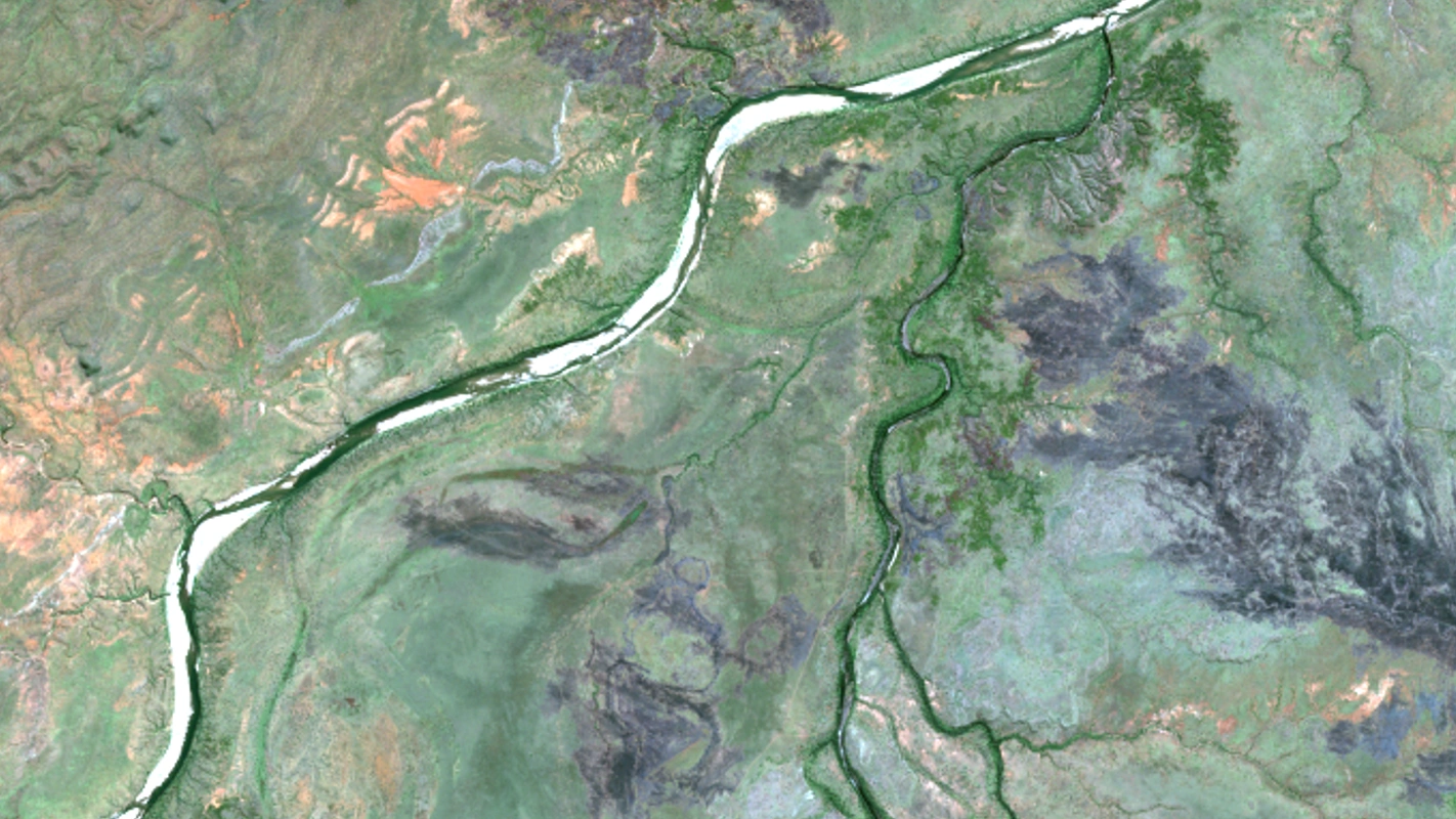
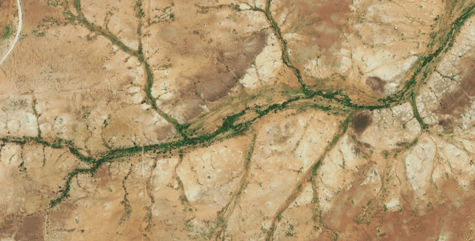
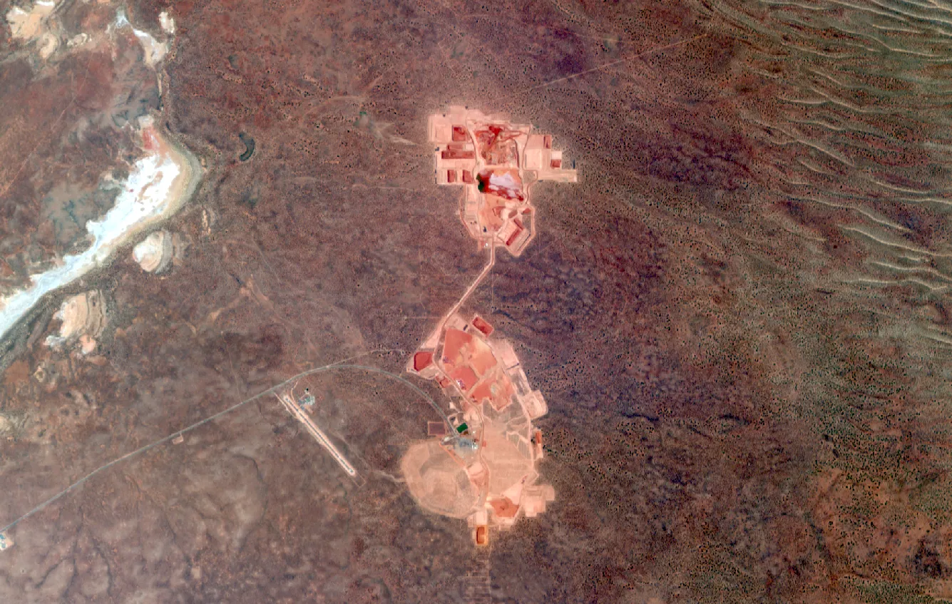
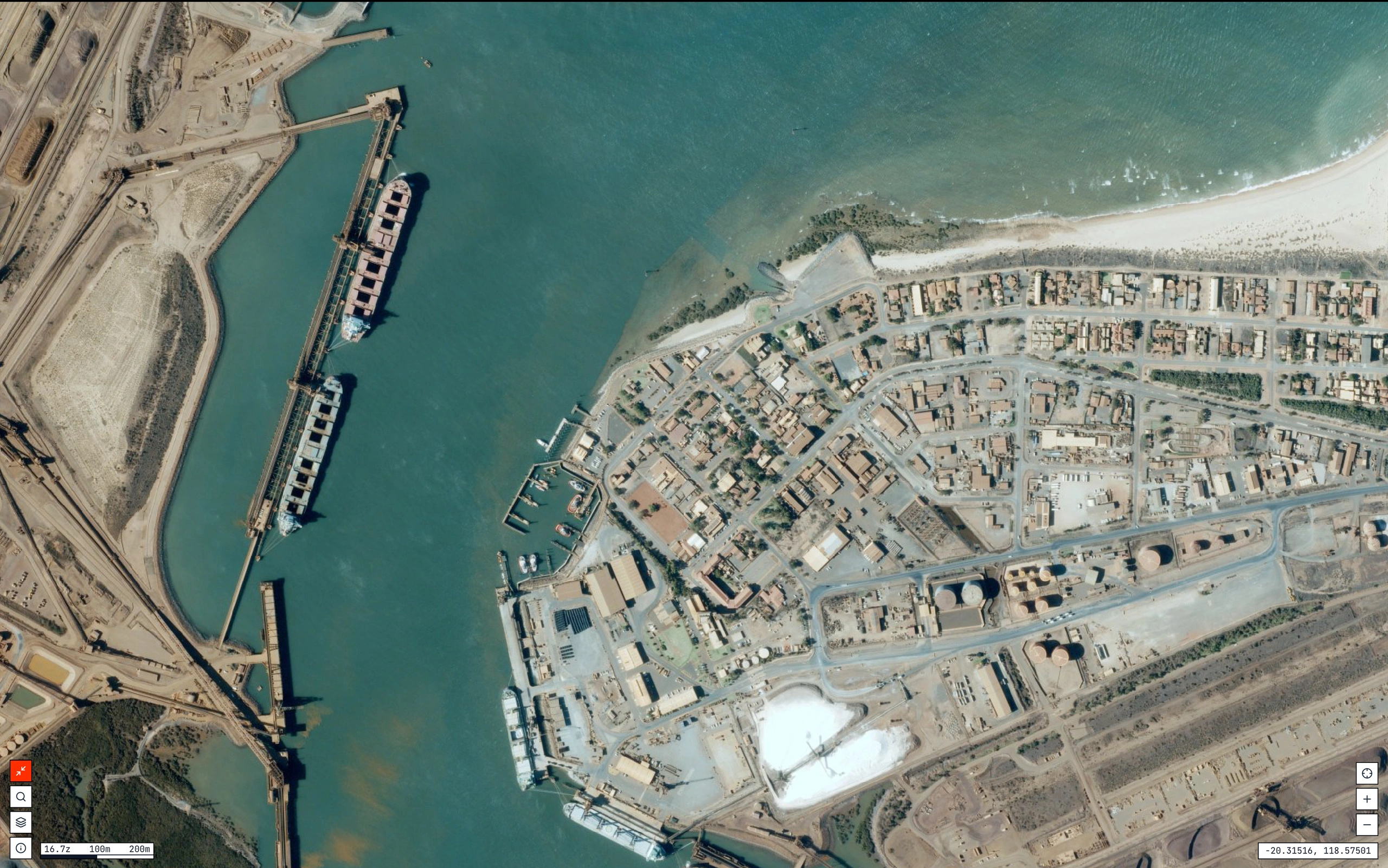
Typical planning uses include urban expansion studies, transport corridor design, environmental impact assessments, land use mapping and infrastructure development. High-resolution optical imagery provides a clear visual reference, while multispectral data allows analysis of vegetation, water, soil and surface conditions.
Lower resolution imagery such as 10m or 30m data is often suitable for regional studies, while 50cm to 30cm imagery are required for detailed planning in built-up areas.
| Application | Typical resolution |
|---|---|
| Regional land use mapping | 10m - 30m |
| Environmental assessment | 10m - 3m |
| Corridor planning | 70cm - 50cm |
| Urban planning | 50cm - 30cm |
| Infrastructure design | 50cm - 30cm |
In many cases, government agencies use archive imagery first to review historical conditions before ordering new captures for the current project stage.
Emergency Management
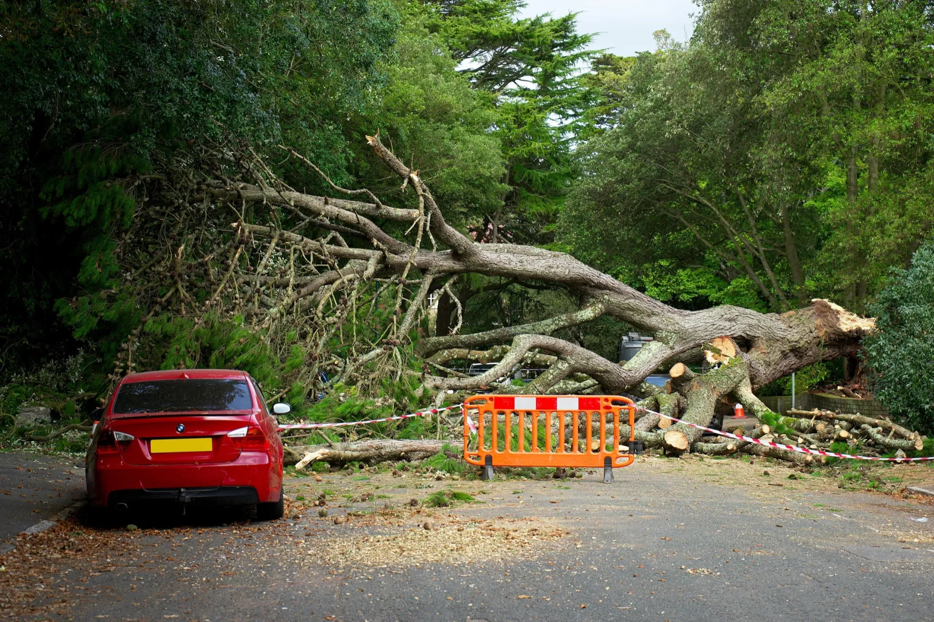
Satellite imagery is widely used during natural disasters and emergency situations because it can capture large areas quickly and does not require access to affected locations.
During events such as floods, bushfires, cyclones, landslides or earthquakes, satellite data can be used to assess damage, monitor change and support decision-making.
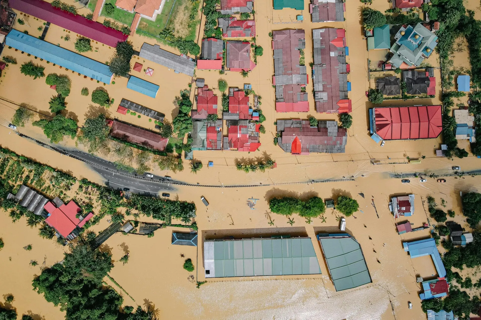
Optical imagery is commonly used for visual assessment, while radar imagery is often used when cloud cover prevents normal imaging. Synthetic Aperture Radar (SAR) can capture data at night and through cloud, which makes it valuable during severe weather events.
High-revisit constellations are particularly useful during emergencies because they can capture the same location multiple times per day.
Emergency use
| Emergency use | Typical data type |
|---|---|
| Flood extent mapping | SAR / optical |
| Fire damage assessment | Optical / multispectral |
| Storm damage | High-resolution optical |
| Landslides | Optical / DEM |
| Oil spills / water monitoring | Multispectral / hyperspectral |
| Activity monitoring | High-revisit optical |
Because disasters often require rapid response, agencies may order tasking instead of archive imagery to ensure the capture date is as recent as possible.
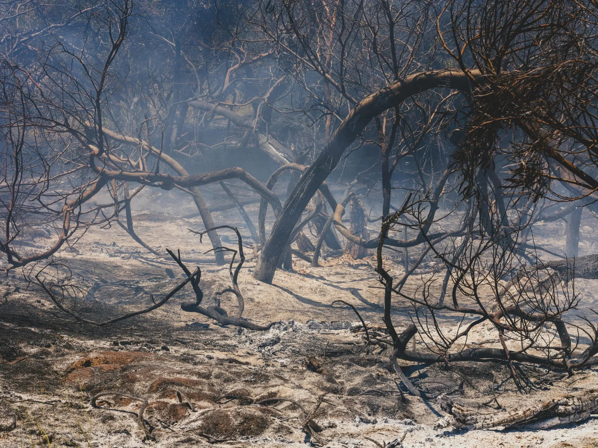
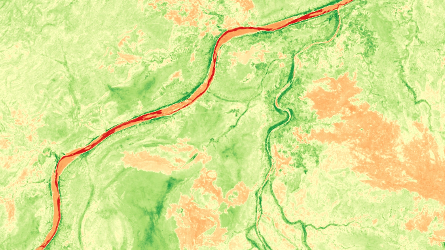
Satellite imagery is also widely used before emergency events occur to monitor conditions, assess risk and support preparedness planning. By analysing vegetation health, terrain, moisture levels and historical change, agencies can identify areas that may be more likely to be affected by bushfires, floods, landslides or storms.
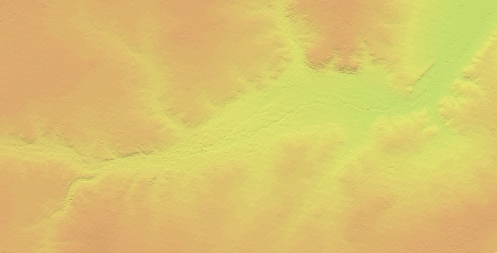
Multispectral imagery is commonly used to monitor vegetation condition and fuel load, while Digital Elevation Models (DEMs) are used to model water flow, flood risk and landslide susceptibility. High-resolution optical imagery is often used to map buildings, roads and critical infrastructure before an event so damage can be compared against a known baseline.
Pre-event monitoring
| Pre-event use | Typical data type or Solution |
|---|---|
| Vegetation health / fuel load | Multispectral / indices |
| Fire risk mapping | Multispectral / high-resolution optical |
| Flood modelling | DEM / SAR / optical |
| Drainage and terrain analysis | DEM |
| Landslide risk assessment | DEM / optical |
| Coastal erosion monitoring | Optical / SAR |
| Infrastructure exposure mapping | High-resolution optical |
| Change detection over time | Optical / SAR |
| Drought monitoring | Multispectral |
| Water level / wetland monitoring | SAR / multispectral |
Because this work is performed in advance, archive imagery and existing elevation data are often suitable, however new tasking may be required when up-to-date conditions are needed before high-risk periods such as bushfire season, cyclone season or major rainfall events.
Archive vs tasking for government projects
Government workflows often use a combination of archive imagery and new tasking depending on the project requirements.
Archive imagery is useful for historical analysis, baseline mapping and cost-effective coverage of large areas. Tasking is used when recent data is required or when a specific capture window is needed.
| Type | Advantages | Limitations |
|---|---|---|
| Archive imagery | Lower cost, fast delivery, historical coverage | May not be recent |
| Tasking | Recent capture, custom specifications | Weather dependent |
For emergency response projects, tasking is often prioritised to obtain the most current data possible.
Role of high-revisit satellite constellations
Traditional Earth observation satellites followed sun-synchronous orbits and captured the same location once every few days. Modern commercial constellations now operate multiple satellites in different orbital configurations e.g Mid-Inclination orbit (MIO), allowing more frequent revisits.
High-revisit systems can capture the same location several times per day, which is useful for monitoring activity, tracking change and responding to time-critical events.
These systems are commonly used for:
- Disaster monitoring
- Border and maritime surveillance
- Infrastructure monitoring
- Construction tracking
- Security and logistics
- Environmental compliance
Frequent imaging allows agencies to observe changes over time rather than relying on a single capture.
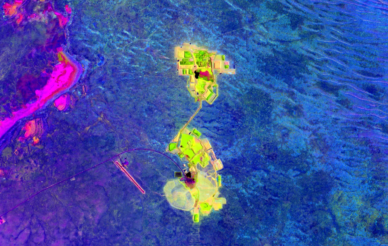
Multispectral and hyperspectral data in government programs
Many government projects require more than standard RGB imagery. Multispectral and hyperspectral sensors record additional wavelengths that allow materials to be analysed based on their spectral response.
Multispectral imagery is commonly used for vegetation health, water quality, soil disturbance and land classification. Hyperspectral imagery provides even more detail and can be used for mineral mapping, environmental monitoring and scientific studies.
| Data type | Typical use |
|---|---|
| RGB / Panchromatic | Visual mapping |
| Multispectral | Vegetation, water, soil |
| Hyperspectral | Mineral / environmental analysis |
| SAR | Flood Monitoring |
| DEM / DSM | Terrain and elevation |
Selecting the correct sensor type is often more important than selecting the highest spatial resolution.
Managing satellite imagery projects
Large government programs may involve multiple areas of interest, different capture dates and several satellite providers. Managing these acquisitions manually can be difficult, especially when tasking is involved.
Order management platforms allow users to track capture progress, monitor tasking status and download imagery from a single interface. This is particularly useful when multiple agencies or contractors are involved in the same project.
Platforms such as Albatross allow users to:
- Submit archive and tasking requests
- Track capture windows
- Monitor order status
- Download deliverables
- Manage multiple projects
Centralised management reduces delays and makes it easier to coordinate data across teams.
Coordinating across agencies? A single workspace for tasking, archive search and delivery removes the back-and-forth that slows down multi-stakeholder programs. Visit our Company page to learn more about how Terrabit supports government workflows.
Commercial satellite providers used in government workflows
Government agencies often use a combination of satellite systems depending on the resolution, revisit frequency and spectral capability required.
High-resolution optical imagery is typically used for mapping and planning, while high-revisit constellations support monitoring projects. Hyperspectral sensors are used for specialised environmental and scientific applications.
| Provider | Typical strength | Common use |
|---|---|---|
| SI Imaging Services | High-resolution optical / SAR | Mapping, engineering |
| Vantor | Very high-resolution optical | Monitoring, GIS |
| BlackSky | High-revisit constellation | Emergency response |
| Wyvern | Hyperspectral | Environmental / mineral |
Using multiple providers allows the most suitable sensor to be selected for each project.
Conclusion
Satellite imagery is now a standard data source for government planning, environmental monitoring, infrastructure development and emergency response. Modern Earth observation systems provide global coverage, frequent revisit cycles and a wide range of sensor types, enabling consistent access to spatial information without the need for field-based data collection.
Selecting the appropriate resolution, sensor type and acquisition approach is critical to ensuring the data is suitable for the intended application. Depending on the use case, archive imagery, tasking, multispectral analysis and high-revisit monitoring all play different roles in supporting accurate interpretation and decision-making.
As satellite data becomes more accessible and higher in resolution, understanding these key factors is increasingly important for ensuring reliable, fit-for-purpose geospatial analysis across industries.