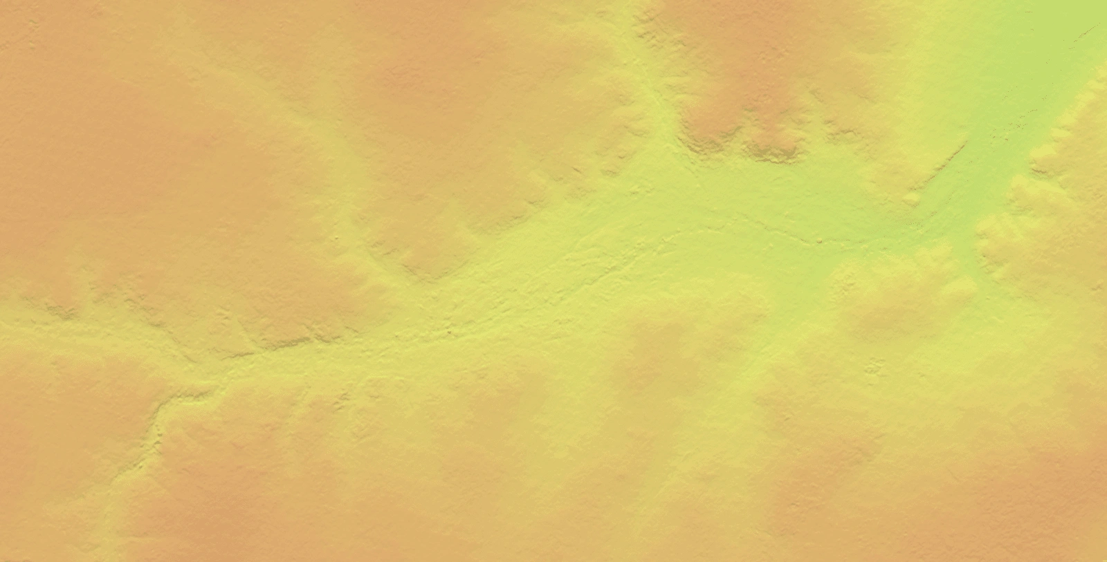
Digital Elevation Models (DEMs) are one of the most widely used geospatial datasets in modern Earth observation and GIS workflows.
At their core, DEMs represent the bare ground surface of the Earth in a continuous digital grid - removing buildings, vegetation and other surface objects to reveal the true shape of the terrain.
But in practice, that "bare earth" definition depends heavily on how the DEM is created. The sensor used, the processing approach and the experience of the team all play a role -particularly when balancing automated workflows against manual editing and quality control.
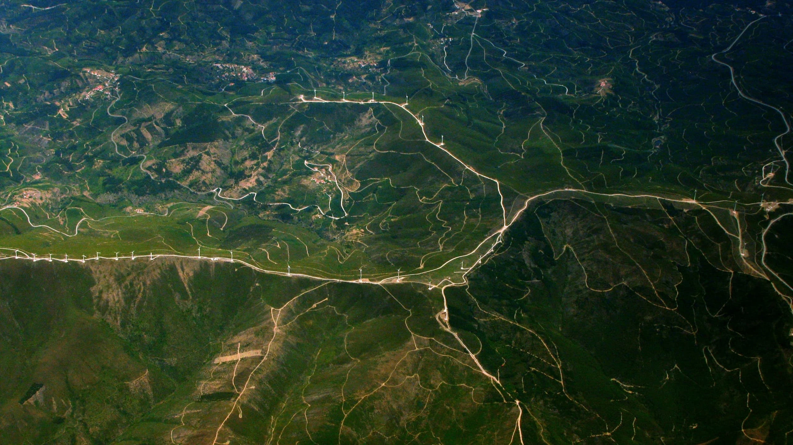
Across industries, DEMs underpin everything from large-scale modelling and design through to detailed risk analysis and operational planning. From mining pits to floodplains to transmission corridors, they quietly support some of the most important spatial analysis being done today.
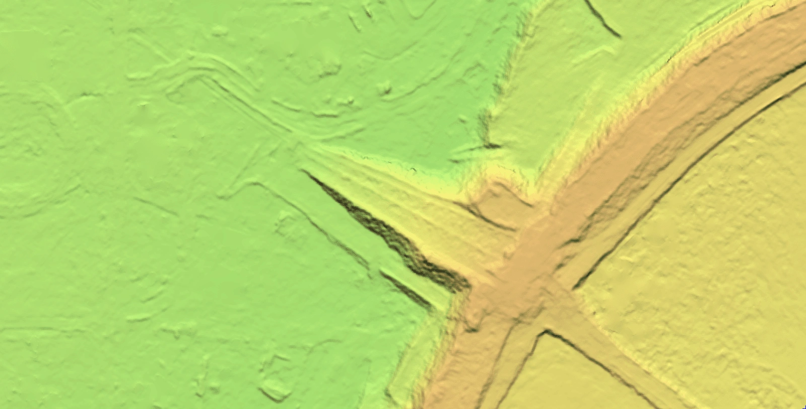
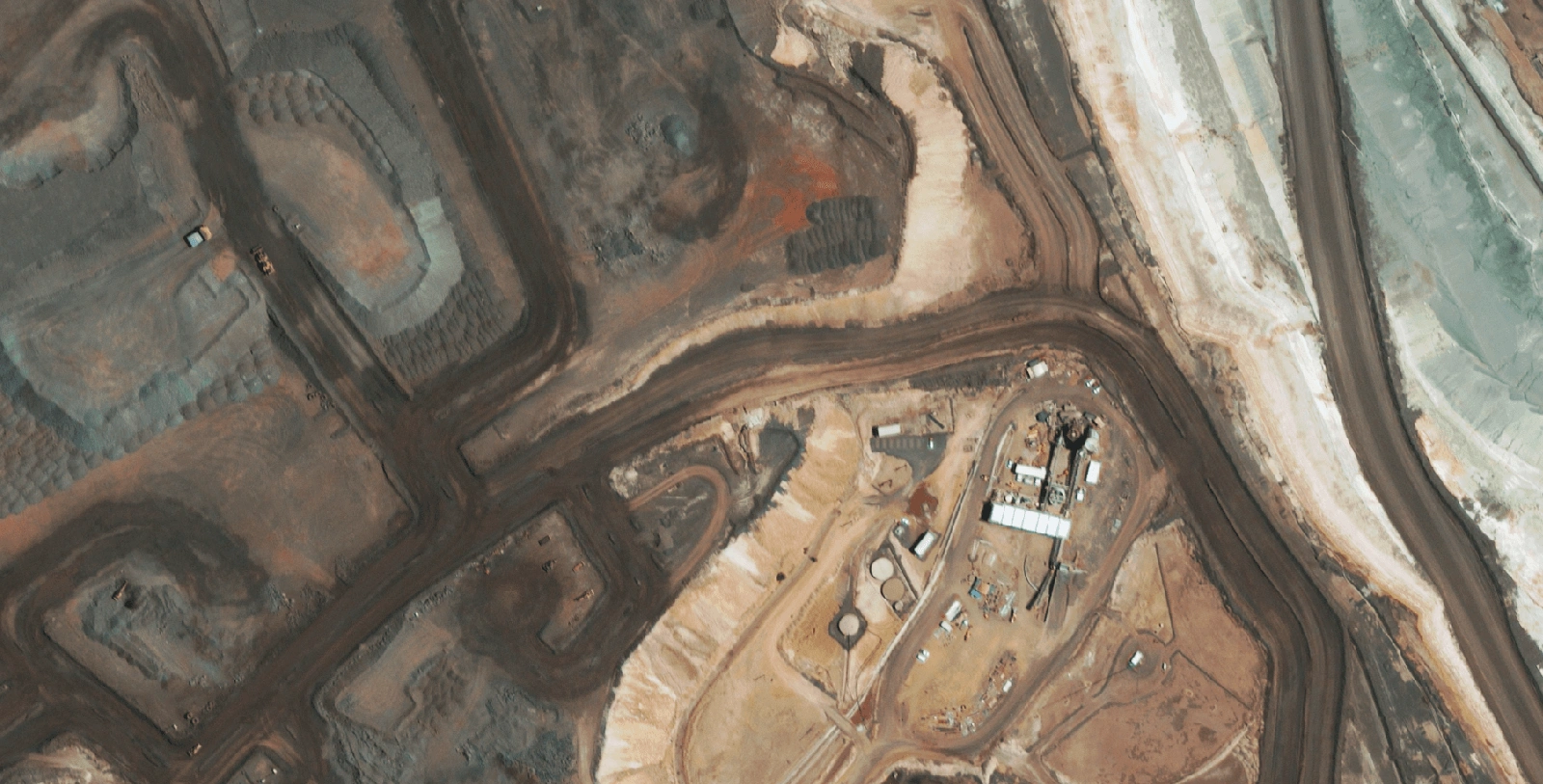
1. Mining Operations
Mining is one of the most established use cases for DEMs.
Accurate terrain models are essential for understanding site conditions and how material and infrastructure interact with the landscape across the life of a project.
Common use cases include:
- Access route and haul road planning
- Site access and logistics planning
- Cut and fill estimation for early-stage earthworks
- Open pit and project area terrain visualisation
A DEM provides the baseline terrain layer used to quantify earthworks, assess constraints and support decision-making across both planning and operational phases. When updated over time, it also enables consistent monitoring of how a site evolves through different stages of development.
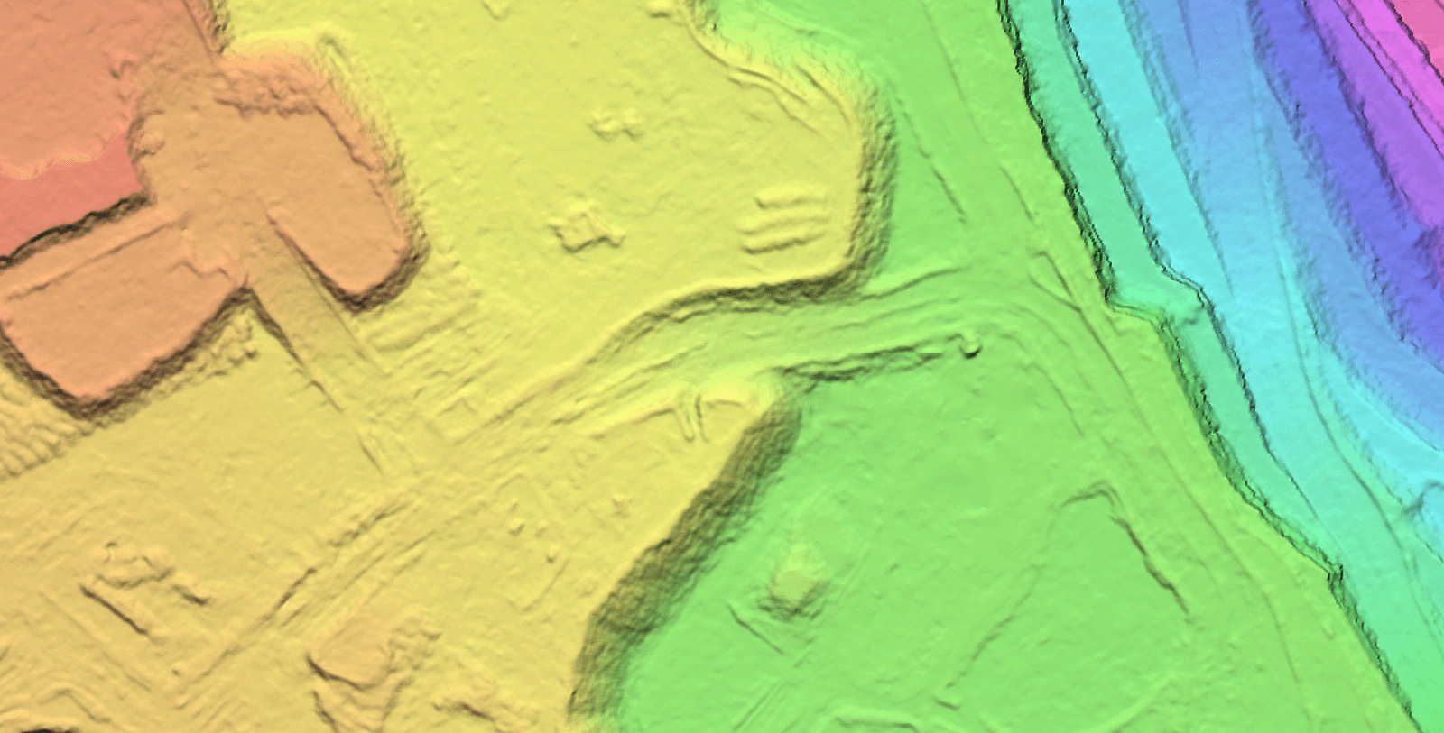
2. Civil Engineering and Infrastructure Planning
For civil engineering and infrastructure projects, DEMs are typically one of the first datasets used during early-stage planning and feasibility assessment.
They provide a fast way to understand terrain conditions and site constraints before detailed surveying or design work begins.
Key applications include:
- Road and rail corridor planning and route comparison
- Pipeline and transmission line route selection support
- Preliminary earthworks and cut/fill assessment
- Site feasibility and constraint mapping
- Drainage and surface water flow analysis support
By providing early visibility of slope, elevation and terrain variability, DEMs help identify potential constraints and opportunities earlier in the project lifecycle. This supports more informed decision-making and reduces the likelihood of major redesigns later as projects progress into detailed design and construction phases.
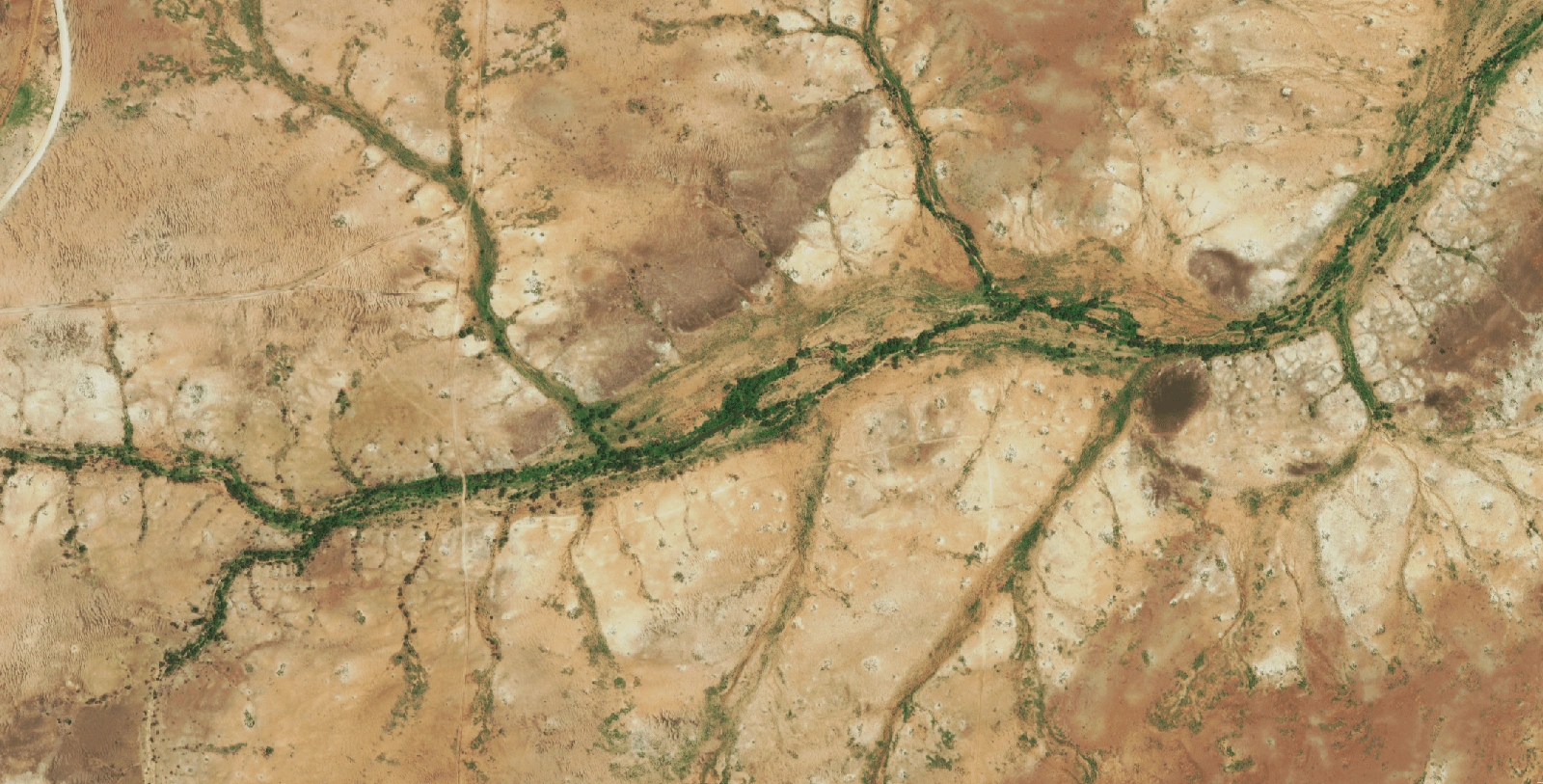
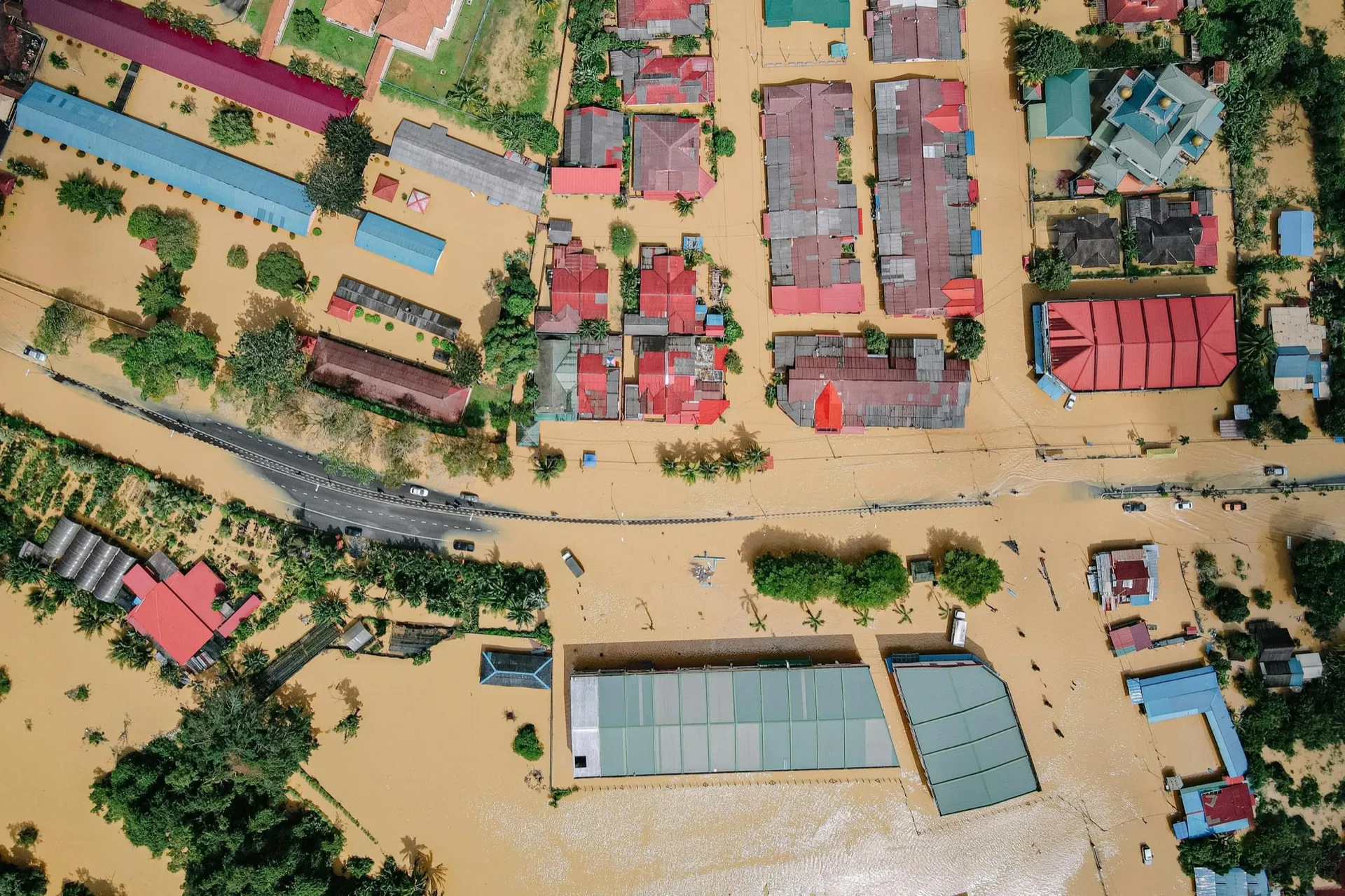
3. Flood Risk and Hydrological Modelling
Water movement is fundamentally driven by terrain, making elevation data a key input for hydrological analysis.
DEMs are commonly used to understand how water is likely to move across a landscape, particularly during rainfall extremes and major weather events.
Typical applications include:
- Flood extent and inundation mapping
- Catchment and watershed delineation
- Flow direction and runoff pathway analysis
- Storm surge and coastal inundation modelling support
- Drainage and surface water planning inputs
Even relatively small variations in elevation can influence how water accumulates and travels through a landscape, which is why DEM resolution, coverage and source data quality are important considerations in hydrological workflows.
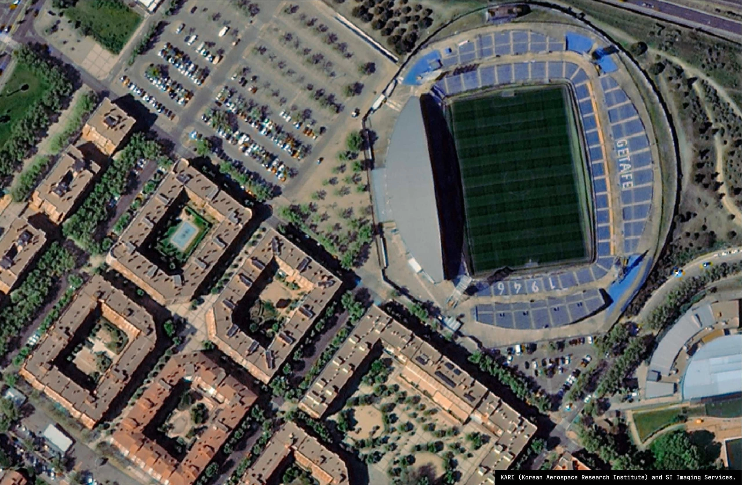
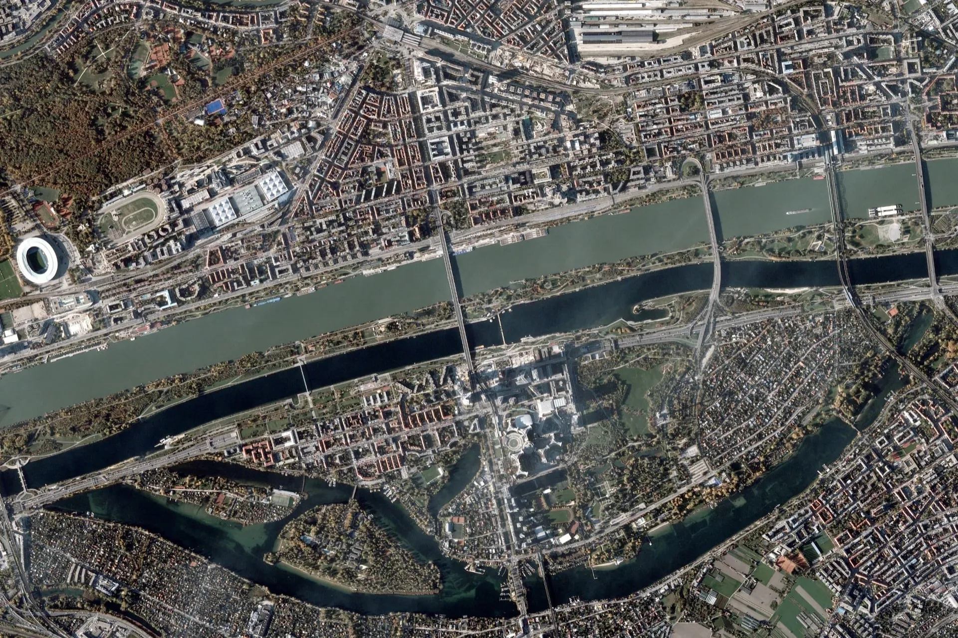
4. Urban Planning and Smart Cities
As cities become more data-driven, DEMs are increasingly used to support 3D urban modelling and spatial analysis workflows.
They provide the terrain foundation used in building more complete representations of urban environments.
Common uses include:
- Urban growth and expansion analysis
- Integration of building footprints into 3D city models
- Solar exposure and shadow modelling
- Viewshed and line-of-sight analysis
- Infrastructure planning and spatial constraint assessment
When combined with surface models such as DSMs, DEMs help enable more complete 3D representations of cities, supporting applications in digital twin and urban analytics environments.
5. Telecommunications and Network Planning
In telecommunications, terrain plays a critical role in signal behaviour and line-of-sight performance.
Even small changes in elevation can influence coverage, particularly in higher-frequency networks such as 4G and 5G, where obstructions have a greater impact on signal propagation.
DEMs are commonly used for:
- Cell tower placement and coverage analysis support
- Line-of-sight (LoS) assessment
- Signal propagation and coverage modelling
- Microwave link planning and feasibility analysis
- Network expansion planning and scenario testing
This is particularly important in regional and remote areas, where terrain variability is higher and infrastructure deployment decisions need to account for broader spatial constraints.
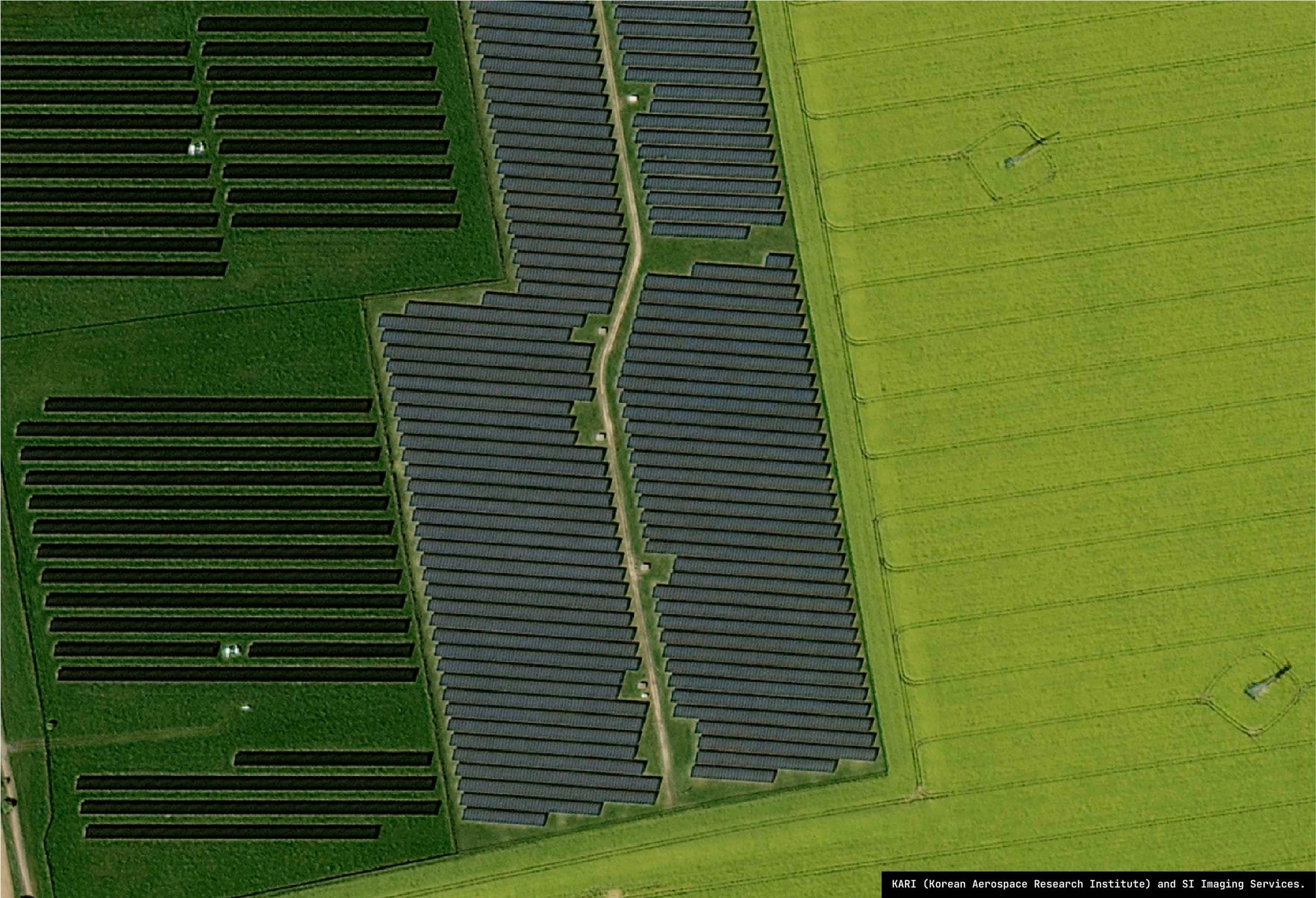
6. Renewable Energy (Solar and Wind)
Energy developers rely heavily on DEMs during early-stage feasibility assessments and site selection studies.
Terrain plays a key role in both solar exposure and wind behaviour across a site.
Key applications include:
- Solar farm slope and aspect analysis
- Shadow and shading modelling
- Wind flow and turbine siting assessment support
- Site grading and earthworks planning inputs
- Access route and infrastructure planning
For large-scale renewable projects, even small variations in terrain can influence overall site performance and development efficiency, making elevation data an important input during the early planning stages.
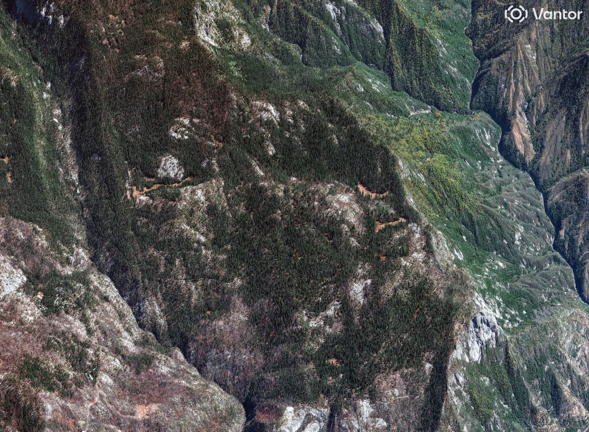
7. Environmental Monitoring and Conservation
DEMs also play an important role in understanding natural systems and tracking environmental change over time.
They are commonly used for:
- Erosion and land degradation monitoring
- Vegetation and habitat analysis (when combined with other datasets)
- Landslide susceptibility mapping support
- River morphology and change detection
- Ecosystem restoration planning inputs
Because DEMs represent the underlying terrain, they are particularly valuable for analysing physical landscape change and identifying how natural processes are shaping the environment over time.
8. Emergency Response and Disaster Management
In time-critical environments, DEMs support rapid spatial understanding when conditions are changing quickly.
Use cases include:
- Bushfire spread analysis and modelling inputs
- Emergency evacuation planning support
- Landslide and terrain instability risk assessment
- Flood response and impact mapping
- Accessibility and logistics planning during events
In disaster scenarios, terrain is often one of the first datasets used to understand how an event may develop and how it is likely to interact with the landscape.

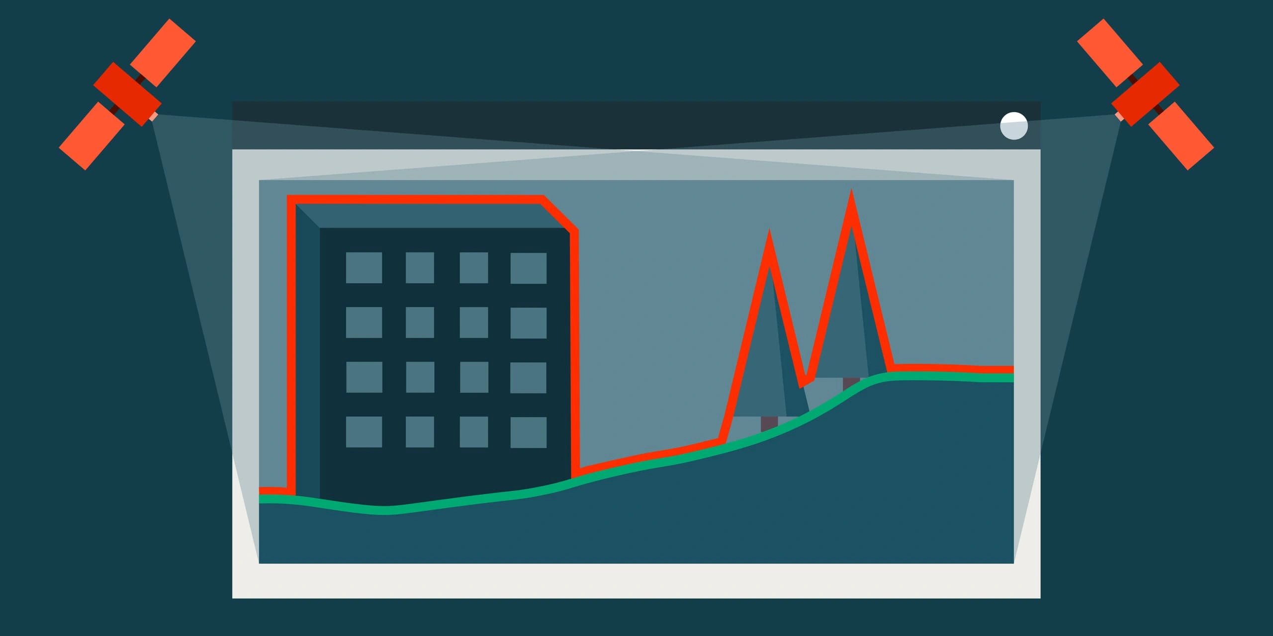
DEM vs DSM - Why It Matters in Practice
It's worth noting that many workflows confuse DEMs with DSMs.
- DEM → bare ground (terrain only)
- DSM → surface including buildings and vegetation
Choosing the wrong one can significantly affect results - particularly in flood modelling, telecoms and engineering design.
The Bigger Picture
DEMs are no longer just a "background dataset" used for visualisation.
They are now a core analytical layer used across engineering, environmental science, infrastructure planning and risk modelling.
As satellite imagery resolution improves and global elevation datasets become more accessible, DEMs are shifting from specialist GIS products to everyday decision-making tools.
The key question is no longer "what is a DEM?"
It's "what problem are you trying to solve with it?"
Need a DEM for your project? Our team can help you select the right elevation product - archive or fresh tasking, DSM or DTM - matched to your application.