Selecting the right route for a haul road or linear infrastructure project can have a lasting impact on construction costs, earthworks, drainage design and ongoing operations.
For mining operations, a poorly positioned haul road can introduce unnecessary gradients, additional material movement and difficult drainage crossings. Similar challenges apply to railways, pipelines, transmission lines and other linear infrastructure crossing remote or complex terrain.
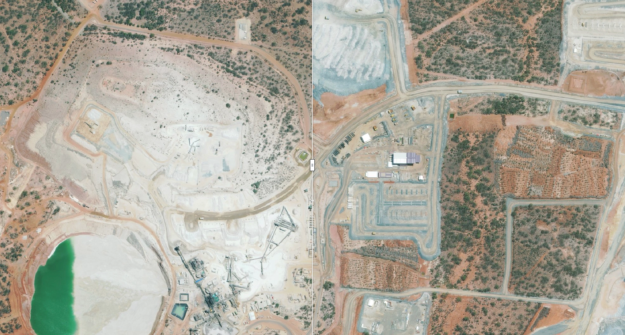
Terrabit combines high-resolution satellite imagery with satellite-derived elevation models to give engineering teams a consistent view of the terrain across broad search corridors. Candidate alignments can be assessed at desktop before committing to detailed engineering, LiDAR acquisition or ground survey.
The result is a practical way to narrow the options, identify potential constraints and focus detailed investigation where it adds the most value.
To preserve confidentiality, the project location has been withheld.
The Challenge
Route selection across large or remote areas often begins with limited terrain information. Global elevation datasets, such as the 30m Shuttle Radar Topography Mission (SRTM) DEM, are useful for regional terrain assessment but are based on radar data collected in 2000 and may lack the detail needed to assess individual haul road alignments, drainage channels and local slope changes.
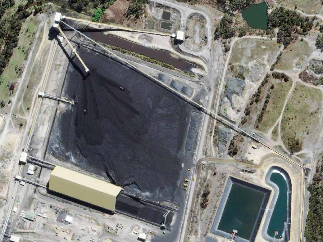
For mining projects, higher-resolution satellite imagery and elevation models provide a more detailed view of the terrain, helping engineering teams compare route options and identify potential constraints before committing to detailed surveys.
Engineering teams need to understand:
- Gradients and terrain: Identify steep sections, side slopes and terrain constraints that may affect road grades and alignment
- Earthworks: Compare preliminary cut-and-fill requirements across alternative routes
- Drainage and crossings: Locate waterways, drainage channels and potential crossing constraints
- Existing infrastructure: Identify tracks, access roads, cleared land and existing corridors that may offer opportunities for co-location
- Survey priorities: Narrow a broad set of options before investing in detailed survey and engineering
For mining projects, these considerations are particularly important when assessing new pit access, waste dump connections, plant access roads and haul road extensions.
The Solution
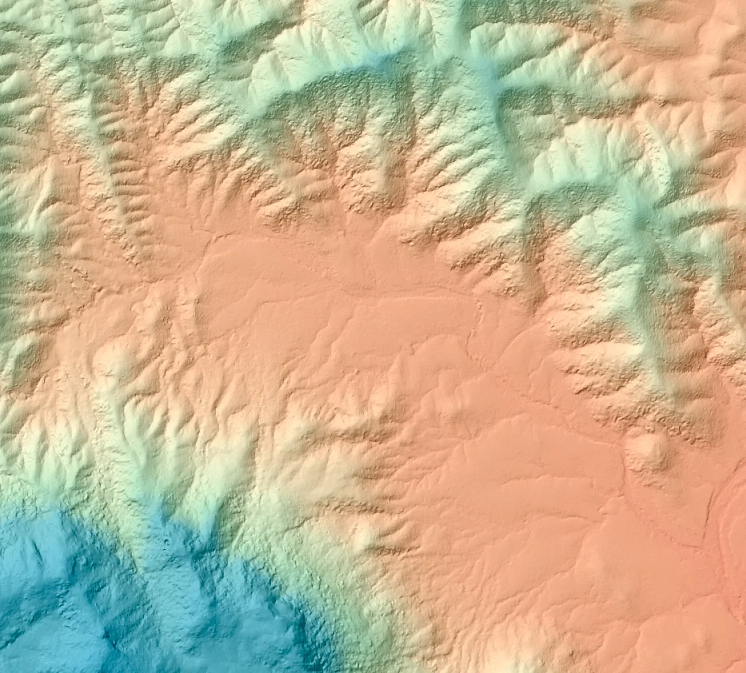
Desktop route screening built on high-resolution stereo imagery and 50cm terrain models.
1. Establish the Search Corridor
Define the project area to cover the proposed route and viable alternatives. A 400 km² study area, for example, could cover a corridor 2km wide and 200km long, providing broad coverage for haul road and linear infrastructure route selection.
Capturing the full search envelope allows engineering teams to compare multiple alignments against the same consistent imagery and elevation data before narrowing down preferred routes.
2. Acquire High-Resolution Imagery and Elevation Data
Terrabit coordinates suitable stereo satellite acquisitions and processes the imagery into elevation products, including Digital Surface Models (DSMs) and Digital Terrain Models (DTMs), where terrain conditions and processing support reliable ground extraction.
Matching high-resolution optical imagery provides the visual context needed to interpret land cover, existing tracks, drainage features and potential obstacles.
Deliverables can be prepared in the project's required coordinate reference system and supplied for use in established GIS workflows.
3. Compare Candidate Alignments
Engineering teams can overlay proposed routes on the terrain model to investigate gradients, extract preliminary long-sections and cross-sections, and identify sections that may require significant cut and fill.
Slope mapping and terrain profiles help highlight potential constraints before alignments progress to detailed design. Preliminary earthworks estimates can also support comparative assessment, subject to the quality of the elevation data and the assumptions used.
4. Assess Drainage and Existing Access
Satellite imagery and elevation data provide complementary views of the corridor.
Imagery helps identify visible waterways, existing roads, cleared areas and other features that may influence route selection. Terrain analysis helps assess local relief, drainage patterns and potential crossing locations.
Existing tracks or cleared corridors can also be investigated as opportunities to reduce new construction.
Through Albatross, teams can monitor satellite capture progress, receive delivery status updates and keep imagery and elevation data accessible as the project progresses, supporting ongoing corridor monitoring and future route assessments.
5. Shortlist Routes for Detailed Investigation
Once candidate alignments have been assessed, teams can compare the options against project-specific criteria such as gradients, indicative earthworks, waterway crossings, clearing requirements and access constraints.
The preferred options can then progress to targeted ground surveys, geotechnical investigations, focused LiDAR acquisition or engineering design.
Satellite-derived elevation data supports early-stage screening but does not replace the detailed survey and validation required for final design.
The Workflow
- Define the route area of interest and candidate alignments
- Acquire high-resolution stereo imagery across the study area
- Process elevation models and matching orthorectified imagery
- Analyse slopes, profiles, drainage features and preliminary earthworks
- Compare route options against the project's engineering and environmental criteria
- Shortlist preferred alignments for targeted survey and detailed design
For a deeper look at each stage, see our guide to route selection for roads, rail, pipelines and powerlines.
Where It Can Be Used
Mining and haul roads
Assess new haul road alignments, pit access, waste dump connections and road extensions across large operating areas.
Rail and heavy-haul corridors
Compare alternative railway alignments and identify terrain constraints, gradients and potential crossing locations.
Pipelines and utilities
Screen broad pipeline routes, access requirements and potential co-location with existing infrastructure.
Transmission and energy corridors
Assess alternative corridor locations and identify terrain, drainage and land-cover constraints before detailed investigations.
Vegetation health and encroachment
Monitor vegetation health and identify changes along haul roads, pipelines, transmission lines and other linear infrastructure. Repeat satellite imagery helps track vegetation growth, encroachment into access corridors and changes near operational infrastructure over time.
How Satellite-Derived Terrain Data Fits into Route Planning
Results
Integrating satellite imagery and elevation data into route planning and corridor monitoring can help project teams:
- Compare more options: Assess multiple candidate alignments against consistent terrain data
- Identify constraints earlier: Highlight steep terrain, drainage features and potential earthworks challenges before detailed design
- Improve survey planning: Focus field investigations on shortlisted routes and higher-risk sections
- Monitor vegetation health: Track changes in vegetation condition along corridors and around operational infrastructure
- Identify clearing and encroachment: Map vegetation clearing, monitor changes within easements and identify areas where vegetation is approaching roads or infrastructure
- Support ongoing monitoring: Use repeat satellite imagery to track changes over time and maintain visibility across large or remote areas
Combining high-resolution imagery with elevation data supports better-informed route selection while providing a practical foundation for ongoing vegetation, clearing and corridor monitoring.
Managing Data in Albatross
All imagery and elevation deliverables can be managed through Albatross, Terrabit's geospatial platform.
Project teams can access their datasets in one place, review imagery and track orders, with deliverables available for integration into GIS environments such as QGIS and ArcGIS.
This gives engineering teams and project stakeholders a consistent spatial reference for route assessment, supporting collaboration from initial feasibility through to more detailed investigation.
Plan Your Next Corridor
Whether you're assessing a new mine haul road, comparing infrastructure alignments or planning access across remote terrain, Terrabit can help you establish the spatial foundation for early-stage route selection.
Talk to our team about high-resolution satellite imagery and elevation data for your next corridor project.