Overview
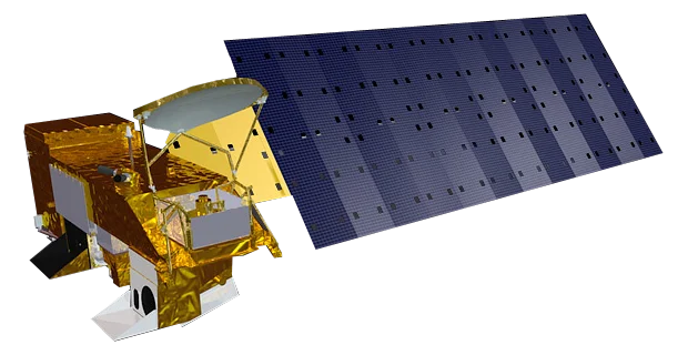
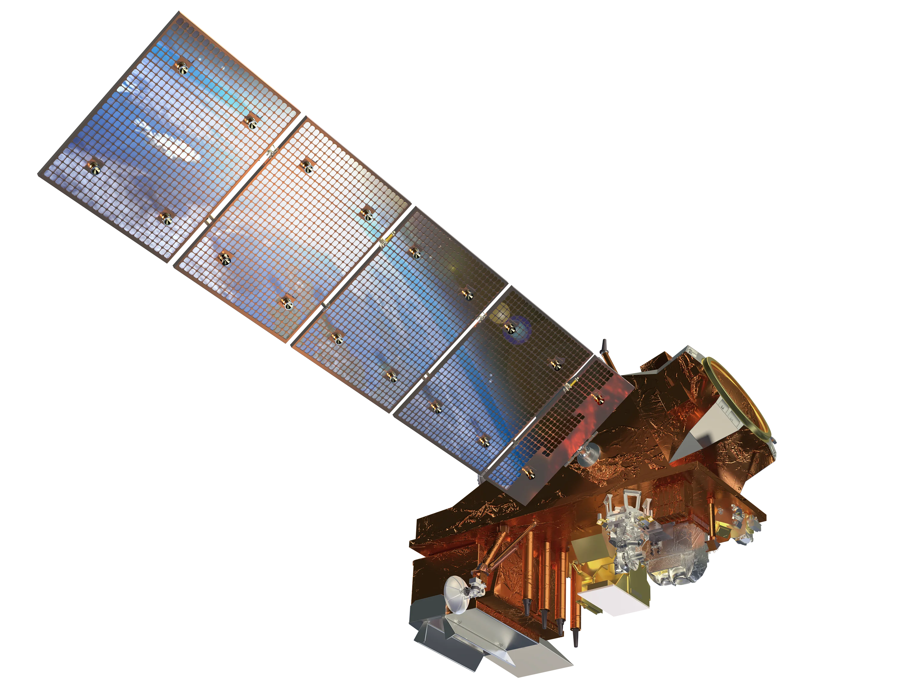
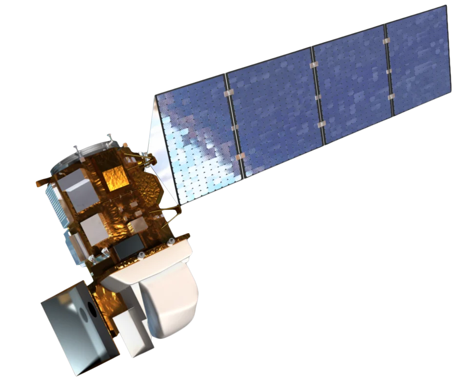
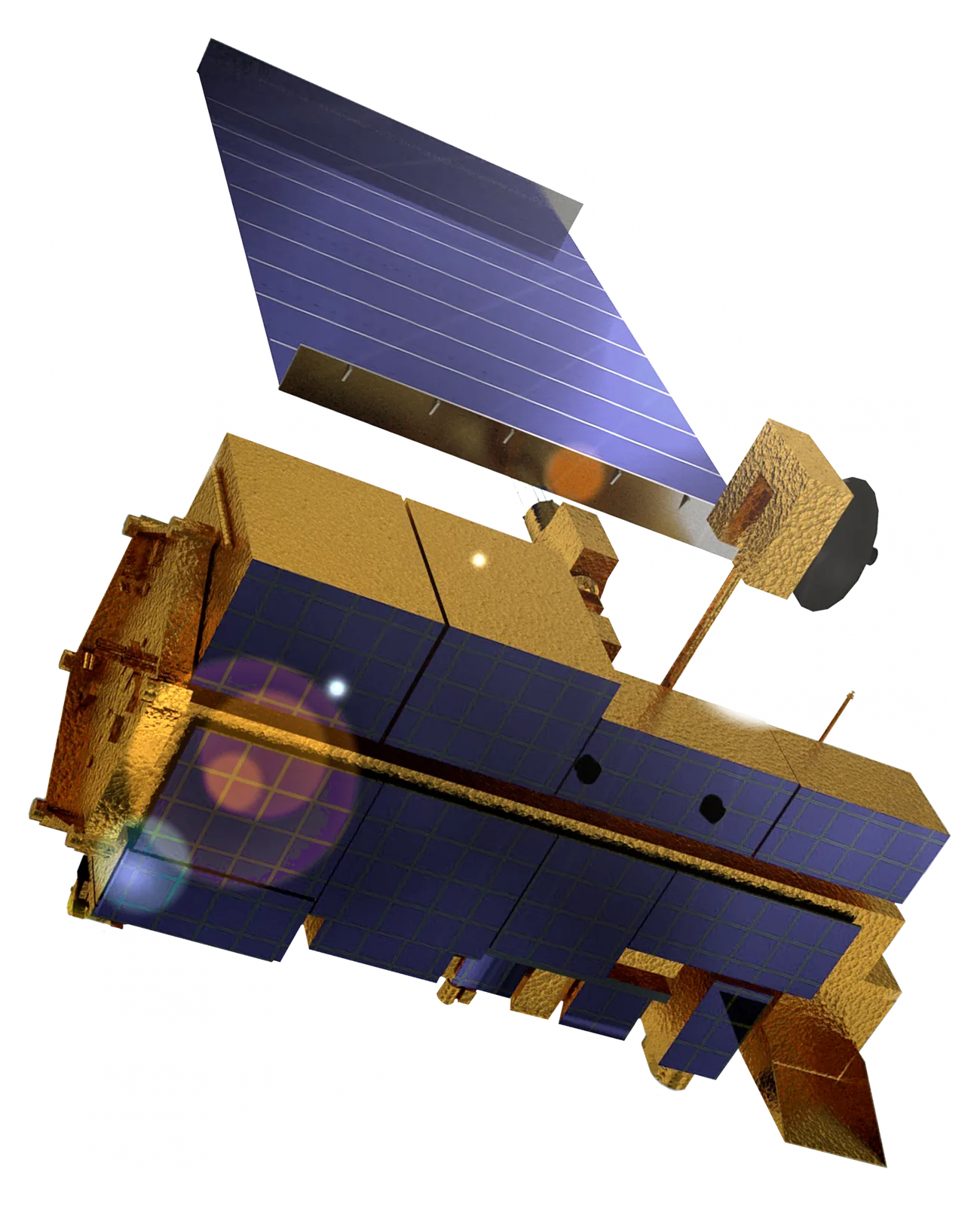
Terra (originally EOS AM-1) is NASA's flagship Earth Observing System satellite, launched in December 1999. It carries five instruments that together observe the land, oceans, atmosphere and energy balance. Terra has far outlived its six-year design life and its data underpins more than two decades of global change records.
Instruments
- MODIS - Moderate Resolution Imaging Spectroradiometer with 36 bands at 250 m to 1 km across a 2330 km swath
- ASTER - Advanced Spaceborne Thermal Emission and Reflection Radiometer from Japan, with 15 m visible/NIR imagery, stereo for elevation models and 90 m thermal bands (its SWIR bands stopped working in 2008)
- MISR - Multi-angle Imaging SpectroRadiometer viewing each scene from nine angles
- CERES - Clouds and the Earth's Radiant Energy System
- MOPITT - Measurements of Pollution in the Troposphere, from Canada
Extended Mission
Terra is in the final years of its extended mission. It no longer makes orbit adjustments to hold its original schedule, so its orbit has been lowered and its equator crossing time is drifting earlier. Its long record is being continued by the VIIRS instruments on the JPSS satellites.
Data Access
All Terra data is free and open through NASA's Earthdata archives. The ASTER Global Digital Elevation Model (GDEM) is also free.
Applications
- Wildfire detection - MODIS active fire and burned area products
- Land cover change - Vegetation indices, snow cover and land surface temperature
- Geology and mining - ASTER mineral mapping and thermal analysis
- Elevation models - ASTER stereo imagery and the global GDEM
- Air quality - Aerosols and carbon monoxide