Overview
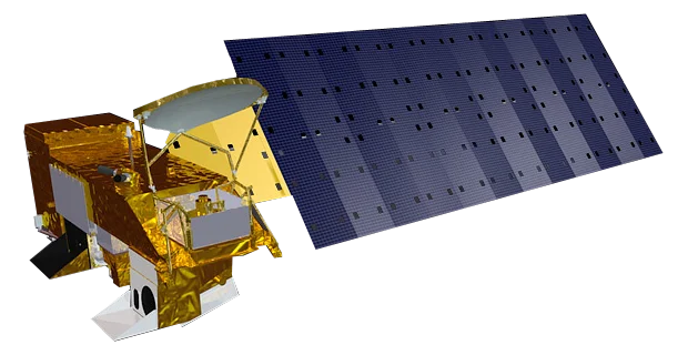
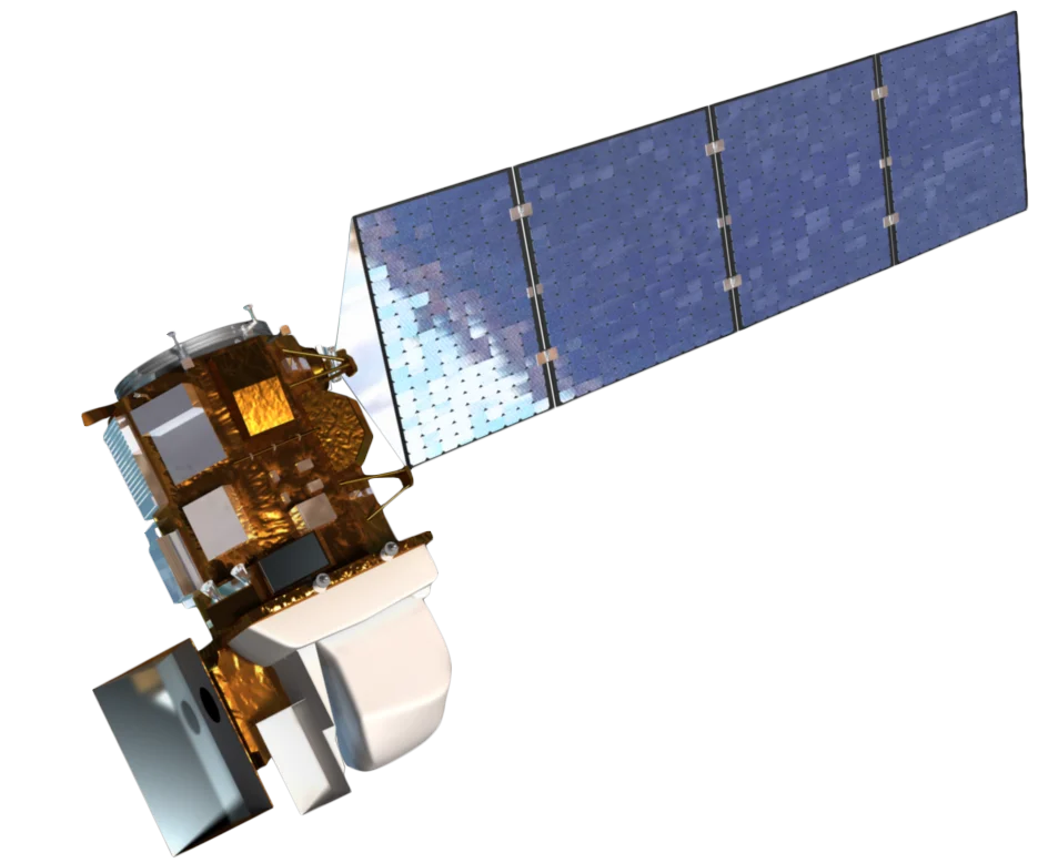
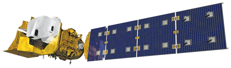
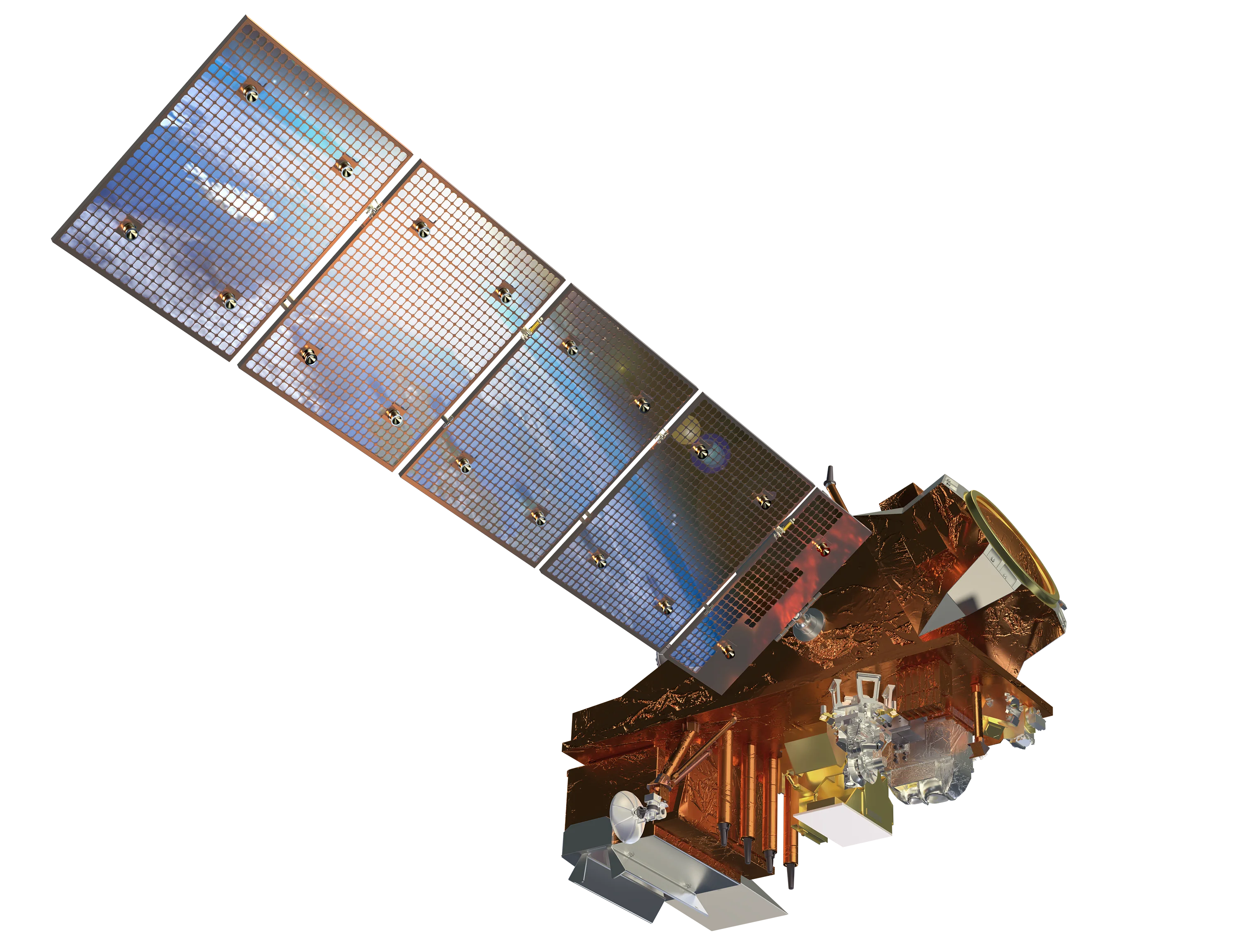
The Joint Polar Satellite System (JPSS) is the United States' polar-orbiting weather satellite programme, run by NOAA with NASA building and launching the satellites. Three satellites are currently in orbit: Suomi NPP, launched in 2011 as the pathfinder, NOAA-20 (JPSS-1) in 2017 and NOAA-21 (JPSS-2) in 2022. They share the same afternoon orbit, spaced so that together they revisit each location several times a day.
VIIRS Imager
The Visible Infrared Imaging Radiometer Suite (VIIRS) is the successor to MODIS and the main imaging instrument on each satellite.
- 22 bands - Visible, near-infrared, shortwave, mid-wave and thermal infrared
- 375 m imagery bands - Twice the resolution of MODIS for fire and cloud detection
- Day/Night Band - Sensitive enough to image city lights, gas flares, fishing fleets and moonlit clouds
- 3040 km swath - Wide enough to leave no gaps between orbits at the equator
Other Instruments
- CrIS - Cross-track Infrared Sounder for atmospheric temperature and humidity
- ATMS - Advanced Technology Microwave Sounder for all-weather profiles
- OMPS - Ozone Mapping and Profiler Suite
- CERES - Radiation budget, on Suomi NPP and NOAA-20
Data Access
JPSS data is free and open through NOAA and NASA, including near real-time fire and imagery products.
Applications
- Wildfire detection - 375 m VIIRS active fire detections used by fire agencies worldwide, including in Australia
- Weather forecasting - Temperature and moisture profiles for numerical weather prediction
- Night-time lights - Economic activity, power outages and gas flaring
- Ocean and coasts - Sea surface temperature and ocean colour
- Snow, ice and floods - Daily snow cover, sea ice and flood extent