Overview
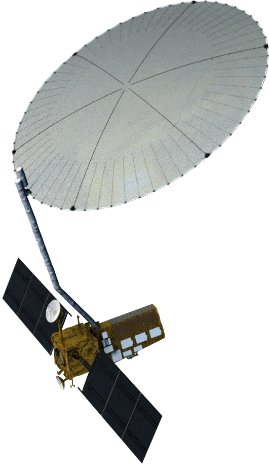
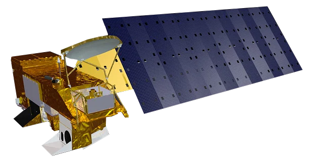
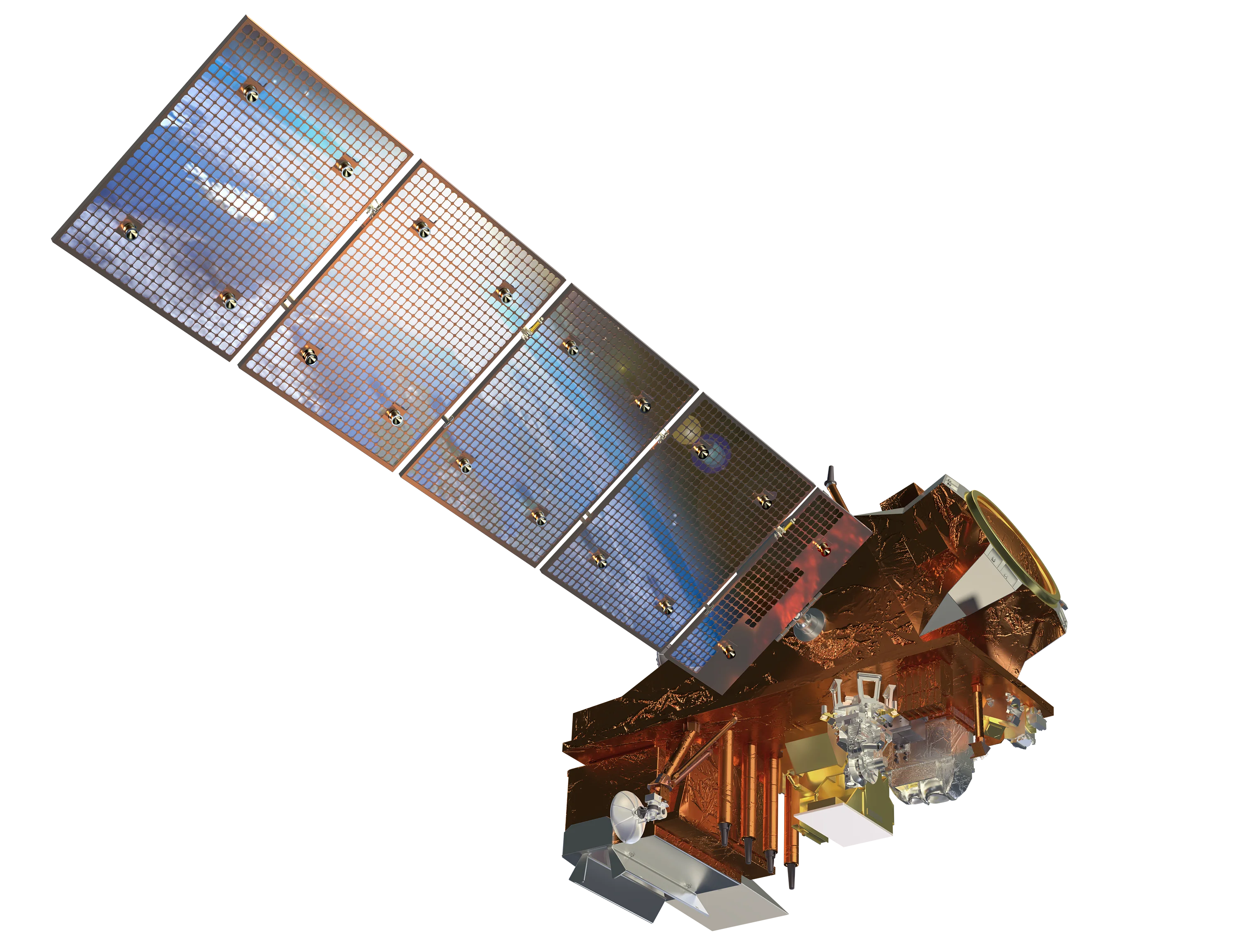
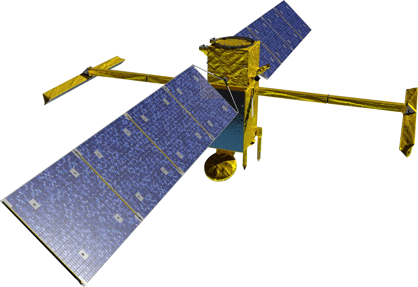
SWOT (Surface Water and Ocean Topography) is a joint mission between NASA and the French space agency CNES, with contributions from the Canadian and UK space agencies. Launched in December 2022, it is the first satellite to survey the height of nearly all of the Earth's surface water, from the open ocean to rivers and lakes.
KaRIn Instrument
Most radar altimeters measure a single point directly below the satellite. SWOT's Ka-band Radar Interferometer (KaRIn) instead uses two antennas on a 10 m boom to measure water height across two 50 km wide swaths at once.
- Wide-swath altimetry - 2D maps of water surface elevation rather than single profiles
- Ka-band (35.75 GHz) - Short wavelength for fine height precision
- Rivers and lakes - Measures rivers wider than about 100 m and lakes larger than about 6 hectares
- Ocean detail - Resolves eddies and currents about ten times smaller than conventional altimetry
Data Products
- Water surface elevation - Raster products at 100 m and 250 m
- River and lake heights - Height, width and slope along river reaches and for individual lakes
- Ocean topography - Sea surface height at 2 km resolution
Data Access
SWOT data is free and open through NASA's PO.DAAC and the CNES AVISO and Hydroweb services.
Applications
- Water resources - Storage in lakes and reservoirs, including for mining and irrigation supply
- Flood monitoring - River height and slope during flood events
- Coastal oceanography - Currents, eddies and coastal sea level
- Hydrological modelling - River discharge estimates in ungauged catchments