Overview
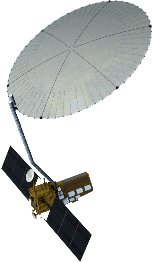
NISAR (NASA-ISRO Synthetic Aperture Radar) is the first satellite to carry two radar frequencies. NASA's Jet Propulsion Laboratory supplied the L-band radar and the 12 m reflector, and the Indian Space Research Organisation (ISRO) supplied the S-band radar, the spacecraft and the launch. It launched on 30 July 2025 from Sriharikota, India.
Dual-Frequency SAR
- L-band (24 cm) - Penetrates vegetation and is highly stable for measuring ground movement
- S-band (10 cm) - More sensitive to crops, light vegetation and surface texture
- SweepSAR - Wide 242 km swath without giving up resolution
- Interferometry - Repeat-pass InSAR detects surface movement at centimetre scale
Systematic Global Coverage
Unlike commercial SAR satellites that are tasked to order, NISAR images nearly all of the Earth's land and ice on a fixed schedule every 12 days. Combining ascending and descending passes gives an average revisit of about 6 days, building a consistent time series over every site.
Data Access
NISAR data is free and open, distributed by NASA's Alaska Satellite Facility and ISRO.
Applications
- Ground deformation - Subsidence over mines, tailings dams, oil and gas fields and cities
- Infrastructure stability - Movement of levees, embankments, bridges and pipelines
- Natural hazards - Earthquake, volcano and landslide monitoring
- Forests and agriculture - Biomass change and crop growth under cloud
- Ice and glaciers - Ice sheet flow and sea ice movement