Overview
SMOS (Soil Moisture and Ocean Salinity) is the second of ESA's Earth Explorer missions. Launched in 2009 on a three-year design life, it remains in operation well over a decade later. SMOS was the first satellite to map both soil moisture over land and salinity at the ocean surface from space.
MIRAS Instrument
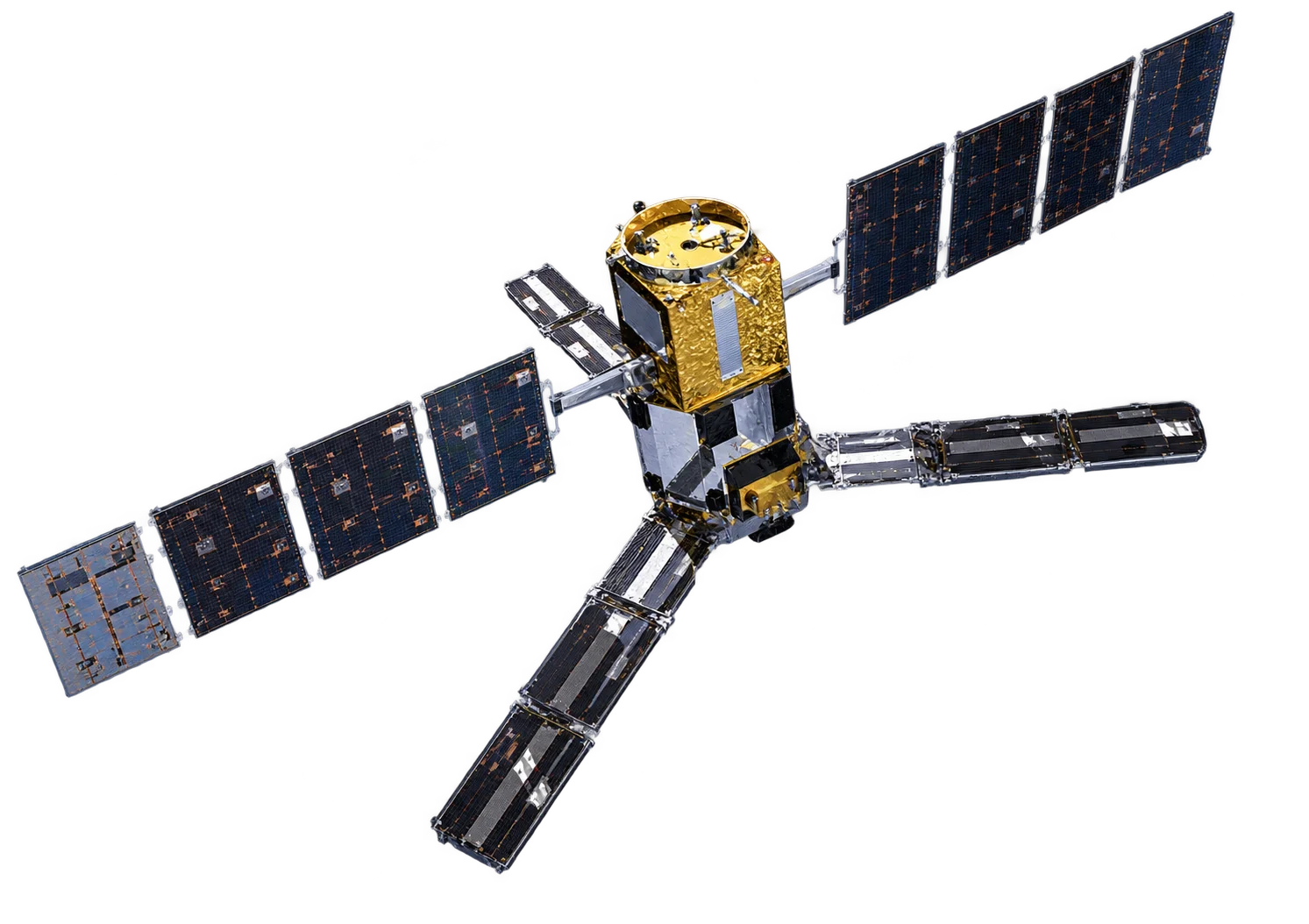
SMOS is a passive sensor: it does not transmit a signal but measures the natural microwave radiation emitted by the Earth at L-band. It sits alongside the SAR missions because, like SAR, it synthesises a large antenna from many small ones.
- Aperture synthesis - 69 small receivers on three 4 m arms combine to act as a single large antenna
- L-band (1.4 GHz) - A protected frequency that is highly sensitive to water content in soil and salt in seawater
- Multi-angle views - Each point is seen at several incidence angles as the satellite passes overhead
- About 35 to 50 km resolution - Coarse, but consistent global coverage every three days
Measurements
- Soil moisture - Water held in the top few centimetres of soil
- Sea surface salinity - Salt concentration at the ocean surface
- Thin sea ice - Thickness of new ice up to about half a metre
- Frozen ground - Detection of soil freeze and thaw
Data Access
SMOS data is free and open through ESA.
Applications
- Drought and agriculture - Soil moisture for crop monitoring and yield forecasting
- Flood forecasting - Soil saturation as an input to flood risk models
- Ocean circulation - Salinity for ocean and climate models
- Weather forecasting - Soil moisture assimilated into numerical weather prediction
Image: DLR German Aerospace Center, CC BY 2.0.