Overview
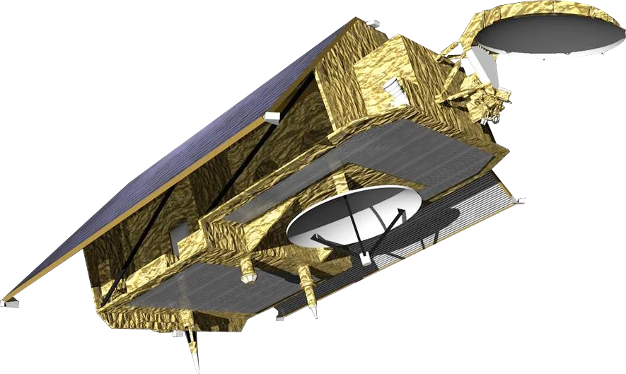
Sentinel-6 is the Copernicus reference mission for measuring sea level. It is a partnership between ESA, EUMETSAT, NASA, NOAA and CNES, with support from the European Commission. Two identical satellites make up the mission: Sentinel-6 Michael Freilich (Sentinel-6A), launched in November 2020 and named after the former head of NASA's Earth Science Division, and Sentinel-6B, launched in November 2025 to continue the record into the 2030s.
Radar Altimetry
Unlike an imaging radar, Sentinel-6 measures the height of the sea surface directly beneath the satellite.
- Poseidon-4 altimeter - Operates in Ku-band and C-band, with the second frequency correcting for ionospheric delay
- SAR mode - Sharpens along-track resolution to about 300 m, improving performance near coasts
- AMR-C radiometer - Corrects the radar signal for water vapour in the atmosphere
- Precise orbit - GNSS, DORIS and laser retroreflector tracking pin down the satellite's position to the centimetre
Orbit and Coverage
- 1336 km altitude - High orbit that reduces atmospheric drag and gravity-model errors
- 66 degree inclination - Non-sun-synchronous, so tides are sampled at all times of day
- 10-day repeat - Revisits the same ground tracks as Jason-3 to keep the record seamless
Data Access
Sentinel-6 data is free and open, distributed by EUMETSAT and NOAA under Copernicus.
Applications
- Sea-level rise - The reference global mean sea-level record used in climate assessments
- Ocean forecasting - Currents, eddies and ocean heat content for weather and marine services
- Coastal planning - Inputs to storm-surge and coastal-flooding risk assessments
- Atmospheric profiling - GNSS radio occultation supports weather forecasting