Overview
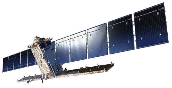
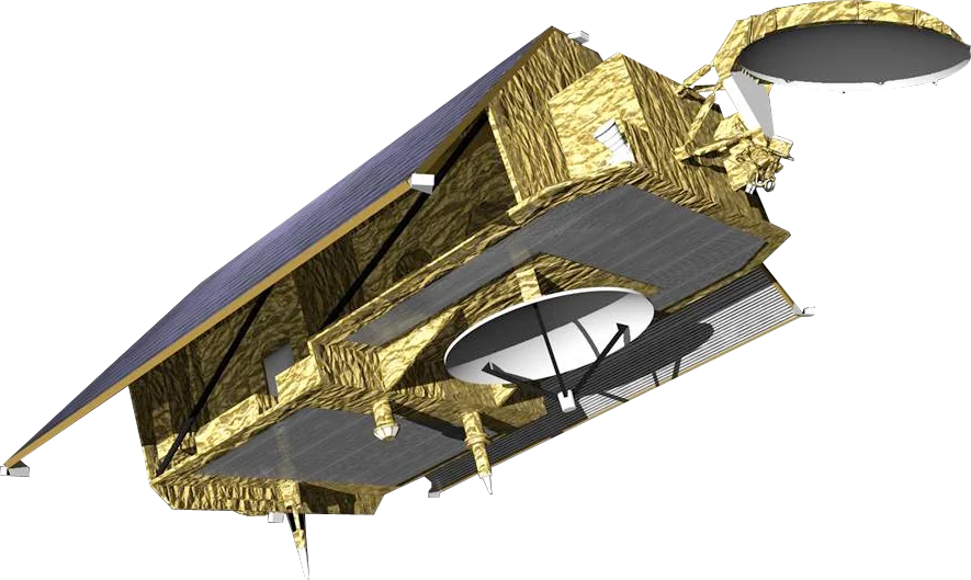
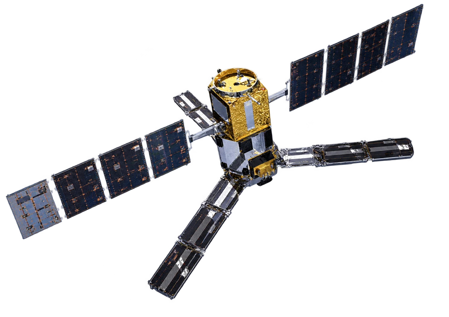
Biomass is the seventh mission in ESA's Earth Explorer programme. It carries the first P-band Synthetic Aperture Radar (SAR) ever flown in space. With a wavelength of about 70 cm, P-band penetrates the forest canopy and interacts with trunks and large branches, where most of a forest's carbon is stored. This allows Biomass to measure how much carbon the world's forests hold and how that changes over time.
P-band SAR
- Canopy penetration - Long wavelength sees through leaves to the woody structure beneath
- Full polarimetry - HH, HV, VH and VV channels to separate scattering from ground, trunks and branches
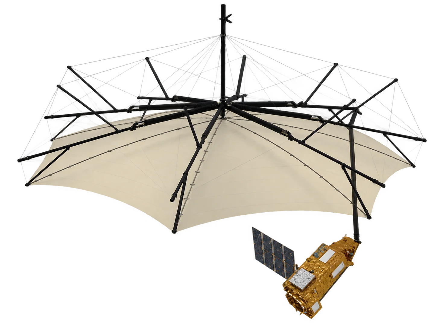
- 12 m reflector - Large deployable antenna needed to form a P-band beam from orbit
- Tomography - Repeated passes from slightly different positions build a 3D view of the forest
Data Products
- Above-ground biomass - Global maps at 200 m resolution
- Forest height - Global canopy height at 200 m resolution
- Severe forest disturbance - Clearing and degradation at 50 m resolution
- Sub-canopy terrain - Ground topography beneath dense tropical forest
Coverage Restrictions
To avoid interfering with space-object tracking radars, Biomass does not operate over Europe and North America. Its science focus is on tropical, subtropical and boreal forests elsewhere, including Australia and Southeast Asia.
Data Access
Biomass data is free and open through ESA.
Applications
- Carbon accounting - Forest carbon stocks for national greenhouse gas reporting
- Deforestation monitoring - Detecting clearing and degradation beneath cloud cover
- Climate science - Reducing uncertainty in the land carbon sink
- Terrain mapping - Ground elevation under forest canopy
Image: ESA/ATG Medialab, CC BY-SA 3.0 IGO.